
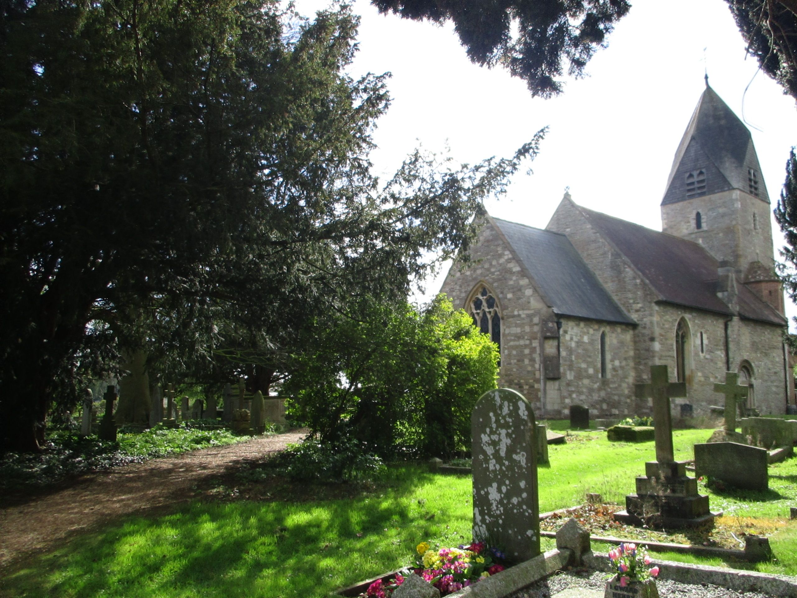
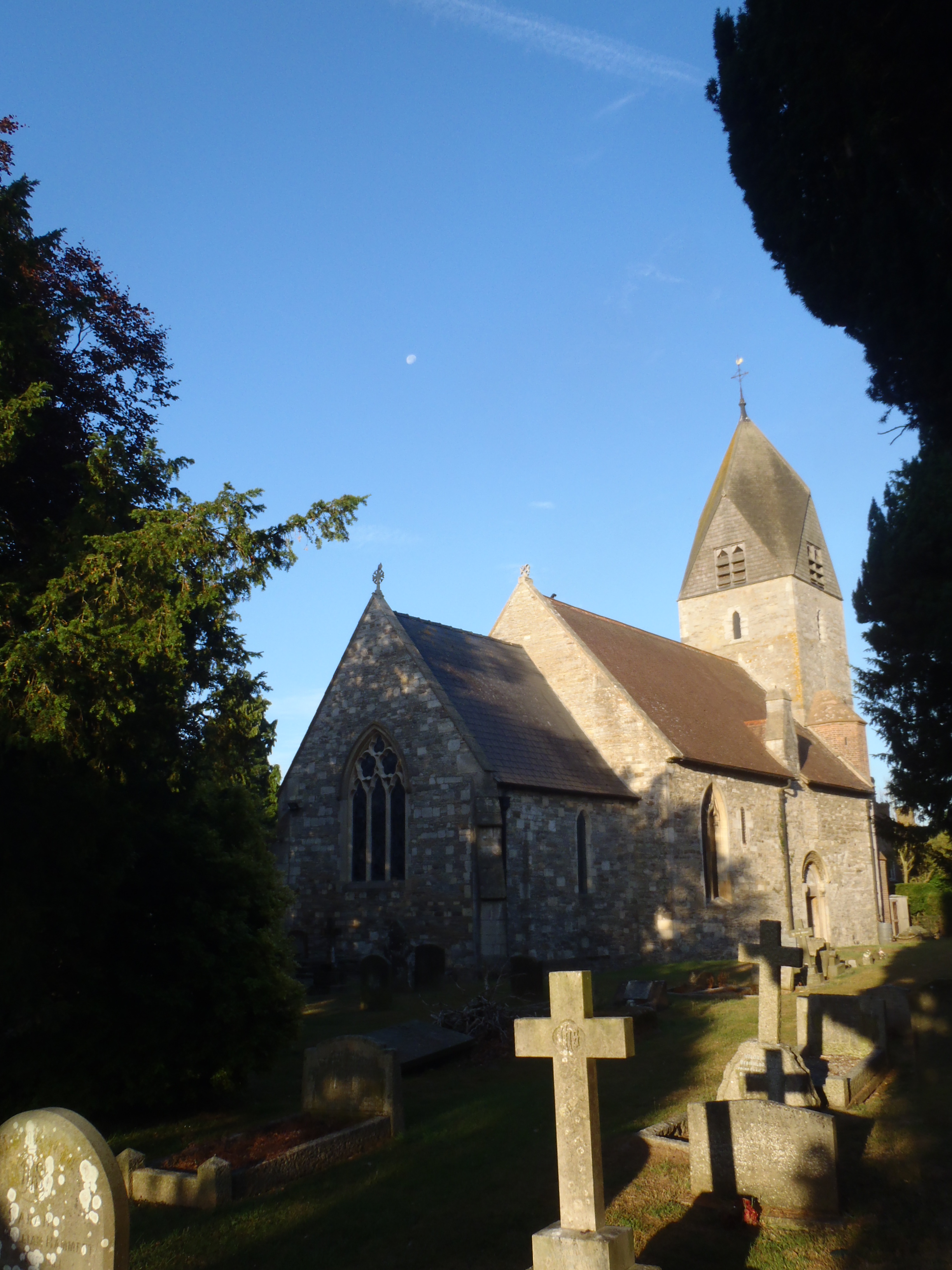
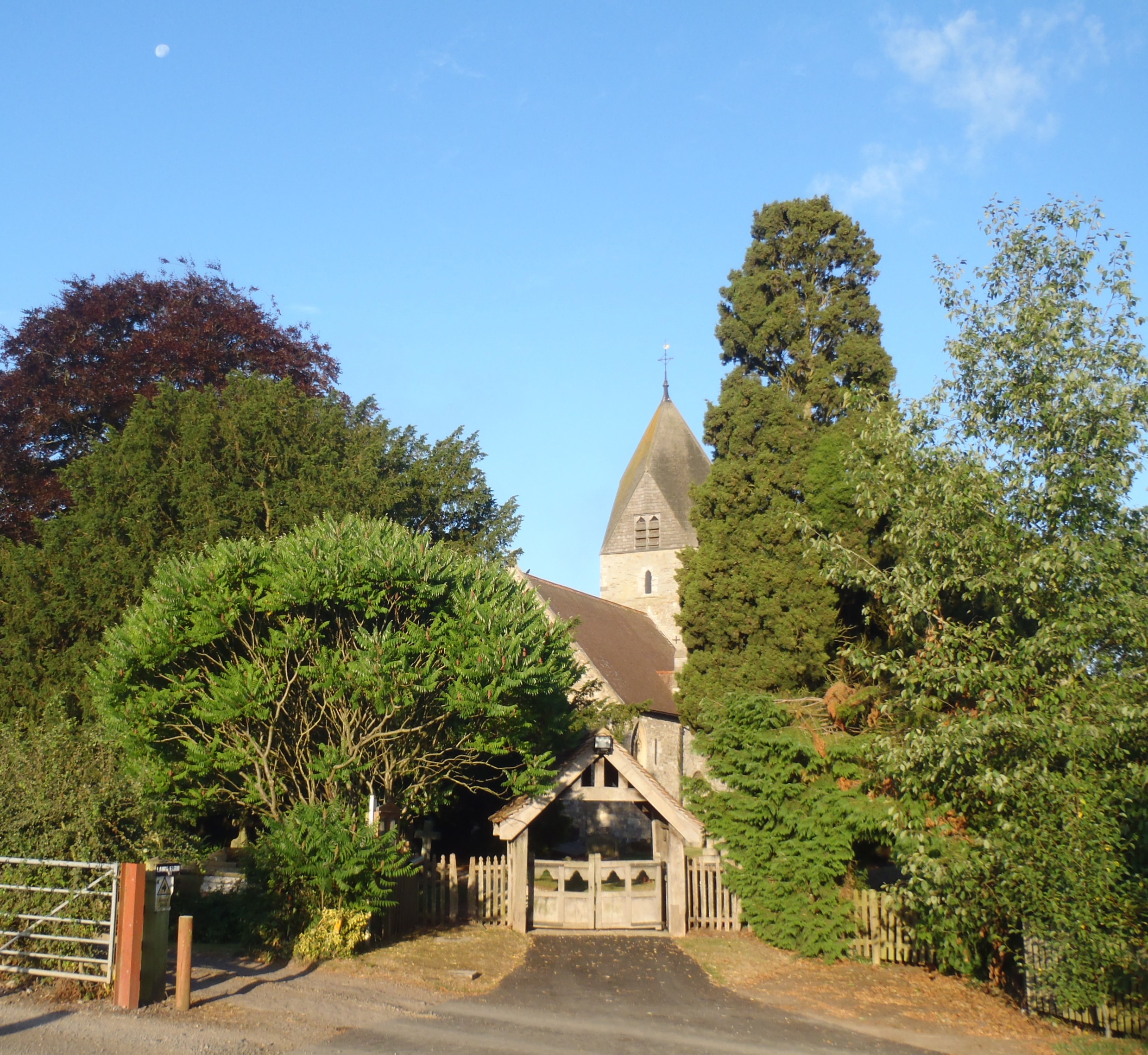
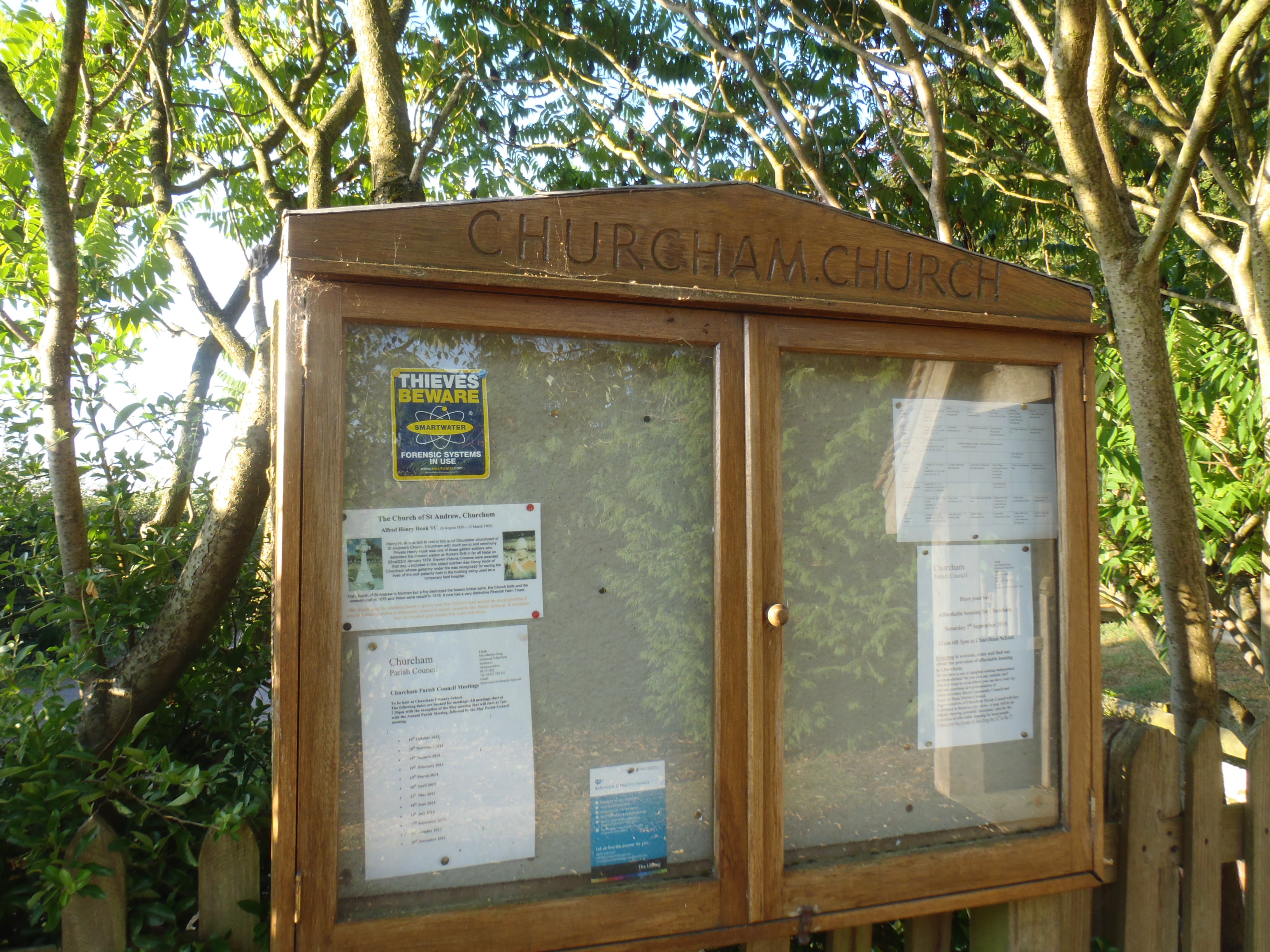
| Memorials | : | 372 |
| Location | : | Churcham, Forest of Dean District, England |
| Coordinate | : | 51.8618970, -2.3375000 |
frequently asked questions (FAQ):
-
Where is St. Andrew's Churchyard?
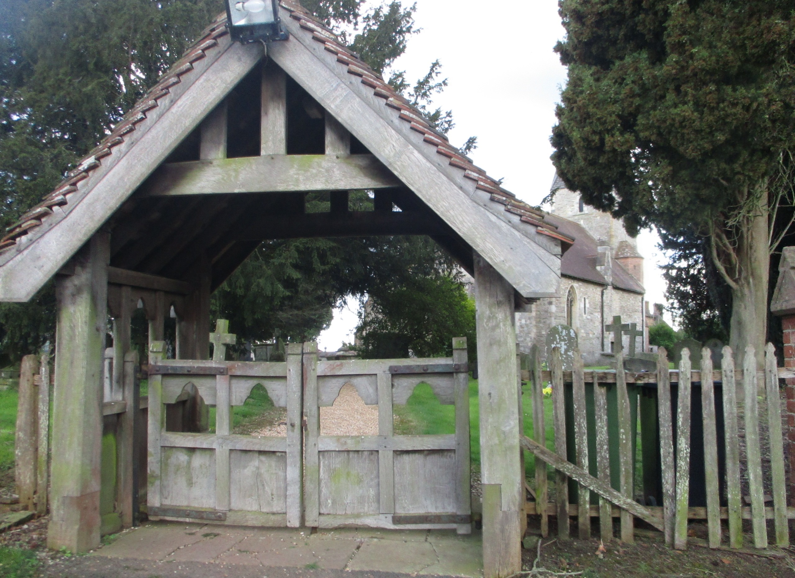
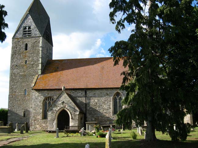
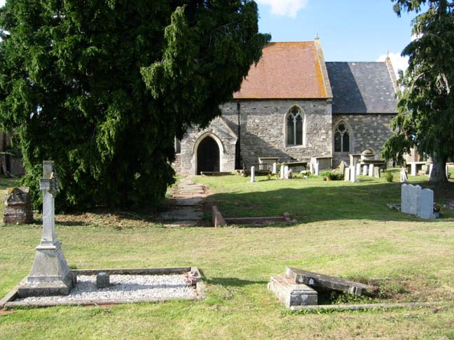
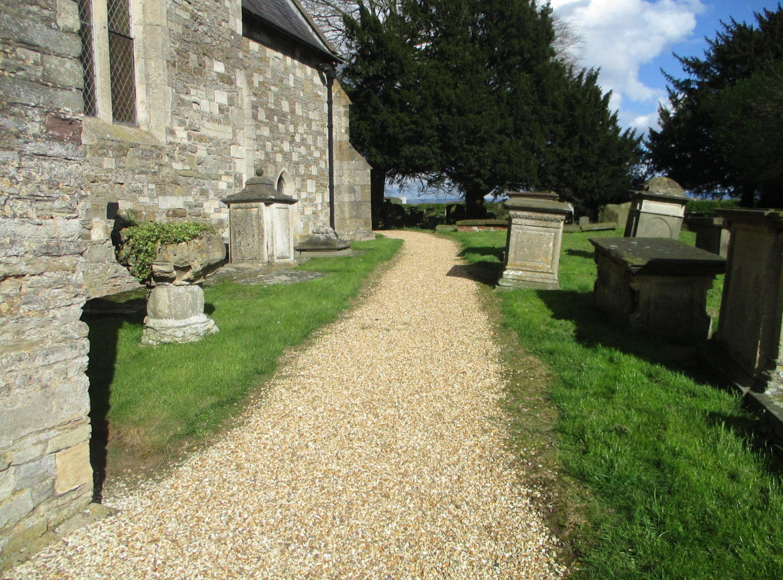
St. Andrew's Churchyard is located at Churcham, Forest of Dean District ,Gloucestershire ,England.
-
St. Andrew's Churchyard cemetery's updated grave count on graveviews.com?
372 memorials
-
Where are the coordinates of the St. Andrew's Churchyard?
Latitude: 51.8618970
Longitude: -2.3375000


Nearby Cemetories:
1. St. Peter's Churchyard
Minsterworth, Tewkesbury Borough, England
Coordinate: 51.8511500, -2.3307800
2. Holy Innocents Churchyard
Highnam, Tewkesbury Borough, England
Coordinate: 51.8740890, -2.2970050
3. St. Mary the Virgin Cemetery
Rudford, Forest of Dean District, England
Coordinate: 51.8936272, -2.3213976
4. St. Oswald Churchyard
Lassington, Tewkesbury Borough, England
Coordinate: 51.8884700, -2.2978000
5. St. Swithun's Churchyard
Hempsted, City of Gloucester, England
Coordinate: 51.8515740, -2.2719420
6. St John the Baptist Churchyard
Huntley, Forest of Dean District, England
Coordinate: 51.8712980, -2.4068210
7. Llanthony Secunda Priory
Hempsted, City of Gloucester, England
Coordinate: 51.8602130, -2.2572640
8. St. James' Churchyard
Quedgeley, City of Gloucester, England
Coordinate: 51.8257770, -2.2811150
9. St. Mary the Virgin Churchyard
Hartpury, Forest of Dean District, England
Coordinate: 51.9110277, -2.3204027
10. St. Giles Churchyard
Maisemore, Tewkesbury Borough, England
Coordinate: 51.8931690, -2.2719540
11. St. Laurence Churchyard
Longney, Stroud District, England
Coordinate: 51.8100627, -2.3441589
12. St Nicholas' Church
Gloucester, City of Gloucester, England
Coordinate: 51.8672800, -2.2496760
13. Saint Oswald's Priory
Gloucester, City of Gloucester, England
Coordinate: 51.8694000, -2.2478000
14. Gloucester Cathedral
Gloucester, City of Gloucester, England
Coordinate: 51.8675920, -2.2467670
15. St Nicholas Churchyard
Hardwicke, Stroud District, England
Coordinate: 51.8101200, -2.3007300
16. Saint Peter and Saint Paul Churchyard
Westbury-on-Severn, Forest of Dean District, England
Coordinate: 51.8228858, -2.4117957
17. Hartpury Methodist Churchyard
Hartpury, Forest of Dean District, England
Coordinate: 51.9196444, -2.2883000
18. St Margaret's Chapel
Gloucester, City of Gloucester, England
Coordinate: 51.8686720, -2.2321530
19. Chapel of St Mary Magdalen
Gloucester, City of Gloucester, England
Coordinate: 51.8693000, -2.2291000
20. Saint Catharine's
Gloucester, City of Gloucester, England
Coordinate: 51.8691700, -2.2273500
21. Horton Road Cemetery
Gloucester, City of Gloucester, England
Coordinate: 51.8666900, -2.2268300
22. Gloucester Old Cemetery
Gloucester, City of Gloucester, England
Coordinate: 51.8482100, -2.2276700
23. St Margaret Church
Whaddon, Stroud District, England
Coordinate: 51.8214600, -2.2433000
24. St Lawrence Churchyard
Sandhurst, Tewkesbury Borough, England
Coordinate: 51.9083260, -2.2489570