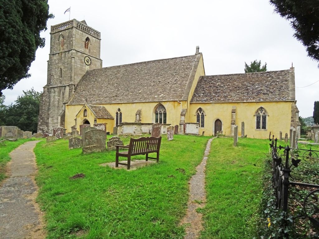
| Memorials | : | 0 |
| Location | : | Arlingham, Stroud District, England |
| Coordinate | : | 51.7940080, -2.4263290 |
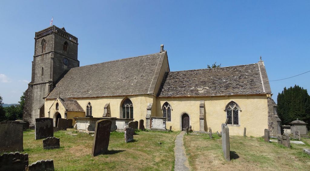
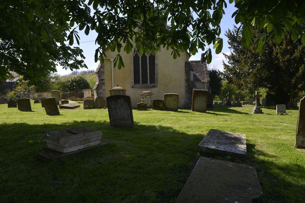
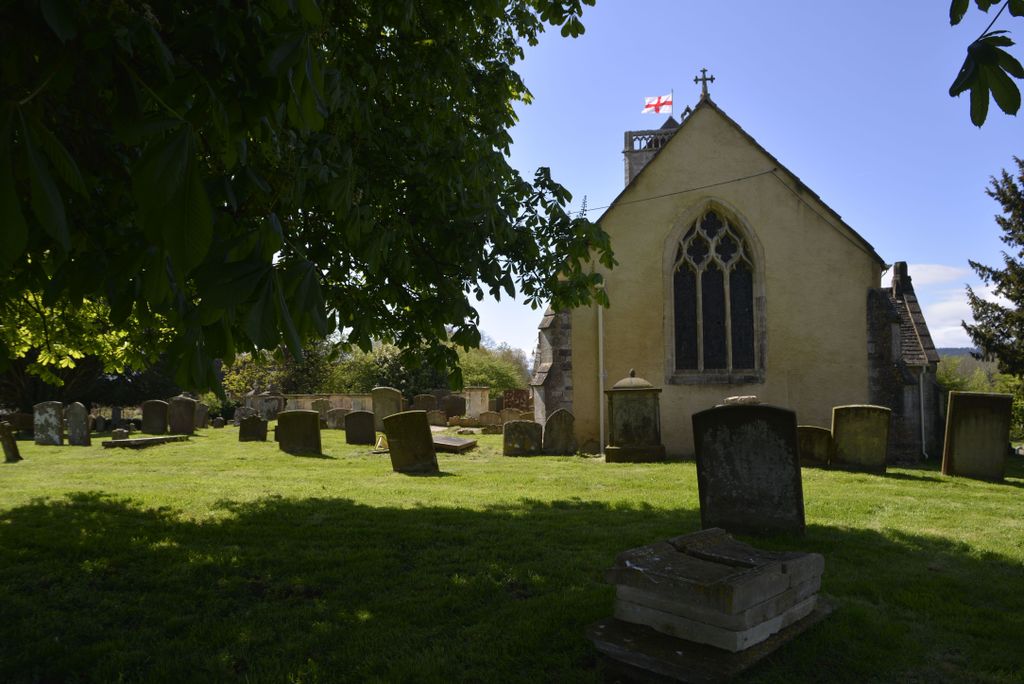
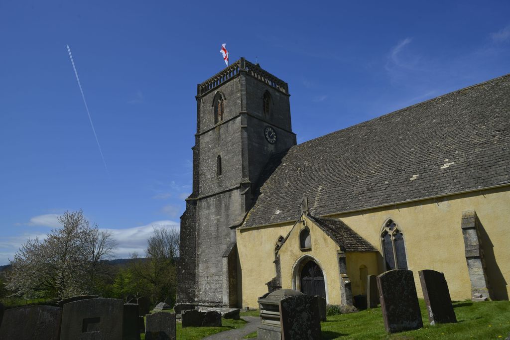
| Description | : | The present church was put up in approx 1372 and is made of the local blue lias stone. Some of which is thought to have come from the previous church built by Roger of Berkeley, date unknown but estimated to be prior to 1146. The tower though is made from Cotswold Stone. |
frequently asked questions (FAQ):
-
Where is St. Mary the Virgin Churchyard?
St. Mary the Virgin Churchyard is located at Church Road Arlingham, Stroud District ,Gloucestershire ,England.
-
St. Mary the Virgin Churchyard cemetery's updated grave count on graveviews.com?
0 memorials
-
Where are the coordinates of the St. Mary the Virgin Churchyard?
Latitude: 51.7940080
Longitude: -2.4263290
Nearby Cemetories:
1. St. Peter's Churchyard
Newnham, Forest of Dean District, England
Coordinate: 51.8015700, -2.4501300
2. St Mary the Virgin Churchyard
Fretherne, Stroud District, England
Coordinate: 51.7804140, -2.3873960
3. Saint Peter and Saint Paul Churchyard
Westbury-on-Severn, Forest of Dean District, England
Coordinate: 51.8228858, -2.4117957
4. St. Peter's Church
Stroud District, England
Coordinate: 51.7927144, -2.3752327
5. St Mary the Virgin Churchyard
Flaxley, Forest of Dean District, England
Coordinate: 51.8356600, -2.4535600
6. Flaxley Abbey
Flaxley, Forest of Dean District, England
Coordinate: 51.8362390, -2.4511420
7. All Saints Churchyard
Blakeney, Forest of Dean District, England
Coordinate: 51.7615380, -2.4765280
8. St James the Great Churchyard
Saul, Stroud District, England
Coordinate: 51.7830000, -2.3548500
9. St Mary Churchyard
Frampton-on-Severn, Stroud District, England
Coordinate: 51.7605650, -2.3730980
10. St Andrews Churchyard
Whitminster, Stroud District, England
Coordinate: 51.7798400, -2.3487000
11. St John The Evangelist Churchyard
Cinderford, Forest of Dean District, England
Coordinate: 51.8125630, -2.5050510
12. St. Laurence Churchyard
Longney, Stroud District, England
Coordinate: 51.8100627, -2.3441589
13. All Saints Churchyard
Viney Hill, Forest of Dean District, England
Coordinate: 51.7569980, -2.5017310
14. Forest of Dean Crematorium
Cinderford, Forest of Dean District, England
Coordinate: 51.8098440, -2.5259280
15. St. Stephen's Churchyard
Moreton Valence, Stroud District, England
Coordinate: 51.7857492, -2.3208765
16. St. Michael's Churchyard
Abenhall, Forest of Dean District, England
Coordinate: 51.8544700, -2.4786520
17. St. John the Evangelist Churchyard
Slimbridge, Stroud District, England
Coordinate: 51.7302510, -2.3773070
18. Holy Trinity Churchyard
Drybrook, Forest of Dean District, England
Coordinate: 51.8460500, -2.5125400
19. St John the Baptist Churchyard
Huntley, Forest of Dean District, England
Coordinate: 51.8712980, -2.4068210
20. St Nicholas Churchyard
Hardwicke, Stroud District, England
Coordinate: 51.8101200, -2.3007300
21. St. Michael and all Angels Churchyard
Mitcheldean, Forest of Dean District, England
Coordinate: 51.8646000, -2.4904000
22. St. Michael and All Angels Churchyard
Eastington, Stroud District, England
Coordinate: 51.7501680, -2.3161330
23. St. Peter's Churchyard
Minsterworth, Tewkesbury Borough, England
Coordinate: 51.8511500, -2.3307800
24. St Paul's Churchyard
Parkend, Forest of Dean District, England
Coordinate: 51.7659090, -2.5521630

