
| Memorials | : | 3 |
| Location | : | Hathersage, Derbyshire Dales District, England |
| Coordinate | : | 53.3330570, -1.6501020 |
frequently asked questions (FAQ):
-
Where is St Michael and All Angels Churchyard?
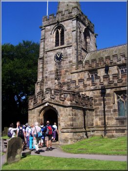
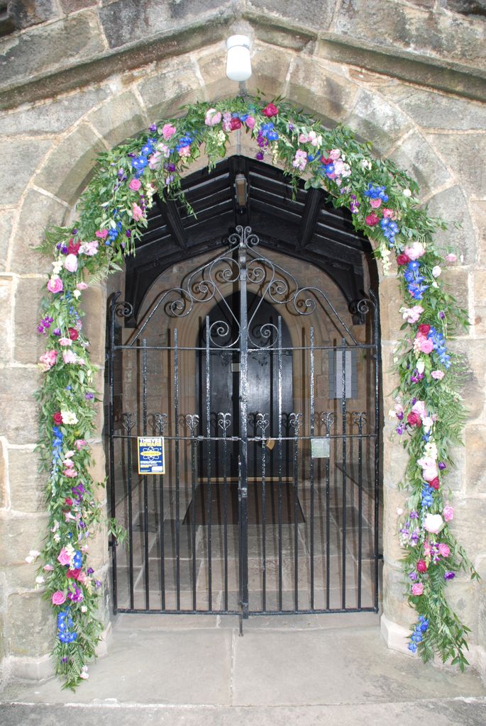
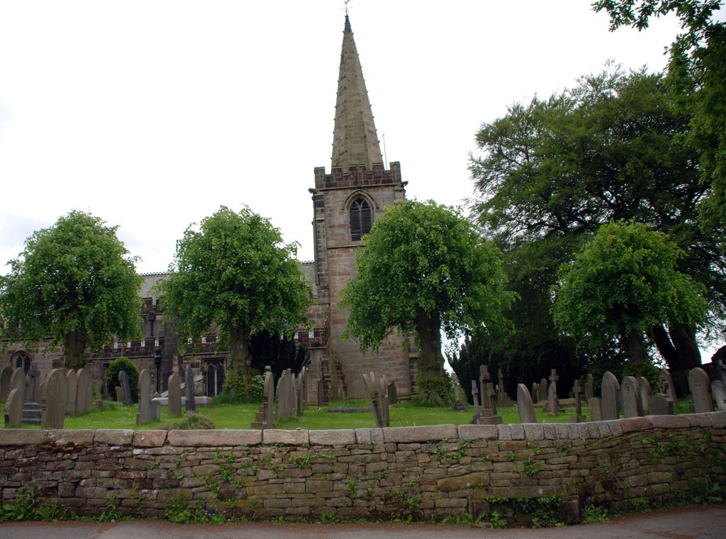
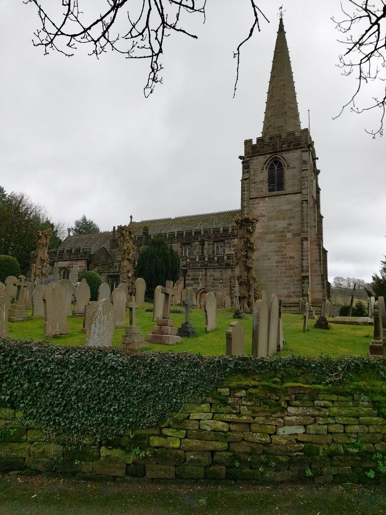
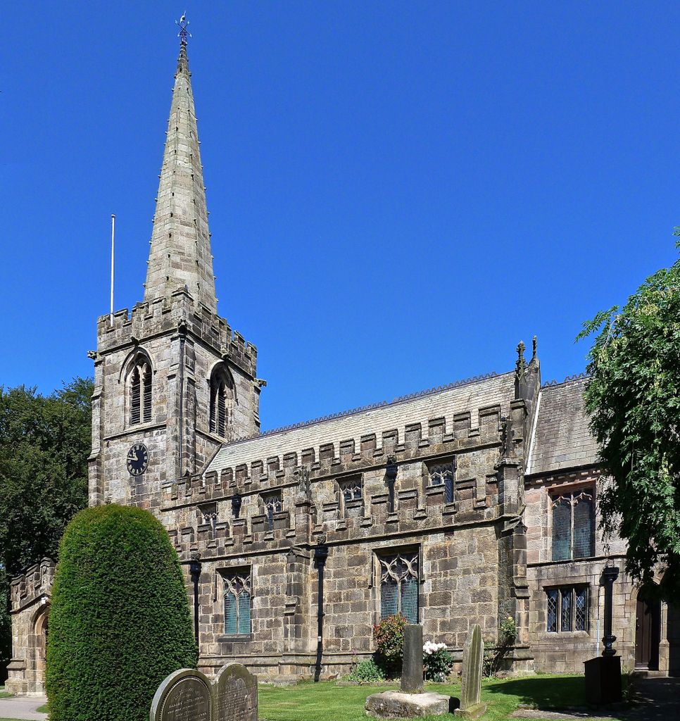
St Michael and All Angels Churchyard is located at Church Bank Hathersage, Derbyshire Dales District ,Derbyshire , S32 1AJEngland.
-
St Michael and All Angels Churchyard cemetery's updated grave count on graveviews.com?
0 memorials
-
Where are the coordinates of the St Michael and All Angels Churchyard?
Latitude: 53.3330570
Longitude: -1.6501020
Nearby Cemetories:
1. St. John the Baptist Churchyard
Bamford, High Peak Borough, England
Coordinate: 53.3468590, -1.6896950
2. Our Lady of Sorrows RC Churchyard
Bamford, High Peak Borough, England
Coordinate: 53.3509230, -1.6915140
3. Thornhill Methodist Churchyard
Thornhill, High Peak Borough, England
Coordinate: 53.3481140, -1.7042620
4. St. Helen's Churchyard
Grindleford, Derbyshire Dales District, England
Coordinate: 53.2975200, -1.6322900
5. Hamlet of Bretton
Eyam, Derbyshire Dales District, England
Coordinate: 53.2979962, -1.7008309
6. Riley Farm
Eyam, Derbyshire Dales District, England
Coordinate: 53.2857957, -1.6636787
7. Riley Graves
Eyam, Derbyshire Dales District, England
Coordinate: 53.2839200, -1.6586665
8. Eyam Village
Eyam, Derbyshire Dales District, England
Coordinate: 53.2843748, -1.6717200
9. St. Lawrence's Churchyard
Eyam, Derbyshire Dales District, England
Coordinate: 53.2842751, -1.6749160
10. St Barnabas Churchyard
Bradwell, Derbyshire Dales District, England
Coordinate: 53.3263560, -1.7387040
11. Bethlehem Churchyard
Bradwell, Derbyshire Dales District, England
Coordinate: 53.3277120, -1.7417070
12. Methodist Chapel Graveyard
Bradwell, Derbyshire Dales District, England
Coordinate: 53.3264690, -1.7417860
13. St Peter's Churchyard
Hope, High Peak Borough, England
Coordinate: 53.3476570, -1.7424920
14. St Martin
Stoney Middleton, Derbyshire Dales District, England
Coordinate: 53.2758020, -1.6542840
15. Hope Cemetery
Hope, High Peak Borough, England
Coordinate: 53.3523100, -1.7418640
16. Methodist Churchyard
Great Hucklow, Derbyshire Dales District, England
Coordinate: 53.2970009, -1.7330000
17. Christ Churchyard
Dore, Metropolitan Borough of Sheffield, England
Coordinate: 53.3255190, -1.5398230
18. All Saints Churchyard
Calver, Derbyshire Dales District, England
Coordinate: 53.2660740, -1.6303850
19. Christ Church Churchyard
Fulwood, Metropolitan Borough of Sheffield, England
Coordinate: 53.3650063, -1.5426844
20. Trot Lane Private Cemetery
Foolow, Derbyshire Dales District, England
Coordinate: 53.2872651, -1.7434660
21. Derwent Woodlands Churchyard
Derwent and Hope Woodlands, High Peak Borough, England
Coordinate: 53.3932000, -1.7239000
22. St. Edmund's Churchyard
Castleton, High Peak Borough, England
Coordinate: 53.3428300, -1.7758600
23. The Good Shepherd Churchyard
Wardlow, Derbyshire Dales District, England
Coordinate: 53.2693970, -1.7294140
24. Stannington Unitarian Chapel
Stannington, Metropolitan Borough of Sheffield, England
Coordinate: 53.3941350, -1.5556060