| Memorials | : | 0 |
| Location | : | Eyam, Derbyshire Dales District, England |
| Coordinate | : | 53.2842751, -1.6749160 |
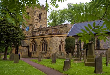
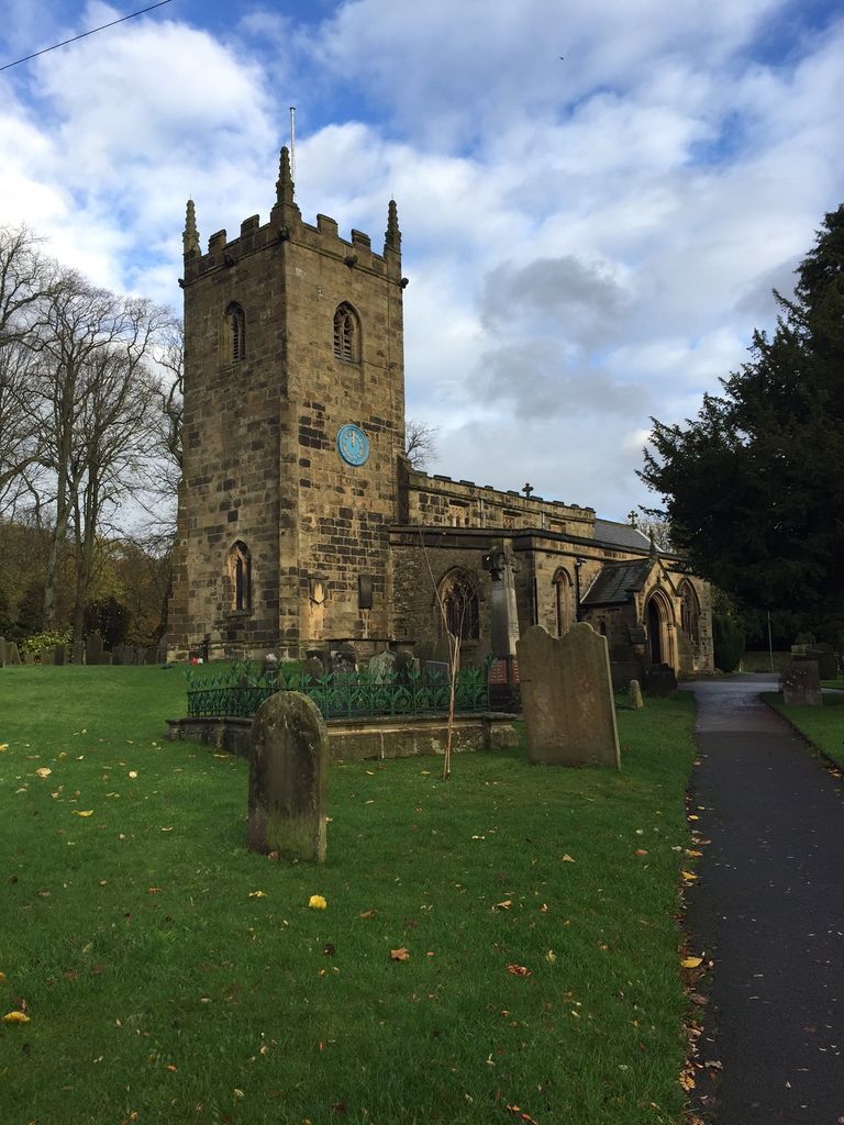
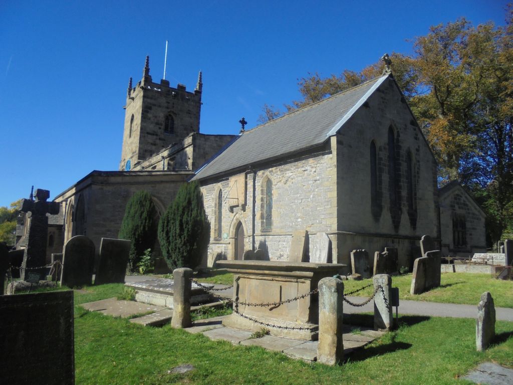
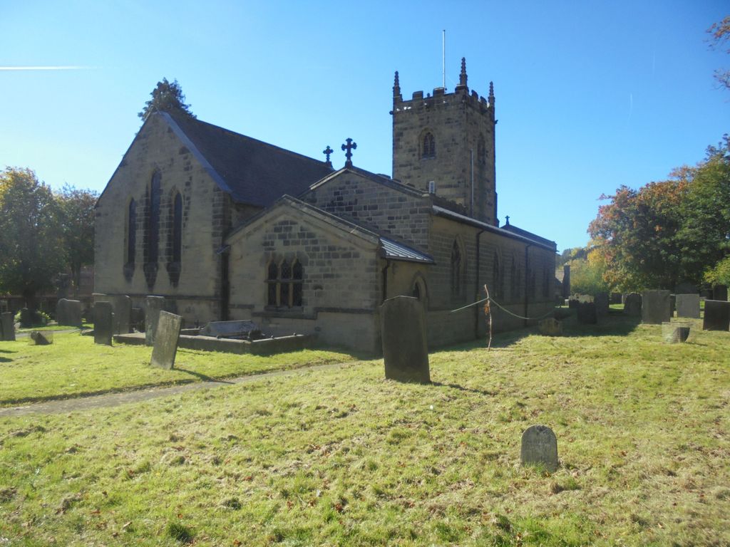
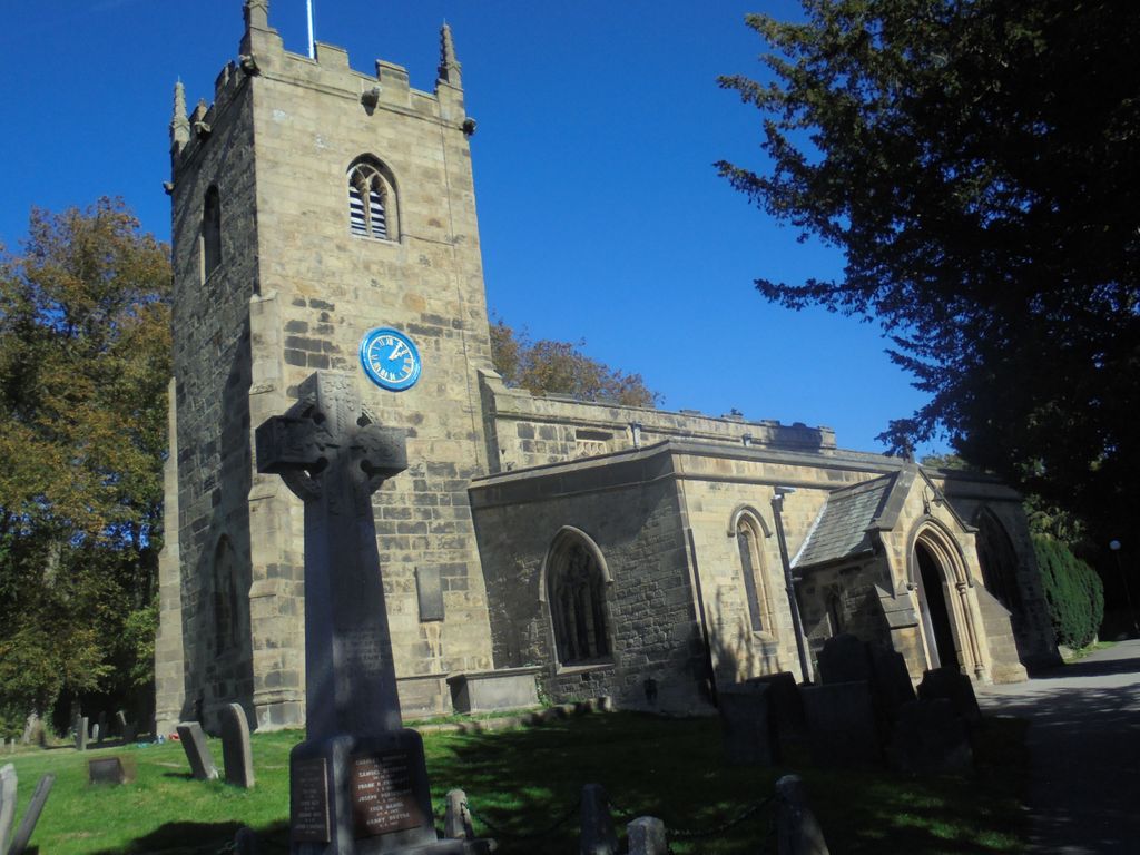
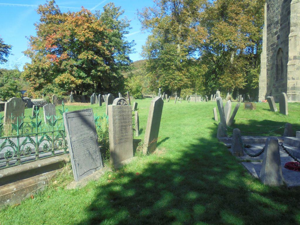
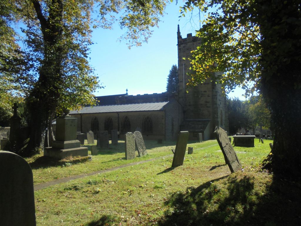
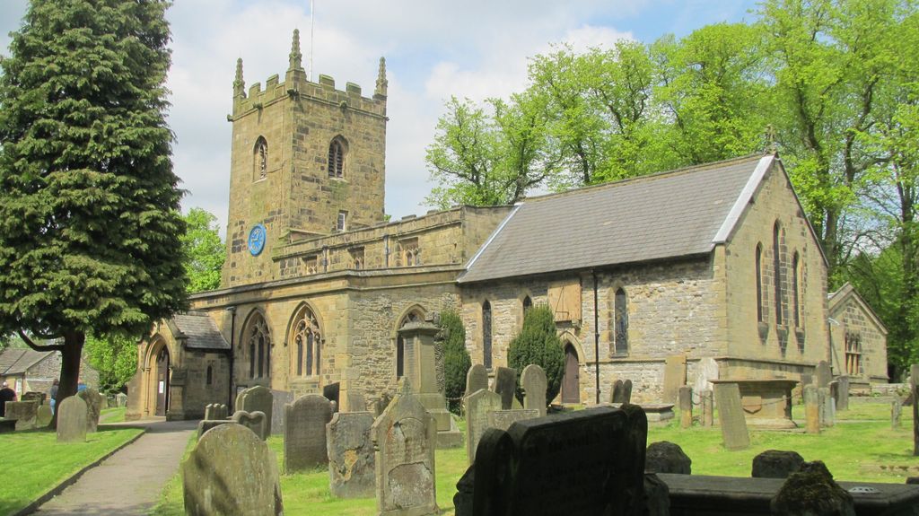
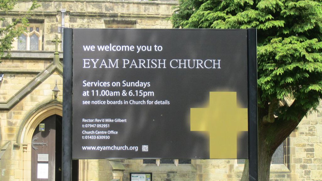
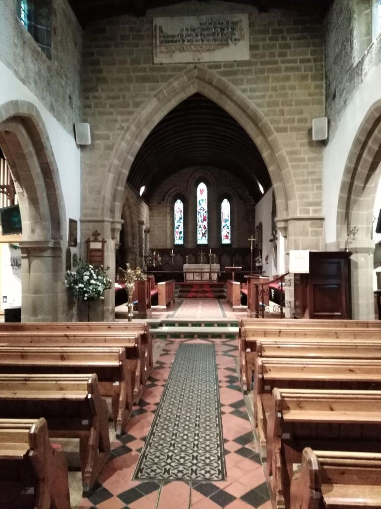
| Description | : | St Lawrence's church stands in the centre of the 'Plague Village' of Eyam, and boasts a Saxon churchyard cross, a Norman font, and a series of 18th-century wall paintings. The church is medieval with elements from the 13th and 15th centuries. It was partially rebuilt in 1619 and restored in 1868–70 by George Edmund Street. A modern stained-glass window commemorates the 260 victims of the ‘black death’ who died in Eyam 1665 - 66. William Mompesson, the Rector at that time, supported by Thomas Stanley, the former incumbent, organized a strict quarantine (a cordon sanitaire) to prevent the spread of... Read More |
frequently asked questions (FAQ):
-
Where is St. Lawrence's Churchyard?
St. Lawrence's Churchyard is located at Eyam, Derbyshire Dales District ,Derbyshire ,England.
-
St. Lawrence's Churchyard cemetery's updated grave count on graveviews.com?
0 memorials
-
Where are the coordinates of the St. Lawrence's Churchyard?
Latitude: 53.2842751
Longitude: -1.6749160
Nearby Cemetories:
1. Eyam Village
Eyam, Derbyshire Dales District, England
Coordinate: 53.2843748, -1.6717200
2. Riley Farm
Eyam, Derbyshire Dales District, England
Coordinate: 53.2857957, -1.6636787
3. Riley Graves
Eyam, Derbyshire Dales District, England
Coordinate: 53.2839200, -1.6586665
4. St Martin
Stoney Middleton, Derbyshire Dales District, England
Coordinate: 53.2758020, -1.6542840
5. Hamlet of Bretton
Eyam, Derbyshire Dales District, England
Coordinate: 53.2979962, -1.7008309
6. St. Helen's Churchyard
Grindleford, Derbyshire Dales District, England
Coordinate: 53.2975200, -1.6322900
7. All Saints Churchyard
Calver, Derbyshire Dales District, England
Coordinate: 53.2660740, -1.6303850
8. The Good Shepherd Churchyard
Wardlow, Derbyshire Dales District, England
Coordinate: 53.2693970, -1.7294140
9. Methodist Churchyard
Great Hucklow, Derbyshire Dales District, England
Coordinate: 53.2970009, -1.7330000
10. Trot Lane Private Cemetery
Foolow, Derbyshire Dales District, England
Coordinate: 53.2872651, -1.7434660
11. Saint Giles Churchyard
Great Longstone, Derbyshire Dales District, England
Coordinate: 53.2432100, -1.7009100
12. St. Anne Churchyard
Baslow, Derbyshire Dales District, England
Coordinate: 53.2473740, -1.6241110
13. Little Longstone Chapel
Little Longstone, Derbyshire Dales District, England
Coordinate: 53.2413241, -1.7203296
14. St Michael and All Angels Churchyard
Hathersage, Derbyshire Dales District, England
Coordinate: 53.3330570, -1.6501020
15. Litton Cemetery
Litton, Derbyshire Dales District, England
Coordinate: 53.2654380, -1.7573610
16. Tideswell Parish Council Cemetery
Tideswell, Derbyshire Dales District, England
Coordinate: 53.2846630, -1.7639730
17. St Barnabas Churchyard
Bradwell, Derbyshire Dales District, England
Coordinate: 53.3263560, -1.7387040
18. Methodist Chapel Graveyard
Bradwell, Derbyshire Dales District, England
Coordinate: 53.3264690, -1.7417860
19. St John the Baptist Tideswell
Tideswell, Derbyshire Dales District, England
Coordinate: 53.2785640, -1.7728500
20. Bethlehem Churchyard
Bradwell, Derbyshire Dales District, England
Coordinate: 53.3277120, -1.7417070
21. Immaculate Heart of Mary, Roman Catholic Chapel
Tideswell, Derbyshire Dales District, England
Coordinate: 53.2761640, -1.7741580
22. St. John the Baptist Churchyard
Bamford, High Peak Borough, England
Coordinate: 53.3468590, -1.6896950
23. Holy Trinity Churchyard
Ashford-in-the-Water, Derbyshire Dales District, England
Coordinate: 53.2241640, -1.7093610
24. St. Peter's Churchyard
Edensor, Derbyshire Dales District, England
Coordinate: 53.2255530, -1.6260190

