
| Memorials | : | 60 |
| Location | : | Tirley, Tewkesbury Borough, England |
| Coordinate | : | 51.9552600, -2.2341600 |
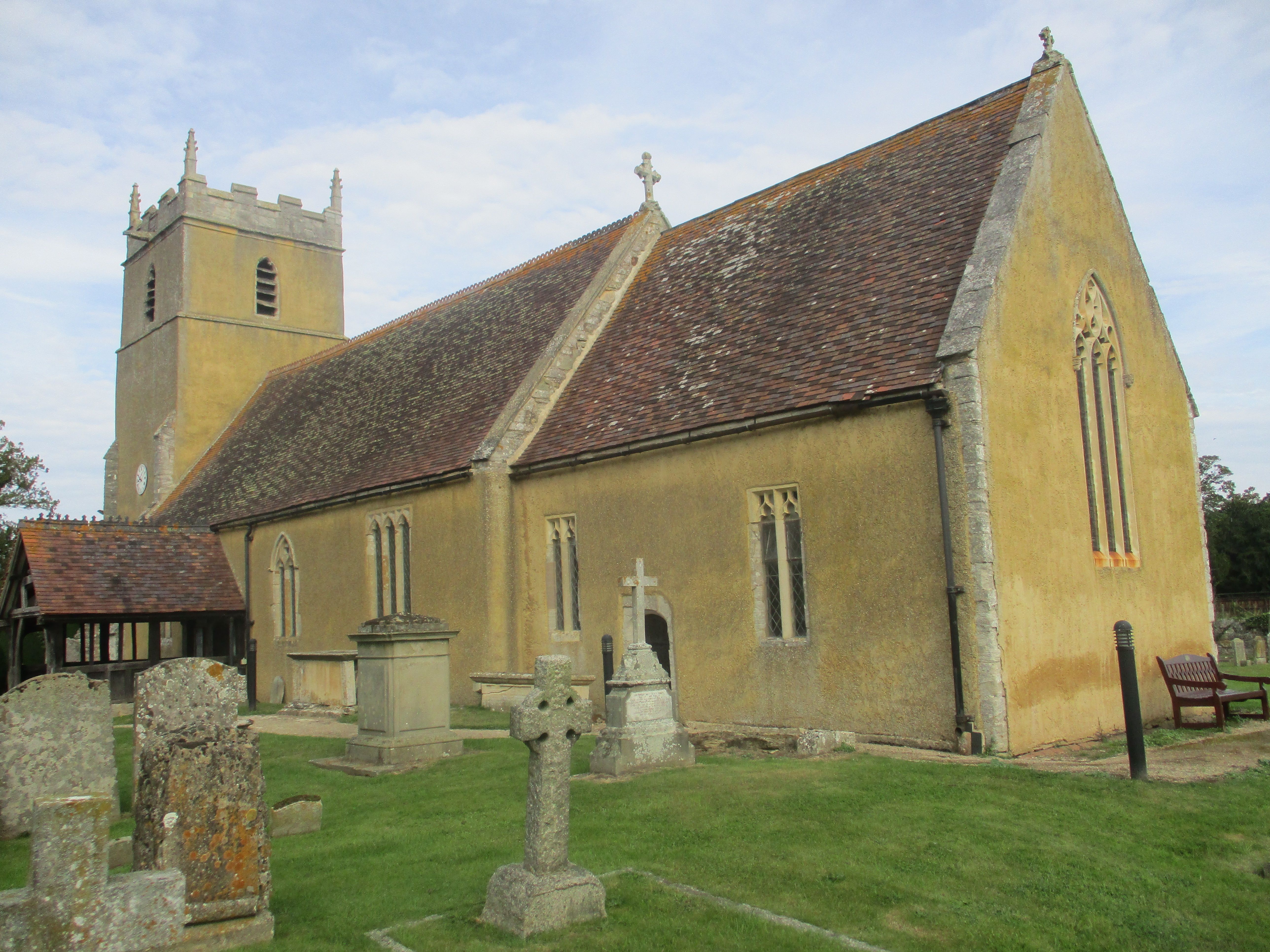
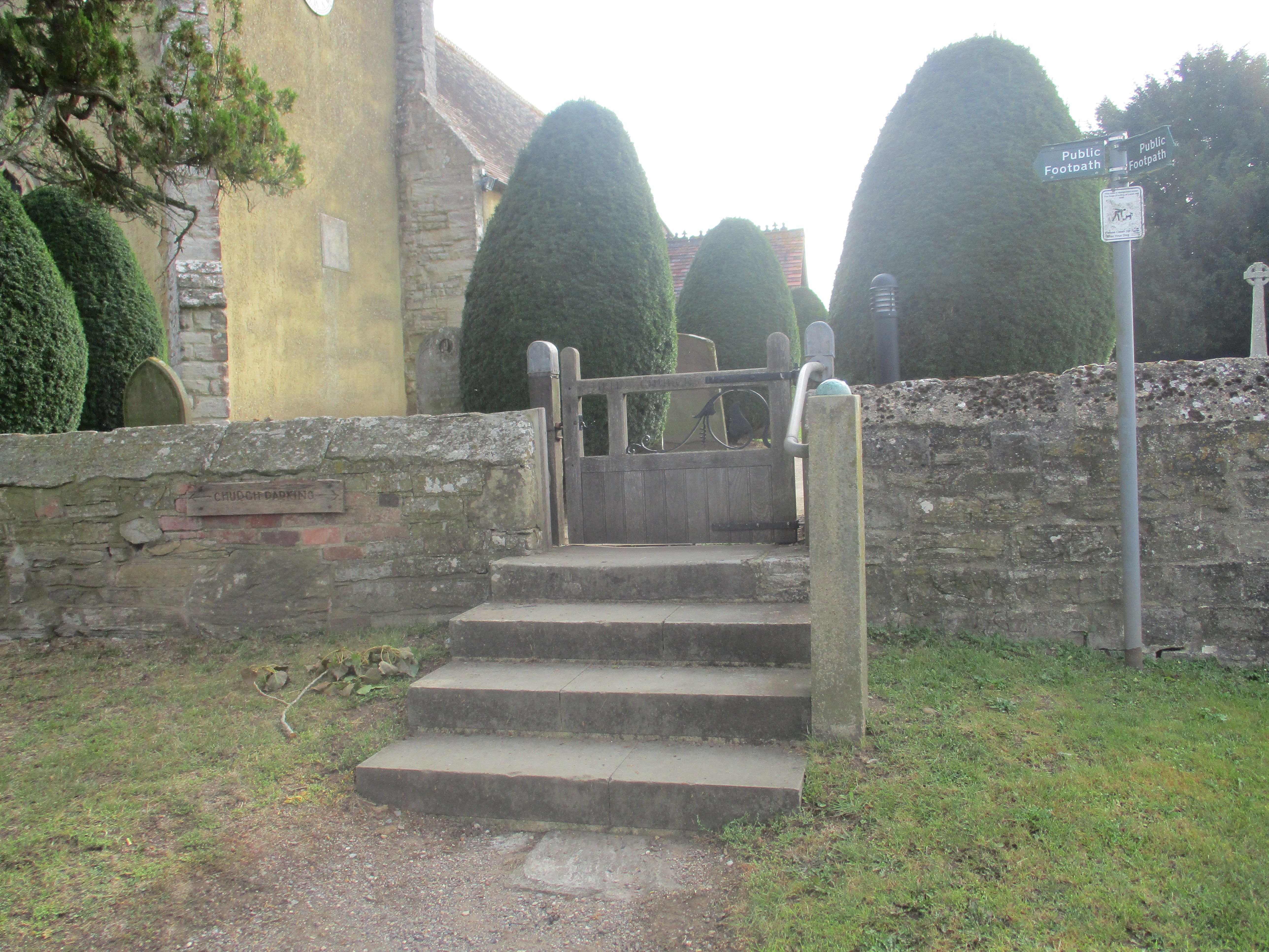
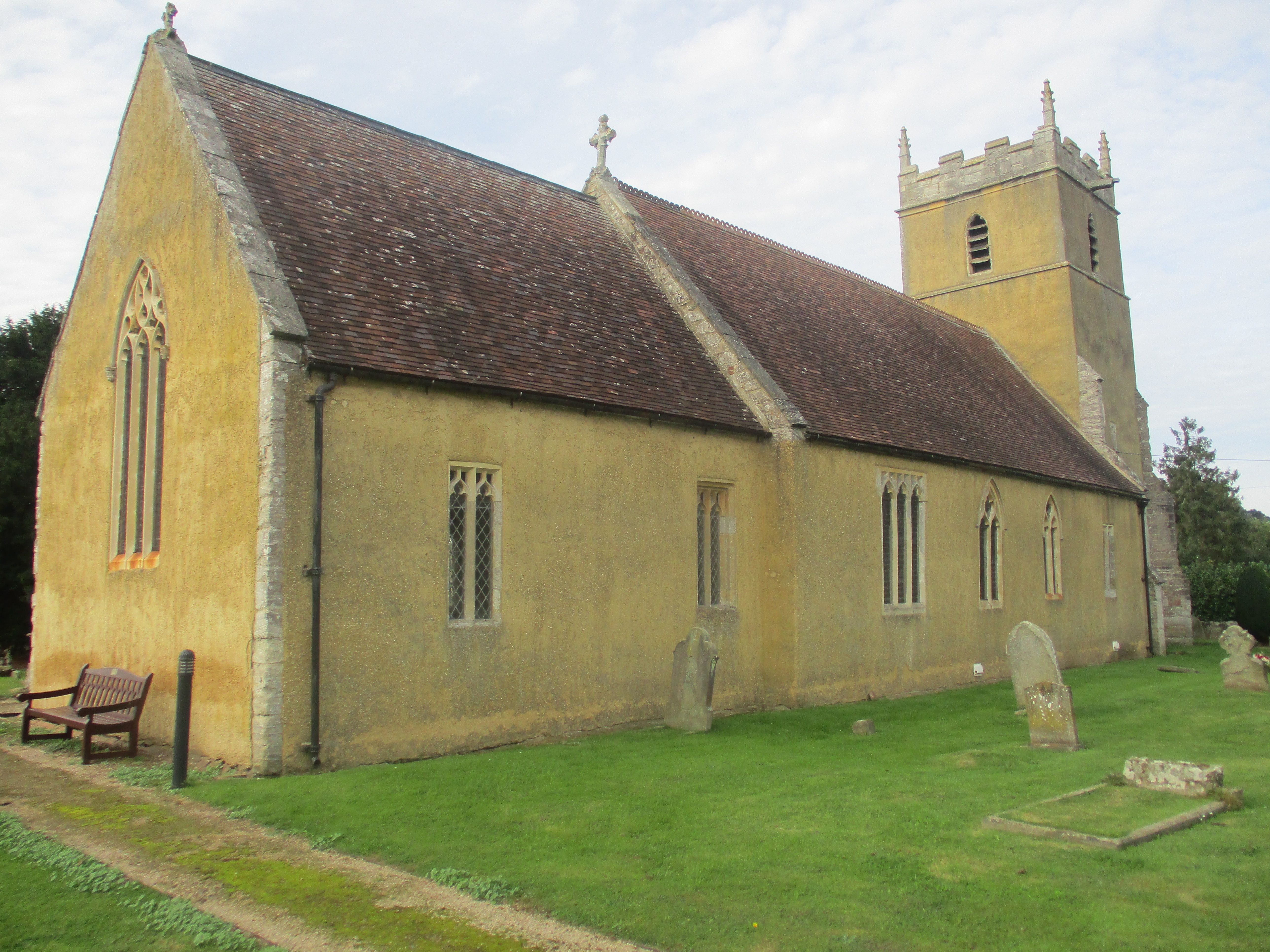
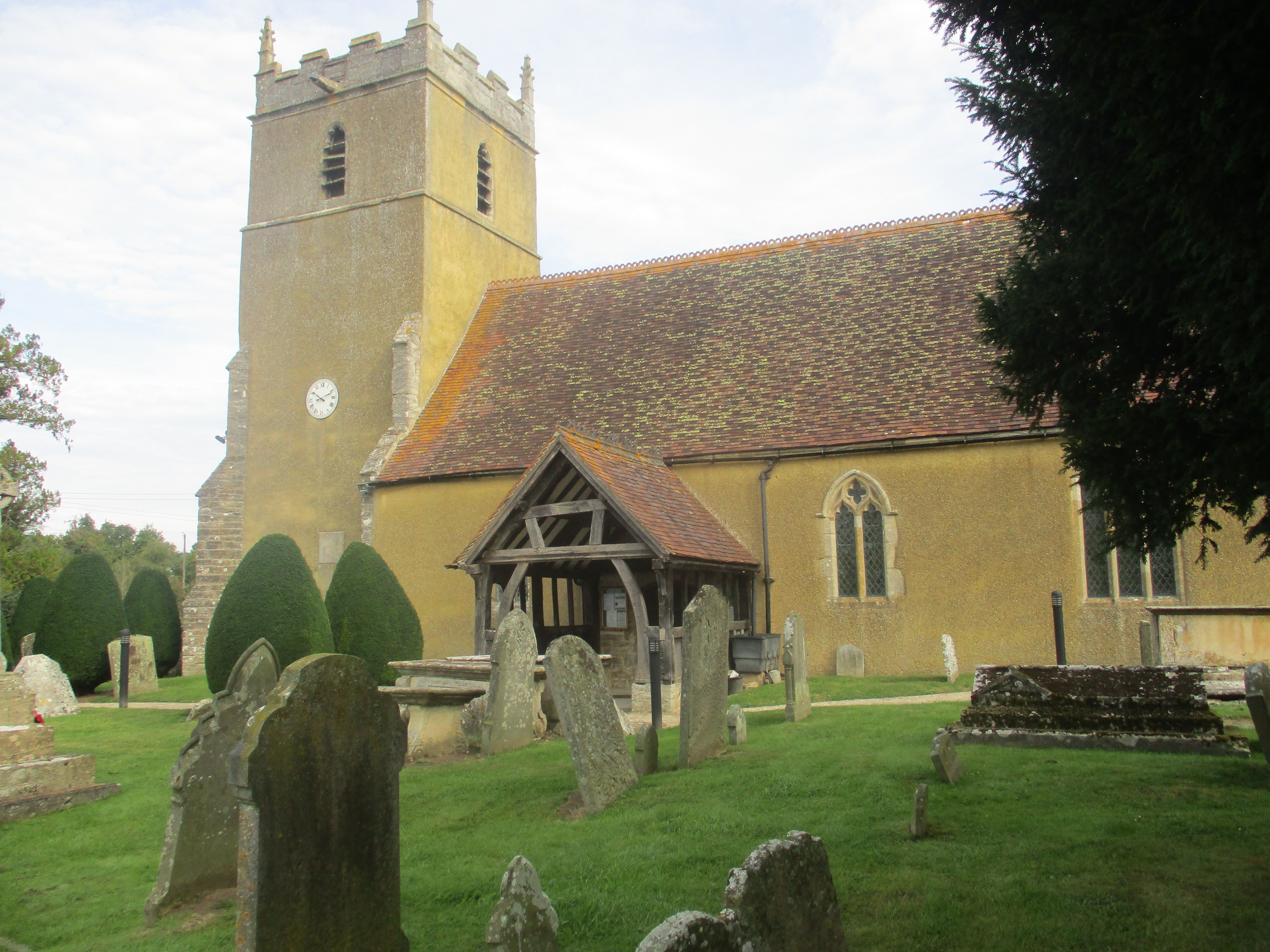
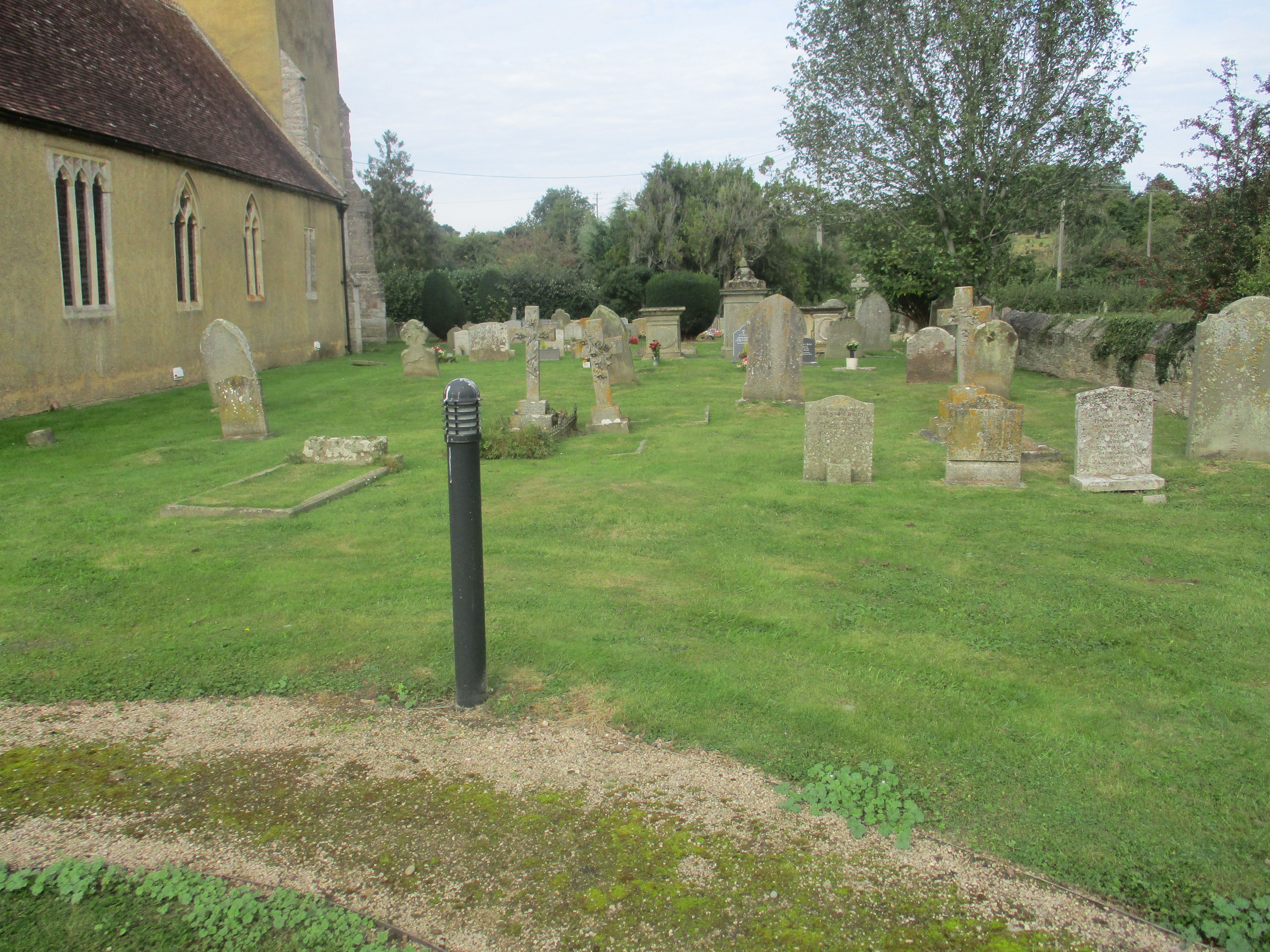
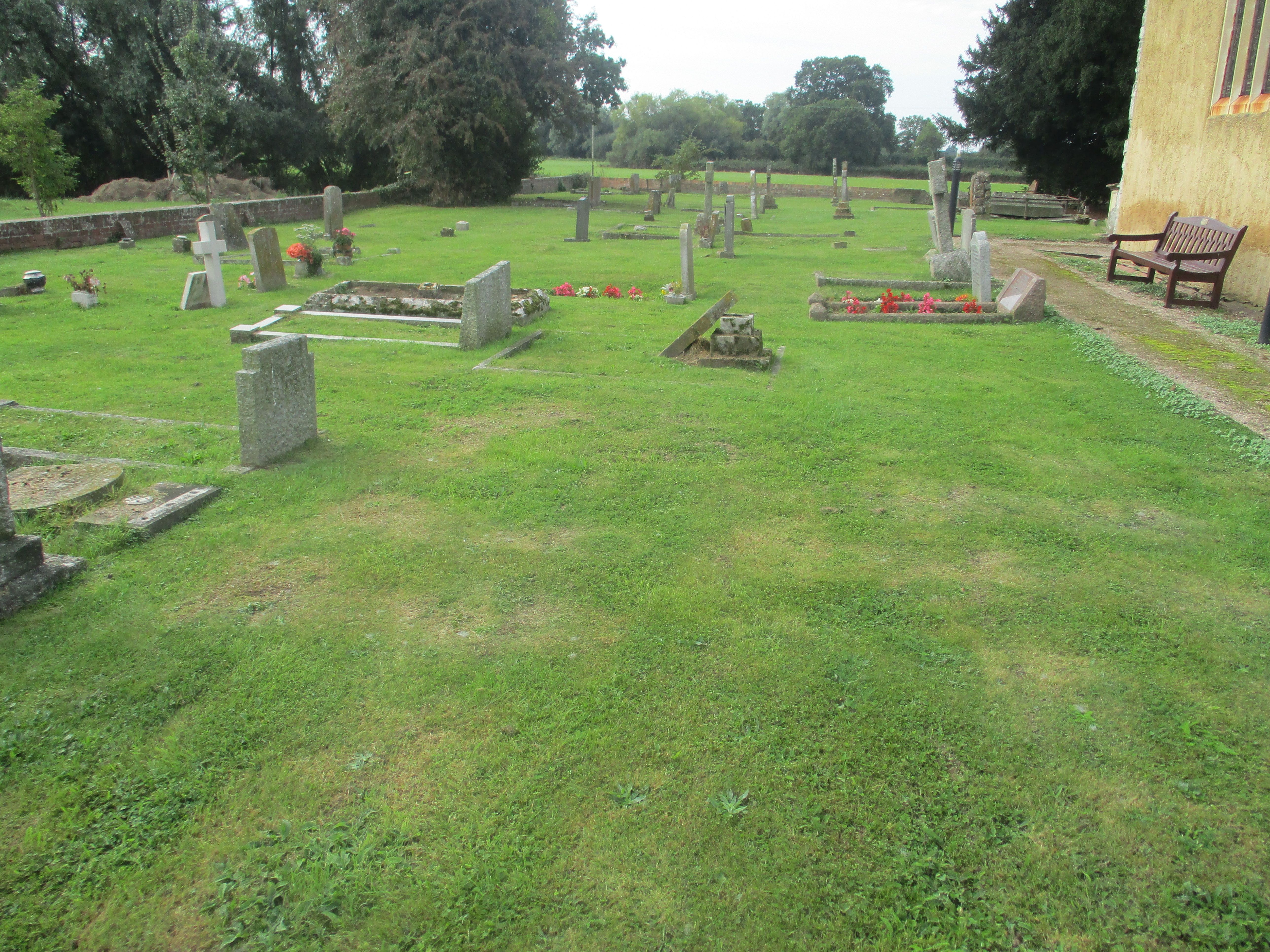
| Description | : | St Michael and All Angels Church is 14th century Grade 1 Listed and has a number of historical features. The tower houses a peal of six bells. As a result of severe flooding in 2007, the church was severely damaged. Now fully restored and reߚordered, access for people with disabilities is easier, seating is flexible and the enlarged chancel provides space for a nave altar. The church is now used not only for worship but also for community use. |
frequently asked questions (FAQ):
-
Where is St. Michael and All Angels Churchyard?
St. Michael and All Angels Churchyard is located at Tirley, Tewkesbury Borough ,Gloucestershire ,England.
-
St. Michael and All Angels Churchyard cemetery's updated grave count on graveviews.com?
60 memorials
-
Where are the coordinates of the St. Michael and All Angels Churchyard?
Latitude: 51.9552600
Longitude: -2.2341600
Nearby Cemetories:
1. Holy Trinity Churchyard
Apperley, Tewkesbury Borough, England
Coordinate: 51.9510043, -2.2029317
2. St. Mary's Churchyard
Deerhurst, Tewkesbury Borough, England
Coordinate: 51.9679540, -2.1899710
3. St Catherines Churchyard
Leigh, Tewkesbury Borough, England
Coordinate: 51.9301080, -2.1966690
4. St. Mary the Virgin Churchyard
Forthampton, Tewkesbury Borough, England
Coordinate: 51.9912630, -2.2072860
5. Coombe Hill Methodist Church
Leigh, Tewkesbury Borough, England
Coordinate: 51.9438860, -2.1631660
6. St Lawrence Churchyard
Sandhurst, Tewkesbury Borough, England
Coordinate: 51.9083260, -2.2489570
7. Hartpury Methodist Churchyard
Hartpury, Forest of Dean District, England
Coordinate: 51.9196444, -2.2883000
8. Pendock Old Church
Pendock, Malvern Hills District, England
Coordinate: 52.0014720, -2.2679110
9. Pendock Churchyard
Pendock, Malvern Hills District, England
Coordinate: 52.0015108, -2.2678653
10. Tewkesbury Cemetery
Tewkesbury, Tewkesbury Borough, England
Coordinate: 51.9862920, -2.1607700
11. Tewkesbury Abbey
Tewkesbury, Tewkesbury Borough, England
Coordinate: 51.9902520, -2.1604280
12. Baptist Burial Ground 1655
Tewkesbury, Tewkesbury Borough, England
Coordinate: 51.9915680, -2.1614440
13. St Peters Churchyard
Bushley, Malvern Hills District, England
Coordinate: 52.0076000, -2.1834000
14. St. Matthew's Cemetery
Twigworth, Tewkesbury Borough, England
Coordinate: 51.8936090, -2.2307820
15. St. Mary the Virgin Churchyard
Upleadon, Forest of Dean District, England
Coordinate: 51.9406240, -2.3378190
16. St Faith Churchyard
Berrow, Malvern Hills District, England
Coordinate: 52.0065770, -2.3018720
17. St. Giles Churchyard
Maisemore, Tewkesbury Borough, England
Coordinate: 51.8931690, -2.2719540
18. St. Mary the Virgin Churchyard
Hartpury, Forest of Dean District, England
Coordinate: 51.9110277, -2.3204027
19. St. Mary's Churchyard
Longdon, Malvern Hills District, England
Coordinate: 52.0244900, -2.2370600
20. Stoke Orchard Cemetery
Stoke Orchard, Tewkesbury Borough, England
Coordinate: 51.9522350, -2.1212140
21. St. Peter and St. Paul Churchyard
Birtsmorton, Malvern Hills District, England
Coordinate: 52.0176100, -2.2912600
22. St Nicholas Churchyard
Queenhill, Malvern Hills District, England
Coordinate: 52.0280900, -2.2044100
23. St. Oswald Churchyard
Lassington, Tewkesbury Borough, England
Coordinate: 51.8884700, -2.2978000
24. St. Mary the Virgin Cemetery
Rudford, Forest of Dean District, England
Coordinate: 51.8936272, -2.3213976