
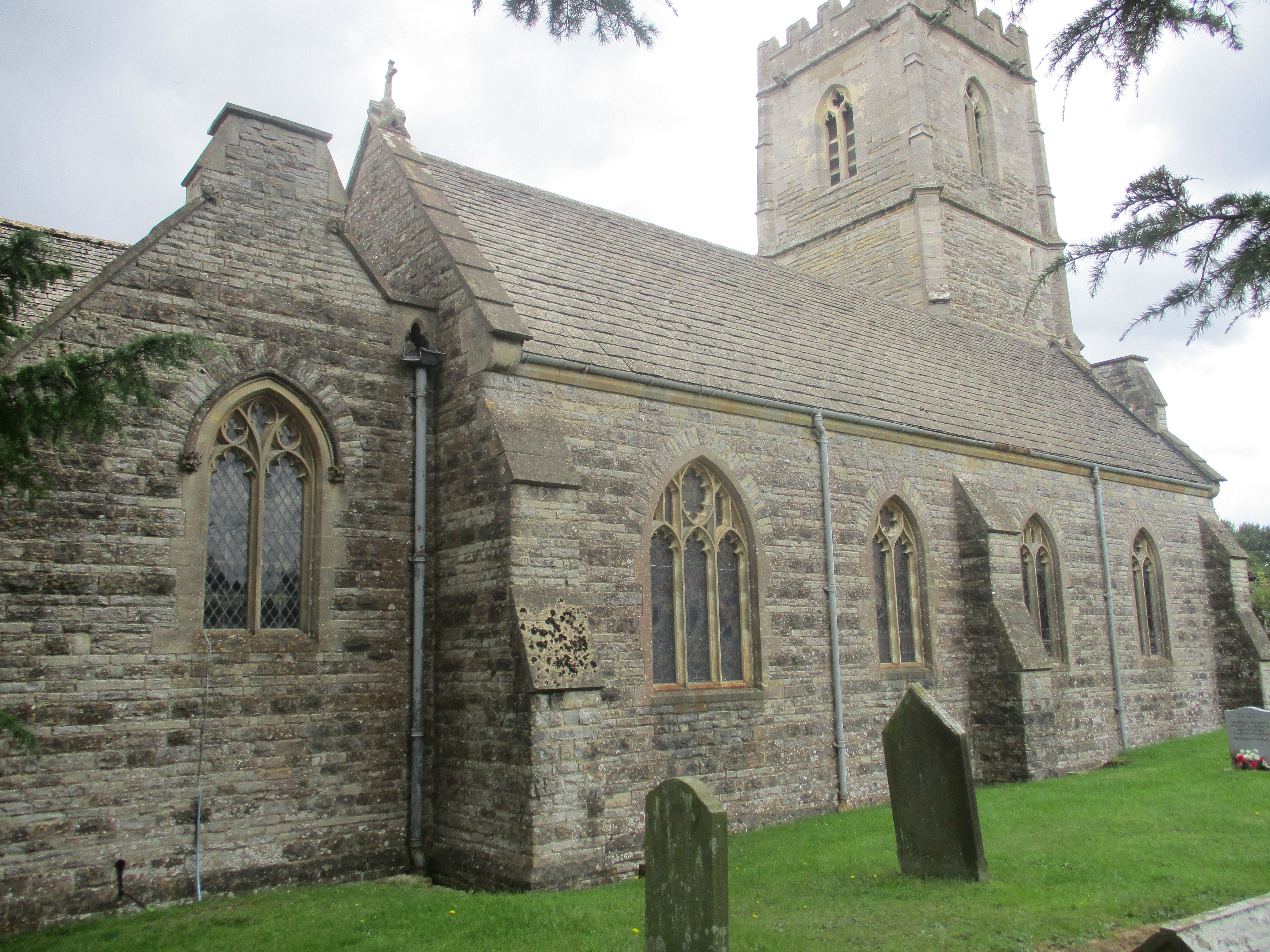
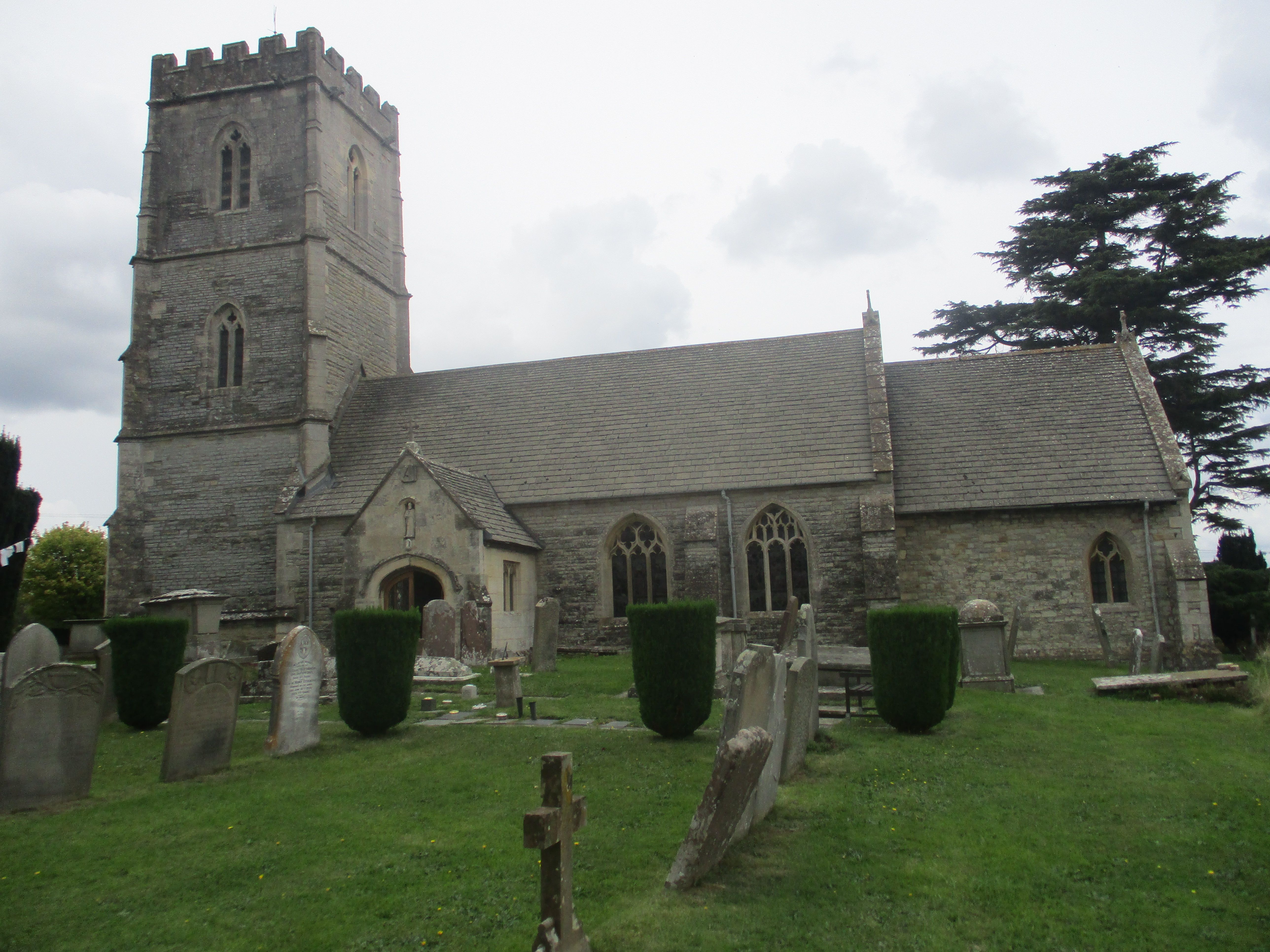
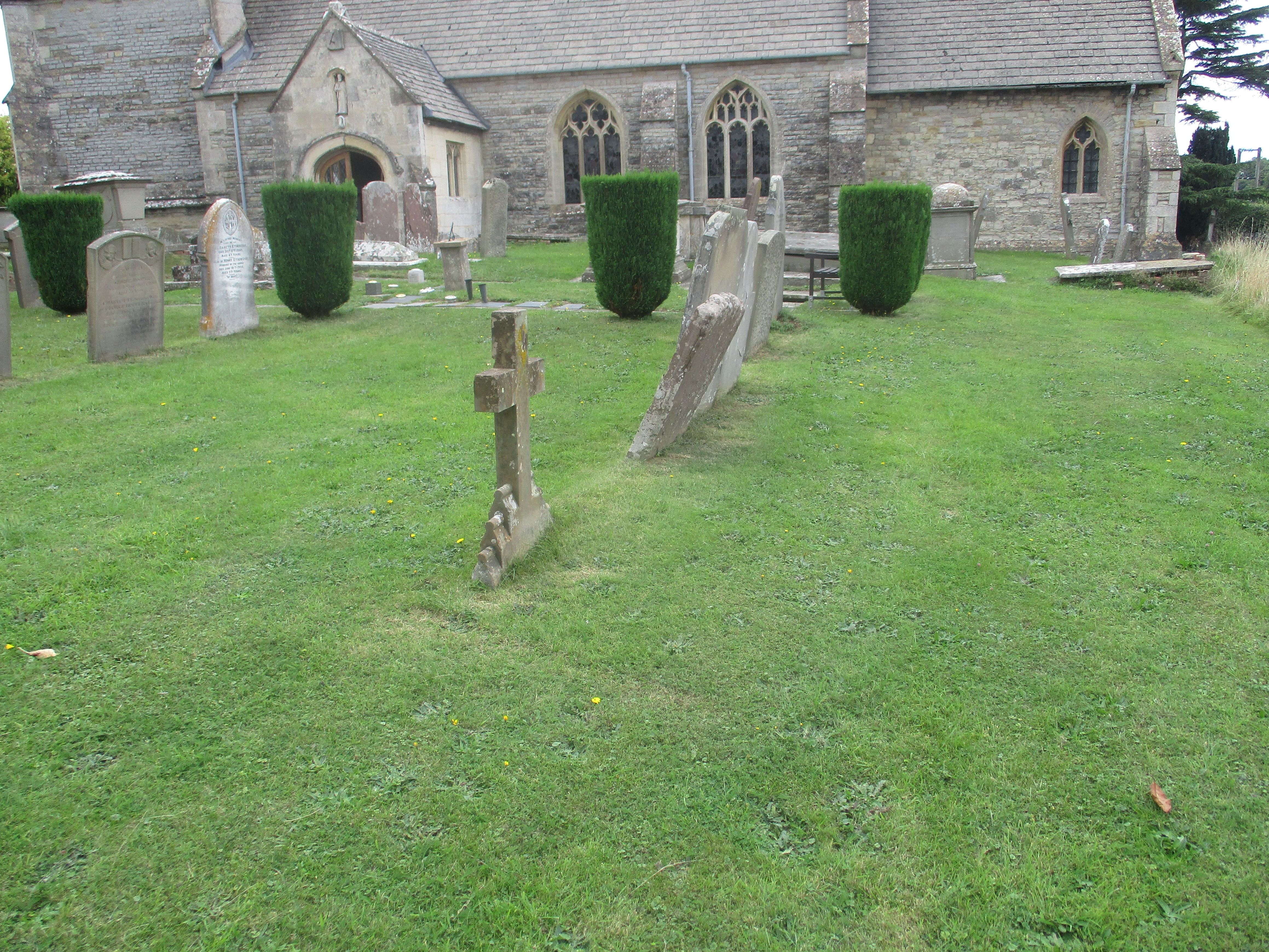
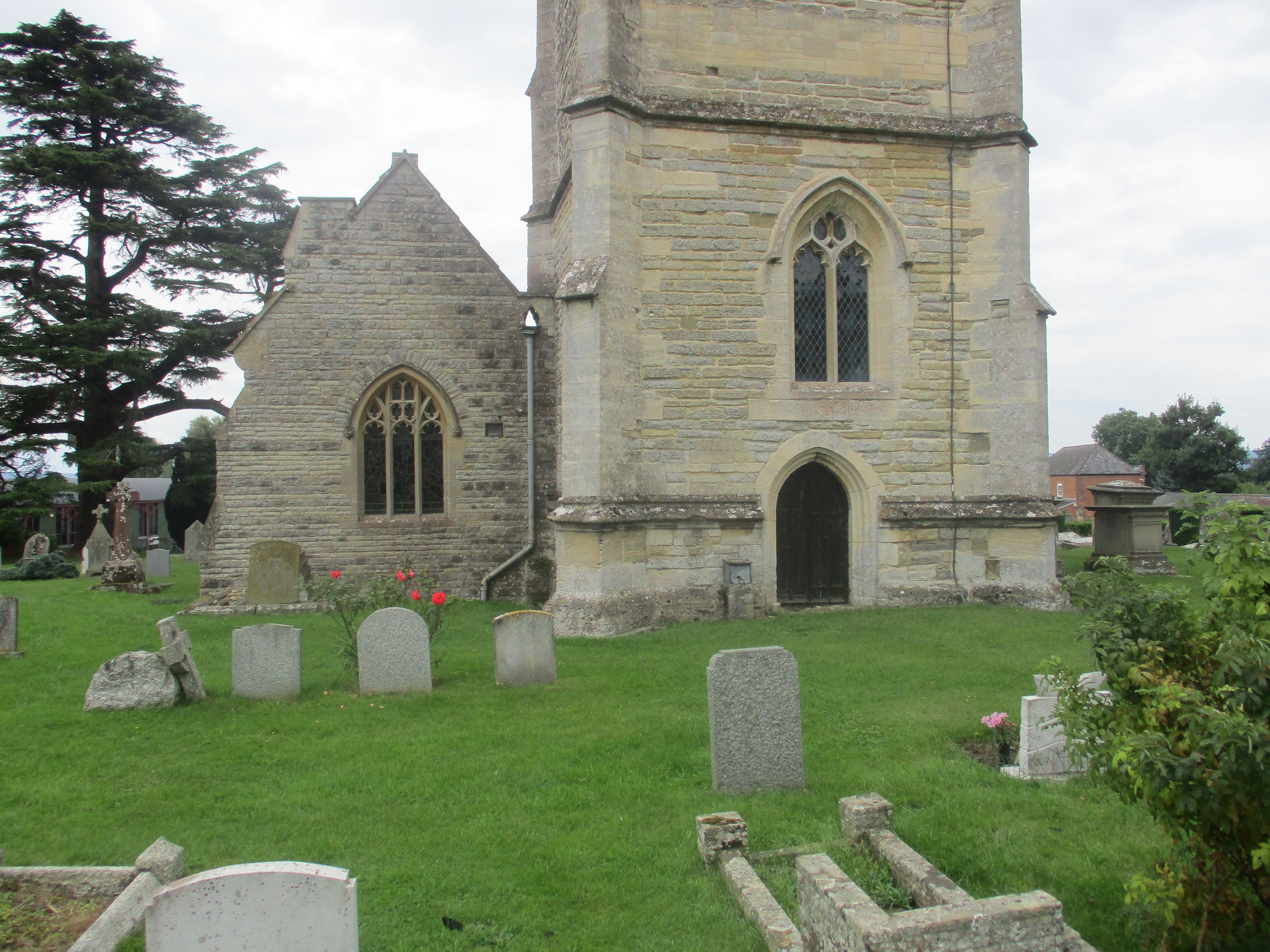
| Memorials | : | 139 |
| Location | : | Maisemore, Tewkesbury Borough, England |
| Coordinate | : | 51.8931690, -2.2719540 |
frequently asked questions (FAQ):
-
Where is St. Giles Churchyard?
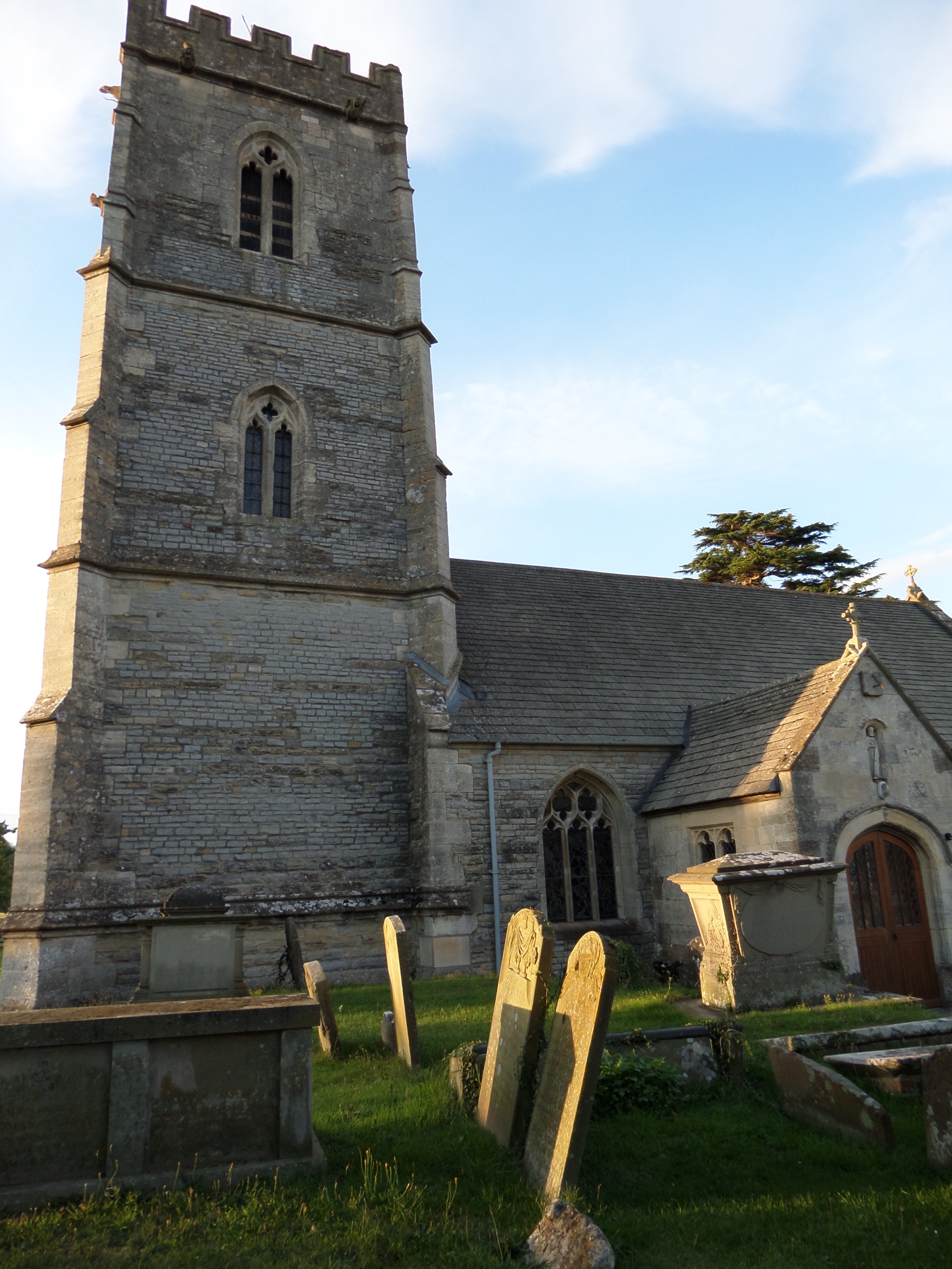
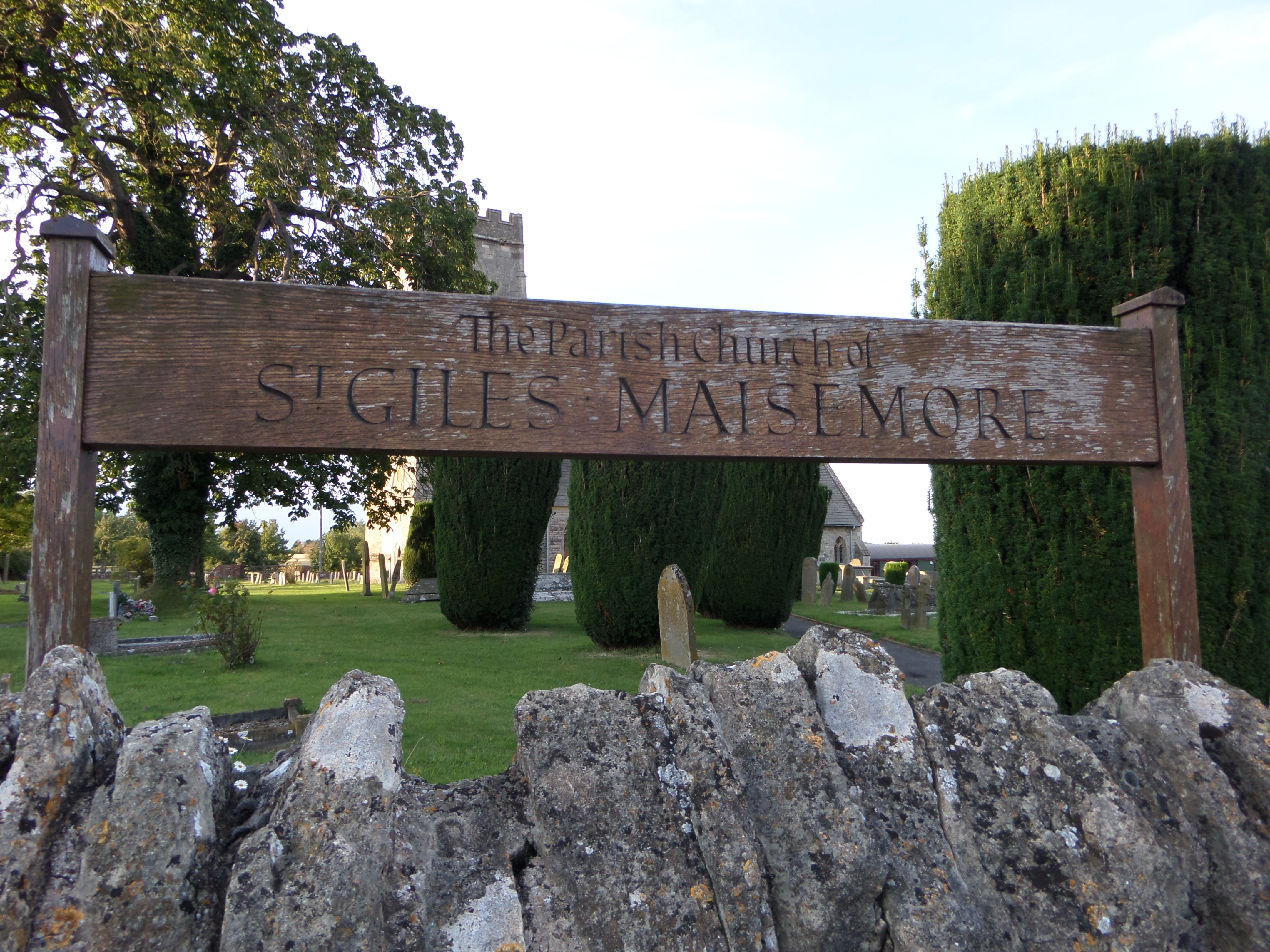
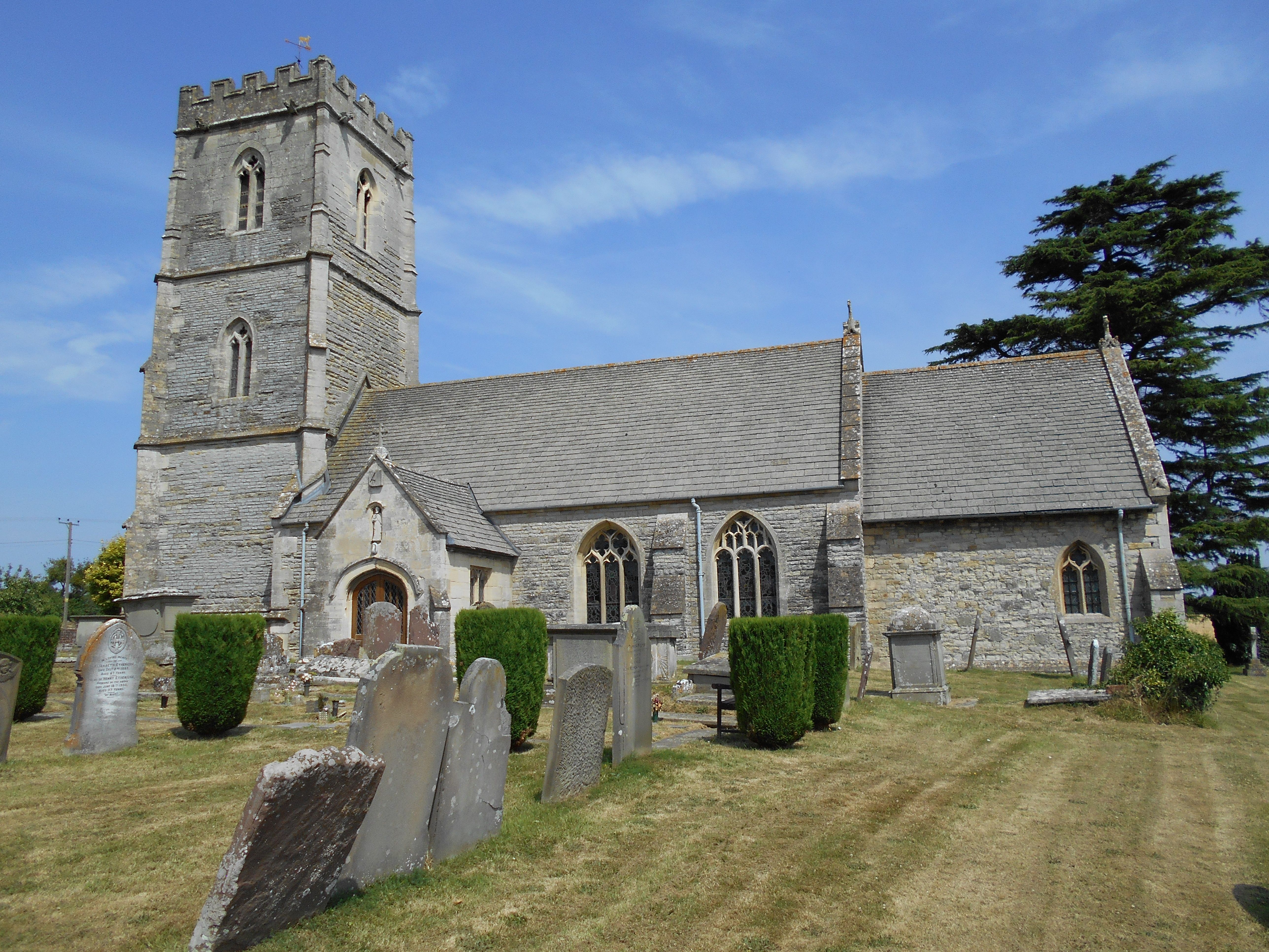
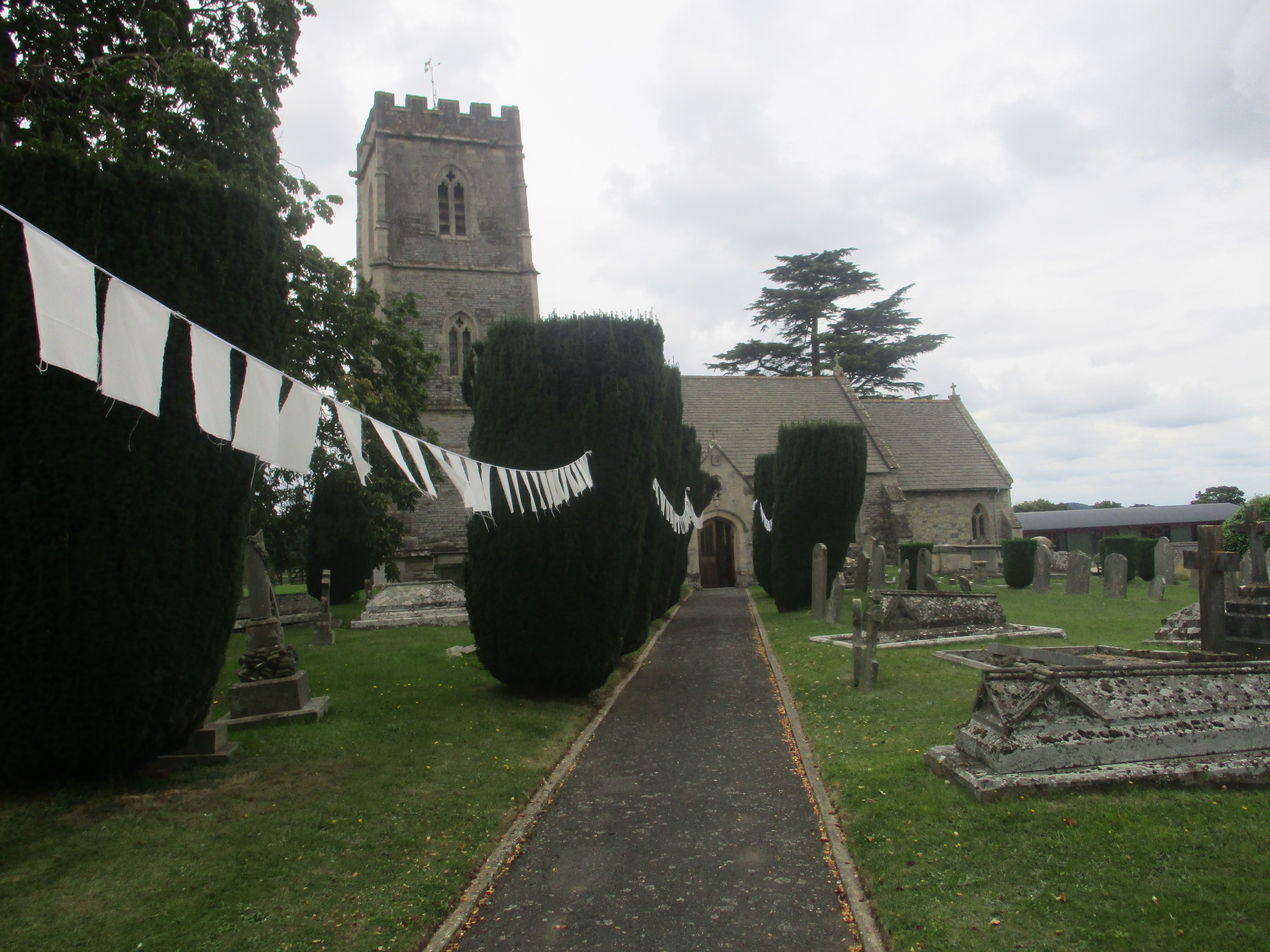
St. Giles Churchyard is located at Maisemore, Tewkesbury Borough ,Gloucestershire ,England.
-
St. Giles Churchyard cemetery's updated grave count on graveviews.com?
139 memorials
-
Where are the coordinates of the St. Giles Churchyard?
Latitude: 51.8931690
Longitude: -2.2719540
Nearby Cemetories:
1. St. Oswald Churchyard
Lassington, Tewkesbury Borough, England
Coordinate: 51.8884700, -2.2978000
2. St Lawrence Churchyard
Sandhurst, Tewkesbury Borough, England
Coordinate: 51.9083260, -2.2489570
3. Holy Innocents Churchyard
Highnam, Tewkesbury Borough, England
Coordinate: 51.8740890, -2.2970050
4. St. Matthew's Cemetery
Twigworth, Tewkesbury Borough, England
Coordinate: 51.8936090, -2.2307820
5. Saint Oswald's Priory
Gloucester, City of Gloucester, England
Coordinate: 51.8694000, -2.2478000
6. Hartpury Methodist Churchyard
Hartpury, Forest of Dean District, England
Coordinate: 51.9196444, -2.2883000
7. St Nicholas' Church
Gloucester, City of Gloucester, England
Coordinate: 51.8672800, -2.2496760
8. Gloucester Cathedral
Gloucester, City of Gloucester, England
Coordinate: 51.8675920, -2.2467670
9. St. Mary the Virgin Cemetery
Rudford, Forest of Dean District, England
Coordinate: 51.8936272, -2.3213976
10. Llanthony Secunda Priory
Hempsted, City of Gloucester, England
Coordinate: 51.8602130, -2.2572640
11. St Margaret's Chapel
Gloucester, City of Gloucester, England
Coordinate: 51.8686720, -2.2321530
12. St. Mary the Virgin Churchyard
Hartpury, Forest of Dean District, England
Coordinate: 51.9110277, -2.3204027
13. Chapel of St Mary Magdalen
Gloucester, City of Gloucester, England
Coordinate: 51.8693000, -2.2291000
14. Saint Catharine's
Gloucester, City of Gloucester, England
Coordinate: 51.8691700, -2.2273500
15. Horton Road Cemetery
Gloucester, City of Gloucester, England
Coordinate: 51.8666900, -2.2268300
16. St. Swithun's Churchyard
Hempsted, City of Gloucester, England
Coordinate: 51.8515740, -2.2719420
17. Gloucester Crematorium
Gloucester, City of Gloucester, England
Coordinate: 51.8538180, -2.2219260
18. St. Andrew's Churchyard
Churcham, Forest of Dean District, England
Coordinate: 51.8618970, -2.3375000
19. Gloucester Old Cemetery
Gloucester, City of Gloucester, England
Coordinate: 51.8482100, -2.2276700
20. St Lawrence Churchyard
Barnwood, City of Gloucester, England
Coordinate: 51.8580470, -2.2069750
21. St. Peter's Churchyard
Minsterworth, Tewkesbury Borough, England
Coordinate: 51.8511500, -2.3307800
22. St Catherines Churchyard
Leigh, Tewkesbury Borough, England
Coordinate: 51.9301080, -2.1966690
23. St. Mary the Virgin Churchyard
Upleadon, Forest of Dean District, England
Coordinate: 51.9406240, -2.3378190
24. Ss Philip and James Churchyard
Hucclecote, Tewkesbury Borough, England
Coordinate: 51.8573040, -2.1876440