
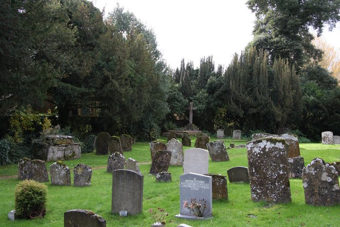
| Memorials | : | 7 |
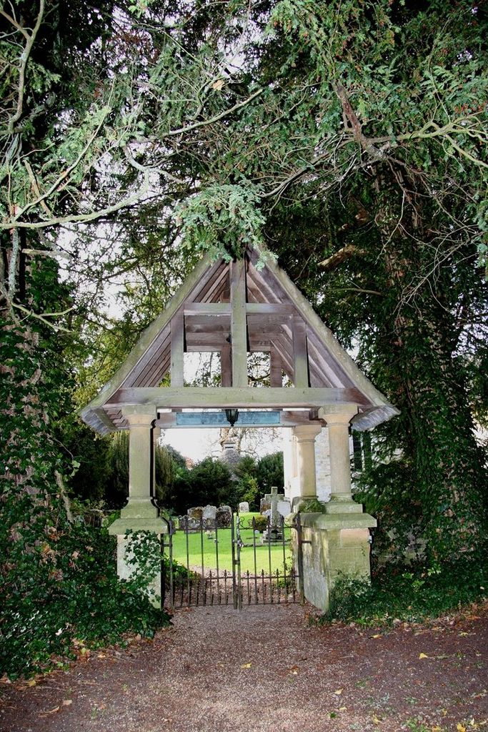
| Location | : | Kiddington, West Oxfordshire District, England |
| Coordinate | : | 51.9032900, -1.4031790 |
frequently asked questions (FAQ):
-
Where is St Nicholas Churchyard?
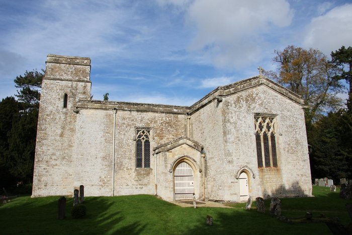
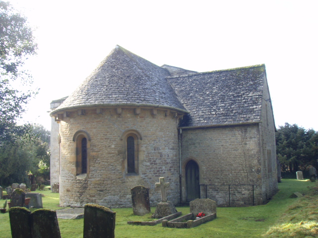
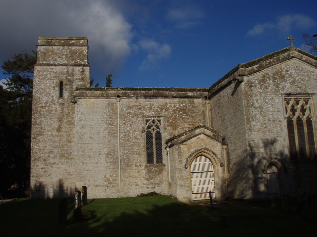
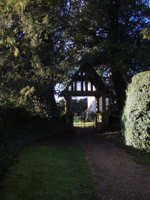
St Nicholas Churchyard is located at Five miles north of Woodstock off the A44 Kiddington, West Oxfordshire District ,Oxfordshire , OX20 1BXEngland.
-
St Nicholas Churchyard cemetery's updated grave count on graveviews.com?
7 memorials
-
Where are the coordinates of the St Nicholas Churchyard?
Latitude: 51.9032900
Longitude: -1.4031790
Nearby Cemetories:
1. Glympton Churchyard
Glympton, West Oxfordshire District, England
Coordinate: 51.8937150, -1.3852970
2. St. Edward the Confessor Churchyard
Westcot Barton, West Oxfordshire District, England
Coordinate: 51.9280100, -1.3747200
3. St Martins Churchyard
Sandford St Martin, West Oxfordshire District, England
Coordinate: 51.9371500, -1.3901400
4. St. Kenelms Churchyard
Enstone, West Oxfordshire District, England
Coordinate: 51.9232490, -1.4494010
5. St Kenelm's Churchyard Extension
Enstone, West Oxfordshire District, England
Coordinate: 51.9240960, -1.4484250
6. St Mary the Virgin Churchyard
Wootton, West Oxfordshire District, England
Coordinate: 51.8756430, -1.3636990
7. Steeple Barton Churchyard
Steeple Barton, West Oxfordshire District, England
Coordinate: 51.9207670, -1.3498060
8. St Michael and All Angels Churchyard
Great Tew, West Oxfordshire District, England
Coordinate: 51.9569280, -1.4205150
9. Saint James the Great Churchyard
Stonesfield, West Oxfordshire District, England
Coordinate: 51.8510437, -1.4303250
10. St Johns Churchyard
Little Tew, West Oxfordshire District, England
Coordinate: 51.9540390, -1.4419230
11. Stonesfield Cemetery
Stonesfield, West Oxfordshire District, England
Coordinate: 51.8497110, -1.4301480
12. All Saints Churchyard
Spelsbury, West Oxfordshire District, England
Coordinate: 51.8909988, -1.4941750
13. Charlbury Cemetery
Charlbury, West Oxfordshire District, England
Coordinate: 51.8753600, -1.4855300
14. North Oxfordshire Memorial Park and Crematorium
Tackley, West Oxfordshire District, England
Coordinate: 51.8647410, -1.3312160
15. Holy Trinity Churchyard
Over Worton, West Oxfordshire District, England
Coordinate: 51.9598240, -1.3753620
16. St. Mary the Virgin Churchyard
Charlbury, West Oxfordshire District, England
Coordinate: 51.8722050, -1.4846970
17. Lawn Cemetery
Woodstock, West Oxfordshire District, England
Coordinate: 51.8534220, -1.3512110
18. St Leonard and St James Churchyard
Rousham, West Oxfordshire District, England
Coordinate: 51.9139780, -1.3037790
19. St. Nicholas Churchyard
Tackley, West Oxfordshire District, England
Coordinate: 51.8782400, -1.3102910
20. St Mary Magdalene Churchyard
Woodstock, West Oxfordshire District, England
Coordinate: 51.8472890, -1.3569480
21. Hensington Road Cemetery
Woodstock, West Oxfordshire District, England
Coordinate: 51.8488700, -1.3495500
22. SS Peter and Paul Churchyard
Steeple Aston, Cherwell District, England
Coordinate: 51.9311350, -1.3091000
23. St Mary Magdelene Churchyard
Duns Tew, Cherwell District, England
Coordinate: 51.9528350, -1.3363090
24. St James Churchyard
Nether Worton, West Oxfordshire District, England
Coordinate: 51.9678100, -1.3807900