
| Memorials | : | 0 |
| Location | : | Duns Tew, Cherwell District, England |
| Coordinate | : | 51.9528350, -1.3363090 |
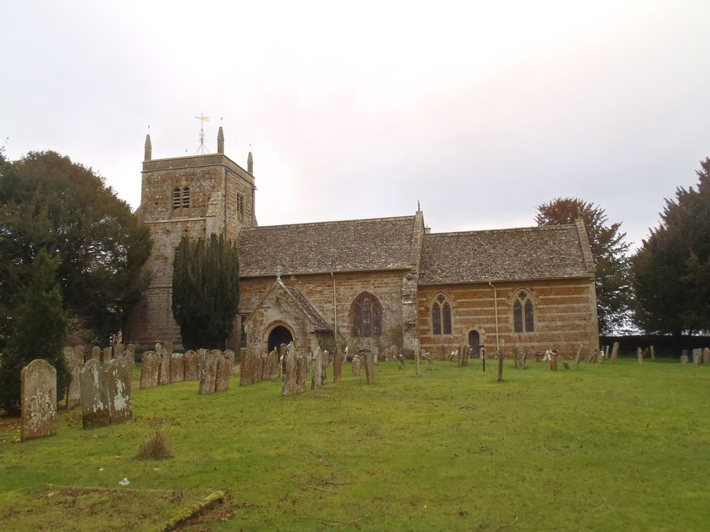
| Description | : | Duns Tew is a village and civil parish about 7.5 miles (12 km) south of Banbury in Oxfordshire. With nearby Great Tew and Little Tew, Duns Tew is one of the three villages known locally as "The Tews. The Church of England parish church of St. Mary Magdalene existed in the 12th century, from which period the font and one Early English Gothic lancet window in the chancel survive. The north aisle was added late in the 13th or early in the 14th century. The tower, south porch and many of the present windows were added late in the 14th or... Read More |
frequently asked questions (FAQ):
-
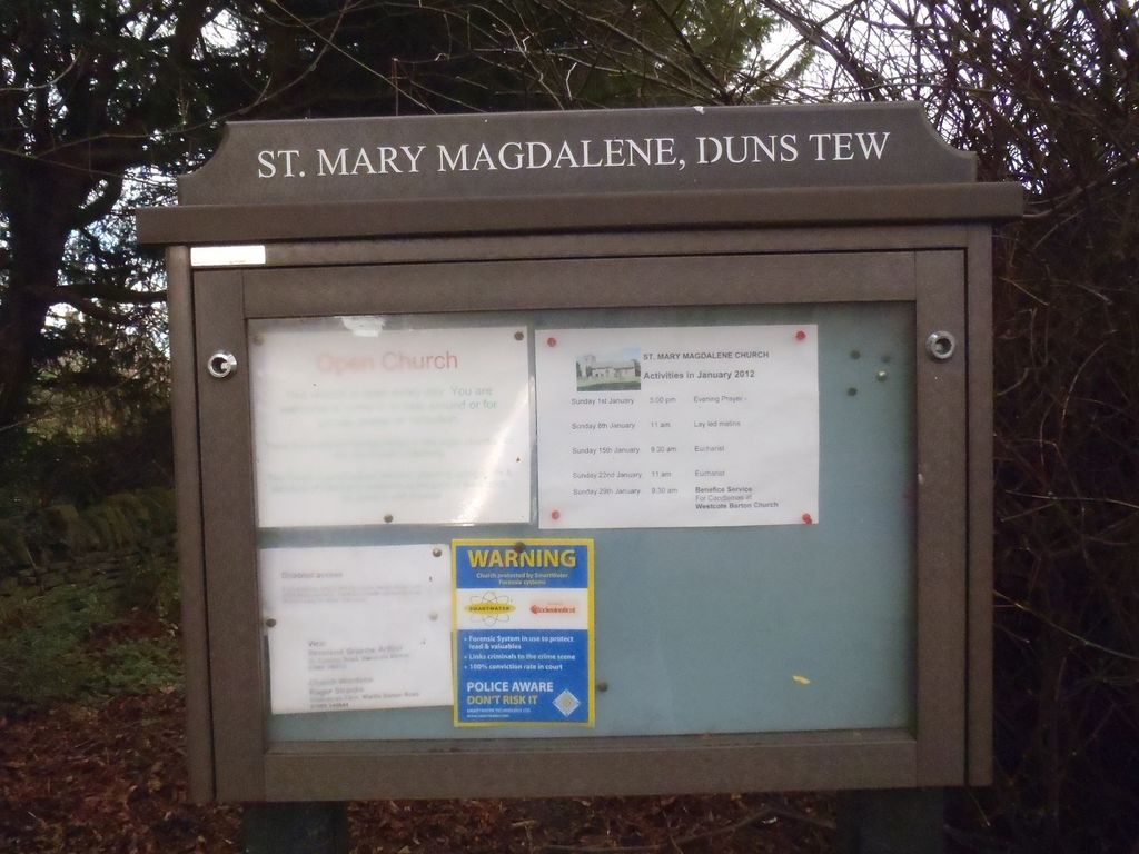
Where is St Mary Magdelene Churchyard?
St Mary Magdelene Churchyard is located at Main Street Duns Tew, Cherwell District ,Oxfordshire ,England.
-
St Mary Magdelene Churchyard cemetery's updated grave count on graveviews.com?
0 memorials
-
Where are the coordinates of the St Mary Magdelene Churchyard?
Latitude: 51.9528350
Longitude: -1.3363090
Nearby Cemetories:
1. St Marys Churchyard
North Aston, Cherwell District, England
Coordinate: 51.9562960, -1.3020350
2. Holy Trinity Churchyard
Over Worton, West Oxfordshire District, England
Coordinate: 51.9598240, -1.3753620
3. SS Peter and Paul Churchyard
Steeple Aston, Cherwell District, England
Coordinate: 51.9311350, -1.3091000
4. Deddington Cemetery
Deddington, Cherwell District, England
Coordinate: 51.9824490, -1.3338930
5. Ss Peter and Paul Churchyard
Deddington, Cherwell District, England
Coordinate: 51.9817680, -1.3207470
6. St James Churchyard
Nether Worton, West Oxfordshire District, England
Coordinate: 51.9678100, -1.3807900
7. Steeple Barton Churchyard
Steeple Barton, West Oxfordshire District, England
Coordinate: 51.9207670, -1.3498060
8. St. Edward the Confessor Churchyard
Westcot Barton, West Oxfordshire District, England
Coordinate: 51.9280100, -1.3747200
9. St James Churchyard
Somerton, Cherwell District, England
Coordinate: 51.9539990, -1.2786200
10. St Martins Churchyard
Sandford St Martin, West Oxfordshire District, England
Coordinate: 51.9371500, -1.3901400
11. St Mary Churchyard
Lower Heyford, Cherwell District, England
Coordinate: 51.9202580, -1.2960220
12. St Marys Churchyard
Upper Heyford, Cherwell District, England
Coordinate: 51.9290710, -1.2819670
13. Upper Heyford Cemetery
Upper Heyford, Cherwell District, England
Coordinate: 51.9294701, -1.2808000
14. Barford St. Michael Churchyard
Barford St Michael, Cherwell District, England
Coordinate: 51.9903200, -1.3711500
15. St Leonard and St James Churchyard
Rousham, West Oxfordshire District, England
Coordinate: 51.9139780, -1.3037790
16. St John's Churchyard
Barford St John, Cherwell District, England
Coordinate: 51.9955050, -1.3620350
17. St Michael and All Angels Churchyard
Great Tew, West Oxfordshire District, England
Coordinate: 51.9569280, -1.4205150
18. St John the Evangelist
Milton, Cherwell District, England
Coordinate: 52.0117900, -1.3452510
19. St Olave Churchyard
Fritwell, Cherwell District, England
Coordinate: 51.9596980, -1.2381180
20. Fritwell Parish Council Cemetery
Fritwell, Cherwell District, England
Coordinate: 51.9599490, -1.2380650
21. Adderbury Parish Cemetery
Adderbury, Cherwell District, England
Coordinate: 52.0139537, -1.3246874
22. South Newington St Peter ad Vincula
South Newington, Cherwell District, England
Coordinate: 51.9970000, -1.4082300
23. St Mary the Virgin Churchyard
Adderbury, Cherwell District, England
Coordinate: 52.0148420, -1.3152270
24. St Nicholas Churchyard
Kiddington, West Oxfordshire District, England
Coordinate: 51.9032900, -1.4031790