
| Memorials | : | 0 |
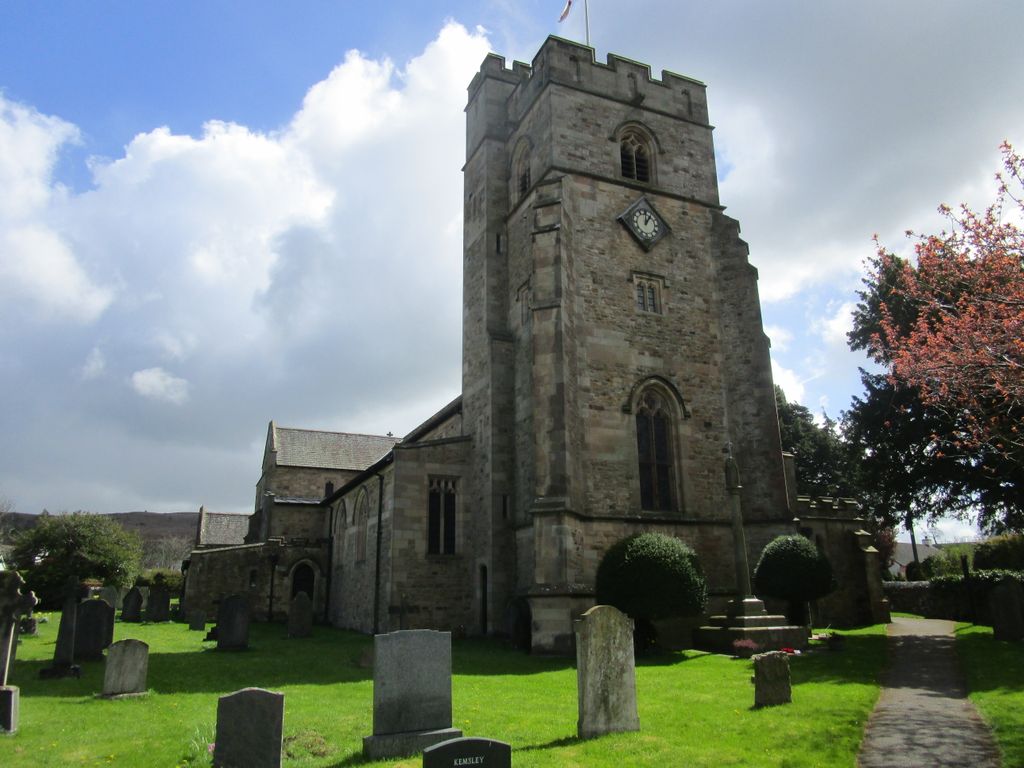
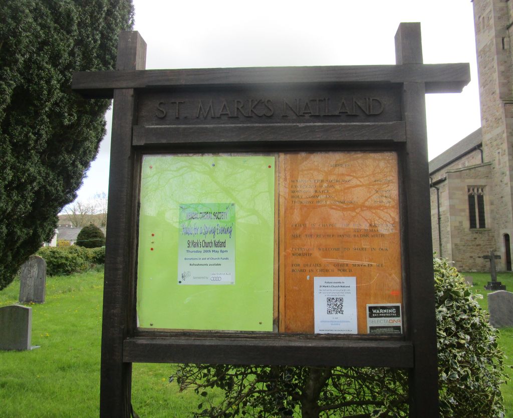
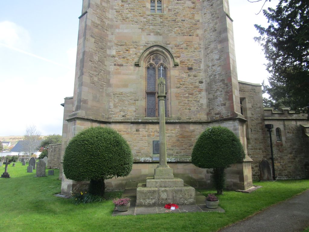
| Location | : | Natland, South Lakeland District, England |
| Coordinate | : | 54.2961380, -2.7374200 |
| Description | : | St Mark's Church serves the communities of Natland, Oxenholme, the Oaks and beyond. |
frequently asked questions (FAQ):
-
Where is St Mark's Churchyard?
St Mark's Churchyard is located at Natland, South Lakeland District ,Cumbria ,England.
-
St Mark's Churchyard cemetery's updated grave count on graveviews.com?
0 memorials
-
Where are the coordinates of the St Mark's Churchyard?
Latitude: 54.2961380
Longitude: -2.7374200
Nearby Cemetories:
1. St. Thomas' Churchyard
Crosscrake, South Lakeland District, England
Coordinate: 54.2763700, -2.7335300
2. Parkside Cemetery
Kendal, South Lakeland District, England
Coordinate: 54.3210870, -2.7362680
3. Holy Trinity Church
Kendal, South Lakeland District, England
Coordinate: 54.3223970, -2.7448770
4. Helsington Churchyard
Helsington, South Lakeland District, England
Coordinate: 54.2934390, -2.7871630
5. The Sepulchre Quaker Burial Ground
Kendal, South Lakeland District, England
Coordinate: 54.3270022, -2.7502978
6. Quaker Burial Ground
Kendal, South Lakeland District, England
Coordinate: 54.3278200, -2.7285500
7. Kendal Quaker Meeting House
Kendal, South Lakeland District, England
Coordinate: 54.3287200, -2.7431900
8. Kendal Unitarian Chapel Burial Ground
Kendal, South Lakeland District, England
Coordinate: 54.3287120, -2.7450940
9. Castle Street Cemetery
Kendal, South Lakeland District, England
Coordinate: 54.3301600, -2.7365160
10. St. Thomas Churchyard
Kendal, South Lakeland District, England
Coordinate: 54.3316130, -2.7489140
11. Stricklandgate Methodist
Kendal, South Lakeland District, England
Coordinate: 54.3321160, -2.7493720
12. St. Stephen's Churchyard
New Hutton, South Lakeland District, England
Coordinate: 54.3156560, -2.6747130
13. St John the Evangelist Churchyard
Levens, South Lakeland District, England
Coordinate: 54.2647380, -2.7920660
14. Friends Meeting House Burial Ground
Preston Patrick, South Lakeland District, England
Coordinate: 54.2499970, -2.7042040
15. St. Patrick's Churchyard
Preston Patrick, South Lakeland District, England
Coordinate: 54.2451230, -2.7120480
16. St. John The Baptist Cemetery Extension
Skelsmergh, South Lakeland District, England
Coordinate: 54.3519250, -2.7249650
17. St. John the Baptist Cemetery
Skelsmergh, South Lakeland District, England
Coordinate: 54.3521700, -2.7253800
18. St. Peter's Churchyard
Heversham, South Lakeland District, England
Coordinate: 54.2436690, -2.7749850
19. All Saints Churchyard
Underbarrow, South Lakeland District, England
Coordinate: 54.3262900, -2.8268240
20. St Oswald Churchyard
Burneside, South Lakeland District, England
Coordinate: 54.3546500, -2.7634950
21. St. Mary's Churchyard
Crosthwaite, South Lakeland District, England
Coordinate: 54.3129300, -2.8526100
22. Crosthwaite Cemetery
Crosthwaite, South Lakeland District, England
Coordinate: 54.3126000, -2.8546900
23. St. Thomas Church Cemetery
Milnthorpe, South Lakeland District, England
Coordinate: 54.2269300, -2.7651600
24. St. Thomas Churchyard
Milnthorpe, South Lakeland District, England
Coordinate: 54.2267500, -2.7711100