
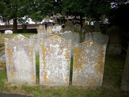
| Memorials | : | 473 |
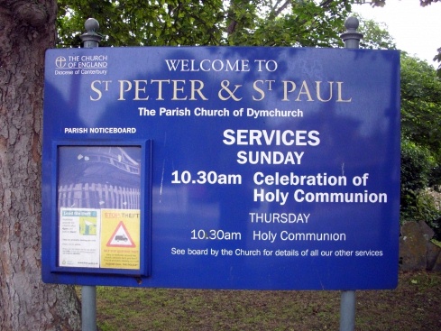
| Location | : | Dymchurch, Shepway District, England |
| Coordinate | : | 51.0283830, 0.9979190 |
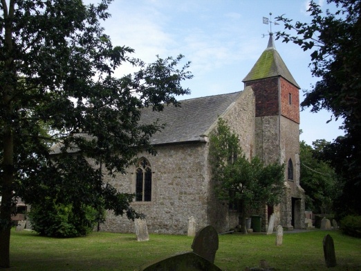
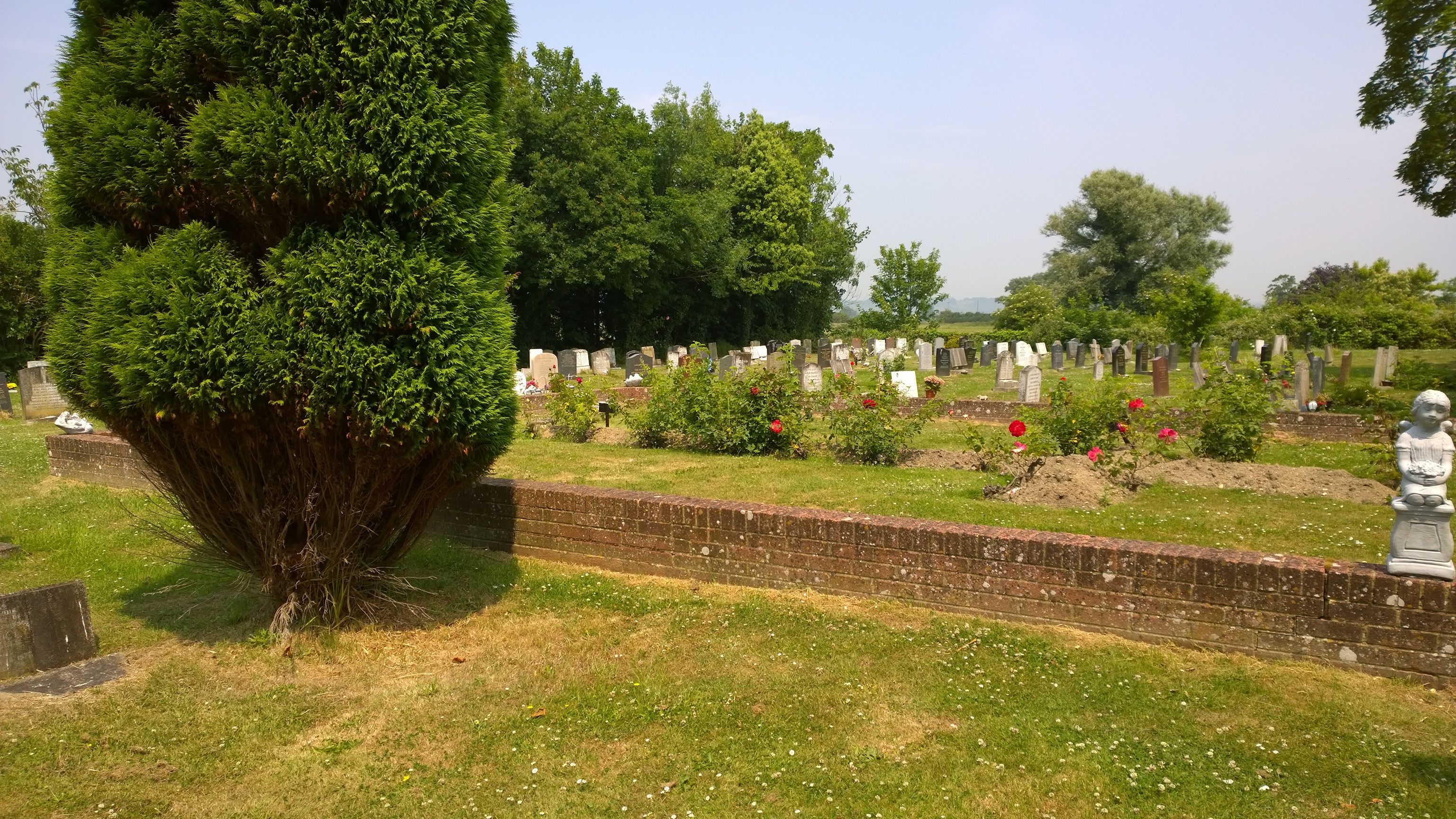
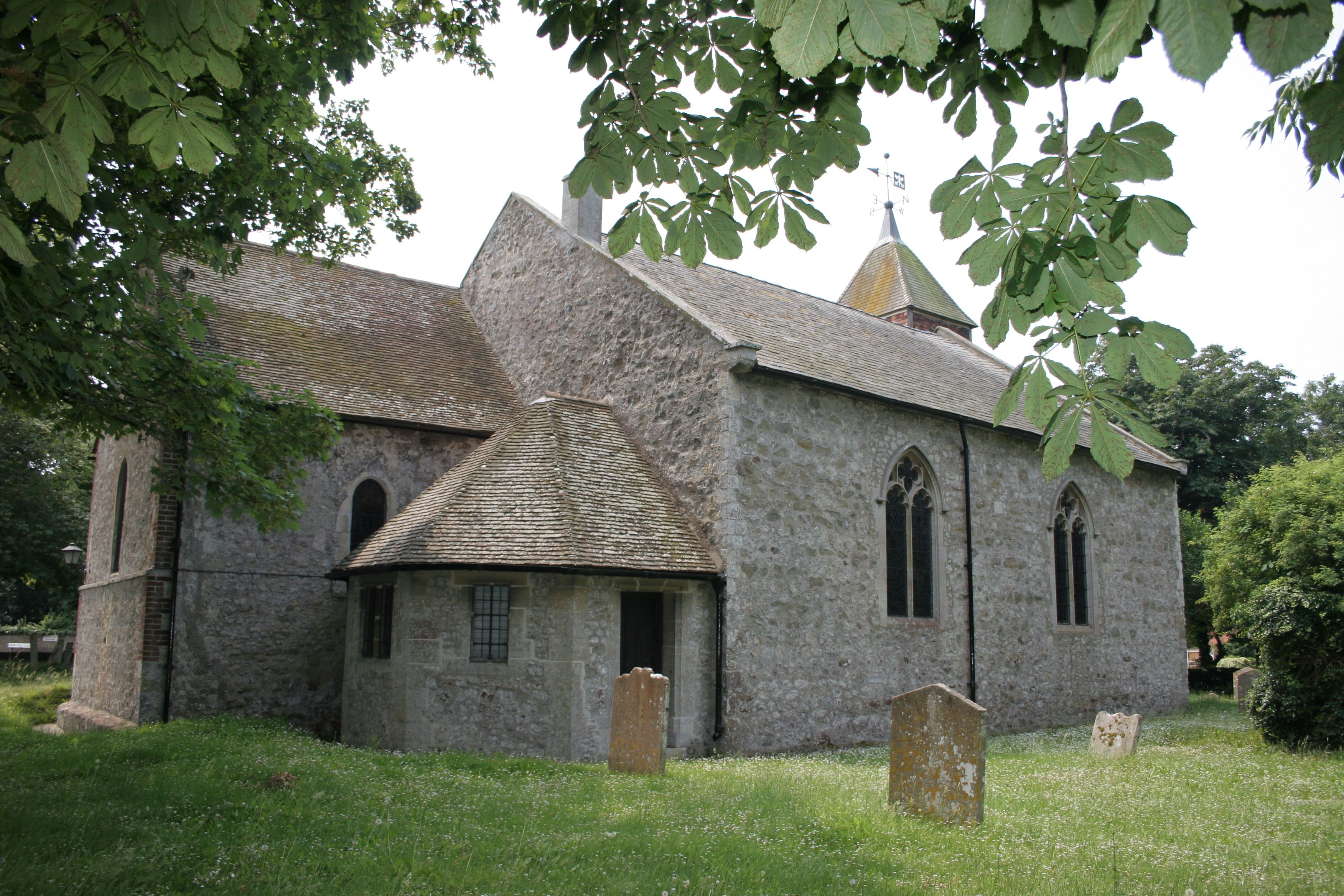
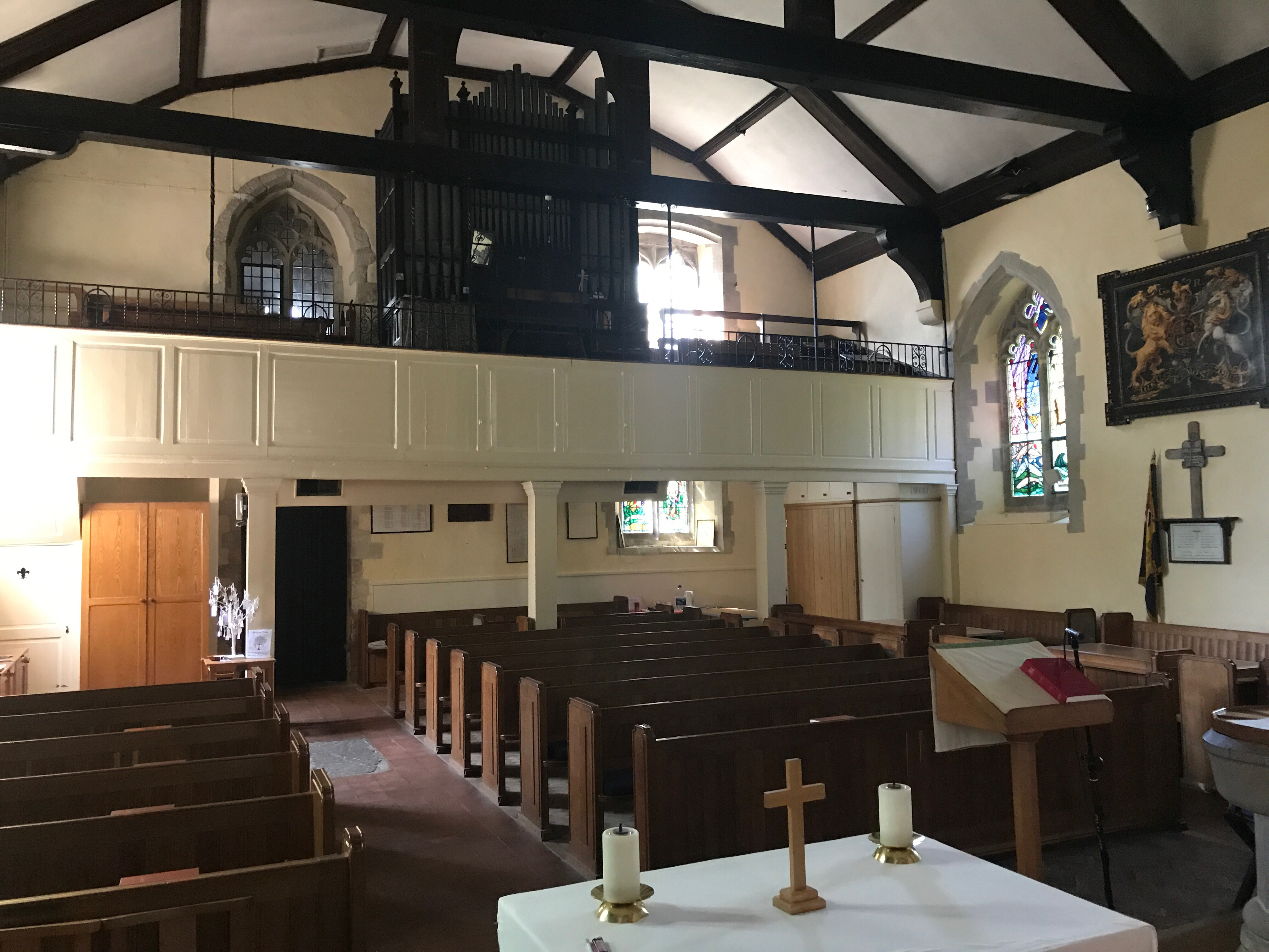
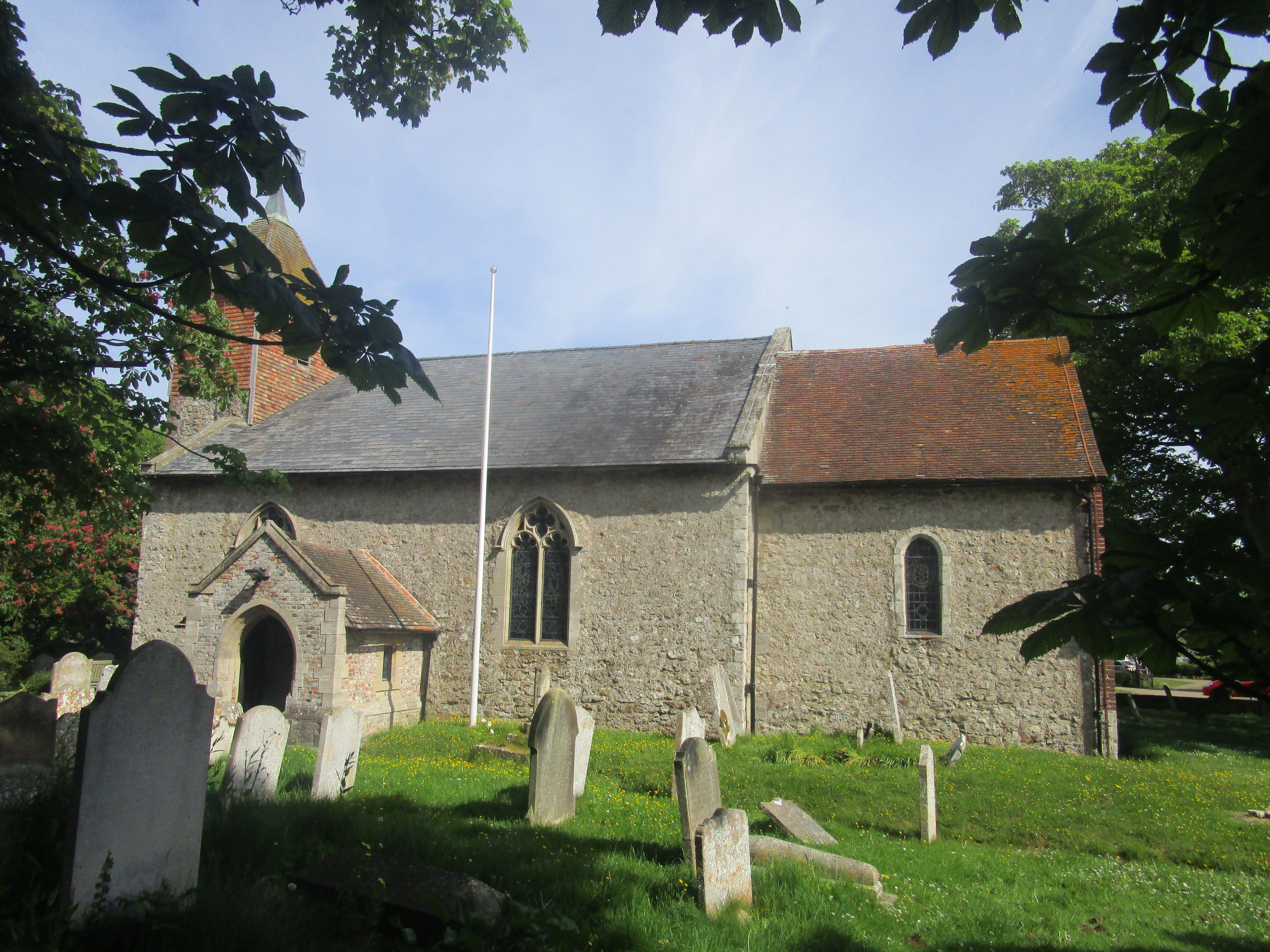
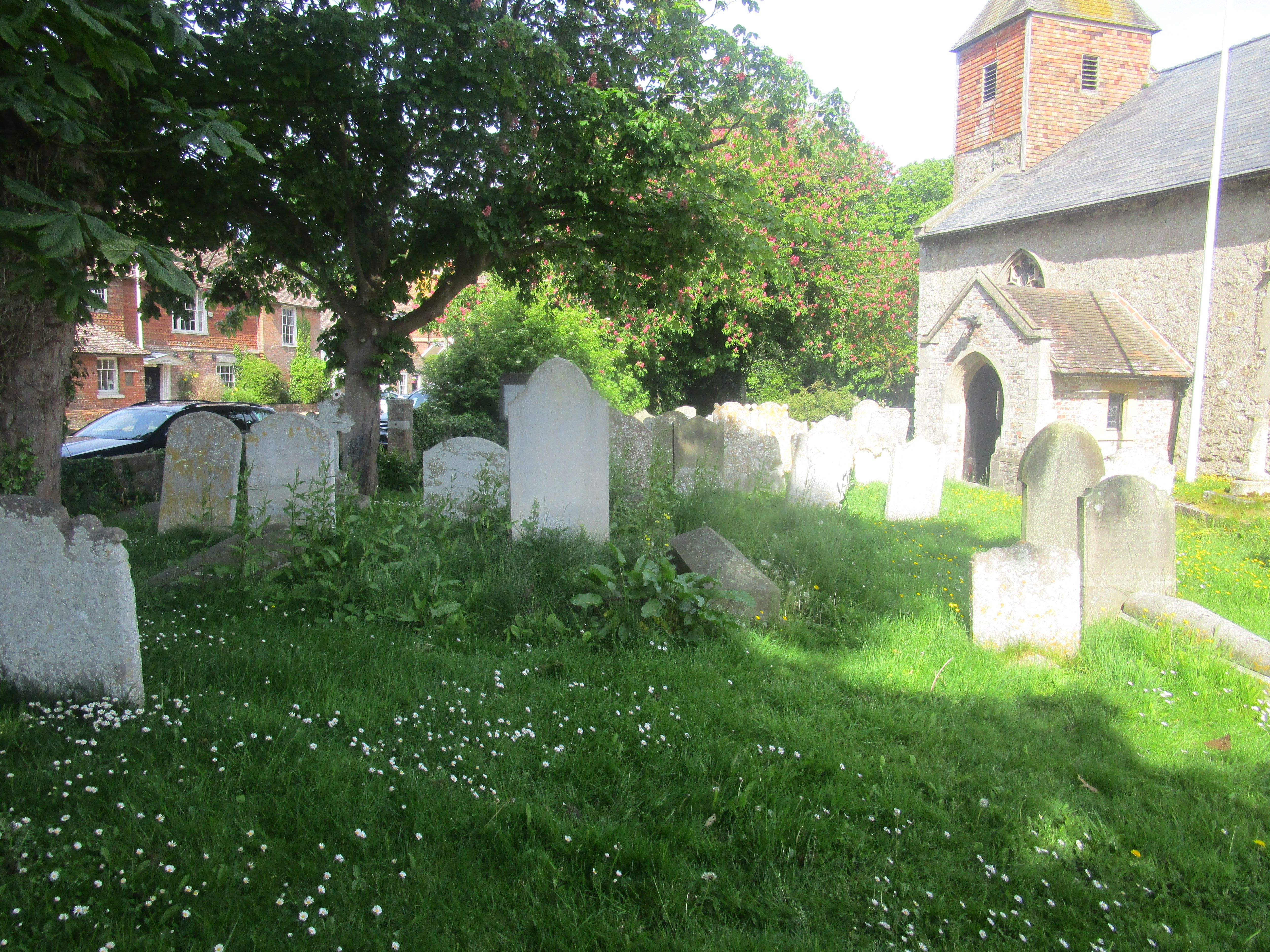
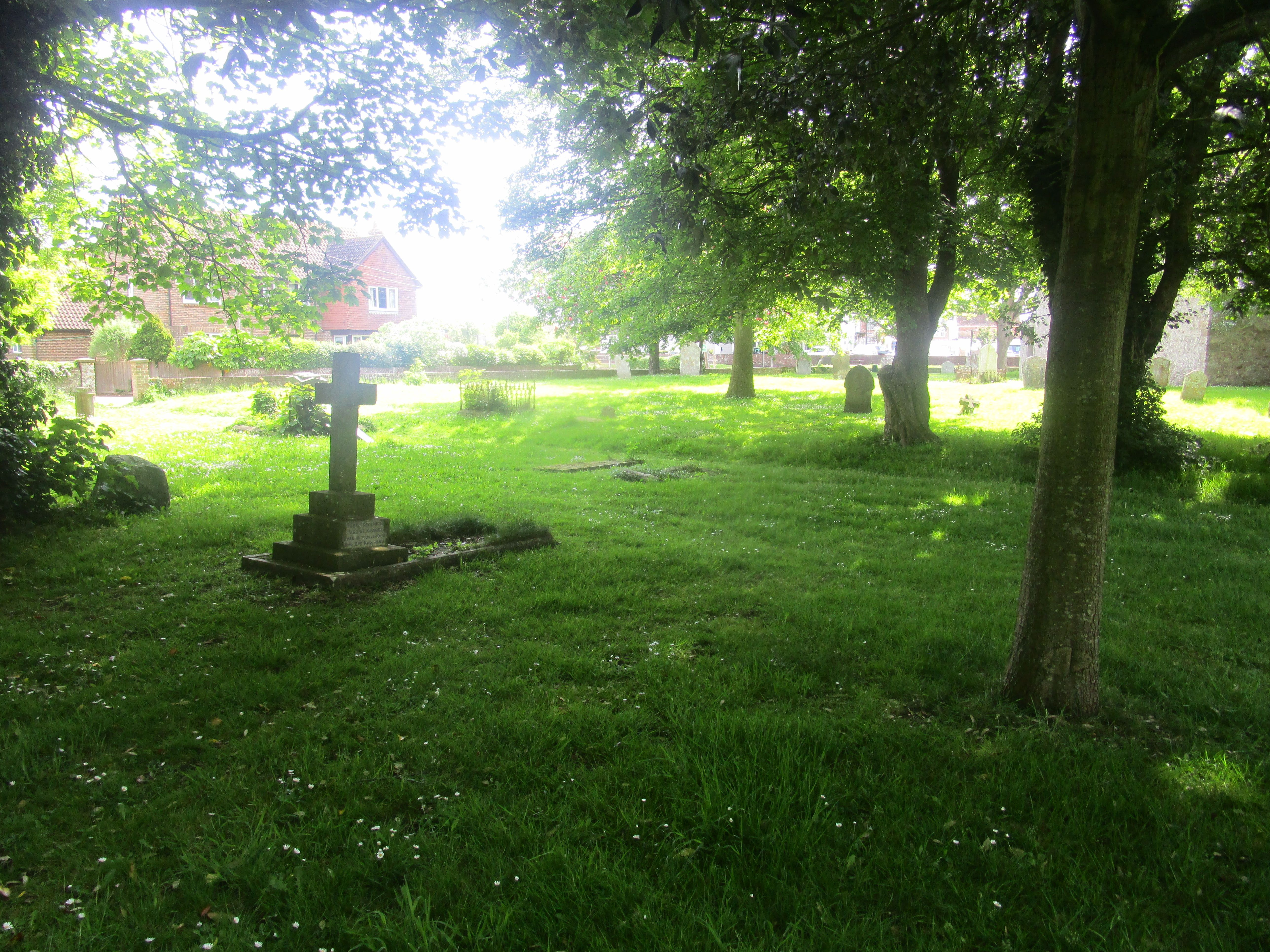
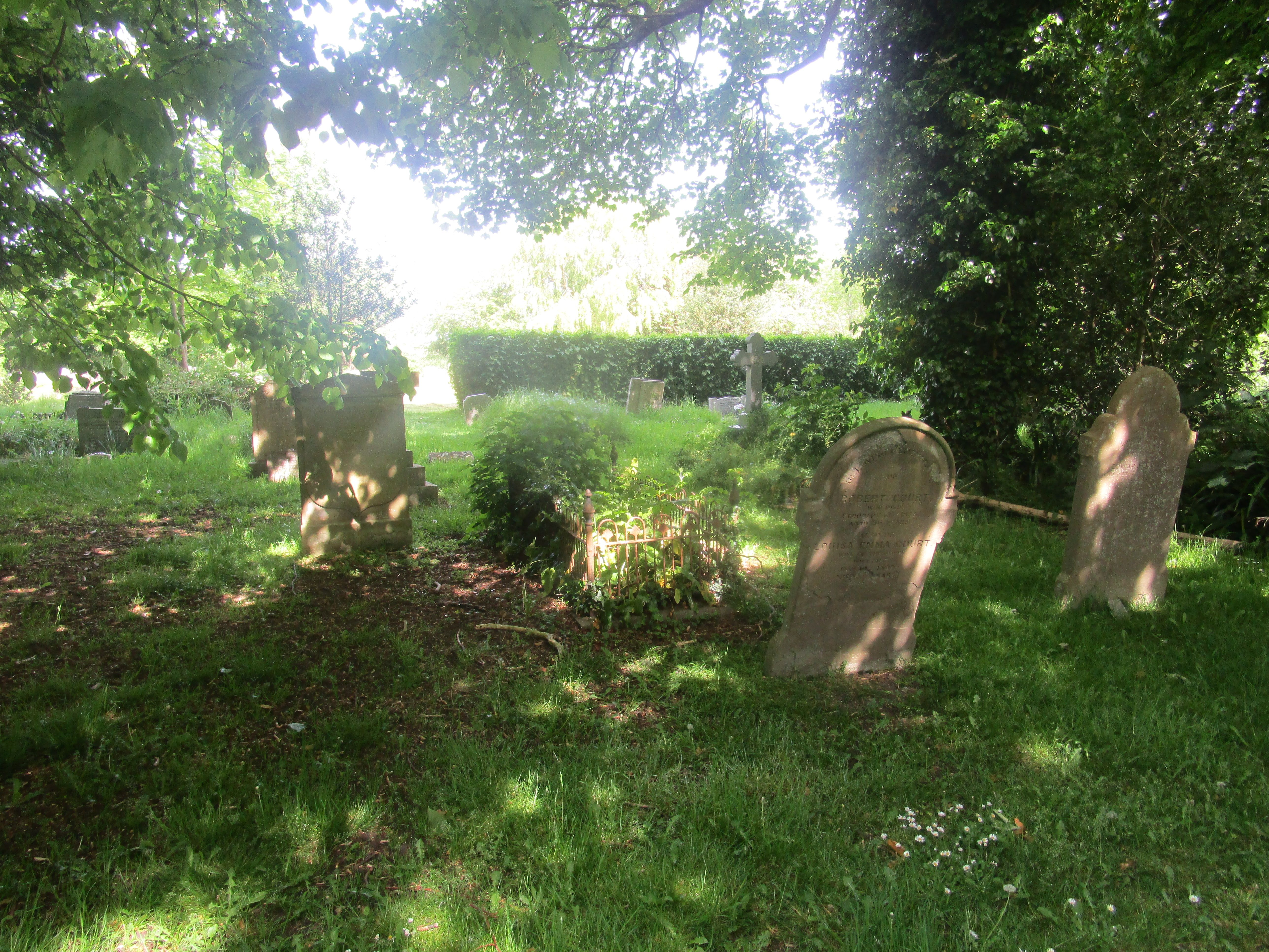
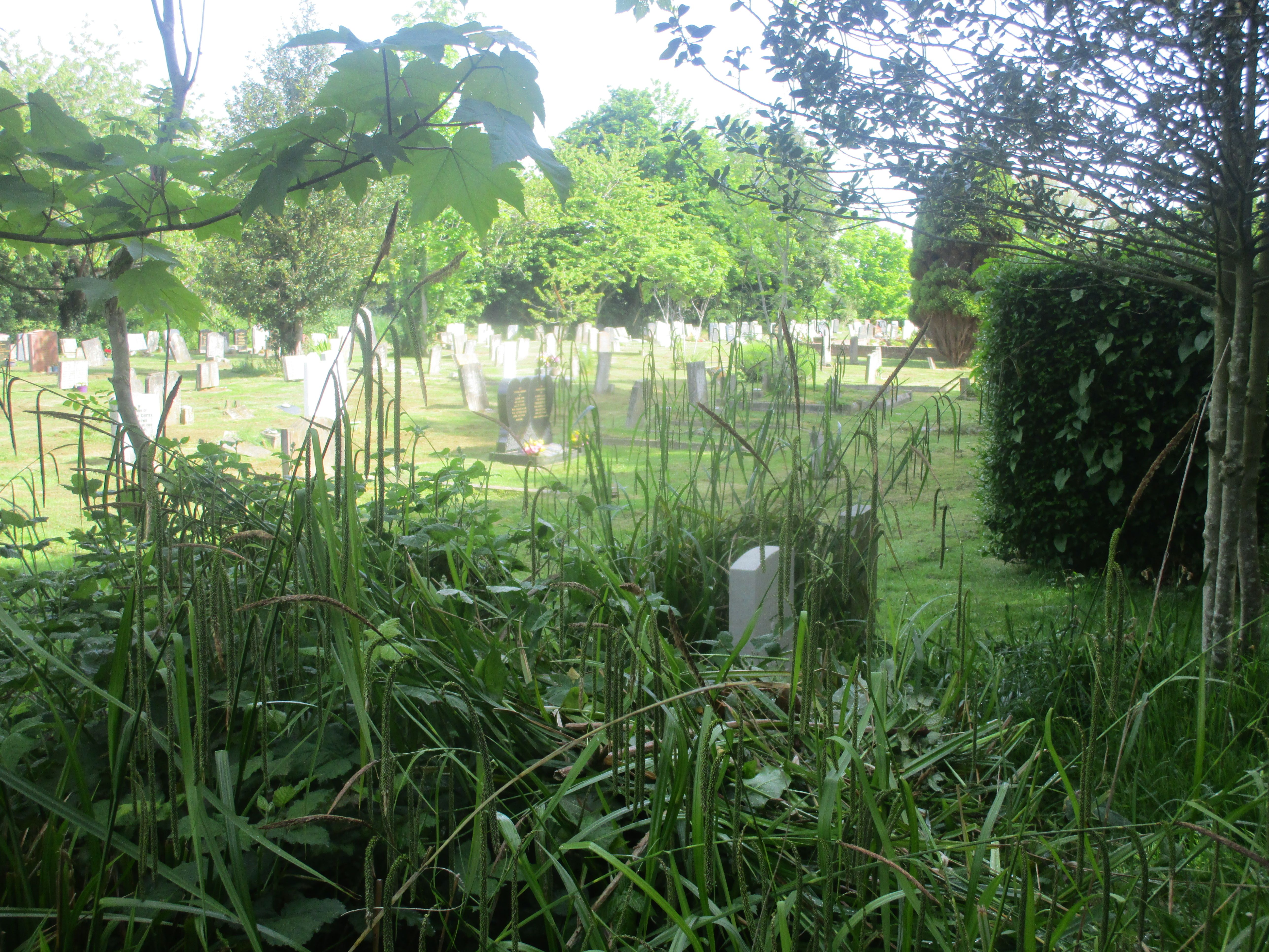
| Description | : | There are three separate burial grounds at Dymchurch, all surrounding St Peter and St Pauls Church. The cemetery at the front and side of St Peter and St Paul Church is owned and managed by the Diocese of Canterbury. The cemetery at the side of the community hall was owned by Shepway District Council. It was closed as a graveyard some years ago, and the register of interments is now kept at Dymchurch Parish Council. The burial ground at the rear of the Masonic Hall is owned by Dymchurch Parish Council. The burial ground has been full since 2008 and no further... Read More |
frequently asked questions (FAQ):
-
Where is St Peter and St Paul Churchyard?
St Peter and St Paul Churchyard is located at Dymchurch, Shepway District ,Kent ,England.
-
St Peter and St Paul Churchyard cemetery's updated grave count on graveviews.com?
472 memorials
-
Where are the coordinates of the St Peter and St Paul Churchyard?
Latitude: 51.0283830
Longitude: 0.9979190
Nearby Cemetories:
1. Dymchurch burial ground
Dymchurch, Shepway District, England
Coordinate: 51.0292430, 0.9972430
2. All Saints Churchyard
Burmarsh, Shepway District, England
Coordinate: 51.0492000, 0.9964000
3. St Mary the Virgin Churchyard
St Mary in the Marsh, Shepway District, England
Coordinate: 51.0141390, 0.9423380
4. St. Stephen's Churchyard
Lympne, Shepway District, England
Coordinate: 51.0720910, 1.0244150
5. Church of St. Peter & St. Paul
Newchurch, Shepway District, England
Coordinate: 51.0438640, 0.9272210
6. St Nicholas Churchyard
New Romney, Shepway District, England
Coordinate: 50.9850930, 0.9411740
7. Burma Campaign Memorial
New Romney, Shepway District, England
Coordinate: 50.9851600, 0.9404470
8. New Romney Cemetery
New Romney, Shepway District, England
Coordinate: 50.9843600, 0.9388800
9. St. Rumwold Churchyard
Bonnington, Ashford Borough, England
Coordinate: 51.0722680, 0.9350370
10. Saint Martin's Churchyard
Aldington, Ashford Borough, England
Coordinate: 51.0874330, 0.9615520
11. St. Peter and St. Paul's Churchyard
Bilsington, Ashford Borough, England
Coordinate: 51.0713940, 0.9136430
12. Hythe War Memorial
Hythe, Shepway District, England
Coordinate: 51.0703040, 1.0849560
13. St Leonard's Churchyard
Hythe, Shepway District, England
Coordinate: 51.0727800, 1.0836580
14. St George's Church
Ivychurch, Shepway District, England
Coordinate: 51.0124590, 0.8895980
15. United Reformed Church
Hythe, Shepway District, England
Coordinate: 51.0723220, 1.0913160
16. St Clement Churchyard
Old Romney, Shepway District, England
Coordinate: 50.9901390, 0.8981780
17. St Peter and St Paul Churchyard
Saltwood, Shepway District, England
Coordinate: 51.0827710, 1.0795340
18. St. Mary Magdalene Churchyard
Ruckinge, Ashford Borough, England
Coordinate: 51.0654060, 0.8883300
19. St Mary Churchyard
Sellindge, Shepway District, England
Coordinate: 51.1070200, 0.9897100
20. All Saints Churchyard
Stanford, Shepway District, England
Coordinate: 51.1024987, 1.0425051
21. St Augustine Church
Snave, Ashford Borough, England
Coordinate: 51.0334570, 0.8710390
22. Spring Lane Cemetery
Hythe, Shepway District, England
Coordinate: 51.0783450, 1.1134600
23. St Enswith's Church
Brenzett, Shepway District, England
Coordinate: 51.0138510, 0.8573170
24. Brenzett Cemetery
Brenzett, Shepway District, England
Coordinate: 51.0130800, 0.8561300