
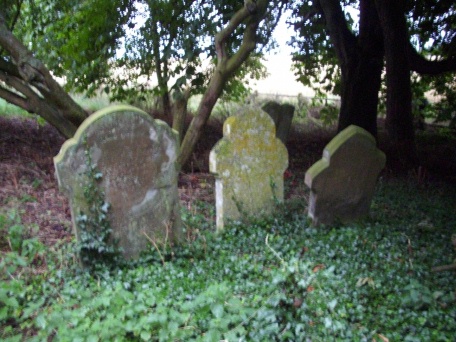
| Memorials | : | 49 |
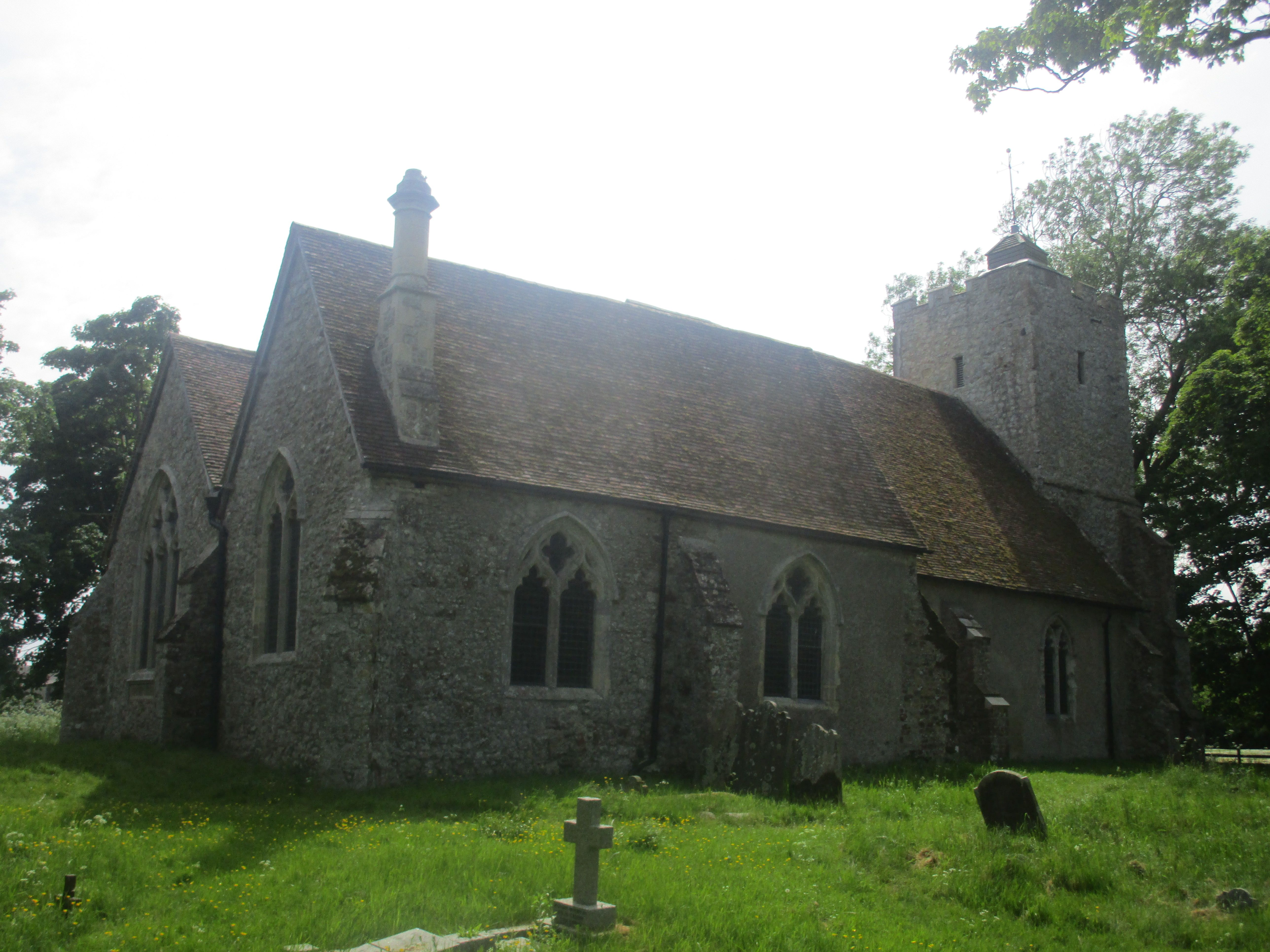
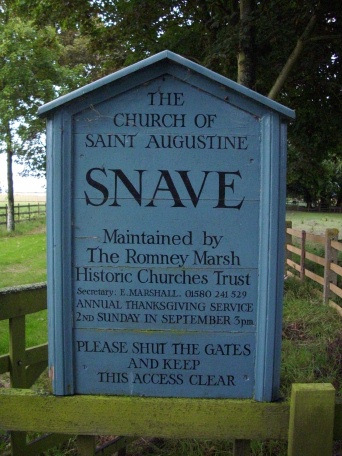
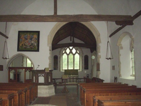
| Location | : | Snave, Ashford Borough, England |
| Coordinate | : | 51.0334570, 0.8710390 |
frequently asked questions (FAQ):
-
Where is St Augustine Church?
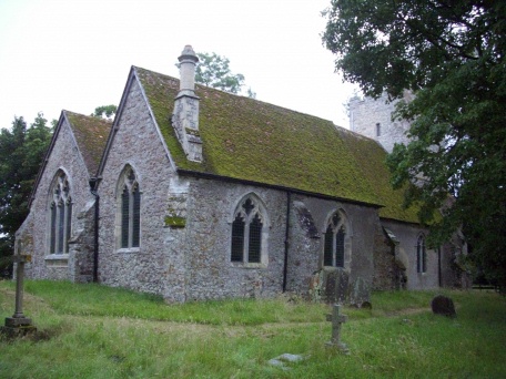
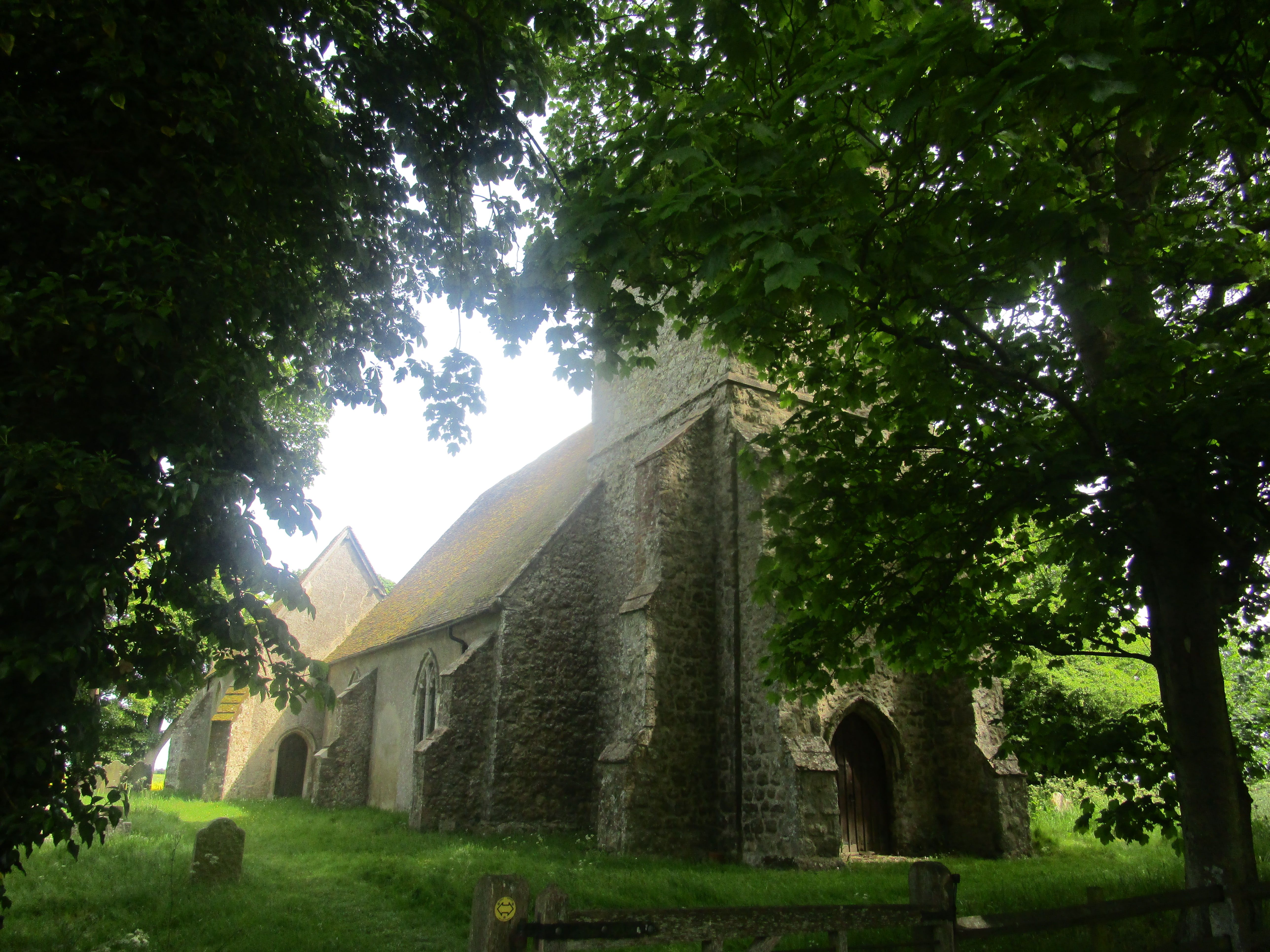
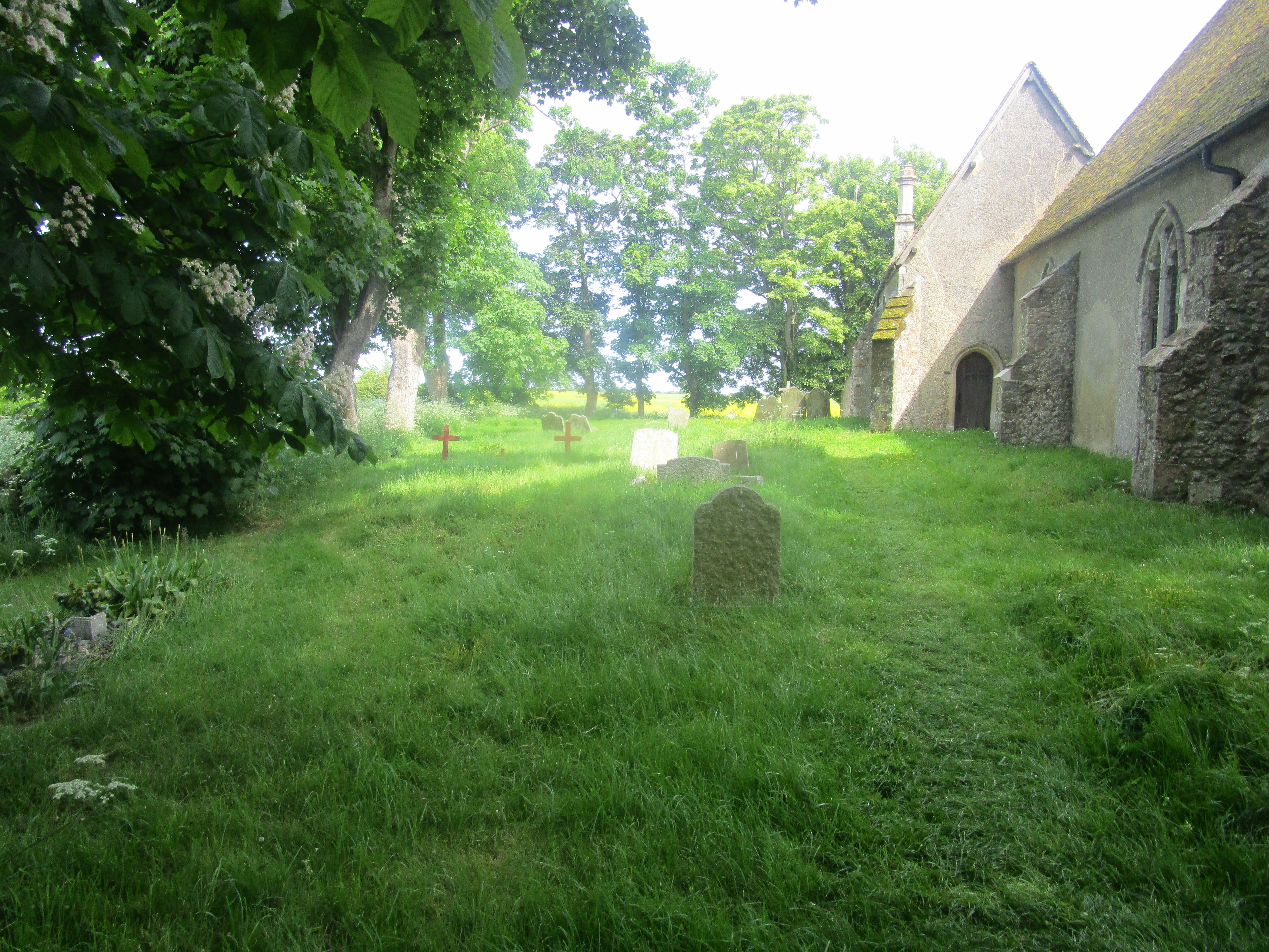
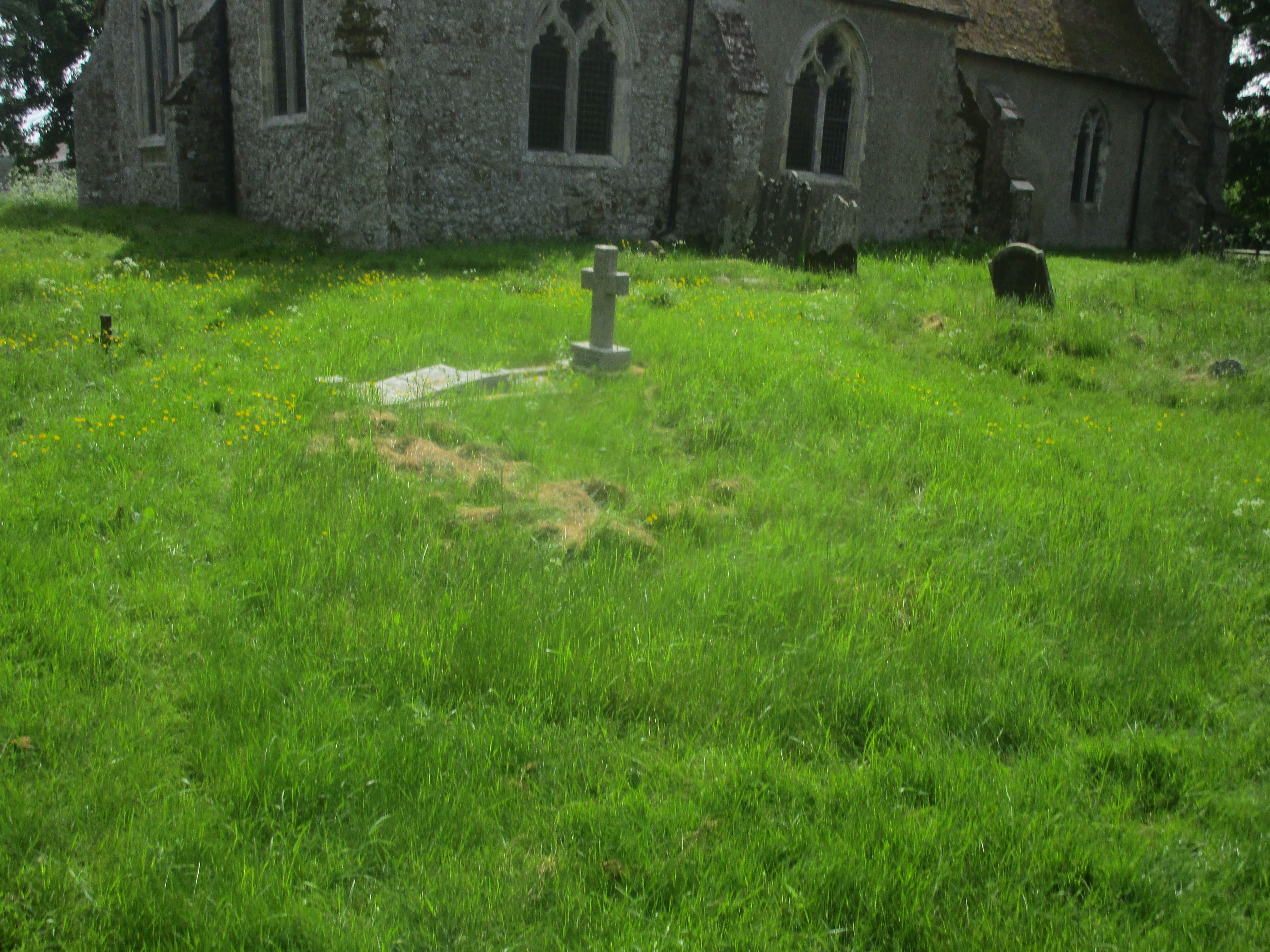
St Augustine Church is located at Snave, Ashford Borough ,Kent ,England.
-
St Augustine Church cemetery's updated grave count on graveviews.com?
49 memorials
-
Where are the coordinates of the St Augustine Church?
Latitude: 51.0334570
Longitude: 0.8710390
Nearby Cemetories:
1. St Enswith's Church
Brenzett, Shepway District, England
Coordinate: 51.0138510, 0.8573170
2. Brenzett Cemetery
Brenzett, Shepway District, England
Coordinate: 51.0130800, 0.8561300
3. St. Dunstan Churchyard
Snargate, Shepway District, England
Coordinate: 51.0227100, 0.8371750
4. St George's Church
Ivychurch, Shepway District, England
Coordinate: 51.0124590, 0.8895980
5. St. Matthew Churchyard
Warehorne, Ashford Borough, England
Coordinate: 51.0575460, 0.8375700
6. St. Mary Magdalene Churchyard
Ruckinge, Ashford Borough, England
Coordinate: 51.0654060, 0.8883300
7. Church of St. Peter & St. Paul
Newchurch, Shepway District, England
Coordinate: 51.0438640, 0.9272210
8. St Mary's Churchyard
Kenardington, Ashford Borough, England
Coordinate: 51.0546000, 0.8164000
9. St Augustine Church
Brookland, Shepway District, England
Coordinate: 50.9973880, 0.8337460
10. St Mary the Virgin Churchyard
Orlestone, Ashford Borough, England
Coordinate: 51.0767000, 0.8539000
11. St. Peter and St. Paul's Churchyard
Bilsington, Ashford Borough, England
Coordinate: 51.0713940, 0.9136430
12. St Clement Churchyard
Old Romney, Shepway District, England
Coordinate: 50.9901390, 0.8981780
13. St Mary the Virgin Churchyard
St Mary in the Marsh, Shepway District, England
Coordinate: 51.0141390, 0.9423380
14. St Peter and St Paul Churchyard
Appledore, Ashford Borough, England
Coordinate: 51.0295660, 0.7903990
15. St. Thomas à Becket Cemetery
Fairfield, Shepway District, England
Coordinate: 51.0043210, 0.7993930
16. St. Rumwold Churchyard
Bonnington, Ashford Borough, England
Coordinate: 51.0722680, 0.9350370
17. New Romney Cemetery
New Romney, Shepway District, England
Coordinate: 50.9843600, 0.9388800
18. Burma Campaign Memorial
New Romney, Shepway District, England
Coordinate: 50.9851600, 0.9404470
19. St Nicholas Churchyard
New Romney, Shepway District, England
Coordinate: 50.9850930, 0.9411740
20. St Mary the Virgin Churchyard
Stone-cum-Ebony, Ashford Borough, England
Coordinate: 51.0127980, 0.7645592
21. Saint Martin's Churchyard
Aldington, Ashford Borough, England
Coordinate: 51.0874330, 0.9615520
22. All Saints Churchyard
Woodchurch, Ashford Borough, England
Coordinate: 51.0807110, 0.7709980
23. Ss Peter & Paul Churchyard
Shadoxhurst, Ashford Borough, England
Coordinate: 51.1044850, 0.8144740
24. Dymchurch burial ground
Dymchurch, Shepway District, England
Coordinate: 51.0292430, 0.9972430