
| Memorials | : | 121 |
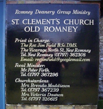
| Location | : | Old Romney, Shepway District, England |
| Coordinate | : | 50.9901390, 0.8981780 |
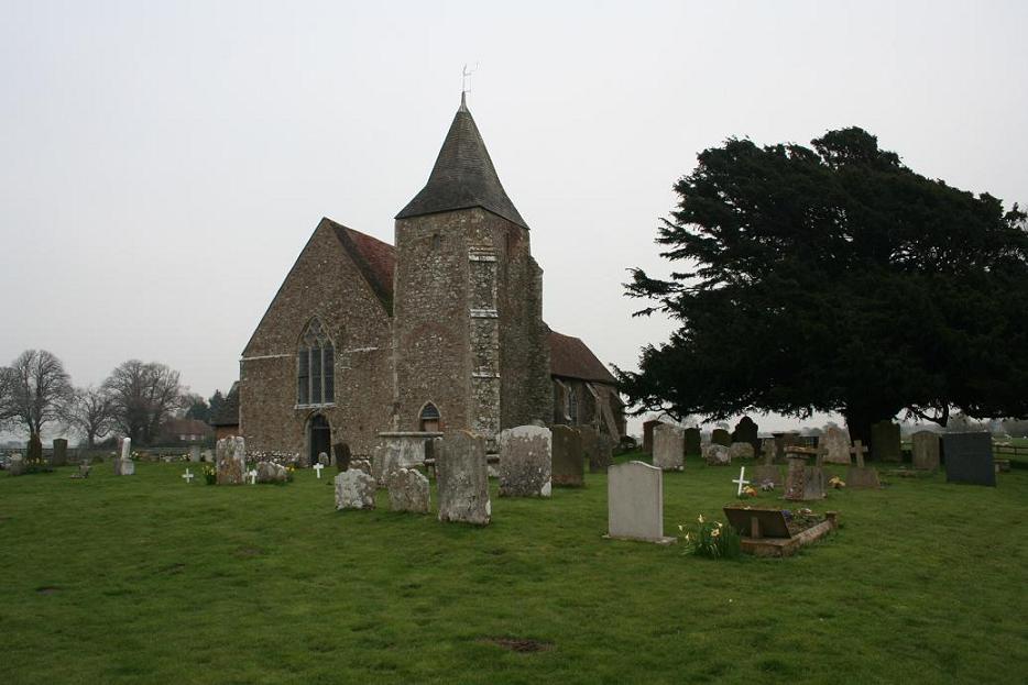
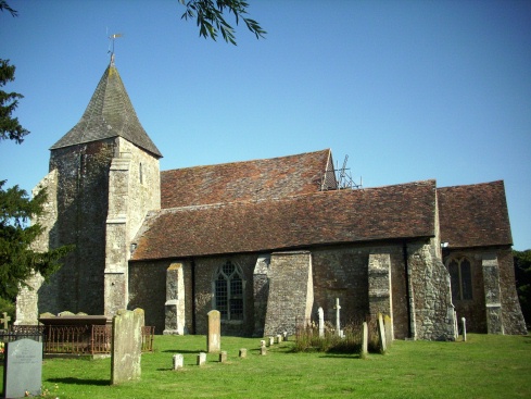
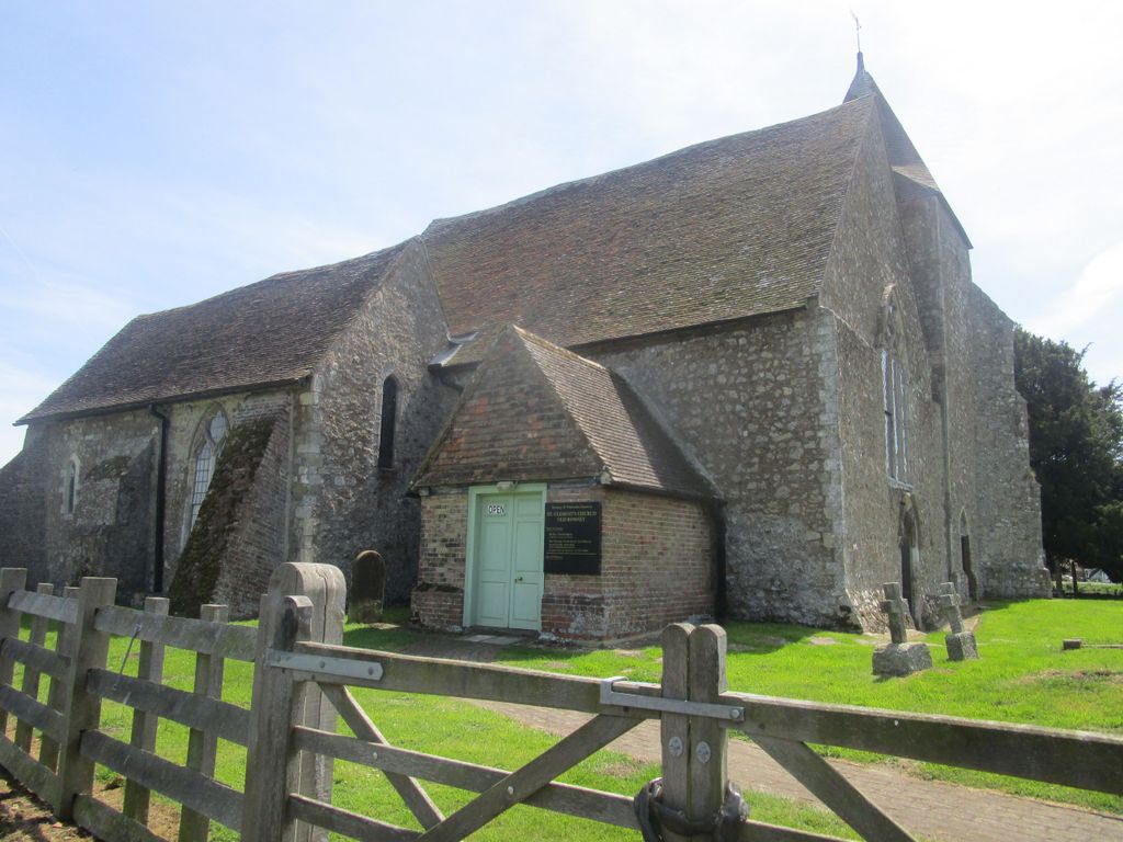
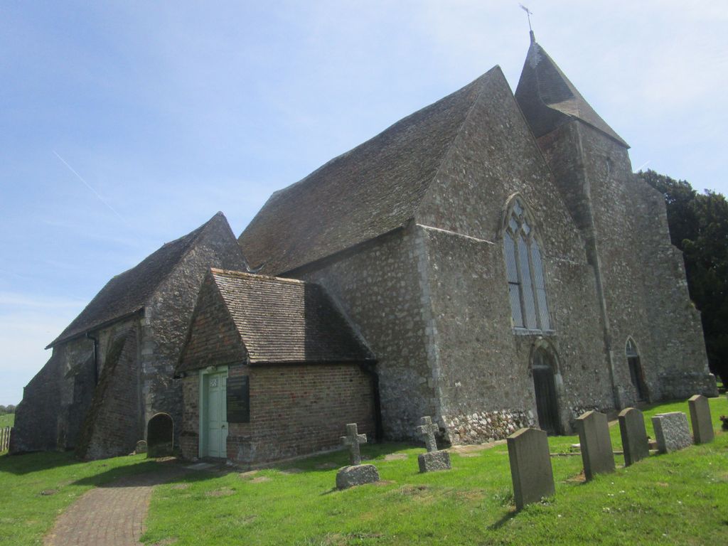
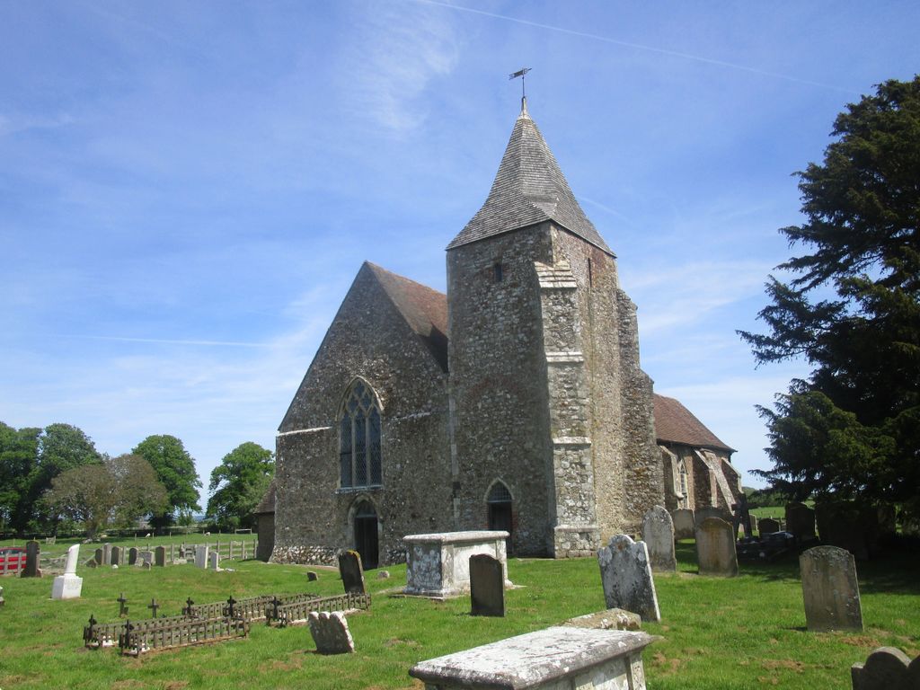
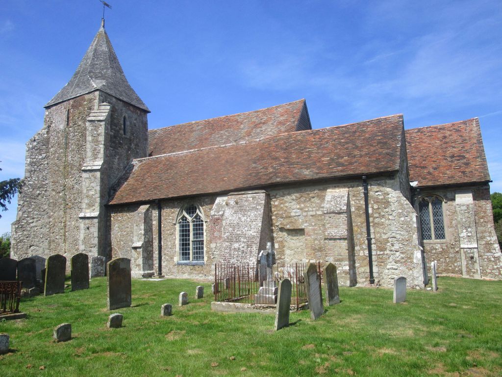
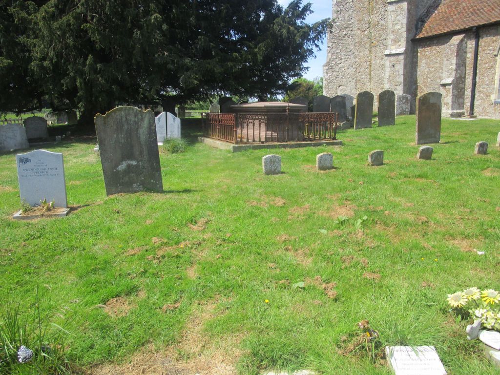
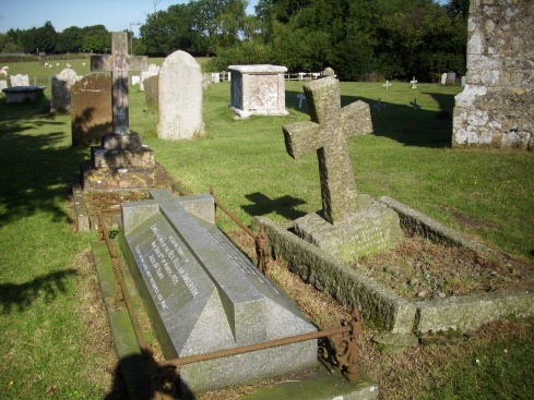
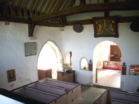
| Description | : | Old Romney is one of the four churches in Kent dedicated to St. Clement, a successor of St. Peter at Rome, who was martyred in A.D.102 by being cast into the sea with an anchor fastened to his neck. Sometime in the eleventh or twelfth century, the Saxon church was superseded by one of the early Norman type, an aisleless nave with a square-ended chancel. This was enlarged in the thirteenth century. |
frequently asked questions (FAQ):
-
Where is St Clement Churchyard?
St Clement Churchyard is located at Old Romney, Shepway District ,Kent ,England.
-
St Clement Churchyard cemetery's updated grave count on graveviews.com?
121 memorials
-
Where are the coordinates of the St Clement Churchyard?
Latitude: 50.9901390
Longitude: 0.8981780
Nearby Cemetories:
1. St George's Church
Ivychurch, Shepway District, England
Coordinate: 51.0124590, 0.8895980
2. New Romney Cemetery
New Romney, Shepway District, England
Coordinate: 50.9843600, 0.9388800
3. Burma Campaign Memorial
New Romney, Shepway District, England
Coordinate: 50.9851600, 0.9404470
4. St Nicholas Churchyard
New Romney, Shepway District, England
Coordinate: 50.9850930, 0.9411740
5. St Enswith's Church
Brenzett, Shepway District, England
Coordinate: 51.0138510, 0.8573170
6. Brenzett Cemetery
Brenzett, Shepway District, England
Coordinate: 51.0130800, 0.8561300
7. St Mary the Virgin Churchyard
St Mary in the Marsh, Shepway District, England
Coordinate: 51.0141390, 0.9423380
8. Lydd Cemetery
Lydd, Shepway District, England
Coordinate: 50.9531810, 0.9127050
9. All Saints Churchyard
Lydd, Shepway District, England
Coordinate: 50.9518160, 0.9068730
10. St Augustine Church
Brookland, Shepway District, England
Coordinate: 50.9973880, 0.8337460
11. St Augustine Church
Snave, Ashford Borough, England
Coordinate: 51.0334570, 0.8710390
12. St. Dunstan Churchyard
Snargate, Shepway District, England
Coordinate: 51.0227100, 0.8371750
13. Church of St. Peter & St. Paul
Newchurch, Shepway District, England
Coordinate: 51.0438640, 0.9272210
14. St. Thomas à Becket Cemetery
Fairfield, Shepway District, England
Coordinate: 51.0043210, 0.7993930
15. St Peter and St Paul Churchyard
Dymchurch, Shepway District, England
Coordinate: 51.0283830, 0.9979190
16. Dymchurch burial ground
Dymchurch, Shepway District, England
Coordinate: 51.0292430, 0.9972430
17. St. Mary Magdalene Churchyard
Ruckinge, Ashford Borough, England
Coordinate: 51.0654060, 0.8883300
18. St. Matthew Churchyard
Warehorne, Ashford Borough, England
Coordinate: 51.0575460, 0.8375700
19. St Peter and St Paul Churchyard
Appledore, Ashford Borough, England
Coordinate: 51.0295660, 0.7903990
20. St. Peter and St. Paul's Churchyard
Bilsington, Ashford Borough, England
Coordinate: 51.0713940, 0.9136430
21. St Mary's Churchyard
Kenardington, Ashford Borough, England
Coordinate: 51.0546000, 0.8164000
22. St. Rumwold Churchyard
Bonnington, Ashford Borough, England
Coordinate: 51.0722680, 0.9350370
23. All Saints Churchyard
Burmarsh, Shepway District, England
Coordinate: 51.0492000, 0.9964000
24. St Mary the Virgin Churchyard
Stone-cum-Ebony, Ashford Borough, England
Coordinate: 51.0127980, 0.7645592