
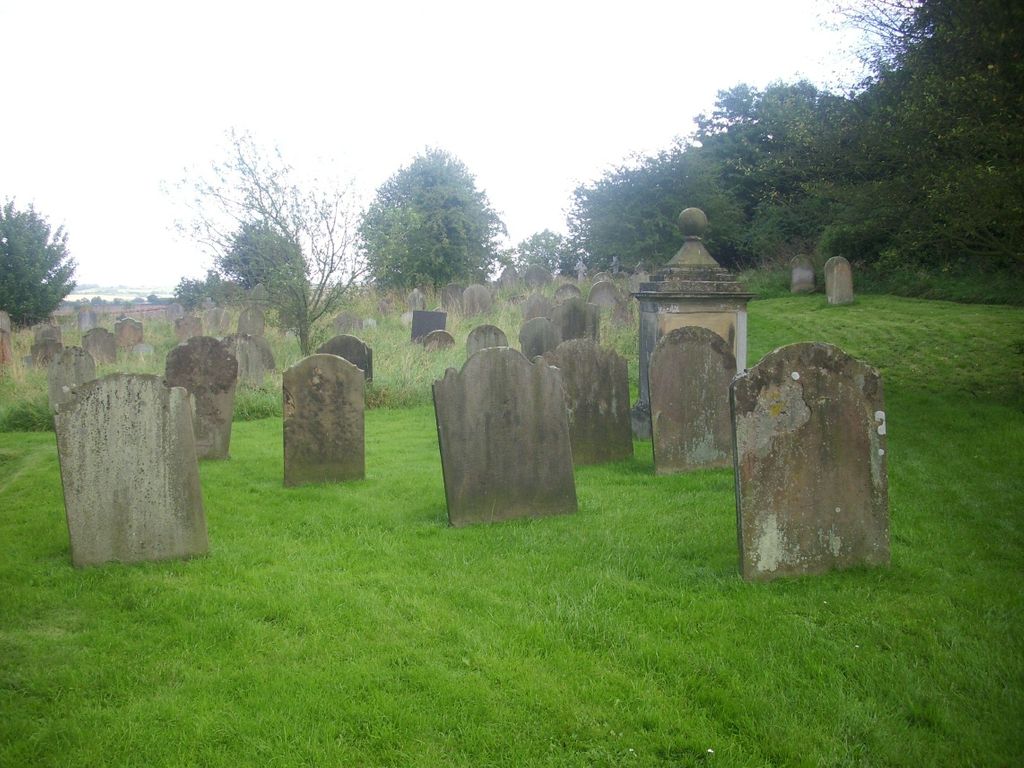
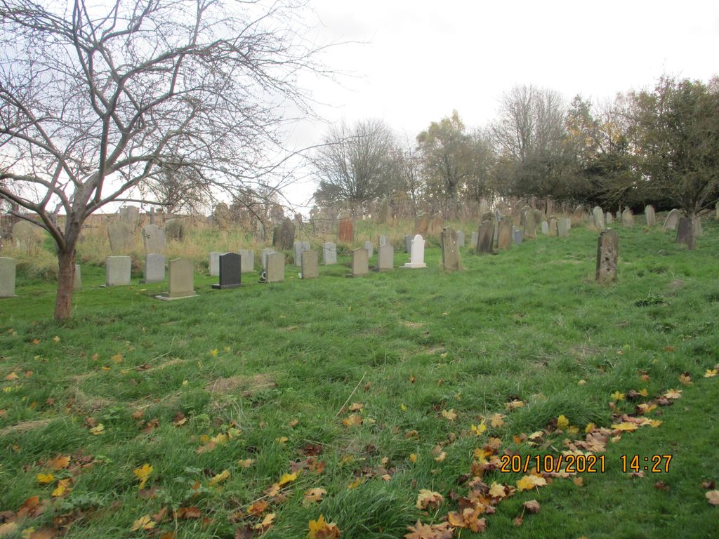
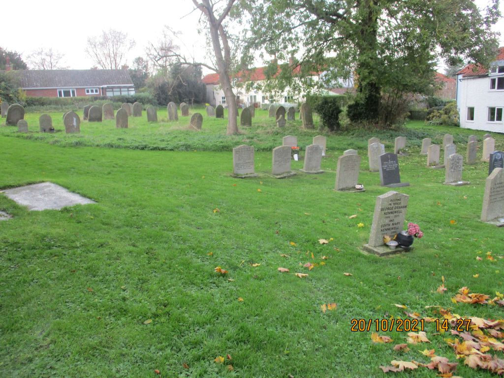
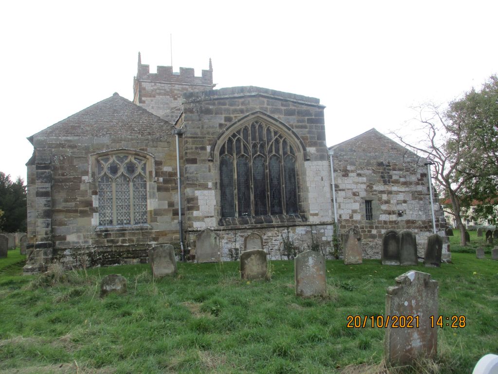
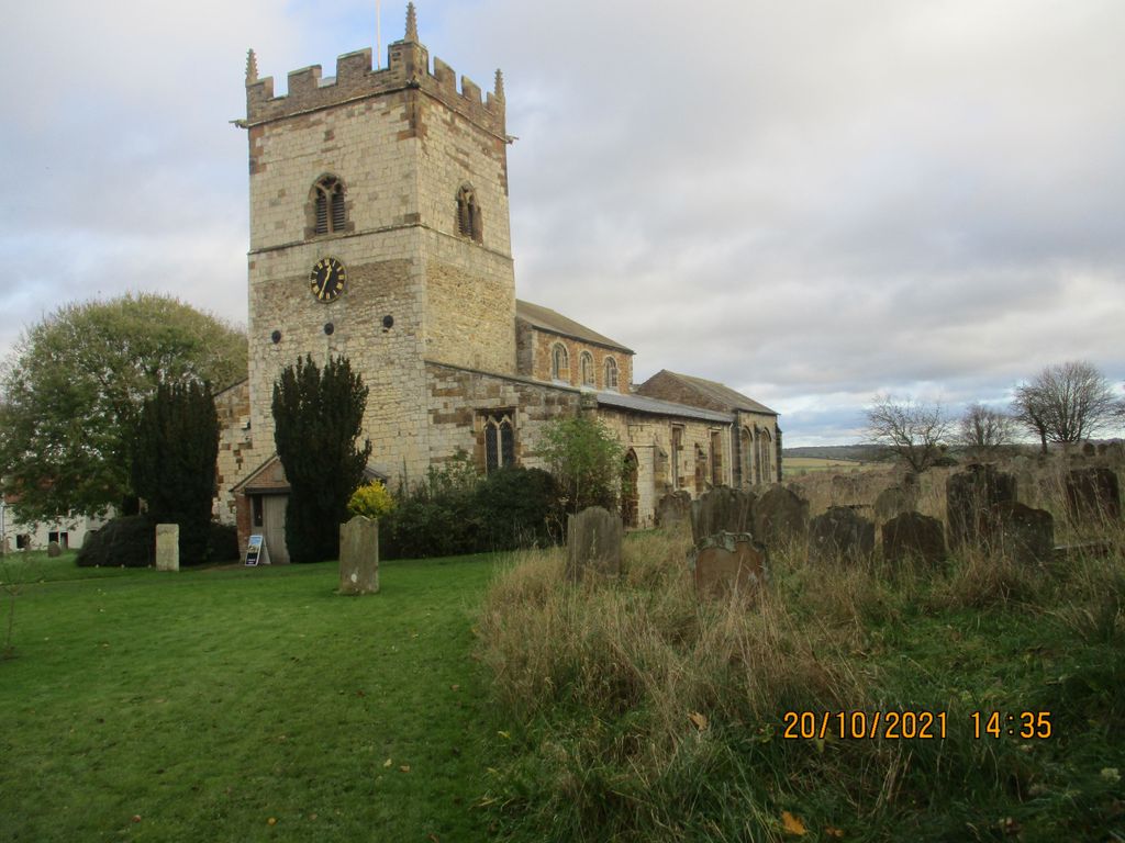
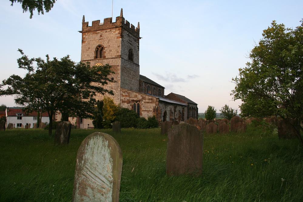
| Memorials | : | 11 |
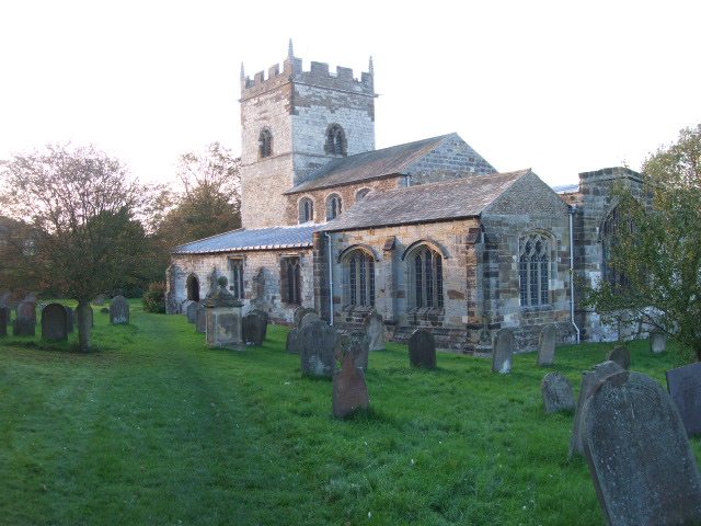
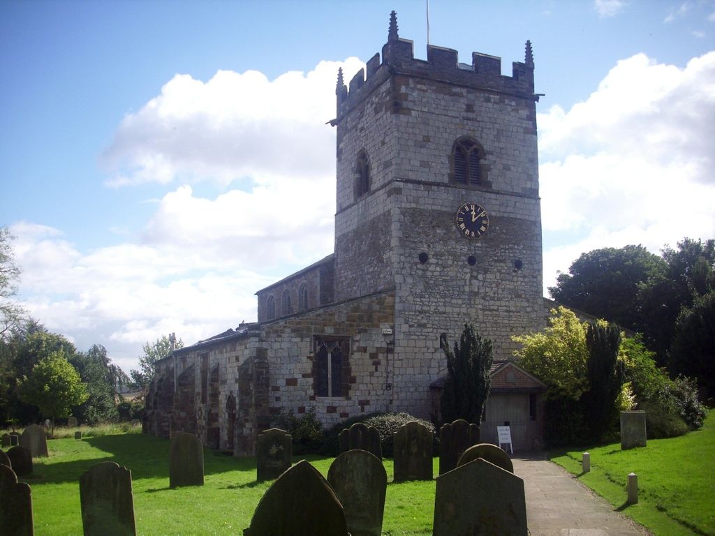
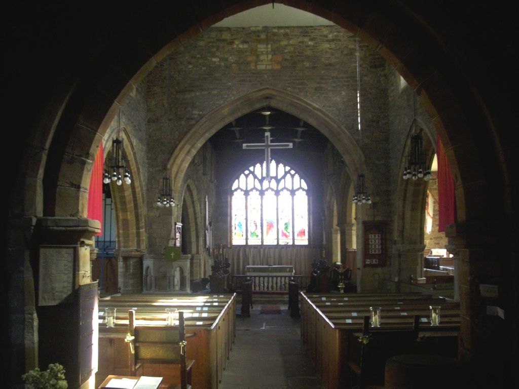
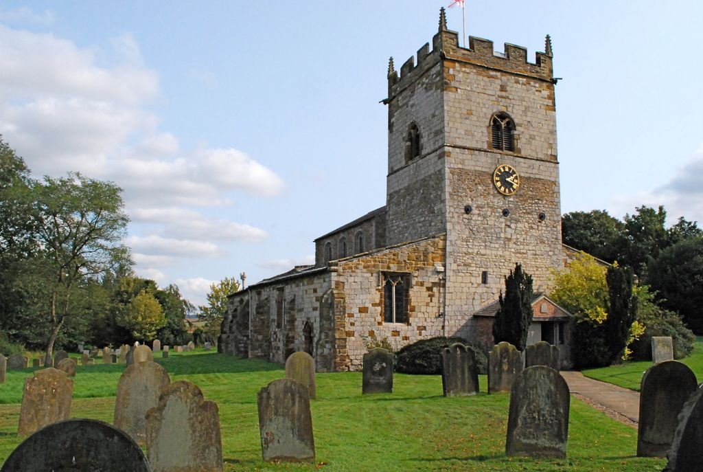
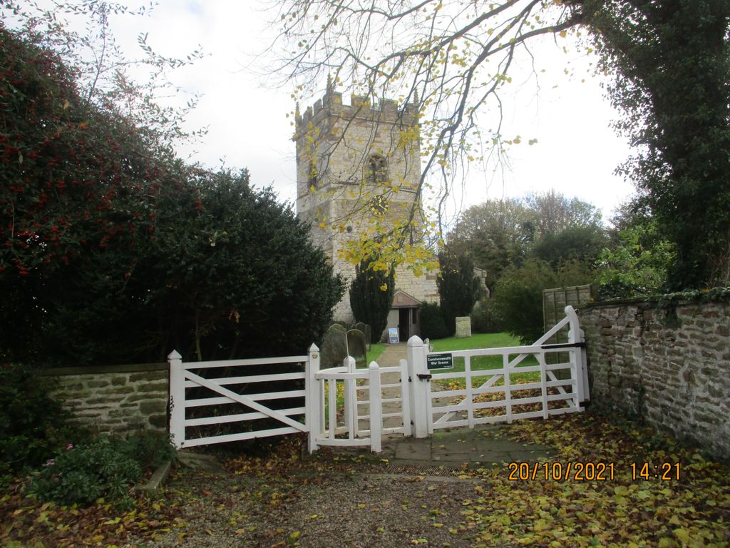
| Location | : | Sheriff Hutton, Ryedale District, England |
| Coordinate | : | 54.0882280, -0.9965280 |
frequently asked questions (FAQ):
-
Where is St Helen and the Holy Cross Churchyard?
St Helen and the Holy Cross Churchyard is located at Sheriff Hutton, Ryedale District ,North Yorkshire ,England.
-
St Helen and the Holy Cross Churchyard cemetery's updated grave count on graveviews.com?
11 memorials
-
Where are the coordinates of the St Helen and the Holy Cross Churchyard?
Latitude: 54.0882280
Longitude: -0.9965280
Nearby Cemetories:
1. Terrington Burial Ground
Terrington, Ryedale District, England
Coordinate: 54.1231640, -0.9717280
2. All Saints Churchyard
Foston, Ryedale District, England
Coordinate: 54.0775719, -0.9331510
3. St Martin Churchyard
Whenby, Hambleton District, England
Coordinate: 54.1202600, -1.0363700
4. St Martin Churchyard
Bulmer, Ryedale District, England
Coordinate: 54.0997510, -0.9317700
5. St Leonard Churchyard
Farlington, Hambleton District, England
Coordinate: 54.0999600, -1.0614900
6. All Saints Churchyard
Terrington, Ryedale District, England
Coordinate: 54.1282770, -0.9735330
7. St Lawrence Churchyard
Flaxton, Ryedale District, England
Coordinate: 54.0508680, -0.9624500
8. St Peter Churchyard
Dalby, Hambleton District, England
Coordinate: 54.1329290, -1.0262920
9. St Mary Churchyard
Marton-on-the Forest, Hambleton District, England
Coordinate: 54.1064900, -1.0807800
10. St Mary the Virgin Churchyard
Strensall, York Unitary Authority, England
Coordinate: 54.0389130, -1.0394910
11. St George the Martyr Churchyard
Scackleton, Ryedale District, England
Coordinate: 54.1457520, -1.0066750
12. St John the Evangelist Churchyard
Welburn (Malton), Ryedale District, England
Coordinate: 54.1008850, -0.8985440
13. St. Nicholas Churchyard
Stillington, Hambleton District, England
Coordinate: 54.1029710, -1.1098920
14. All Hallows Churchyard
Sutton-on-the-Forest, Hambleton District, England
Coordinate: 54.0746800, -1.1103500
15. Coneysthorpe Cemetery
Coneysthorpe, Ryedale District, England
Coordinate: 54.1308750, -0.9042820
16. St Michael Churchyard
Crambe, Ryedale District, England
Coordinate: 54.0744550, -0.8809390
17. Castle Howard Mausoleum
Castle Howard, Ryedale District, England
Coordinate: 54.1173870, -0.8886900
18. Kirkham Priory
Kirkham, Ryedale District, England
Coordinate: 54.0826180, -0.8768470
19. All Hallows Churchyard Extension Cemetery
Sutton-on-the-Forest, Hambleton District, England
Coordinate: 54.0757200, -1.1188700
20. All Saints Churchyard
Brandsby, Hambleton District, England
Coordinate: 54.1397200, -1.0853500
21. St Botolph Churchyard
Bossall, Ryedale District, England
Coordinate: 54.0375570, -0.9047540
22. St. Mary's Churchyard
Sand Hutton, Ryedale District, England
Coordinate: 54.0183800, -0.9410700
23. Howsham Churchyard
Howsham, Ryedale District, England
Coordinate: 54.0565520, -0.8755670
24. Haxby and Wigginton Cemetery
Haxby, York Unitary Authority, England
Coordinate: 54.0219200, -1.0808600