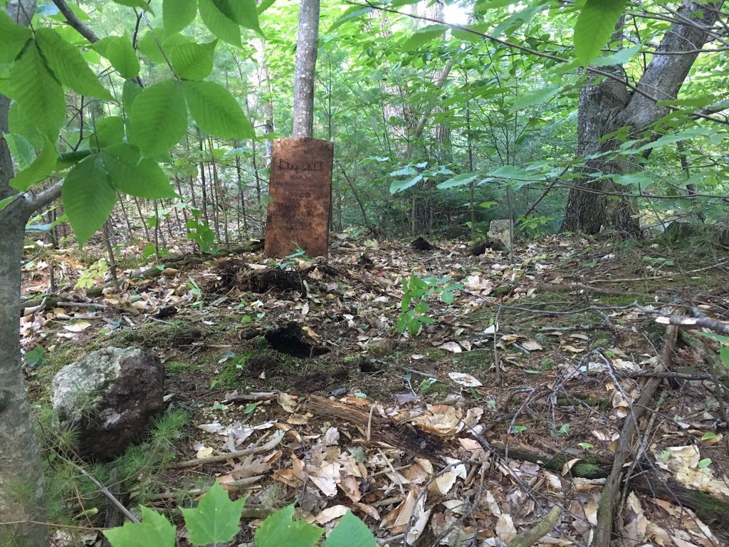
| Memorials | : | 0 |
| Location | : | Porter, Oxford County, USA |
| Coordinate | : | 43.8761200, -70.9606900 |
| Description | : | (While this cemetery can be accessed from Porter by ATV, these driving directions start in Brownfield. The dirt portion of Old County/Breakneck is not plowed in the winter and can be rough on regular cars even in the summer.) From its intersection with Phen Hill Road, drive south on Old County Road/Breakneck Hill Road 0.3 miles until it turns to dirt. Continue south almost one mile until the junction of Heath Road on the left (east). Park and walk east on Heath Road about 100 yards then head uphill to the south into the woods. The cemetery is not enclosed... Read More |
frequently asked questions (FAQ):
-
Where is Stanley Cemetery?
Stanley Cemetery is located at Porter, Oxford County ,Maine ,USA.
-
Stanley Cemetery cemetery's updated grave count on graveviews.com?
0 memorials
-
Where are the coordinates of the Stanley Cemetery?
Latitude: 43.8761200
Longitude: -70.9606900
Nearby Cemetories:
1. McCartee Cemetery
Porter, Oxford County, USA
Coordinate: 43.8844430, -70.9770440
2. Nathaniel Hill Cemetery
Brownfield, Oxford County, USA
Coordinate: 43.8926100, -70.9615000
3. Binford Cemetery
Brownfield, Oxford County, USA
Coordinate: 43.8936250, -70.9597380
4. Floyd-Pearl Cemetery
Porter, Oxford County, USA
Coordinate: 43.8627500, -70.9427500
5. Walker-Rounds Cemetery
Brownfield, Oxford County, USA
Coordinate: 43.8909100, -70.9765200
6. Johnson Cemetery
Brownfield, Oxford County, USA
Coordinate: 43.8880600, -70.9355600
7. Cole Cemetery
Brownfield, Oxford County, USA
Coordinate: 43.8956000, -70.9768700
8. Quint Cemetery
Brownfield, Oxford County, USA
Coordinate: 43.8984700, -70.9408400
9. Sargent-Rounds Cemetery
Porter, Oxford County, USA
Coordinate: 43.8794200, -70.9224200
10. Linscott Cemetery
Brownfield, Oxford County, USA
Coordinate: 43.8984500, -70.9886100
11. Floyd Cemetery
Porter, Oxford County, USA
Coordinate: 43.8494800, -70.9405900
12. Day-Stanley Cemetery
Porter, Oxford County, USA
Coordinate: 43.8457000, -70.9680300
13. Blake Cemetery
Brownfield, Oxford County, USA
Coordinate: 43.9063988, -70.9514008
14. Raffy-Foote Cemetery
Porter, Oxford County, USA
Coordinate: 43.8447400, -70.9697000
15. Sargent Cemetery
Porter, Oxford County, USA
Coordinate: 43.8487483, -70.9842183
16. Ricker Cemetery
Brownfield, Oxford County, USA
Coordinate: 43.9061540, -70.9425500
17. Porterfield Cemetery
Porterfield, Oxford County, USA
Coordinate: 43.8769700, -70.9130800
18. Roberts Cemetery
Porter, Oxford County, USA
Coordinate: 43.8465200, -70.9853400
19. Emery Cemetery
Porter, Oxford County, USA
Coordinate: 43.8410988, -70.9677963
20. Durgin-Walker Cemetery
Porter, Oxford County, USA
Coordinate: 43.8671600, -70.9117400
21. Sargent Cemetery
Freedom, Carroll County, USA
Coordinate: 43.8489000, -70.9943000
22. Gould Cemetery
Porter, Oxford County, USA
Coordinate: 43.8441700, -70.9358900
23. Fred Chapman Cemetery
Porter, Oxford County, USA
Coordinate: 43.8541600, -70.9178800
24. Kenneson Cemetery
Eaton, Carroll County, USA
Coordinate: 43.9014700, -70.9997600

