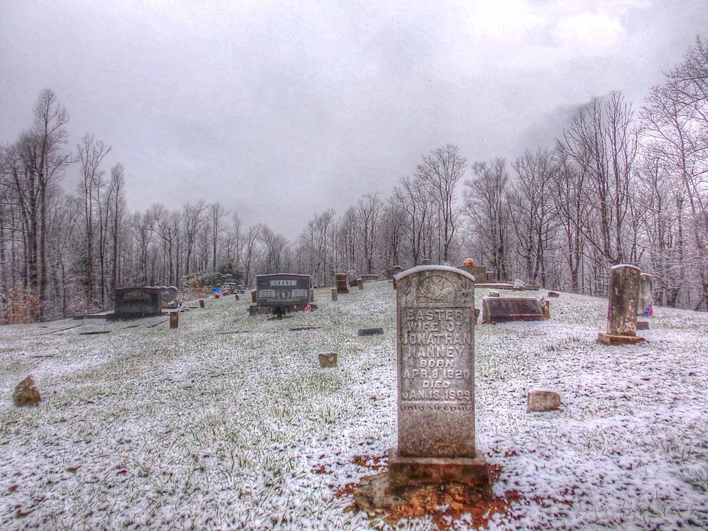
| Memorials | : | 5 |
| Location | : | Black Mountain, Buncombe County, USA |
| Coordinate | : | 35.5333400, -82.2301900 |
frequently asked questions (FAQ):
-
Where is Stone Mountain Missionary Baptist Church Cemetery?
Stone Mountain Missionary Baptist Church Cemetery is located at Old Fort Road Black Mountain, Buncombe County ,North Carolina ,USA.
-
Stone Mountain Missionary Baptist Church Cemetery cemetery's updated grave count on graveviews.com?
5 memorials
-
Where are the coordinates of the Stone Mountain Missionary Baptist Church Cemetery?
Latitude: 35.5333400
Longitude: -82.2301900
Nearby Cemetories:
1. Stroud Family Cemetery
Black Mountain, Buncombe County, USA
Coordinate: 35.5297330, -82.2538600
2. Red Top Cemetery
Buncombe County, USA
Coordinate: 35.5043000, -82.2269000
3. Ledbetter-Gilliam Family Cemetery
Buncombe County, USA
Coordinate: 35.5107630, -82.2584800
4. Gilliam Family Cemetery
Buncombe County, USA
Coordinate: 35.5114040, -82.2655770
5. Broad River Baptist Church Cemetery
Black Mountain, Buncombe County, USA
Coordinate: 35.5008300, -82.2689800
6. Ledbetter Family Cemetery
Black Mountain, Buncombe County, USA
Coordinate: 35.4992500, -82.2713700
7. Pine Cove Cemetery
McDowell County, USA
Coordinate: 35.5774994, -82.2063980
8. Old Broad River Cemetery
Black Mountain, Buncombe County, USA
Coordinate: 35.4894400, -82.2733280
9. Cherry Springs Memorial Park
Old Fort, McDowell County, USA
Coordinate: 35.5807040, -82.1904930
10. Wilkey Baptist Church Cemetery
Buncombe County, USA
Coordinate: 35.5675350, -82.2870830
11. Laurel Springs Baptist Church Cemetery
Fairview, Buncombe County, USA
Coordinate: 35.5235600, -82.3001100
12. Bethel United Methodist Church
Old Fort, McDowell County, USA
Coordinate: 35.5816020, -82.1905890
13. Nesbitt Chapel Cemetery
Fairview, Buncombe County, USA
Coordinate: 35.5368004, -82.3066025
14. Davistown Cemetery
Old Fort, McDowell County, USA
Coordinate: 35.5661011, -82.1632996
15. Bald Mountain Baptist Church Cemetery
Buncombe County, USA
Coordinate: 35.4703690, -82.2637050
16. Noblitt Graveyard
McDowell County, USA
Coordinate: 35.5690890, -82.1534230
17. Searcy Family Cemetery
Henderson County, USA
Coordinate: 35.4708150, -82.2826950
18. Friendship Baptist Church Cemetery
McDowell County, USA
Coordinate: 35.5919283, -82.1710428
19. Friendship Baptist Church Cemetery
Old Fort, McDowell County, USA
Coordinate: 35.5919283, -82.1710428
20. Chestnut Hill Baptist Church Cemetery
Fairview, Buncombe County, USA
Coordinate: 35.5567000, -82.3204000
21. Buffalo Cemetery
Lake Lure, Rutherford County, USA
Coordinate: 35.4611250, -82.1910620
22. Fairfield Mountains Chapel Columbarium
Lake Lure, Rutherford County, USA
Coordinate: 35.4612430, -82.1878700
23. Green Knob Cemetery - Old Fort
McDowell County, USA
Coordinate: 35.6071950, -82.1803820
24. Old Fort Free Will Baptist Church Cemetery
McDowell County, USA
Coordinate: 35.6075010, -82.1806430


