
| Memorials | : | 0 |
| Location | : | Buncombe County, USA |
| Coordinate | : | 35.5107630, -82.2584800 |
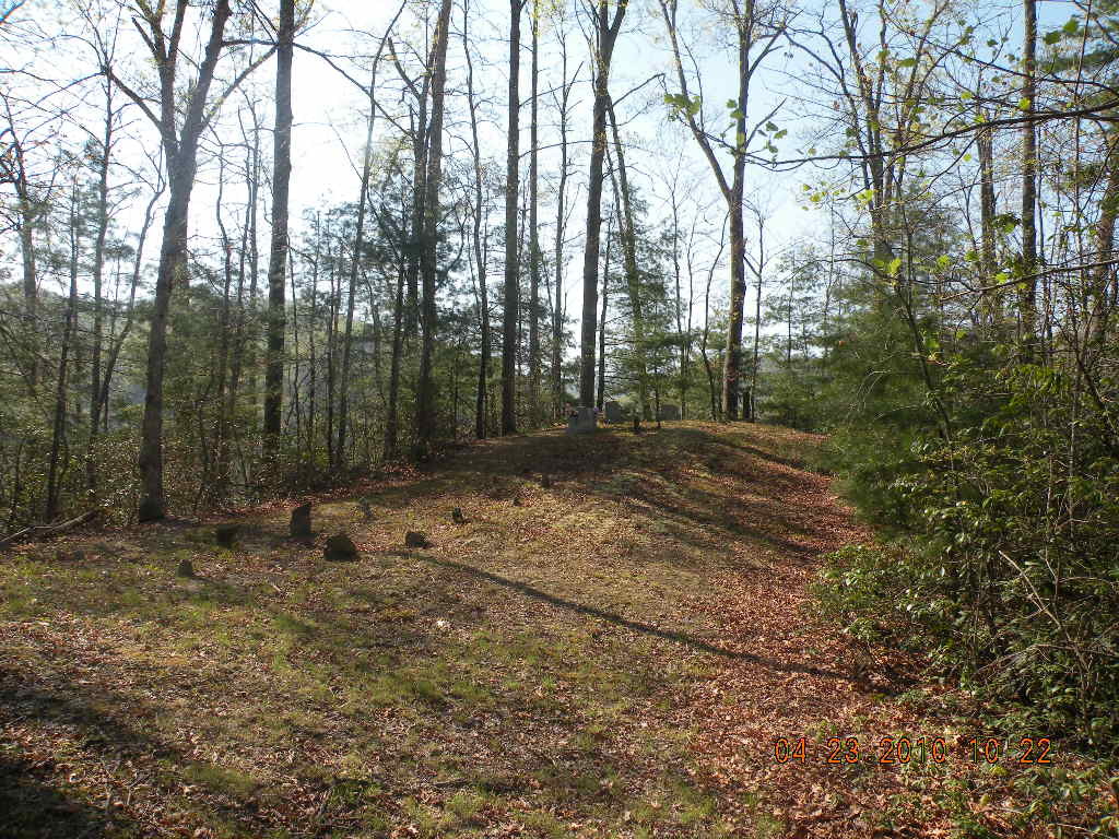
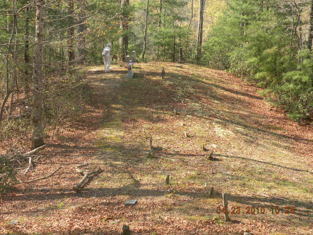
| Description | : | This is a private family cemetery that is well maintained. It is located off N.C. # 9 south from Black Mountain. As you travel south on #9 from Black Mountain, (approx. 10 miles) you will pass the first turn off onto Rock Creek Road. Continue on #9 south approx. 1 mile to the second intersection of Rock Creek Road. Adjacent to Rock Creek Road is a driveway that looks like a logging road. This is the driveway to the cemetery on the top of the knoll. The cemetery overlooks the Broad River Fire Department which is located on Rock... Read More |
frequently asked questions (FAQ):
-
Where is Ledbetter-Gilliam Family Cemetery?
Ledbetter-Gilliam Family Cemetery is located at N.C. # 9 Buncombe County ,North Carolina , 28711USA.
-
Ledbetter-Gilliam Family Cemetery cemetery's updated grave count on graveviews.com?
0 memorials
-
Where are the coordinates of the Ledbetter-Gilliam Family Cemetery?
Latitude: 35.5107630
Longitude: -82.2584800
Nearby Cemetories:
1. Gilliam Family Cemetery
Buncombe County, USA
Coordinate: 35.5114040, -82.2655770
2. Broad River Baptist Church Cemetery
Black Mountain, Buncombe County, USA
Coordinate: 35.5008300, -82.2689800
3. Ledbetter Family Cemetery
Black Mountain, Buncombe County, USA
Coordinate: 35.4992500, -82.2713700
4. Stroud Family Cemetery
Black Mountain, Buncombe County, USA
Coordinate: 35.5297330, -82.2538600
5. Old Broad River Cemetery
Black Mountain, Buncombe County, USA
Coordinate: 35.4894400, -82.2733280
6. Red Top Cemetery
Buncombe County, USA
Coordinate: 35.5043000, -82.2269000
7. Stone Mountain Missionary Baptist Church Cemetery
Black Mountain, Buncombe County, USA
Coordinate: 35.5333400, -82.2301900
8. Laurel Springs Baptist Church Cemetery
Fairview, Buncombe County, USA
Coordinate: 35.5235600, -82.3001100
9. Bald Mountain Baptist Church Cemetery
Buncombe County, USA
Coordinate: 35.4703690, -82.2637050
10. Searcy Family Cemetery
Henderson County, USA
Coordinate: 35.4708150, -82.2826950
11. Nesbitt Chapel Cemetery
Fairview, Buncombe County, USA
Coordinate: 35.5368004, -82.3066025
12. Hill Cemetery
Bat Cave, Henderson County, USA
Coordinate: 35.4608002, -82.2960968
13. Wilkey Baptist Church Cemetery
Buncombe County, USA
Coordinate: 35.5675350, -82.2870830
14. Conner Cemetery
Bat Cave, Henderson County, USA
Coordinate: 35.4575005, -82.2981033
15. Episcopal Church of the Transfiguration Cemetery
Bat Cave, Henderson County, USA
Coordinate: 35.4501200, -82.2800600
16. Bat Cave Baptist Church Cemetery
Bat Cave, Henderson County, USA
Coordinate: 35.4503420, -82.2892850
17. Chestnut Hill Baptist Church Cemetery
Fairview, Buncombe County, USA
Coordinate: 35.5567000, -82.3204000
18. East of Gerton
Gerton, Henderson County, USA
Coordinate: 35.4773890, -82.3387500
19. Buffalo Cemetery
Lake Lure, Rutherford County, USA
Coordinate: 35.4611250, -82.1910620
20. Fairfield Mountains Chapel Columbarium
Lake Lure, Rutherford County, USA
Coordinate: 35.4612430, -82.1878700
21. Chimney Rock Baptist Church Cemetery
Lake Lure, Rutherford County, USA
Coordinate: 35.4382380, -82.2301020
22. Edney Family Cemetery
Bat Cave, Henderson County, USA
Coordinate: 35.4403960, -82.2958910
23. Barnwell Baptist Church Cemetery
Henderson County, USA
Coordinate: 35.4483000, -82.3164700
24. Pine Cove Cemetery
McDowell County, USA
Coordinate: 35.5774994, -82.2063980