
| Memorials | : | 0 |
| Location | : | Nes, Ringsaker kommune, Norway |
| Coordinate | : | 60.7625700, 10.9429500 |
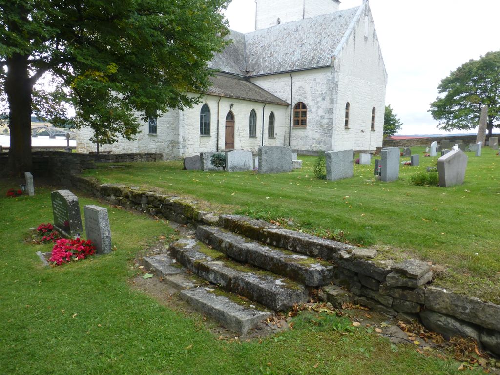
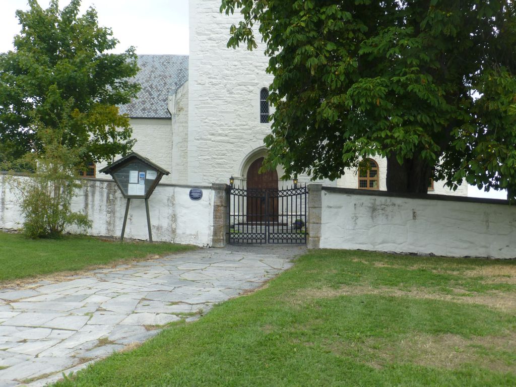
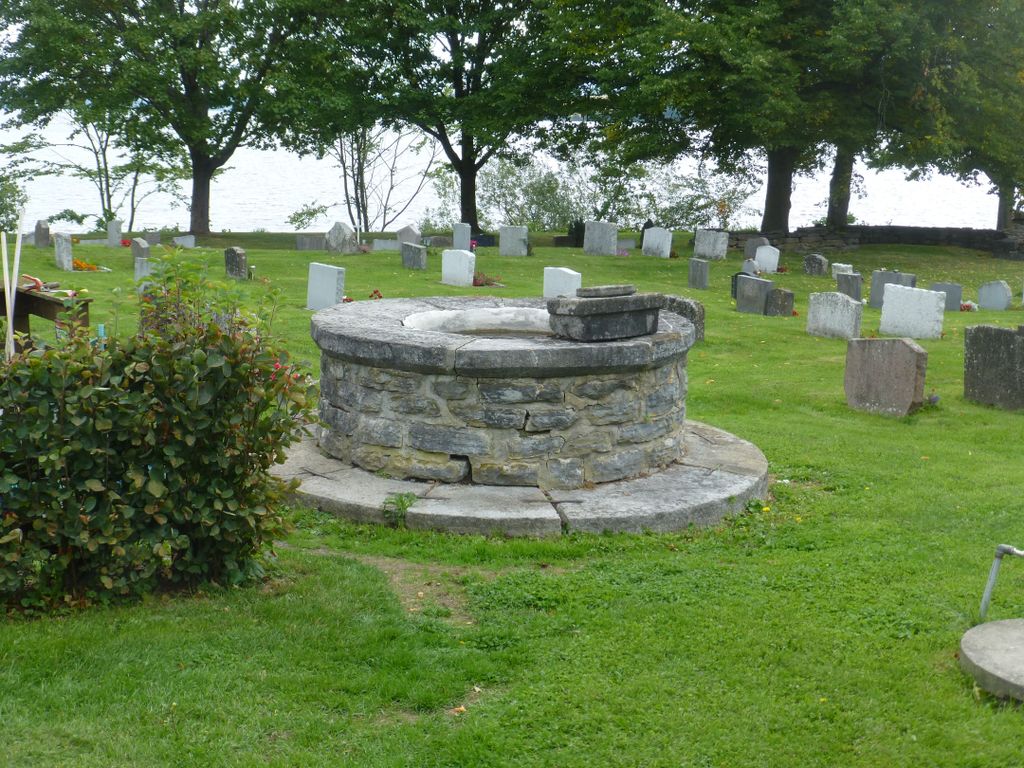
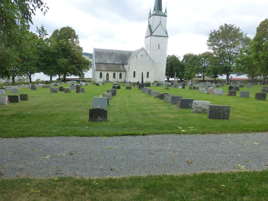
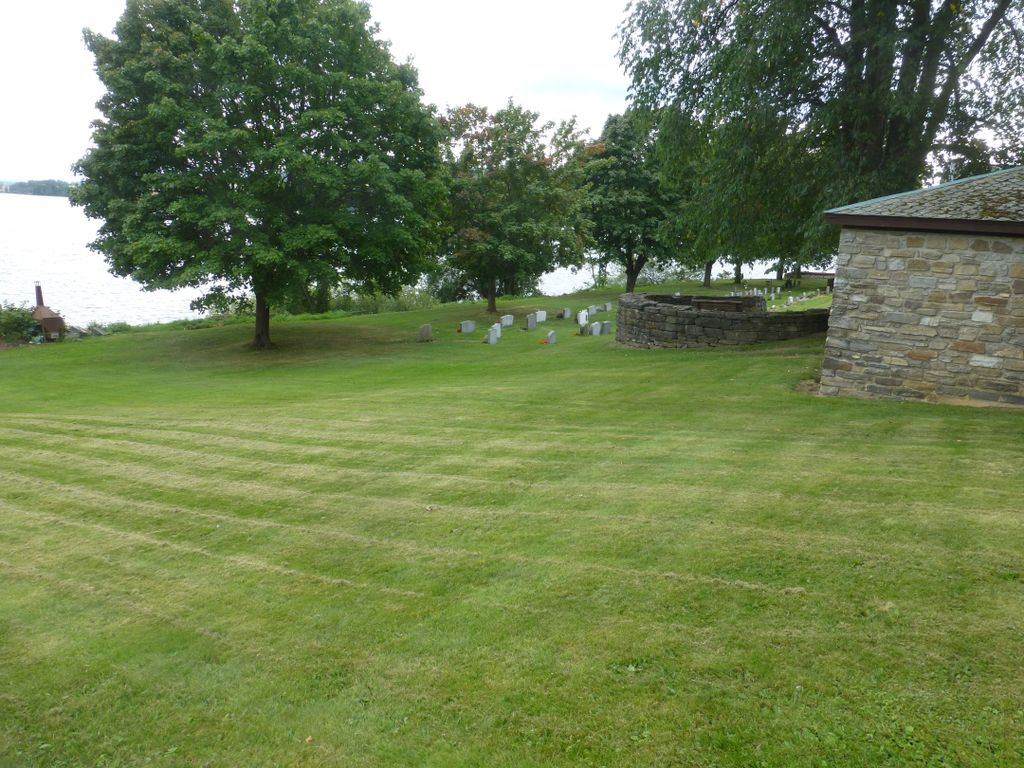
| Description | : | Nes church and cemetery are located at the outer edge of a promontory, where Neshalvøya ends in Mjøsa - Norway's largest lake. The original name of Nes church is Ullinshov church, which was built before 1250. The first time Nes church was mentioned in written sources, was in 1284. Later, Ullinshov church and vicarage are mentioned several times both in the 13th, 14th and 1500s. If there has been a cemetery if there has been church here I do not know. In 1698, Major General C.C. Brockenhuus at Hovinsholm permission to build... Read More |
frequently asked questions (FAQ):
-
Where is Nes kirkegård?
Nes kirkegård is located at Bryggevegen 3 Nes, Ringsaker kommune ,Hedmark fylke , 2350Norway.
-
Nes kirkegård cemetery's updated grave count on graveviews.com?
0 memorials
-
Where are the coordinates of the Nes kirkegård?
Latitude: 60.7625700
Longitude: 10.9429500
Nearby Cemetories:
1. Helgøya kirkegård
Nes, Ringsaker kommune, Norway
Coordinate: 60.7446645, 10.9585367
2. Hamar Kirkegaard
Hamar, Hamar kommune, Norway
Coordinate: 60.7991950, 11.0698420
3. Hol Cemetery
Hamar, Hamar kommune, Norway
Coordinate: 60.8154900, 11.0450600
4. Nordli Cemetery
Nordlia, Østre Toten kommune, Norway
Coordinate: 60.7432240, 10.7695170
5. Furnes kirkegård
Furnes, Ringsaker kommune, Norway
Coordinate: 60.8406000, 11.0217000
6. Hoff Church Cemetery
Lena, Østre Toten kommune, Norway
Coordinate: 60.6847580, 10.8444930
7. Balke Kirkegaard
Skreia, Østre Toten kommune, Norway
Coordinate: 60.6681415, 10.9499695
8. Ottestad kirkegård
Ottestad, Stange kommune, Norway
Coordinate: 60.7573100, 11.1447300
9. Stange Church Cemetery
Stange, Stange kommune, Norway
Coordinate: 60.7098210, 11.1373780
10. Gjøvik gravlund
Gjøvik, Gjøvik kommune, Norway
Coordinate: 60.7880340, 10.6986880
11. Brumunddal kirkegård
Brumunddal, Ringsaker kommune, Norway
Coordinate: 60.8845300, 10.9528000
12. Hunn gravlund
Gjøvik, Gjøvik kommune, Norway
Coordinate: 60.8019010, 10.6734890
13. Aas Churchyard
Raufoss, Vestre Toten kommune, Norway
Coordinate: 60.6693210, 10.6990180
14. Øvre Vang kirkegård
Hamar, Hamar kommune, Norway
Coordinate: 60.8458900, 11.2043400
15. Romedal Kirkegård
Romedal, Stange kommune, Norway
Coordinate: 60.7517000, 11.2614400
16. Veldre kirkegård
Veldre, Ringsaker kommune, Norway
Coordinate: 60.9172800, 10.8907600
17. Kolbu Kirke Churchyard
Østre Toten kommune, Norway
Coordinate: 60.6293210, 10.7737690
18. Ringsaker kirkegård
Moelv, Ringsaker kommune, Norway
Coordinate: 60.9031110, 10.7242950
19. Løten Kirke Cemetery
Loten, Løten kommune, Norway
Coordinate: 60.8268950, 11.3172070
20. Vallset kirkegård
Stange, Stange kommune, Norway
Coordinate: 60.7012600, 11.3286000
21. Vardal kirkegård
Bybrua, Gjøvik kommune, Norway
Coordinate: 60.8161530, 10.5234840
22. Tangen kirkegård
Stange, Stange kommune, Norway
Coordinate: 60.6167300, 11.2653600
23. Biri kirkegård
Biri, Gjøvik kommune, Norway
Coordinate: 60.9588990, 10.6018850
24. Åsmarka kirkegård
Åsmarka, Ringsaker kommune, Norway
Coordinate: 61.0117202, 10.7800753