
| Memorials | : | 0 |
| Location | : | Furnes, Ringsaker kommune, Norway |
| Coordinate | : | 60.8406000, 11.0217000 |
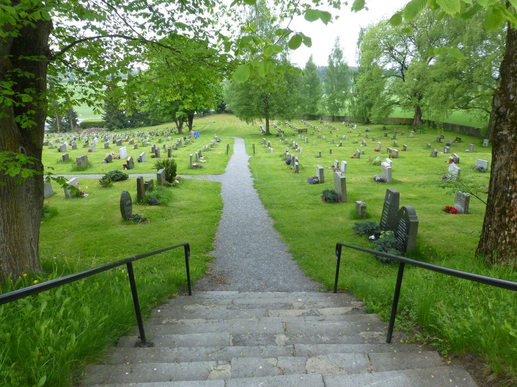
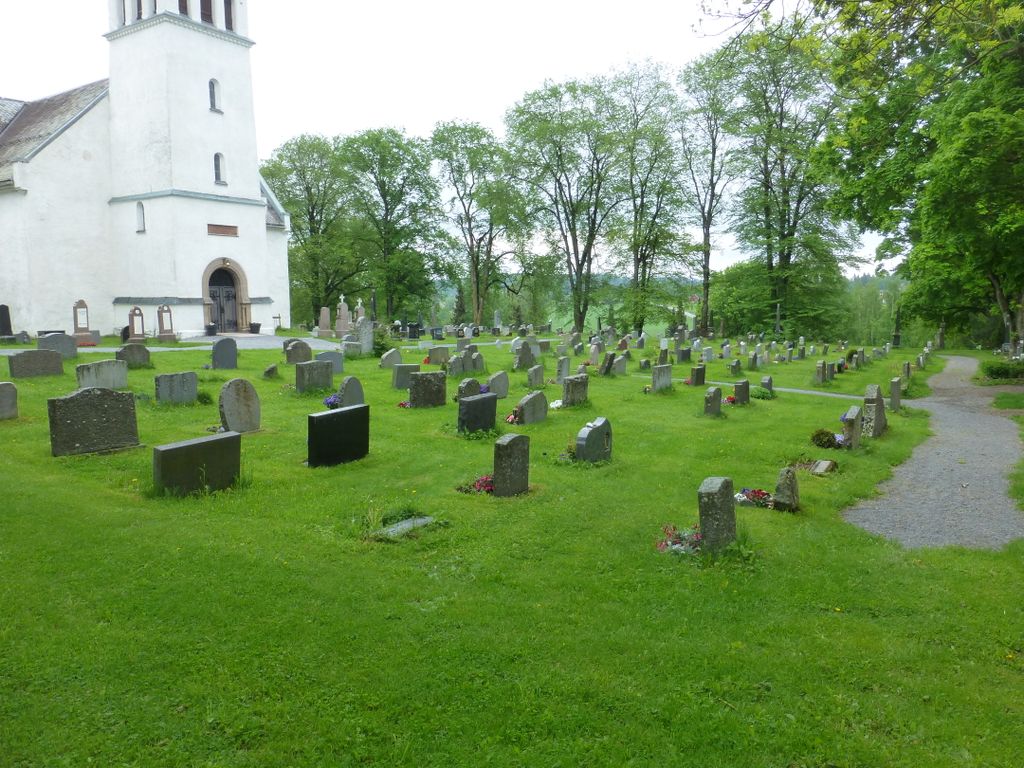
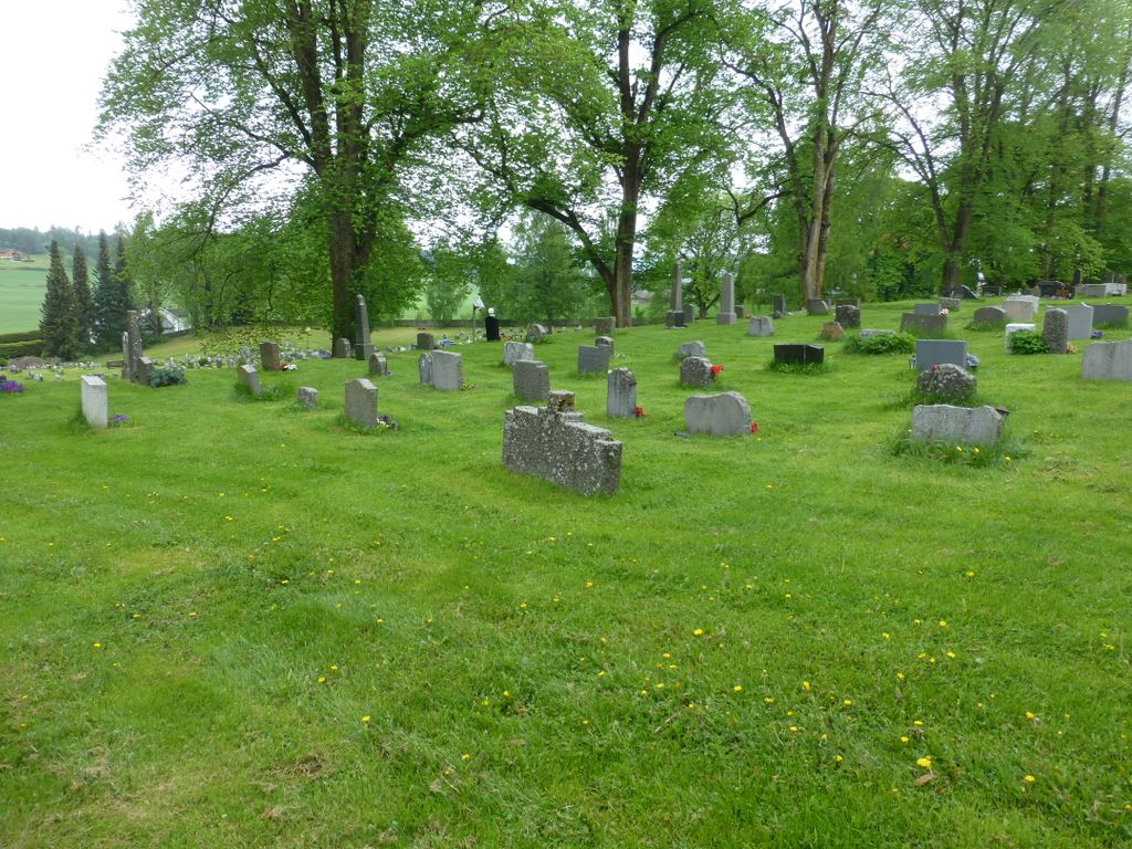
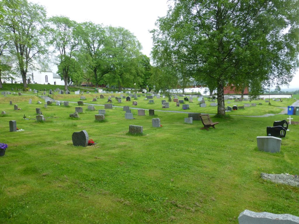
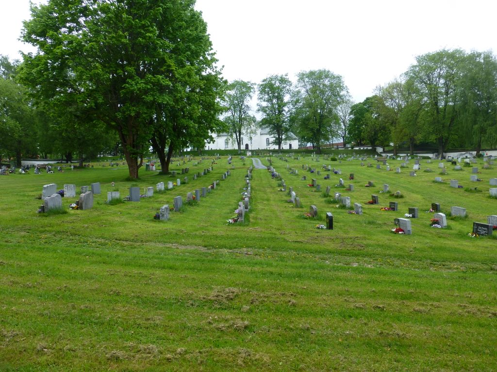
| Description | : | A former church in Furnes was Deglumkirken - a bishop’s visitation took place there in 1594 by Bishop Jens Nilssøn. This church was about where the main building on the farm Stor-Deglum is today, and the old burial ground is still in the garden and by the closest ground to the south. The present church was built "instead of the dilapidated wooden church, where the graves were most full of water". It was decided to put the new church and cemetery in a "dry and comfortable place" This place was about 120... Read More |
frequently asked questions (FAQ):
-
Where is Furnes kirkegård?
Furnes kirkegård is located at Frøbergvegen 370 Furnes, Ringsaker kommune ,Hedmark fylke , 2320Norway.
-
Furnes kirkegård cemetery's updated grave count on graveviews.com?
0 memorials
-
Where are the coordinates of the Furnes kirkegård?
Latitude: 60.8406000
Longitude: 11.0217000
Nearby Cemetories:
1. Hol Cemetery
Hamar, Hamar kommune, Norway
Coordinate: 60.8154900, 11.0450600
2. Hamar Kirkegaard
Hamar, Hamar kommune, Norway
Coordinate: 60.7991950, 11.0698420
3. Brumunddal kirkegård
Brumunddal, Ringsaker kommune, Norway
Coordinate: 60.8845300, 10.9528000
4. Nes kirkegård
Nes, Ringsaker kommune, Norway
Coordinate: 60.7625700, 10.9429500
5. Øvre Vang kirkegård
Hamar, Hamar kommune, Norway
Coordinate: 60.8458900, 11.2043400
6. Veldre kirkegård
Veldre, Ringsaker kommune, Norway
Coordinate: 60.9172800, 10.8907600
7. Helgøya kirkegård
Nes, Ringsaker kommune, Norway
Coordinate: 60.7446645, 10.9585367
8. Ottestad kirkegård
Ottestad, Stange kommune, Norway
Coordinate: 60.7573100, 11.1447300
9. Stange Church Cemetery
Stange, Stange kommune, Norway
Coordinate: 60.7098210, 11.1373780
10. Løten Kirke Cemetery
Loten, Løten kommune, Norway
Coordinate: 60.8268950, 11.3172070
11. Romedal Kirkegård
Romedal, Stange kommune, Norway
Coordinate: 60.7517000, 11.2614400
12. Nordli Cemetery
Nordlia, Østre Toten kommune, Norway
Coordinate: 60.7432240, 10.7695170
13. Ringsaker kirkegård
Moelv, Ringsaker kommune, Norway
Coordinate: 60.9031110, 10.7242950
14. Gjøvik gravlund
Gjøvik, Gjøvik kommune, Norway
Coordinate: 60.7880340, 10.6986880
15. Hunn gravlund
Gjøvik, Gjøvik kommune, Norway
Coordinate: 60.8019010, 10.6734890
16. Balke Kirkegaard
Skreia, Østre Toten kommune, Norway
Coordinate: 60.6681415, 10.9499695
17. Hoff Church Cemetery
Lena, Østre Toten kommune, Norway
Coordinate: 60.6847580, 10.8444930
18. Vallset kirkegård
Stange, Stange kommune, Norway
Coordinate: 60.7012600, 11.3286000
19. Åsmarka kirkegård
Åsmarka, Ringsaker kommune, Norway
Coordinate: 61.0117202, 10.7800753
20. Aas Churchyard
Raufoss, Vestre Toten kommune, Norway
Coordinate: 60.6693210, 10.6990180
21. Biri kirkegård
Biri, Gjøvik kommune, Norway
Coordinate: 60.9588990, 10.6018850
22. Kolbu Kirke Churchyard
Østre Toten kommune, Norway
Coordinate: 60.6293210, 10.7737690
23. Vardal kirkegård
Bybrua, Gjøvik kommune, Norway
Coordinate: 60.8161530, 10.5234840
24. Tangen kirkegård
Stange, Stange kommune, Norway
Coordinate: 60.6167300, 11.2653600