| Memorials | : | 2 |
| Location | : | Bedale, Hambleton District, England |
| Coordinate | : | 54.2631350, -1.6050920 |
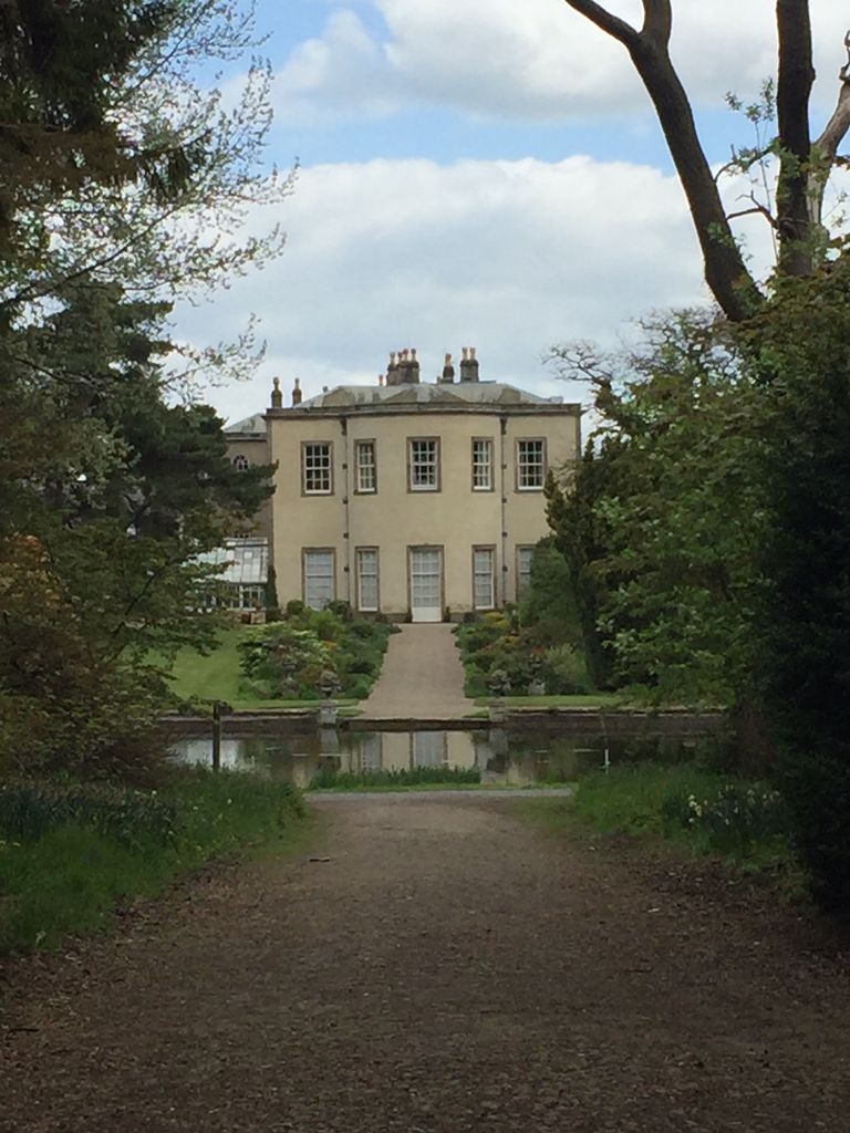
| Description | : | Originally known as Thorp (a once common village name meaning hamlet or small village), it most proably gets its name from being owned by Helewise de Perrow who was an early landowner during the 13th century.[1] The Arboretum was originally created by Colonel Sir Leonard Ropner (1895–1977) [2] in 1931. It currently contains numerous gardens founded by Leonard Ropner, some Milbank Pinetum planted by Lady Augusta Milbank during the nineteenth century and a medieval Spring Wood dates back to the 16th century.[3] Today the Thorp Perrow estate is considered to be one of the finest Arboretums (a collections of trees and... Read More |
frequently asked questions (FAQ):
-
Where is Thorp Perrow Pet Cemetery?
Thorp Perrow Pet Cemetery is located at Bedale, Hambleton District ,North Yorkshire ,England.
-
Thorp Perrow Pet Cemetery cemetery's updated grave count on graveviews.com?
2 memorials
-
Where are the coordinates of the Thorp Perrow Pet Cemetery?
Latitude: 54.2631350
Longitude: -1.6050920
Nearby Cemetories:
1. St. Mary's Chapel Snape Castle
Snape, Hambleton District, England
Coordinate: 54.2544470, -1.5991790
2. St Mary Chapel
Snape, Hambleton District, England
Coordinate: 54.2543950, -1.5991040
3. St Mary Churchyard
Thornton Watlass, Hambleton District, England
Coordinate: 54.2627000, -1.6445300
4. St. Gregory Churchyard
Bedale, Hambleton District, England
Coordinate: 54.2911330, -1.5936010
5. St Michael Churchyard
Well, Hambleton District, England
Coordinate: 54.2334600, -1.5900500
6. St Gregory Churchyard
Crakehall, Hambleton District, England
Coordinate: 54.3046690, -1.6255660
7. St Lambert Churchyard
Burneston, Hambleton District, England
Coordinate: 54.2592940, -1.5273040
8. Crakehall and Langthorne Cemetery
Crakehall, Hambleton District, England
Coordinate: 54.3086800, -1.6272800
9. St John the Baptist Churchyard
Leeming, Hambleton District, England
Coordinate: 54.2990400, -1.5497100
10. St. Mary the Virgin Churchyard
Masham, Harrogate Borough, England
Coordinate: 54.2212500, -1.6538320
11. Low Ellington Friends Burial Ground
Harrogate Borough, England
Coordinate: 54.2488730, -1.6896440
12. West Tanfield Methodist Chapelyard
West Tanfield, Hambleton District, England
Coordinate: 54.2065210, -1.5904340
13. St Patrick Churchyard
Patrick Brompton, Richmondshire District, England
Coordinate: 54.3112400, -1.6647300
14. St. Nicholas' Churchyard
West Tanfield, Hambleton District, England
Coordinate: 54.2036840, -1.5906360
15. St Michael Churchyard
Kirklington, Hambleton District, England
Coordinate: 54.2242770, -1.5126140
16. St. Andrew's Churchyard
Finghall, Richmondshire District, England
Coordinate: 54.3068300, -1.7085500
17. St Radegund Churchyard
Scruton, Hambleton District, England
Coordinate: 54.3275320, -1.5398210
18. St John the Evangelist Churchyard
Mickley, Harrogate Borough, England
Coordinate: 54.1878300, -1.6117000
19. St Andrew Churchyard
Great Fencote, Hambleton District, England
Coordinate: 54.3366300, -1.5662200
20. Jervaulx Abbey
East Witton, Richmondshire District, England
Coordinate: 54.2670280, -1.7379870
21. St Mary the Virgin Churchyard
North Stainley, Harrogate Borough, England
Coordinate: 54.1881600, -1.5627900
22. St. Paul's Churchyard
Healey, Harrogate Borough, England
Coordinate: 54.2211220, -1.7208450
23. St. Oswald's Churchyard
Thornton Steward, Richmondshire District, England
Coordinate: 54.2776700, -1.7398000
24. All Saints Churchyard
Pickhill, Hambleton District, England
Coordinate: 54.2470500, -1.4700700

