
| Memorials | : | 1 |
| Location | : | Sugar Creek Township, Putnam County, USA |
| Coordinate | : | 40.8875008, -84.2181015 |
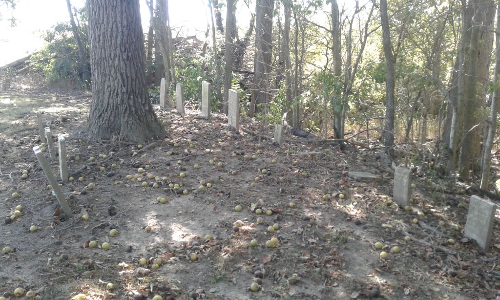
| Description | : | The cemetery is on the west side of County Road 18S about 0.25 miles north of its intersection with Ohio State Route 189. The cemetery is located in Sugar Creek Township, Putnam County, Ohio, and is # 10158 (Carnes Cemetery / Keirns Cemetery) in “Ohio Cemeteries 1803-2003”, compiled by the Ohio Genealogical Society. The U.S. Geological Survey (USGS) Geographic Names Information System (GNIS) feature ID for the cemetery is 1070799 (Keirns Cemetery). |
frequently asked questions (FAQ):
-
Where is Keirns Cemetery?
Keirns Cemetery is located at County Road 18S Sugar Creek Township, Putnam County ,Ohio , 45844USA.
-
Keirns Cemetery cemetery's updated grave count on graveviews.com?
1 memorials
-
Where are the coordinates of the Keirns Cemetery?
Latitude: 40.8875008
Longitude: -84.2181015
Nearby Cemetories:
1. Ottawa River Cemetery
Rimer, Putnam County, USA
Coordinate: 40.9061012, -84.2080994
2. Carmen Cemetery
Gomer, Allen County, USA
Coordinate: 40.8531380, -84.2118660
3. Reynolds Cemetery
Sugar Creek Township, Putnam County, USA
Coordinate: 40.9232940, -84.1986030
4. Raabe Cemetery
Fort Jennings, Putnam County, USA
Coordinate: 40.8993988, -84.2789001
5. Vaughnsville Cemetery
Vaughnsville, Putnam County, USA
Coordinate: 40.8754275, -84.1505957
6. Hadding Cemetery
Gomer, Allen County, USA
Coordinate: 40.8319016, -84.2035980
7. Pike Run Cemetery
Gomer, Allen County, USA
Coordinate: 40.8432999, -84.1669006
8. Saint Joseph Cemetery
Fort Jennings, Putnam County, USA
Coordinate: 40.9056015, -84.2928009
9. Mount Calvary Cemetery
Fort Jennings, Putnam County, USA
Coordinate: 40.8986015, -84.3035965
10. New Saint John's Catholic Cemetery
Delphos, Allen County, USA
Coordinate: 40.8451390, -84.2889380
11. Hartshorn Cemetery
Allen County, USA
Coordinate: 40.8424988, -84.2908020
12. Hughes Cemetery
Union Township, Putnam County, USA
Coordinate: 40.9458008, -84.1616974
13. Salem Mennonite Cemetery
Elida, Allen County, USA
Coordinate: 40.8171220, -84.1851000
14. Martz Cemetery
Cairo, Allen County, USA
Coordinate: 40.8485170, -84.1280870
15. Walnut Grove Cemetery
Delphos, Allen County, USA
Coordinate: 40.8300018, -84.2906036
16. Clevenger Cemetery
Kalida, Putnam County, USA
Coordinate: 40.9679460, -84.1857790
17. Oard Cemetery
West Cairo, Allen County, USA
Coordinate: 40.8326550, -84.1305760
18. Doner Cemetery
Elida, Allen County, USA
Coordinate: 40.7951330, -84.2277470
19. King Cemetery
Marion Township, Allen County, USA
Coordinate: 40.8060989, -84.2869034
20. Ridenour Cemetery
Vaughnsville, Putnam County, USA
Coordinate: 40.8140840, -84.1346380
21. Ridenour Family Cemetery
Allen County, USA
Coordinate: 40.8140750, -84.1346490
22. Union Township Cemetery
Kalida, Putnam County, USA
Coordinate: 40.9843500, -84.2110400
23. Saint John's Catholic Cemetery
Delphos, Allen County, USA
Coordinate: 40.8423620, -84.3319580
24. Saint Michaels Cemetery
Kalida, Putnam County, USA
Coordinate: 40.9846992, -84.2102966