
| Memorials | : | 45 |
| Location | : | Ottoville, Putnam County, USA |
| Coordinate | : | 40.9261017, -84.3399963 |
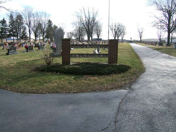
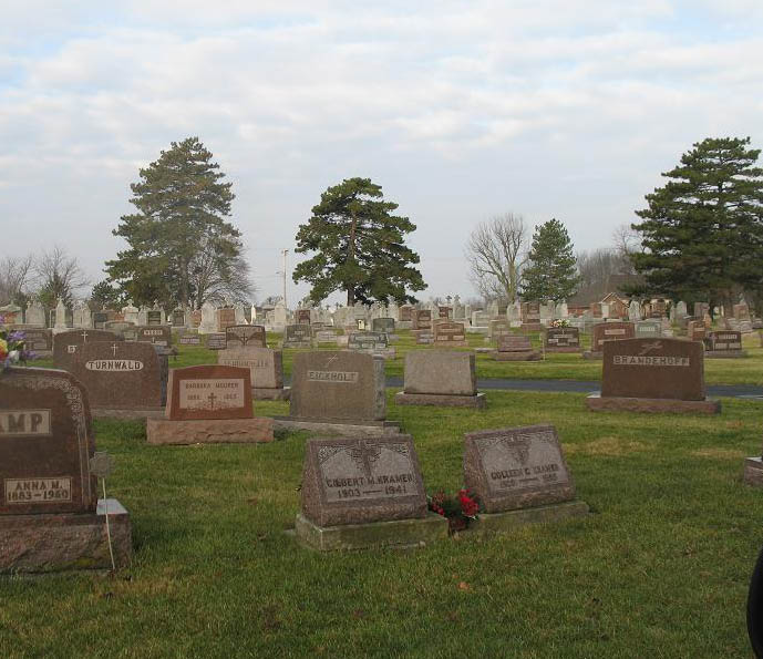
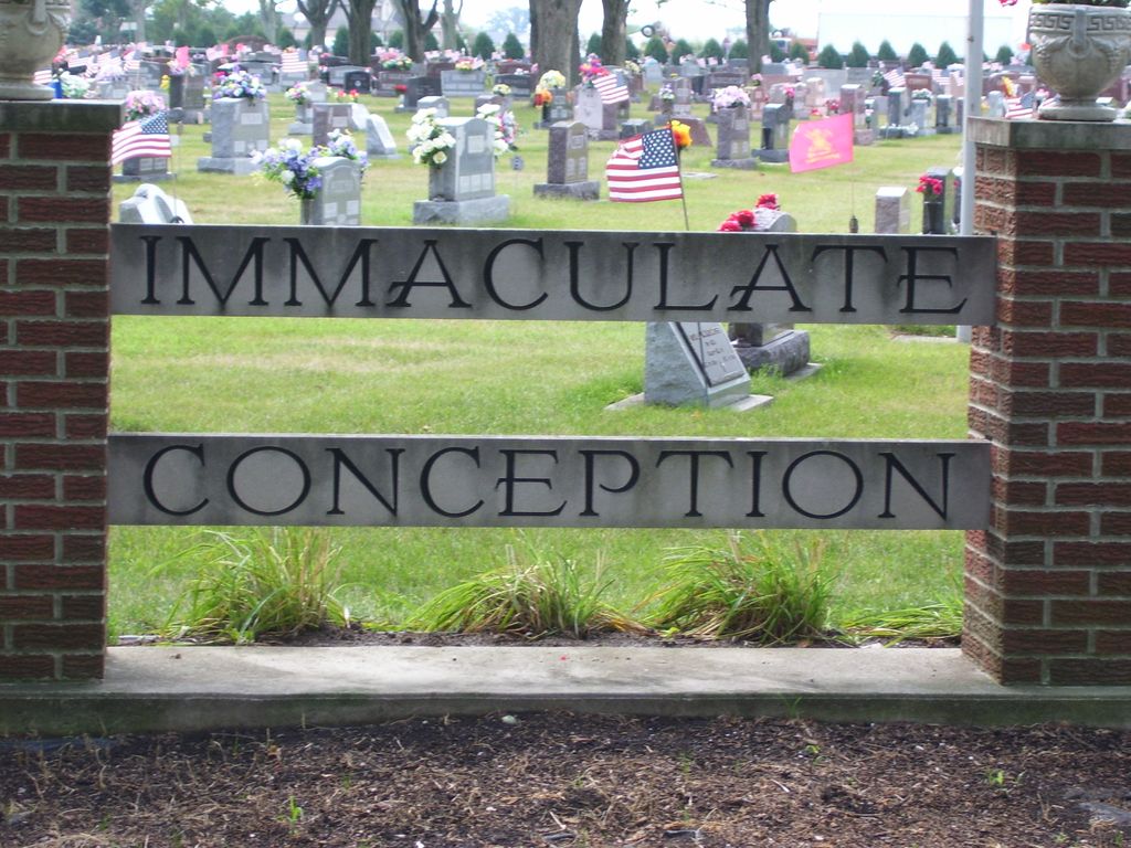
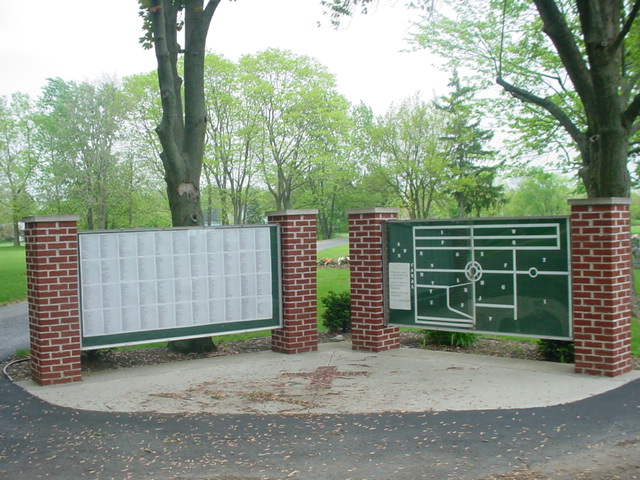
| Description | : | Founded in 1856, the original cemetery was named St. Mary's. The original entrance was off of State Route 66, on the south edge of Ottoville. The older portion of the cemetery is completely filled. When addtional land was added to the cemetery, the name Immaculate Conception Cemetery was used for the newer portion in honor of the local parish: Immaculate Conception. The entrance to both cemeteries is on the south end of Walnut Street. Walnut Street can be reached from Fifth or Sixth Streets, off St. Rt 66, south of the town center. |
frequently asked questions (FAQ):
-
Where is Saint Marys Cemetery?
Saint Marys Cemetery is located at south end of Walnut Street Ottoville, Putnam County ,Ohio ,USA.
-
Saint Marys Cemetery cemetery's updated grave count on graveviews.com?
39 memorials
-
Where are the coordinates of the Saint Marys Cemetery?
Latitude: 40.9261017
Longitude: -84.3399963


Nearby Cemetories:
1. Hammons Cemetery
Ottoville, Putnam County, USA
Coordinate: 40.9223370, -84.3701410
2. Mount Calvary Cemetery
Fort Jennings, Putnam County, USA
Coordinate: 40.8986015, -84.3035965
3. Saint Joseph Cemetery
Fort Jennings, Putnam County, USA
Coordinate: 40.9056015, -84.2928009
4. Antioch Cemetery
Monterey Township, Putnam County, USA
Coordinate: 40.9757996, -84.3431015
5. Raabe Cemetery
Fort Jennings, Putnam County, USA
Coordinate: 40.8993988, -84.2789001
6. Dotson Cemetery
Monterey Township, Putnam County, USA
Coordinate: 40.9841995, -84.3946991
7. Westside Cemetery
Delphos, Van Wert County, USA
Coordinate: 40.8452988, -84.3507996
8. Saint John's Catholic Cemetery
Delphos, Allen County, USA
Coordinate: 40.8423620, -84.3319580
9. Wetherell Cemetery
Cloverdale, Putnam County, USA
Coordinate: 40.9963540, -84.2665100
10. Holden Cemetery
Jackson Township, Putnam County, USA
Coordinate: 41.0006060, -84.2740720
11. New Saint John's Catholic Cemetery
Delphos, Allen County, USA
Coordinate: 40.8451390, -84.2889380
12. Hartshorn Cemetery
Allen County, USA
Coordinate: 40.8424988, -84.2908020
13. Fought Cemetery
Mandale, Paulding County, USA
Coordinate: 41.0121994, -84.3842010
14. Young Cemetery
Paulding County, USA
Coordinate: 41.0121994, -84.3855972
15. King Cemetery
Middle Point, Van Wert County, USA
Coordinate: 40.8664017, -84.4377975
16. Comer Cemetery
Jackson Township, Putnam County, USA
Coordinate: 41.0031013, -84.2649994
17. Saint Barbaras Catholic Church Cemetery
Cloverdale, Putnam County, USA
Coordinate: 41.0184410, -84.2974091
18. Myers Cemetery
Perry Township, Putnam County, USA
Coordinate: 41.0175589, -84.2890091
19. Cascade Cemetery
Cloverdale, Putnam County, USA
Coordinate: 41.0182470, -84.2901990
20. Keirns Cemetery
Sugar Creek Township, Putnam County, USA
Coordinate: 40.8875008, -84.2181015
21. Ottawa River Cemetery
Rimer, Putnam County, USA
Coordinate: 40.9061012, -84.2080994
22. Walnut Grove Cemetery
Delphos, Allen County, USA
Coordinate: 40.8300018, -84.2906036
23. Reynolds Cemetery
Sugar Creek Township, Putnam County, USA
Coordinate: 40.9232940, -84.1986030
24. Ridge Cemetery
Middle Point, Van Wert County, USA
Coordinate: 40.8781013, -84.4692001