
| Memorials | : | 2 |
| Location | : | Crescent, Pottawattamie County, USA |
| Coordinate | : | 41.4088745, -95.8477097 |
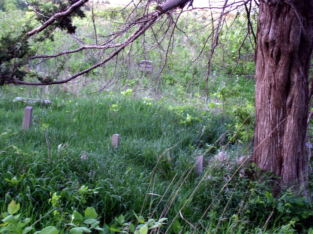
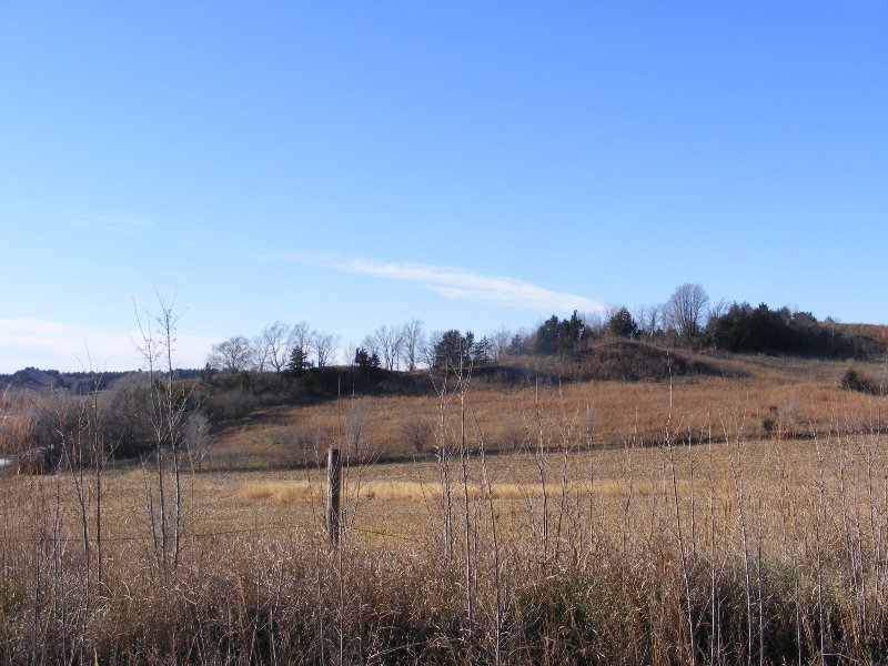
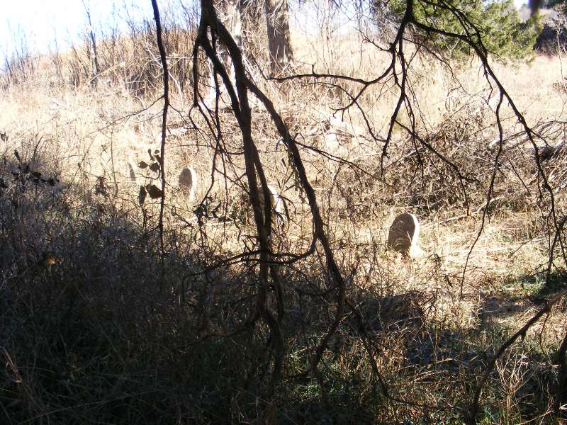
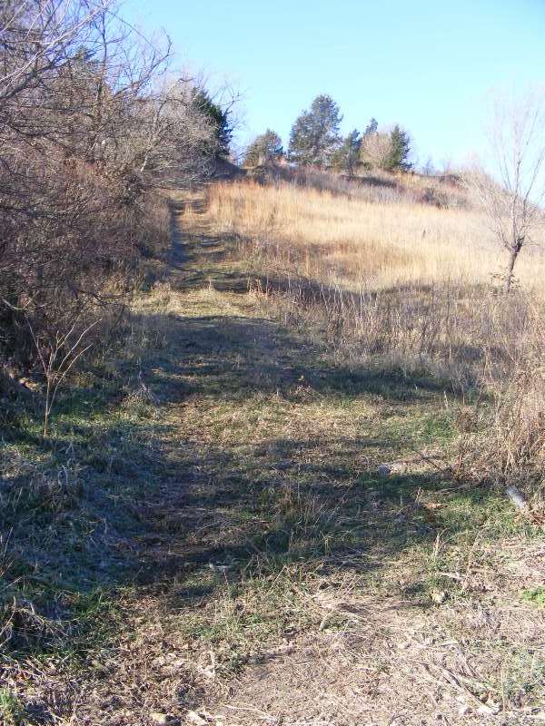
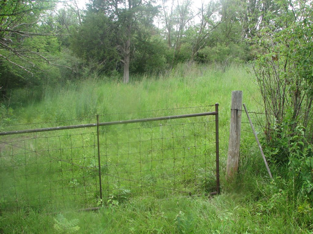
| Description | : | The cemetery is on private property and not accessible by public roads. It is not maintained. Due to controlled burns, some of the headstones are in disrepair. This picture was taken on a hike sponsored by Hitchcock Nature Area which is adjacent to the land this cemetery is on. (1988): Between Honey Creek and Crescent on the Old Lincoln Highway (formerly 183?), there is a turnoff heading west and a sign for the Mt. Crescent Ski slope. This gravel road is called Ski Hill Loop on the Google map (in 2011). You cross a bridge and the road turns north. You... Read More |
frequently asked questions (FAQ):
-
Where is William C McIntosh Cemetery?
William C McIntosh Cemetery is located at Ski Hill Loop Crescent, Pottawattamie County ,Iowa , 51542USA.
-
William C McIntosh Cemetery cemetery's updated grave count on graveviews.com?
2 memorials
-
Where are the coordinates of the William C McIntosh Cemetery?
Latitude: 41.4088745
Longitude: -95.8477097
Nearby Cemetories:
1. Reels Cemetery
Crescent, Pottawattamie County, USA
Coordinate: 41.4234100, -95.8321700
2. Allen Cemetery
Pottawattamie County, USA
Coordinate: 41.4427986, -95.8550034
3. Crescent Cemetery
Crescent, Pottawattamie County, USA
Coordinate: 41.3664894, -95.8566208
4. Grange Cemetery
Honey Creek, Pottawattamie County, USA
Coordinate: 41.4446678, -95.8034668
5. Crook Cemetery
Honey Creek, Pottawattamie County, USA
Coordinate: 41.4581330, -95.8737000
6. Saint Bridgets Cemetery
Honey Creek, Pottawattamie County, USA
Coordinate: 41.4664001, -95.8289032
7. Saint Pauls Lutheran Cemetery
Neola, Pottawattamie County, USA
Coordinate: 41.4337000, -95.7607000
8. Hazel Dell Cemetery
Council Bluffs, Pottawattamie County, USA
Coordinate: 41.3489723, -95.7939911
9. Branson Cemetery
Loveland, Pottawattamie County, USA
Coordinate: 41.4846992, -95.8606033
10. Evans Cemetery
Crescent, Pottawattamie County, USA
Coordinate: 41.3255997, -95.8368988
11. Gregg Cemetery
Weston, Pottawattamie County, USA
Coordinate: 41.3330000, -95.7931000
12. Saint Columbanus Cemetery
Weston, Pottawattamie County, USA
Coordinate: 41.3429440, -95.7435260
13. Shipley Cemetery
Washington County, USA
Coordinate: 41.3932991, -95.9828033
14. Oak Grove Cemetery
Missouri Valley, Harrison County, USA
Coordinate: 41.5167007, -95.8649979
15. Mormon Pioneer Cemetery
Omaha, Douglas County, USA
Coordinate: 41.3348450, -95.9663720
16. Garner Cemetery
Council Bluffs, Pottawattamie County, USA
Coordinate: 41.2956161, -95.8001709
17. Castor Cemetery
Underwood, Pottawattamie County, USA
Coordinate: 41.4127040, -95.6887490
18. H G Fisher Cemetery
Underwood, Pottawattamie County, USA
Coordinate: 41.3838997, -95.6889038
19. Downsville Cemetery
Pottawattamie County, USA
Coordinate: 41.3502998, -95.7039032
20. Forest Lawn Memorial Park
Omaha, Douglas County, USA
Coordinate: 41.3272018, -95.9847031
21. Potter Field
Omaha, Douglas County, USA
Coordinate: 41.3320274, -95.9902878
22. Pleasant Hill Jewish Cemetery
Omaha, Douglas County, USA
Coordinate: 41.3185997, -95.9766998
23. Green Valley Cemetery
Council Bluffs, Pottawattamie County, USA
Coordinate: 41.2743988, -95.8225021
24. Walnut Hill Cemetery
Council Bluffs, Pottawattamie County, USA
Coordinate: 41.2719002, -95.8255997