
| Memorials | : | 0 |
| Location | : | Yerseke, Reimerswaal Municipality, Netherlands |
| Coordinate | : | 51.4949200, 4.0455800 |
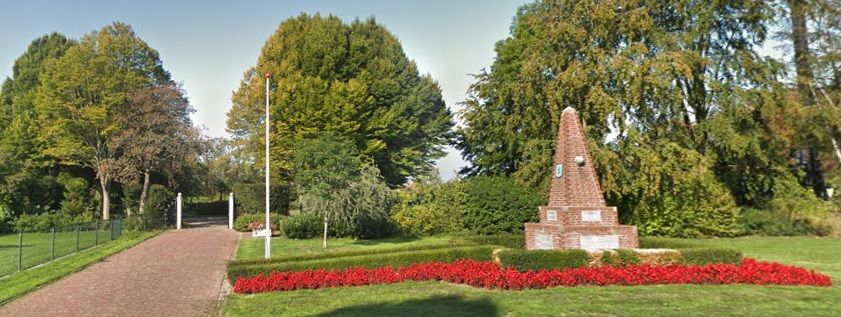
| Description | : | Yerseke is a village situated on the southern shore of the Oosterschelde. It is part of the Reimerswaal municipality located in the province of Zeeland, in the south-western Netherlands. It is approx 13ms east of Goes. |
frequently asked questions (FAQ):
-
Where is Yerseke General Cemetery?
Yerseke General Cemetery is located at Molenlaan Yerseke, Reimerswaal Municipality ,Zeeland ,Netherlands.
-
Yerseke General Cemetery cemetery's updated grave count on graveviews.com?
0 memorials
-
Where are the coordinates of the Yerseke General Cemetery?
Latitude: 51.4949200
Longitude: 4.0455800
Nearby Cemetories:
1. Begraafplaats De Boschburg
Yerseke, Reimerswaal Municipality, Netherlands
Coordinate: 51.4970586, 4.0475950
2. Wemeldinge Algemene Begraafplaats
Wemeldinge, Kapelle Municipality, Netherlands
Coordinate: 51.5126200, 3.9883100
3. Schore Algemene Begraafplaats
Schore, Kapelle Municipality, Netherlands
Coordinate: 51.4658500, 3.9969800
4. Kruiningen General Cemetery
Kruiningen, Reimerswaal Municipality, Netherlands
Coordinate: 51.4488400, 4.0277900
5. Biezelinge Algemene Begraafplaats
Biezelinge, Kapelle Municipality, Netherlands
Coordinate: 51.4777300, 3.9575600
6. Oude Begraafplaats
Sint Maartensdijk, Tholen Municipality, Netherlands
Coordinate: 51.5510907, 4.0775650
7. Kapelle French Military Cemetery
Kapelle, Kapelle Municipality, Netherlands
Coordinate: 51.4877370, 3.9482423
8. Kattendijke General Cemetery
Kattendijke, Goes Municipality, Netherlands
Coordinate: 51.5230400, 3.9476100
9. Hervormde Gemeente te Kattendijke
Kattendijke, Goes Municipality, Netherlands
Coordinate: 51.5236607, 3.9446858
10. Krabbendijke General Cemetery
Krabbendijke, Reimerswaal Municipality, Netherlands
Coordinate: 51.4315990, 4.1067807
11. Begraafplaats Memento Mori
Waarde, Reimerswaal Municipality, Netherlands
Coordinate: 51.4202400, 4.0657000
12. Kloetinge General Cemetery
Kloetinge, Goes Municipality, Netherlands
Coordinate: 51.4971500, 3.9232100
13. Crematorium en uitvaartcentrum Het Zeeuwse Land
Goes Municipality, Netherlands
Coordinate: 51.4810570, 3.8994665
14. Algemene Begraafplaats Stavenisse
Stavenisse, Tholen Municipality, Netherlands
Coordinate: 51.5880304, 4.0098963
15. Lenshoekdijk Old
's-Gravenpolder, Borsele Municipality, Netherlands
Coordinate: 51.4554900, 3.9012800
16. 's-Gravenpolder Algemene Begraafplaats
's-Gravenpolder, Borsele Municipality, Netherlands
Coordinate: 51.4556100, 3.9003500
17. Goes Algemene Begraafplaats
Goes, Goes Municipality, Netherlands
Coordinate: 51.5120600, 3.8866100
18. Wilhelminadorp General Cemetery
Wilhelminadorp, Goes Municipality, Netherlands
Coordinate: 51.5323600, 3.8916900
19. Algemene Begraafplaats Sint Annaland
Sint Annaland, Tholen Municipality, Netherlands
Coordinate: 51.6000003, 4.0949592
20. Hoedekenskerke Old Churchyard
Hoedekenskerke, Borsele Municipality, Netherlands
Coordinate: 51.4235320, 3.9121413
21. Hoedekenskerke Waardweg Cemetery
Hoedekenskerke, Borsele Municipality, Netherlands
Coordinate: 51.4224100, 3.9129400
22. Sint-Annaland Old General Cemetery
Sint Annaland, Tholen Municipality, Netherlands
Coordinate: 51.6011400, 4.1004100
23. Willibrorduskerk v.m.
Ossenisse, Hulst Municipality, Netherlands
Coordinate: 51.3888248, 3.9803445
24. Algemene Begraafplaats
Tholen Municipality, Netherlands
Coordinate: 51.5379869, 4.2241721