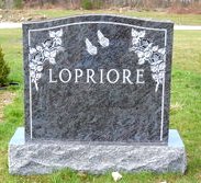
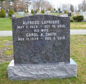
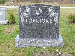
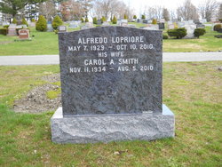
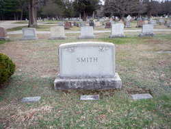
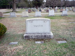
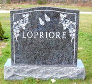
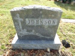
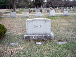
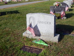
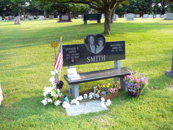
Carol Ada Smith Lopriore
| Birth | : | 11 Nov 1934 Northbridge, Worcester County, Massachusetts, USA |
| Death | : | 5 Aug 2010 Shrewsbury, Worcester County, Massachusetts, USA |
| Burial | : | St Nicholas Churchyard, Kiddington, West Oxfordshire District, England |
| Coordinate | : | 51.9032900, -1.4031790 |
| Description | : | Carol A. (Smith) Lopriore, 75, of Shrewsbury, passed away on Thursday, August 5, 2010 after a long and courageous struggle with pulmonary fibrosis. Carol was born in Northbridge, MA, the daughter of the late John and Lillian (Sprague) Smith. She is survived by her loving husband of 56 years, Alfredo Lopriore; a daughter, and six sons. She is survived by three siblings and was predeceased by eight. Carol will be greatly missed for her unending generosity to all that knew her and her independent spirit. She spent her life raising her large family. She enjoyed her beautiful flower gardens, weekend... Read More |
frequently asked questions (FAQ):
-
Where is Carol Ada Smith Lopriore's memorial?
Carol Ada Smith Lopriore's memorial is located at: St Nicholas Churchyard, Kiddington, West Oxfordshire District, England.
-
When did Carol Ada Smith Lopriore death?
Carol Ada Smith Lopriore death on 5 Aug 2010 in Shrewsbury, Worcester County, Massachusetts, USA
-
Where are the coordinates of the Carol Ada Smith Lopriore's memorial?
Latitude: 51.9032900
Longitude: -1.4031790
Family Members:
Parent
Spouse
Siblings
Flowers:
Nearby Cemetories:
1. St Nicholas Churchyard
Kiddington, West Oxfordshire District, England
Coordinate: 51.9032900, -1.4031790
2. Glympton Churchyard
Glympton, West Oxfordshire District, England
Coordinate: 51.8937150, -1.3852970
3. St. Edward the Confessor Churchyard
Westcot Barton, West Oxfordshire District, England
Coordinate: 51.9280100, -1.3747200
4. St Martins Churchyard
Sandford St Martin, West Oxfordshire District, England
Coordinate: 51.9371500, -1.3901400
5. St. Kenelms Churchyard
Enstone, West Oxfordshire District, England
Coordinate: 51.9232490, -1.4494010
6. St Kenelm's Churchyard Extension
Enstone, West Oxfordshire District, England
Coordinate: 51.9240960, -1.4484250
7. St Mary the Virgin Churchyard
Wootton, West Oxfordshire District, England
Coordinate: 51.8756430, -1.3636990
8. Steeple Barton Churchyard
Steeple Barton, West Oxfordshire District, England
Coordinate: 51.9207670, -1.3498060
9. St Michael and All Angels Churchyard
Great Tew, West Oxfordshire District, England
Coordinate: 51.9569280, -1.4205150
10. Saint James the Great Churchyard
Stonesfield, West Oxfordshire District, England
Coordinate: 51.8510437, -1.4303250
11. St Johns Churchyard
Little Tew, West Oxfordshire District, England
Coordinate: 51.9540390, -1.4419230
12. Stonesfield Cemetery
Stonesfield, West Oxfordshire District, England
Coordinate: 51.8497110, -1.4301480
13. All Saints Churchyard
Spelsbury, West Oxfordshire District, England
Coordinate: 51.8909988, -1.4941750
14. Charlbury Cemetery
Charlbury, West Oxfordshire District, England
Coordinate: 51.8753600, -1.4855300
15. North Oxfordshire Memorial Park and Crematorium
Tackley, West Oxfordshire District, England
Coordinate: 51.8647410, -1.3312160
16. Holy Trinity Churchyard
Over Worton, West Oxfordshire District, England
Coordinate: 51.9598240, -1.3753620
17. St. Mary the Virgin Churchyard
Charlbury, West Oxfordshire District, England
Coordinate: 51.8722050, -1.4846970
18. Lawn Cemetery
Woodstock, West Oxfordshire District, England
Coordinate: 51.8534220, -1.3512110
19. St Leonard and St James Churchyard
Rousham, West Oxfordshire District, England
Coordinate: 51.9139780, -1.3037790
20. St. Nicholas Churchyard
Tackley, West Oxfordshire District, England
Coordinate: 51.8782400, -1.3102910
21. St Mary Magdalene Churchyard
Woodstock, West Oxfordshire District, England
Coordinate: 51.8472890, -1.3569480
22. Hensington Road Cemetery
Woodstock, West Oxfordshire District, England
Coordinate: 51.8488700, -1.3495500
23. SS Peter and Paul Churchyard
Steeple Aston, Cherwell District, England
Coordinate: 51.9311350, -1.3091000
24. St Mary Magdelene Churchyard
Duns Tew, Cherwell District, England
Coordinate: 51.9528350, -1.3363090

