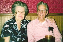
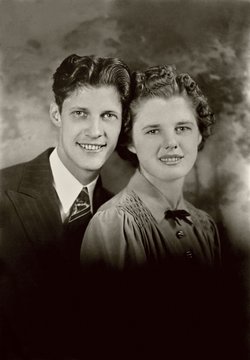
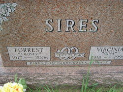
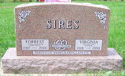
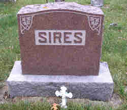
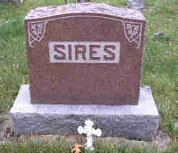
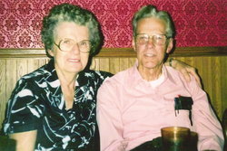
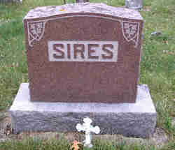
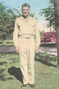
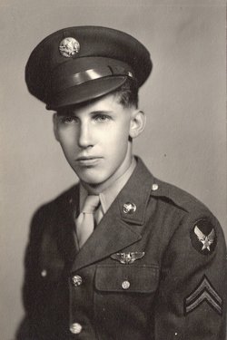
Forrest Daniel “Frosty” Sires
| Birth | : | 7 Dec 1917 Dorchester, Allamakee County, Iowa, USA |
| Death | : | 2 Jan 2006 Lansing, Allamakee County, Iowa, USA |
| Burial | : | Free Will Baptist Church Cemetery, Holmesville, Carleton County, Canada |
| Coordinate | : | 46.5748720, -67.6033510 |
| Description | : | Forrest D. "Frosty" Sires, 88, of New Albin, Allamakee County, Iowa, died Monday, January 2, 2006, at Thornton Manor Care Center in Lansing, Iowa. Funeral services were held Thursday, January 5 at the New Albin Community Center in New Albin, with Pastor James Olsen officiating. Burial was in New Albin City Cemetery. Martin Funeral Home in Waukon assisted the family with arrangements. Forrest Daniel "Frosty" Sires was born December 7, 1917, in Dorchester, Iowa, the son of James and Sarah (Hahn) Sires. He received Jesus Christ as a young man and dedicated his life to the Lord. Frosty graduated from New... Read More |
frequently asked questions (FAQ):
-
Where is Forrest Daniel “Frosty” Sires's memorial?
Forrest Daniel “Frosty” Sires's memorial is located at: Free Will Baptist Church Cemetery, Holmesville, Carleton County, Canada.
-
When did Forrest Daniel “Frosty” Sires death?
Forrest Daniel “Frosty” Sires death on 2 Jan 2006 in Lansing, Allamakee County, Iowa, USA
-
Where are the coordinates of the Forrest Daniel “Frosty” Sires's memorial?
Latitude: 46.5748720
Longitude: -67.6033510
Family Members:
Parent
Spouse
Siblings
Children
Flowers:
Nearby Cemetories:
1. Free Will Baptist Church Cemetery
Holmesville, Carleton County, Canada
Coordinate: 46.5748720, -67.6033510
2. Buckley Cemetery
Holmesville, Carleton County, Canada
Coordinate: 46.5781683, -67.6194186
3. Mineral Cemetery
Kent, Carleton County, Canada
Coordinate: 46.5918753, -67.5843827
4. Taylor Cemetery
Piercemont, Carleton County, Canada
Coordinate: 46.5548580, -67.6317020
5. Johnville Cemetery
Johnville, Carleton County, Canada
Coordinate: 46.5870263, -67.5493302
6. Moose Mountain Pioneer Cemetery
Moose Mountain, Carleton County, Canada
Coordinate: 46.6007340, -67.6610030
7. Currie Cemetery
Bath, Carleton County, Canada
Coordinate: 46.5293370, -67.6286000
8. Beechwood United Baptist Cemetery
Beechwood, Carleton County, Canada
Coordinate: 46.5433300, -67.6625000
9. Gee Flat Cemetery
Bath, Carleton County, Canada
Coordinate: 46.5213340, -67.6162040
10. Pine Tree Cemetery
Bath, Carleton County, Canada
Coordinate: 46.5164370, -67.6046100
11. Pomphrey Cemetery
Wicklow, Carleton County, Canada
Coordinate: 46.5437840, -67.6802360
12. Barker Cemetery
Bath, Carleton County, Canada
Coordinate: 46.5102780, -67.5961110
13. Wharton Cemetery
Upper Kent, Carleton County, Canada
Coordinate: 46.5583300, -67.7011100
14. Melville Cemetery
Kincardine, Victoria County, Canada
Coordinate: 46.6366790, -67.6660930
15. Pomphrey Island Cemetery
Clearview, Carleton County, Canada
Coordinate: 46.5637693, -67.7153083
16. Hawthorne Cemetery
Upper Kent, Carleton County, Canada
Coordinate: 46.5833177, -67.7179017
17. St Bartholomew Catholic Cemetery
Clearview, Carleton County, Canada
Coordinate: 46.5730900, -67.7196300
18. Lower Wicklow Cemetery
Wicklow, Carleton County, Canada
Coordinate: 46.4916000, -67.5862200
19. Summerfield Cemetery
Wicklow, Carleton County, Canada
Coordinate: 46.5249990, -67.7083540
20. Bairdsville Anglican Cemetery
Bairdsville, Victoria County, Canada
Coordinate: 46.6269606, -67.7164698
21. Kilburn Community Cemetery
Kilburn, Victoria County, Canada
Coordinate: 46.6406400, -67.7061800
22. Greenfield Anglican Cemetery
Greenfield, Carleton County, Canada
Coordinate: 46.4900710, -67.6862390
23. River de Chute Cemetery
Carleton County, Canada
Coordinate: 46.5935500, -67.7500700
24. Bristol United Church Cemetery
Florenceville-Bristol, Carleton County, Canada
Coordinate: 46.4722370, -67.5787790

