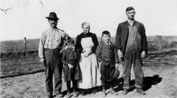
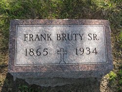
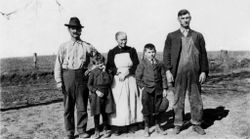
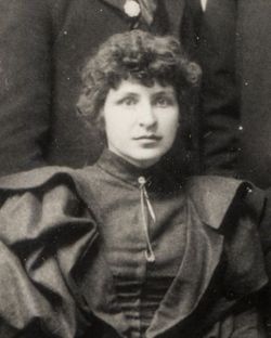
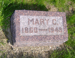
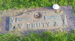
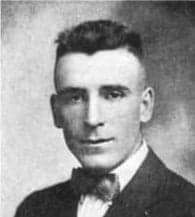
Francis Xavior Bruty
| Birth | : | 19 Jan 1865 Richmond, Washington County, Iowa, USA |
| Death | : | 1 Mar 1934 Washington, Washington County, Iowa, USA |
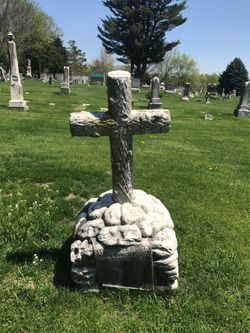
| Burial | : | St. James Churchyard, Gretton, Corby Borough, England |
| Coordinate | : | 52.5403000, -0.6763400 |
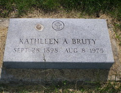
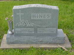
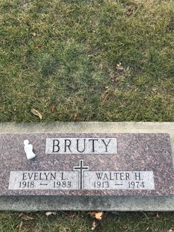
| Description | : | Husband of Jane Florence Swift Bruty married September 22 1892 in Washington, Washington County, Iowa. To this union ten children were born Francis Patrick, Martina, Leo George, Kathleen Agnes, Mrs. Marguerite Beatrice Hines, Mrs. Dorothy Clare Govock, Mary Martina, William Bryan, Mrs. Lucy Regina Schoenfelder and Walter Hubert Bruty. Francis was the son of Alexander and Marie Cecile Mottet Bruty. He was the brother to Mary Cecilia, Amelia Emiby, Cecelia Mary, Clalien, and Katherine B. Bruty |
frequently asked questions (FAQ):
-
Where is Francis Xavior Bruty's memorial?
Francis Xavior Bruty's memorial is located at: St. James Churchyard, Gretton, Corby Borough, England.
-
When did Francis Xavior Bruty death?
Francis Xavior Bruty death on 1 Mar 1934 in Washington, Washington County, Iowa, USA
-
Where are the coordinates of the Francis Xavior Bruty's memorial?
Latitude: 52.5403000
Longitude: -0.6763400
Family Members:
Parent
Spouse
Siblings
Children
Flowers:
Nearby Cemetories:
1. St. James Churchyard
Gretton, Corby Borough, England
Coordinate: 52.5403000, -0.6763400
2. St. John the Evangelist Churchyard
Caldecott, Rutland Unitary Authority, England
Coordinate: 52.5341600, -0.7213400
3. Saint John The Baptist Churchyard
Harringworth, East Northamptonshire Borough, England
Coordinate: 52.5671000, -0.6491000
4. All Hallows Churchyard
Seaton, Rutland Unitary Authority, England
Coordinate: 52.5745730, -0.6670810
5. Shire Lodge Cemetery
Corby, Corby Borough, England
Coordinate: 52.5073610, -0.7084990
6. St Andrew Churchyard
Stoke Dry, Rutland Unitary Authority, England
Coordinate: 52.5620632, -0.7394099
7. Independant Chapel Cemetery
Great Easton, Harborough District, England
Coordinate: 52.5268820, -0.7472440
8. St. Andrew Churchyard Extension
Hallaton, Harborough District, England
Coordinate: 52.5308470, -0.7505850
9. St. Andrew's Churchyard
Great Easton, Harborough District, England
Coordinate: 52.5288590, -0.7525630
10. Deene Park
Deene, East Northamptonshire Borough, England
Coordinate: 52.5242960, -0.6010350
11. All Saints Churchyard
Laxton, East Northamptonshire Borough, England
Coordinate: 52.5535760, -0.5992450
12. Saint Peter's Churchyard
Deene, East Northamptonshire Borough, England
Coordinate: 52.5242490, -0.5984740
13. Uppingham Lawn Cemetery
Uppingham, Rutland Unitary Authority, England
Coordinate: 52.5855800, -0.7229700
14. St. Peter and St. Paul's Churchyard
Uppingham, Rutland Unitary Authority, England
Coordinate: 52.5873820, -0.7221660
15. Saint Nicholas Cemetery
Bringhurst, Harborough District, England
Coordinate: 52.5216700, -0.7614220
16. St. Andrew's Churchyard
Glaston, Rutland Unitary Authority, England
Coordinate: 52.5953628, -0.6781534
17. Saint Nicholas Churchyard
Bringhurst, Harborough District, England
Coordinate: 52.5208900, -0.7613600
18. St. Nicholas' Churchyard
Bulwick, East Northamptonshire Borough, England
Coordinate: 52.5376000, -0.5818000
19. St Mary the Virgin Churchyard
Morcott, Rutland Unitary Authority, England
Coordinate: 52.5967800, -0.6366200
20. St Mary Magdalene
Cottingham, Corby Borough, England
Coordinate: 52.5008296, -0.7551008
21. St. Peter's Churchyard
Stockerston, Harborough District, England
Coordinate: 52.5687800, -0.7706600
22. St. Peter's Churchyard
Barrowden, Rutland Unitary Authority, England
Coordinate: 52.5888800, -0.6063600
23. Church of Saint John the Baptist
Wakerley, East Northamptonshire Borough, England
Coordinate: 52.5817323, -0.5929850
24. St. Mary the Virgin Churchyard
Uppingham, Rutland Unitary Authority, England
Coordinate: 52.5996800, -0.7324400

