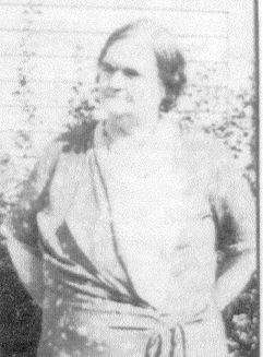
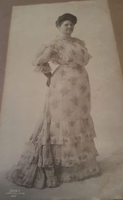
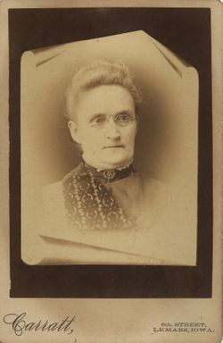
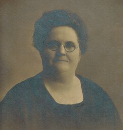
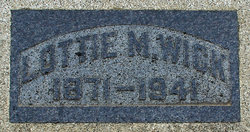
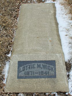
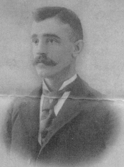
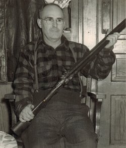
Lottie Marie Dresser Wick
| Birth | : | 15 May 1871 Plymouth County, Iowa, USA |
| Death | : | 2 Oct 1941 Lyon County, Iowa, USA |
| Burial | : | All Saints Churchyard, Eastchurch, Swale Borough, England |
| Coordinate | : | 51.4068909, 0.8574320 |
| Description | : | Lottie Marie Dresser Campbell Wick is the daughter of Archibald and Emma Reid Dresser. She married Stephen Green Campbell 24 June 1893 and Divorced him 30 Sept 1902. Two children were born in this union, Archibald Dresser Campbell and Calvin Hiram [Butch] Campbell. Lottie came to Lester, Iowa in 1900 and met and married Henry A. Wick 24 Feb. 1906. To this union one child was born, Helen Josephine Wick. |
frequently asked questions (FAQ):
-
Where is Lottie Marie Dresser Wick's memorial?
Lottie Marie Dresser Wick's memorial is located at: All Saints Churchyard, Eastchurch, Swale Borough, England.
-
When did Lottie Marie Dresser Wick death?
Lottie Marie Dresser Wick death on 2 Oct 1941 in Lyon County, Iowa, USA
-
Where are the coordinates of the Lottie Marie Dresser Wick's memorial?
Latitude: 51.4068909
Longitude: 0.8574320
Family Members:
Parent
Spouse
Siblings
Children
Flowers:
Nearby Cemetories:
1. All Saints Churchyard
Eastchurch, Swale Borough, England
Coordinate: 51.4068909, 0.8574320
2. Minster Abbey
Minster on Sea, Swale Borough, England
Coordinate: 51.4219320, 0.8119580
3. St Clement Churchyard
Leysdown, Swale Borough, England
Coordinate: 51.3970440, 0.9066620
4. Ss Mary and Sexburga New Churchyard
Minster on Sea, Swale Borough, England
Coordinate: 51.4235540, 0.8098720
5. St Thomas the Apostle Churchyard
Harty, Swale Borough, England
Coordinate: 51.3598251, 0.9045590
6. Sheppey Cemetery
Sheerness, Swale Borough, England
Coordinate: 51.4232780, 0.7718320
7. Holy Trinity Churchyard
Queenborough, Swale Borough, England
Coordinate: 51.4174080, 0.7443560
8. St Mary Churchyard
Teynham, Swale Borough, England
Coordinate: 51.3377640, 0.8213570
9. Deerton Natural Burial Ground
Teynham, Swale Borough, England
Coordinate: 51.3344460, 0.8297850
10. St Mary Churchyard
Luddenham, Swale Borough, England
Coordinate: 51.3324180, 0.8586720
11. St Peter's Churchyard
Oare, Swale Borough, England
Coordinate: 51.3335910, 0.8804350
12. St Giles Churchyard
Tonge, Swale Borough, England
Coordinate: 51.3424640, 0.7757790
13. All Saints Churchyard
Iwade, Swale Borough, England
Coordinate: 51.3787920, 0.7306550
14. St Mary Magdalene and St Lawrence Churchyard
Faversham, Swale Borough, England
Coordinate: 51.3193510, 0.8845170
15. Holy Trinity Churchyard
Milton Regis, Swale Borough, England
Coordinate: 51.3556700, 0.7401300
16. Murston Cemetery
Sittingbourne, Swale Borough, England
Coordinate: 51.3424700, 0.7527100
17. St Mary of Charity Churchyard
Faversham, Swale Borough, England
Coordinate: 51.3171730, 0.8948480
18. Faversham Abbey (Defunct)
Faversham, Swale Borough, England
Coordinate: 51.3165680, 0.8958480
19. St. Laurence's Churchyard
Bapchild, Swale Borough, England
Coordinate: 51.3330520, 0.7655020
20. St Mary Churchyard
Norton, Swale Borough, England
Coordinate: 51.3149750, 0.8221900
21. All Saints Churchyard
Graveney, Swale Borough, England
Coordinate: 51.3261450, 0.9447880
22. St. Catherine's Churchyard
Faversham, Swale Borough, England
Coordinate: 51.3103390, 0.8926930
23. Garden of England Crematorium
Bobbing, Swale Borough, England
Coordinate: 51.3595330, 0.7179190
24. St Peter and St Paul Churchyard
Ospringe, Swale Borough, England
Coordinate: 51.3070220, 0.8690570

