
| Memorials | : | 0 |
| Location | : | Nazeing, Epping Forest District, England |
| Website | : | www.nazeingchurch.co.uk |
| Coordinate | : | 51.7436140, 0.0464100 |
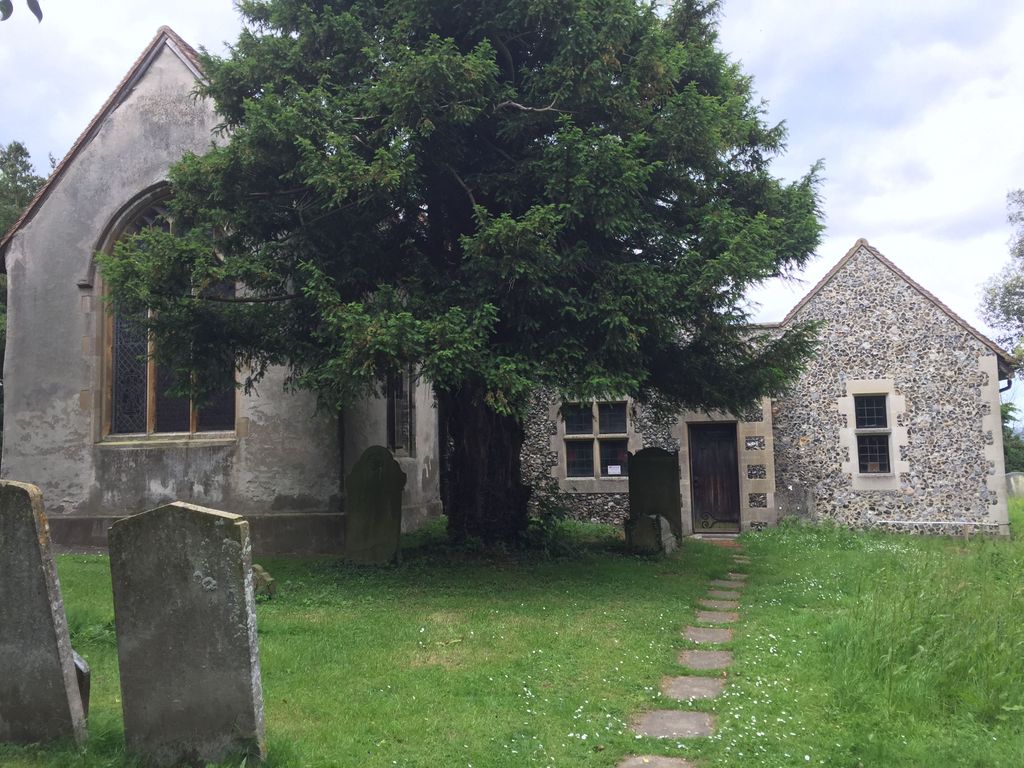
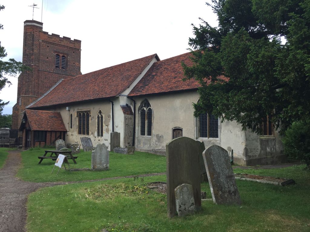
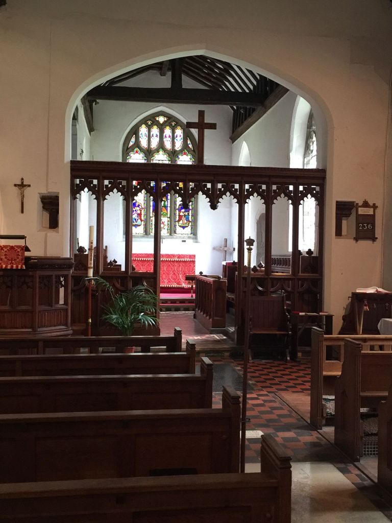
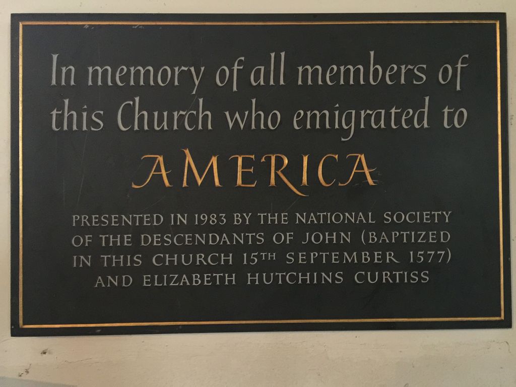
| Description | : | Nazeing is one of the largest parishes in Essex and a church has stood on this land for over a thousand years. The Parish has two churches: All Saints and St Giles. All Saints’s history dates back to earliest Christian times, when a religious house was established in Nazeing led by the Abbess Fymme. She was most likely an Anglo-Saxon, high-born woman, who may have been among those in the Anglo Saxon royal household who were converted by the missionary bishop Cedd. The first church in the parish is believed to have been erected on the site of All... Read More |
frequently asked questions (FAQ):
-
Where is All Saints Churchyard?
All Saints Churchyard is located at Betts Lane Nazeing, Epping Forest District ,Essex , EN9 2DBEngland.
-
All Saints Churchyard cemetery's updated grave count on graveviews.com?
0 memorials
-
Where are the coordinates of the All Saints Churchyard?
Latitude: 51.7436140
Longitude: 0.0464100
Nearby Cemetories:
1. St Mary the Virgin Churchyard
Great Parndon, Harlow District, England
Coordinate: 51.7605100, 0.0739860
2. Parndon Wood Crematorium and Cemetery
Harlow, Harlow District, England
Coordinate: 51.7430160, 0.0898420
3. Roydon United Reform Churchyard
Roydon, Epping Forest District, England
Coordinate: 51.7714050, 0.0460240
4. All Saints Churchyard
Epping Upland, Epping Forest District, England
Coordinate: 51.7207440, 0.0888980
5. Saint Augustine's Churchyard
Broxbourne, Broxbourne Borough, England
Coordinate: 51.7445150, -0.0147810
6. St James' Churchyard
Stanstead Abbotts, East Hertfordshire District, England
Coordinate: 51.7806920, 0.0275950
7. St Catherine and St Paul's Churchyard
Hoddesdon, Broxbourne Borough, England
Coordinate: 51.7625830, -0.0120670
8. Quaker Burial Ground, Hoddesdon, Hertfordshire
Hoddesdon, Broxbourne Borough, England
Coordinate: 51.7610213, -0.0139560
9. St. Mary's Churchyard
Little Parndon, Harlow District, England
Coordinate: 51.7792683, 0.0840760
10. St Andrew Churchyard
Netteswell, Harlow District, England
Coordinate: 51.7640460, 0.1085500
11. St Botolph Church
Eastwick, East Hertfordshire District, England
Coordinate: 51.7851000, 0.0776000
12. Hoddesdon Cemetery
Hoddesdon, Broxbourne Borough, England
Coordinate: 51.7711490, -0.0156822
13. St. Margaret's Parish Churchyard
Stanstead St Margarets, East Hertfordshire District, England
Coordinate: 51.7857570, -0.0002631
14. St. Dunstan Churchyard
Hunsdon, East Hertfordshire District, England
Coordinate: 51.7951000, 0.0548190
15. Woollensbrook Crematorium
Hoddesdon, Broxbourne Borough, England
Coordinate: 51.7681805, -0.0280669
16. St. Laurence Churchyard
Wormley, Broxbourne Borough, England
Coordinate: 51.7352050, -0.0389350
17. St. Thomas Churchyard
Upshire, Epping Forest District, England
Coordinate: 51.6898890, 0.0465860
18. St. Mary Magdalene Churchyard
Potter Street, Harlow District, England
Coordinate: 51.7558200, 0.1315900
19. Potter Street Baptist Churchyard
Harlow, Harlow District, England
Coordinate: 51.7575040, 0.1326510
20. Epping Cemetery
Epping, Epping Forest District, England
Coordinate: 51.6978250, 0.0974260
21. St Mary-at-Latton Churchyard
Latton, Harlow District, England
Coordinate: 51.7774500, 0.1206750
22. St John the Baptist Churchyard
Great Amwell, East Hertfordshire District, England
Coordinate: 51.7944320, -0.0123740
23. St Mary's Churchyard
Gilston, East Hertfordshire District, England
Coordinate: 51.8016340, 0.0855550
24. Waltham Abbey
Waltham Abbey, Epping Forest District, England
Coordinate: 51.6876010, -0.0034070