
| Memorials | : | 275 |
| Location | : | Huntington, York Unitary Authority, England |
| Coordinate | : | 53.9977460, -1.0633490 |
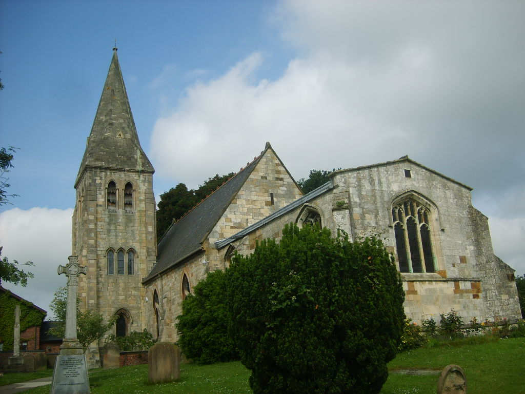
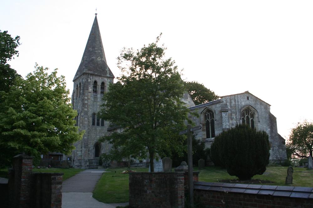
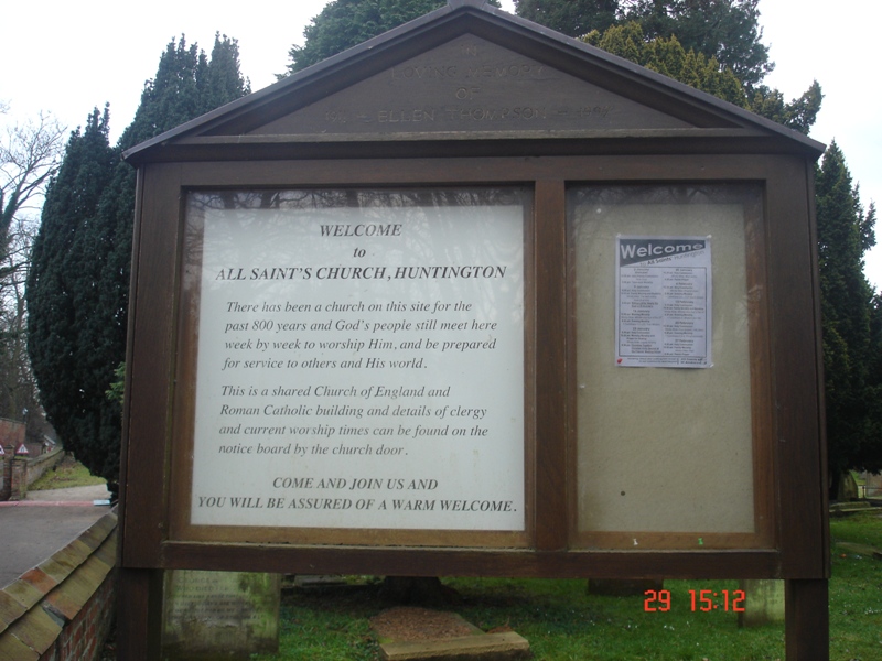
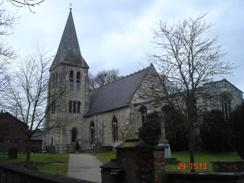
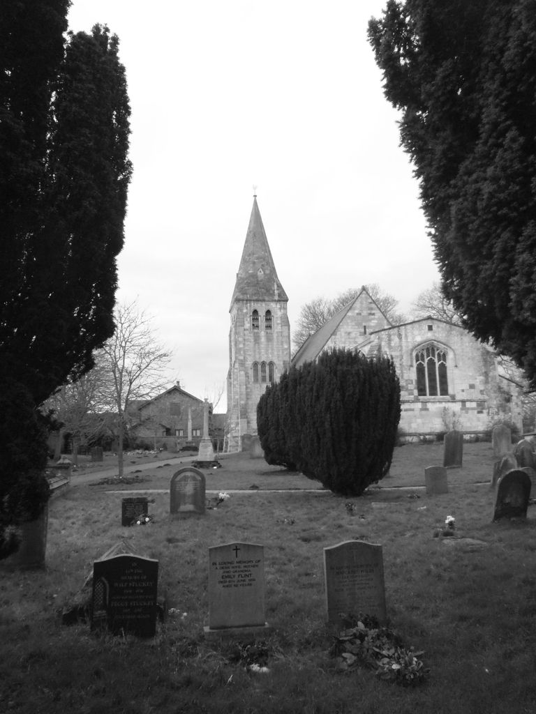
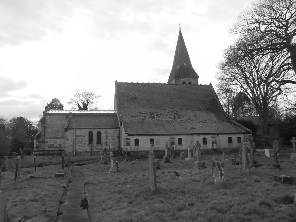
| Description | : | All Saints' Church is set in the countryside between Huntington and New Earswick. It's located on Church Lane, off the Old Village in Huntington and it sits beside the River Foss. It's a popular location for weddings and christenings and has an attractive and well-maintained churchyard, with 10 graves from World Wars plus a war memorial. Together with St Andrew's Church it forms http://huntingtonparish.org.uk |
frequently asked questions (FAQ):
-
Where is All Saints Churchyard?
All Saints Churchyard is located at Huntington, York Unitary Authority ,North Yorkshire ,England.
-
All Saints Churchyard cemetery's updated grave count on graveviews.com?
3 memorials
-
Where are the coordinates of the All Saints Churchyard?
Latitude: 53.9977460
Longitude: -1.0633490
Nearby Cemetories:
1. New Lane Cemetery
Huntington, York Unitary Authority, England
Coordinate: 53.9816223, -1.0576156
2. St Mary Churchyard
Haxby, York Unitary Authority, England
Coordinate: 54.0167790, -1.0754230
3. St. Nicholas' Churchyard
Wigginton, York Unitary Authority, England
Coordinate: 54.0182590, -1.0850720
4. Wigginton Garden of Rest
Wigginton, York Unitary Authority, England
Coordinate: 54.0183970, -1.0851200
5. Haxby and Wigginton Cemetery
Haxby, York Unitary Authority, England
Coordinate: 54.0219200, -1.0808600
6. Holy Trinity Churchyard
Heworth, York Unitary Authority, England
Coordinate: 53.9660080, -1.0596980
7. Skelton Parish Council Cemetery
Skelton, York Unitary Authority, England
Coordinate: 54.0070970, -1.1150970
8. St Maurice Churchyard
York, York Unitary Authority, England
Coordinate: 53.9633340, -1.0782010
9. St Giles Churchyard
York, York Unitary Authority, England
Coordinate: 53.9640010, -1.0843930
10. York Minster
York, York Unitary Authority, England
Coordinate: 53.9619440, -1.0819440
11. St Cuthbert Churchyard
York, York Unitary Authority, England
Coordinate: 53.9609180, -1.0752310
12. Holy Trinity Churchyard
Stockton-on-the-Forest, York Unitary Authority, England
Coordinate: 53.9960220, -0.9994630
13. St Michael le Belfrey Churchyard
York, York Unitary Authority, England
Coordinate: 53.9618620, -1.0829730
14. St Peter Churchyard
Stockton-on-the-Forest, York Unitary Authority, England
Coordinate: 53.9964440, -0.9991290
15. St Andrew Churchyard
York, York Unitary Authority, England
Coordinate: 53.9609180, -1.0784710
16. Holy Trinity Goodramgate Churchyard
York, York Unitary Authority, England
Coordinate: 53.9609810, -1.0804640
17. York Unitarian Chapelyard
York, York Unitary Authority, England
Coordinate: 53.9602950, -1.0775710
18. St Olave Churchyard
York, York Unitary Authority, England
Coordinate: 53.9622570, -1.0891560
19. Abbey of St Mary (defunct)
York, York Unitary Authority, England
Coordinate: 53.9620290, -1.0883600
20. All Saints Peasholme (Defunct)
York, York Unitary Authority, England
Coordinate: 53.9597200, -1.0759220
21. St Wilfred Churchyard
York, York Unitary Authority, England
Coordinate: 53.9610550, -1.0848990
22. Holy Trinity Kings Court Churchyard
York, York Unitary Authority, England
Coordinate: 53.9599760, -1.0800800
23. St Saviour Churchyard
York, York Unitary Authority, England
Coordinate: 53.9596100, -1.0780000
24. St Crux Hungate Burial Ground
York, York Unitary Authority, England
Coordinate: 53.9593540, -1.0774470