
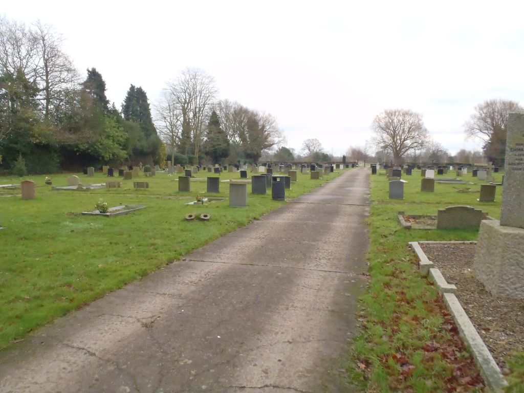
| Memorials | : | 35 |
| Location | : | Haxby, York Unitary Authority, England |
| Coordinate | : | 54.0219200, -1.0808600 |
frequently asked questions (FAQ):
-
Where is Haxby and Wigginton Cemetery?
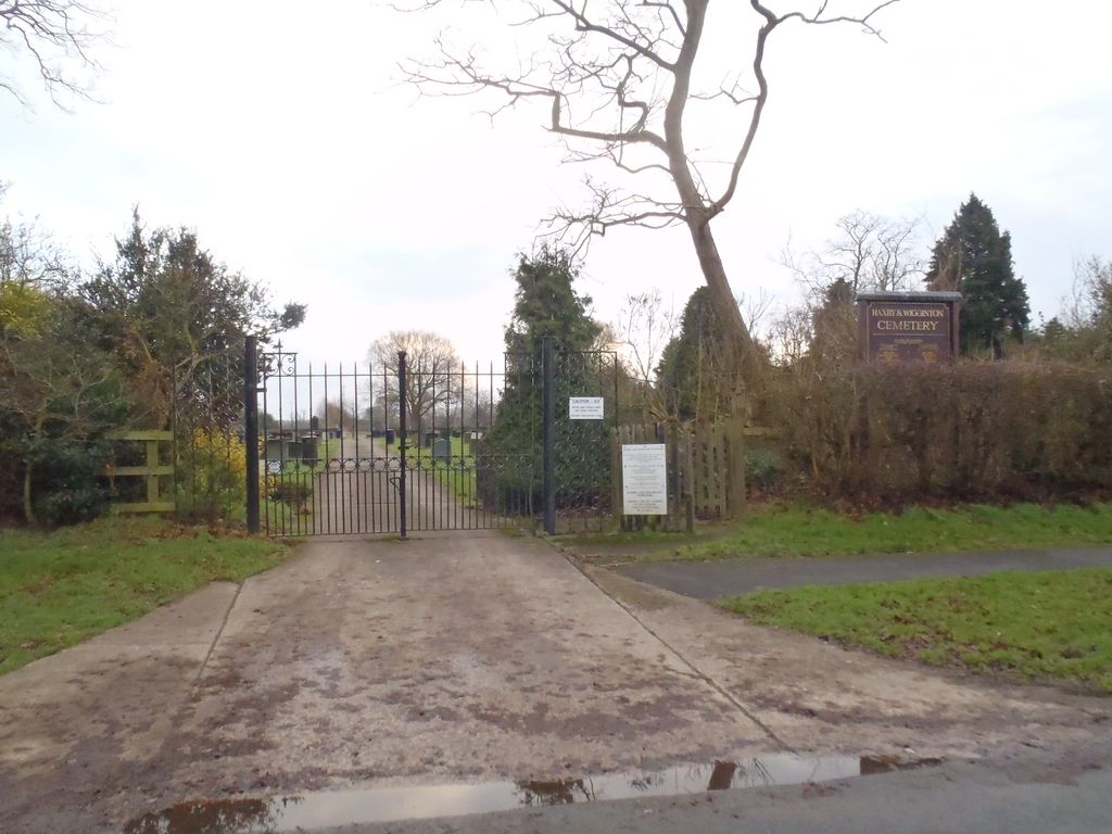
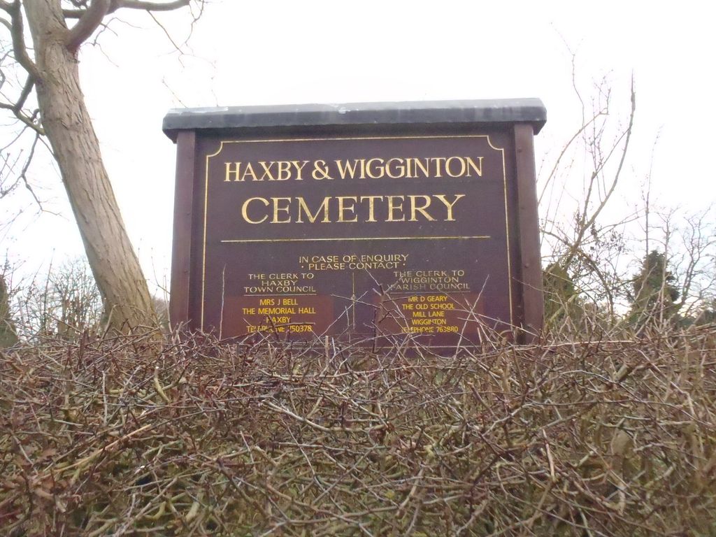
Haxby and Wigginton Cemetery is located at Moor Lane Haxby, York Unitary Authority ,North Yorkshire ,England.
-
Haxby and Wigginton Cemetery cemetery's updated grave count on graveviews.com?
1 memorials
-
Where are the coordinates of the Haxby and Wigginton Cemetery?
Latitude: 54.0219200
Longitude: -1.0808600
Nearby Cemetories:
1. Wigginton Garden of Rest
Wigginton, York Unitary Authority, England
Coordinate: 54.0183970, -1.0851200
2. St. Nicholas' Churchyard
Wigginton, York Unitary Authority, England
Coordinate: 54.0182590, -1.0850720
3. St Mary Churchyard
Haxby, York Unitary Authority, England
Coordinate: 54.0167790, -1.0754230
4. Moorlands Nature Reserve
Skelton, York Unitary Authority, England
Coordinate: 54.0226680, -1.1201180
5. Skelton Parish Council Cemetery
Skelton, York Unitary Authority, England
Coordinate: 54.0070970, -1.1150970
6. All Saints Churchyard
Huntington, York Unitary Authority, England
Coordinate: 53.9977460, -1.0633490
7. St Mary the Virgin Churchyard
Strensall, York Unitary Authority, England
Coordinate: 54.0389130, -1.0394910
8. St. Giles' Churchyard
Skelton, York Unitary Authority, England
Coordinate: 54.0019111, -1.1342660
9. New Lane Cemetery
Huntington, York Unitary Authority, England
Coordinate: 53.9816223, -1.0576156
10. Holy Evangelists Churchyard
Shipton, Hambleton District, England
Coordinate: 54.0234400, -1.1572300
11. St Everilda Churchyard
Nether Poppleton, York Unitary Authority, England
Coordinate: 53.9882060, -1.1403710
12. St Peter Churchyard
Stockton-on-the-Forest, York Unitary Authority, England
Coordinate: 53.9964440, -0.9991290
13. Holy Trinity Churchyard
Stockton-on-the-Forest, York Unitary Authority, England
Coordinate: 53.9960220, -0.9994630
14. All Hallows Churchyard
Sutton-on-the-Forest, Hambleton District, England
Coordinate: 54.0746800, -1.1103500
15. Holy Trinity Churchyard
Heworth, York Unitary Authority, England
Coordinate: 53.9660080, -1.0596980
16. St Giles Churchyard
York, York Unitary Authority, England
Coordinate: 53.9640010, -1.0843930
17. All Hallows Churchyard Extension Cemetery
Sutton-on-the-Forest, Hambleton District, England
Coordinate: 54.0757200, -1.1188700
18. St Maurice Churchyard
York, York Unitary Authority, England
Coordinate: 53.9633340, -1.0782010
19. St Barnabas Church
York, York Unitary Authority, England
Coordinate: 53.9639530, -1.1030490
20. St Olave Churchyard
York, York Unitary Authority, England
Coordinate: 53.9622570, -1.0891560
21. York Minster
York, York Unitary Authority, England
Coordinate: 53.9619440, -1.0819440
22. Abbey of St Mary (defunct)
York, York Unitary Authority, England
Coordinate: 53.9620290, -1.0883600
23. St Michael le Belfrey Churchyard
York, York Unitary Authority, England
Coordinate: 53.9618620, -1.0829730
24. All Saints Churchyard
Upper Poppleton, York Unitary Authority, England
Coordinate: 53.9776970, -1.1510780