
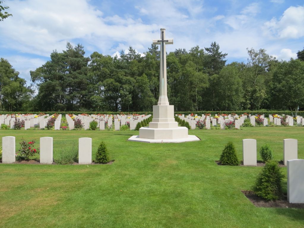
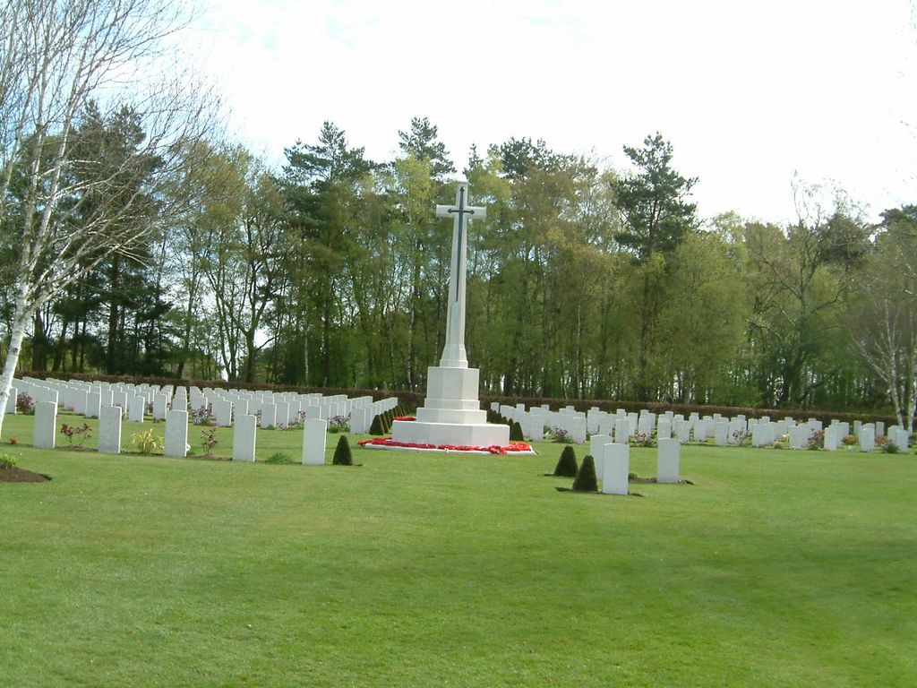
| Memorials | : | 1 |
| Location | : | Cannock, Cannock Chase District, England |
| Coordinate | : | 52.7370710, -2.0266340 |
frequently asked questions (FAQ):
-
Where is Cannock Chase War Cemetery?
Cannock Chase War Cemetery is located at Cannock, Cannock Chase District ,Staffordshire ,England.
-
Cannock Chase War Cemetery cemetery's updated grave count on graveviews.com?
0 memorials
-
Where are the coordinates of the Cannock Chase War Cemetery?
Latitude: 52.7370710
Longitude: -2.0266340
Nearby Cemetories:
1. Cannock Chase German Military Cemetery
Cannock, Cannock Chase District, England
Coordinate: 52.7370580, -2.0265050
2. Cannock Cemetery
Cannock, Cannock Chase District, England
Coordinate: 52.7008790, -2.0288950
3. Our Lady of Lourdes Churchyard
Hednesford, Cannock Chase District, England
Coordinate: 52.7051311, -1.9969935
4. St. Peter's Churchyard
Hednesford, Cannock Chase District, England
Coordinate: 52.7050630, -1.9918330
5. St. James Churchyard
Acton Trussell, South Staffordshire Borough, England
Coordinate: 52.7546980, -2.0943120
6. St. Luke's Churchyard
Cannock, Cannock Chase District, England
Coordinate: 52.6889919, -2.0287352
7. Stile Cop Cemetery
Rugeley, Cannock Chase District, England
Coordinate: 52.7423710, -1.9448220
8. St Mary Roman Catholic Churchyard
Cannock, Cannock Chase District, England
Coordinate: 52.6867620, -2.0283360
9. St John Churchyard
Heath Hayes, Cannock Chase District, England
Coordinate: 52.6914160, -1.9846280
10. St. Michael and All Angels Church
Colwich, Stafford Borough, England
Coordinate: 52.7876070, -1.9853500
11. St. Michael & All Angels Churchyard
Penkridge, South Staffordshire Borough, England
Coordinate: 52.7245874, -2.1181258
12. Saint Mary's Abbey
Colwich, Stafford Borough, England
Coordinate: 52.7900000, -1.9895000
13. St. Saviour Churchyard
Hatherton, South Staffordshire Borough, England
Coordinate: 52.6841730, -2.0660840
14. Rugeley Cemetery
Rugeley, Cannock Chase District, England
Coordinate: 52.7650720, -1.9370440
15. The Old Chancel
Rugeley, Cannock Chase District, England
Coordinate: 52.7648400, -1.9355010
16. St. Augustine's Churchyard
Rugeley, Cannock Chase District, England
Coordinate: 52.7644253, -1.9345868
17. St. Michael's Churchyard
Brereton, Cannock Chase District, England
Coordinate: 52.7451169, -1.9228718
18. St Stephen Churchyard
Great Haywood, Stafford Borough, England
Coordinate: 52.8004360, -2.0049890
19. Christ Church Gentleshaw
Rugeley, Cannock Chase District, England
Coordinate: 52.7050151, -1.9264458
20. St. Mark's Churchyard
Great Wyrley, South Staffordshire Borough, England
Coordinate: 52.6664250, -2.0231955
21. St John's Church Cemetery
Burntwood, Lichfield District, England
Coordinate: 52.6901000, -1.9349300
22. Great Wyrley Cemetery
Great Wyrley, South Staffordshire Borough, England
Coordinate: 52.6642130, -2.0269380
23. Hawkesyard Priory
Rugeley, Cannock Chase District, England
Coordinate: 52.7439175, -1.9032955
24. Stafford Crematorium and Burial Ground
Stafford, Stafford Borough, England
Coordinate: 52.8080900, -2.0747420