
| Memorials | : | 1 |
| Location | : | Crawley Down, Mid Sussex District, England |
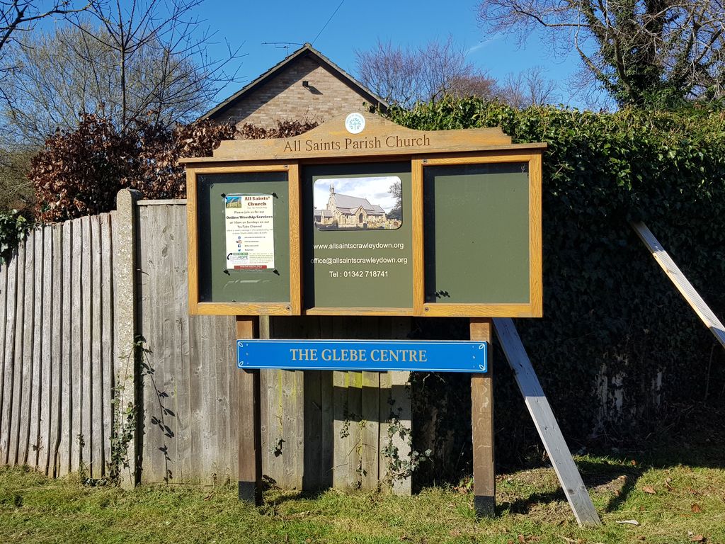
| Website | : | www.allsaintscrawleydown.org/ |
| Coordinate | : | 51.1211200, -0.0830650 |
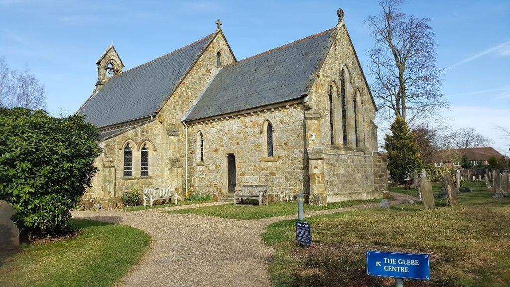
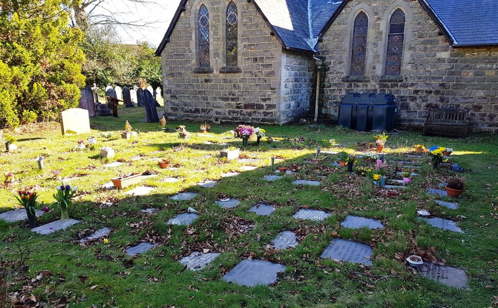
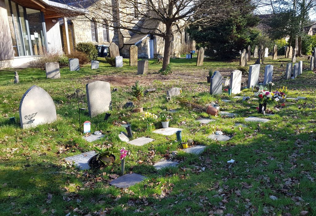
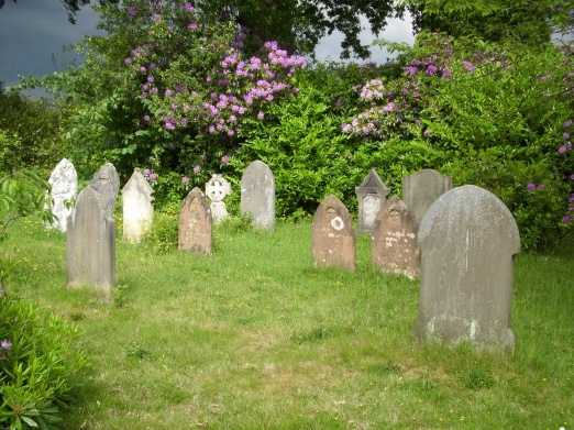
| Description | : | All Saints' Church Crawley Down was first consecrated in 1843. The parish of All Saints, Crawley Down is a semi-rural parish in an expanding, sub-urbanised village with a growing Church of England school. It is situated at the north-easterly tip of the Chichester Diocese, between the High Weald and the Surrey border, equidistant from the towns of Crawley to the west and East Grinstead to the east. |
frequently asked questions (FAQ):
-
Where is All Saints Churchyard?
All Saints Churchyard is located at Crawley Down, Mid Sussex District ,West Sussex ,England.
-
All Saints Churchyard cemetery's updated grave count on graveviews.com?
1 memorials
-
Where are the coordinates of the All Saints Churchyard?
Latitude: 51.1211200
Longitude: -0.0830650


Nearby Cemetories:
1. St Leonard's Church
Turners Hill, Mid Sussex District, England
Coordinate: 51.1023030, -0.0911310
2. St John the Evangelist Churchyard
Copthorne, Crawley Borough, England
Coordinate: 51.1394100, -0.1175700
3. St John The Divine
Felbridge, Tandridge District, England
Coordinate: 51.1414480, -0.0392460
4. St Nicholas Churchyard
Worth, Mid Sussex District, England
Coordinate: 51.1102870, -0.1415280
5. Surrey and Sussex Crematorium
Crawley, Crawley Borough, England
Coordinate: 51.1357000, -0.1469230
6. St Bartholomew Churchyard
Burstow, Tandridge District, England
Coordinate: 51.1558610, -0.1247750
7. St Margaret of Antioch Churchyard
West Hoathly, Mid Sussex District, England
Coordinate: 51.0762500, -0.0555430
8. St. Swithun's Churchyard
East Grinstead, Mid Sussex District, England
Coordinate: 51.1240380, -0.0058020
9. Mount Noddy Cemetery
East Grinstead, Mid Sussex District, England
Coordinate: 51.1316231, -0.0066281
10. Smallfield Ebenezer Chapel Cemetery
Smallfield, Tandridge District, England
Coordinate: 51.1770230, -0.1151960
11. St. Mary the Virgin Churchyard
Horne, Tandridge District, England
Coordinate: 51.1827330, -0.0886630
12. Friary Churchyard of St. Francis and St. Anthony
Crawley, Crawley Borough, England
Coordinate: 51.1133670, -0.1875970
13. St John the Baptist Church
Crawley, Crawley Borough, England
Coordinate: 51.1140840, -0.1892240
14. St Mary's Churchyard
Balcombe, Mid Sussex District, England
Coordinate: 51.0626380, -0.1362240
15. St John the Evangelist Churchyard
Dormansland, Tandridge District, England
Coordinate: 51.1597320, 0.0054300
16. All Saints Churchyard
Highbrook, Mid Sussex District, England
Coordinate: 51.0547981, -0.0573000
17. St Peter and St Paul Churchyard
Lingfield, Tandridge District, England
Coordinate: 51.1763840, -0.0142480
18. Dormansland Baptist Chapelyard
Dormansland, Tandridge District, England
Coordinate: 51.1634300, 0.0073300
19. Forest Row Cemetery
Forest Row, Wealden District, England
Coordinate: 51.0965560, 0.0299760
20. St. Bartholomew's Churchyard
Horley, Reigate and Banstead Borough, England
Coordinate: 51.1698000, -0.1758000
21. Parish of Horley's New Churchyard
Horley, Reigate and Banstead Borough, England
Coordinate: 51.1711120, -0.1747610
22. Holy Trinity Churchyard
Forest Row, Wealden District, England
Coordinate: 51.0980712, 0.0330168
23. Snell Hatch Cemetery
Crawley, Crawley Borough, England
Coordinate: 51.1164130, -0.2053970
24. St. John the Evangelist Churchyard
Blindley Heath, Tandridge District, England
Coordinate: 51.1961510, -0.0536070