| Memorials | : | 0 |
| Location | : | Horne, Tandridge District, England |
| Coordinate | : | 51.1827330, -0.0886630 |
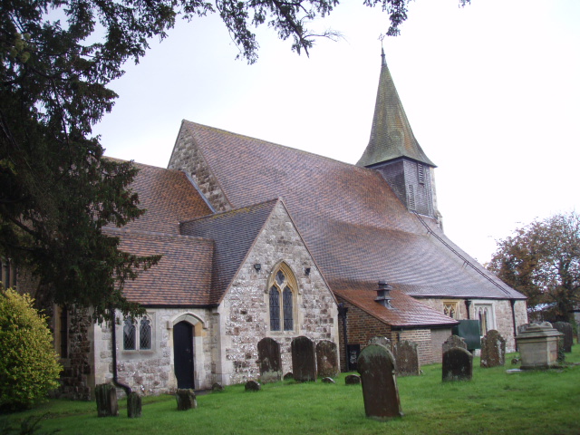
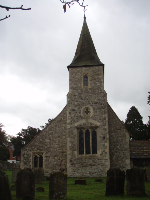
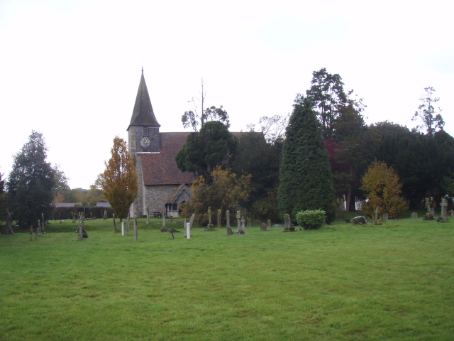
| Description | : | The village can be reached by exiting the A22 at Byers Lane North of Blindley Heath. Postcode area RH6 9**. A temporary air field was established to support the Normandy Landings in early 1944 on farmland straddling Bones Lane. It was constructed in three months and used for just seven weeks from May to June 1944. Thereafter it served as an anti-V-1 rocket balloon site for a month and was returned to Farmland in 1945. The earliest surviving part of the church is the south door dating from 1250. The church has since been altered on a number of... Read More |
frequently asked questions (FAQ):
-
Where is St. Mary the Virgin Churchyard?
St. Mary the Virgin Churchyard is located at Church Road Horne, Tandridge District ,Surrey ,England.
-
St. Mary the Virgin Churchyard cemetery's updated grave count on graveviews.com?
0 memorials
-
Where are the coordinates of the St. Mary the Virgin Churchyard?
Latitude: 51.1827330
Longitude: -0.0886630
Nearby Cemetories:
1. Smallfield Ebenezer Chapel Cemetery
Smallfield, Tandridge District, England
Coordinate: 51.1770230, -0.1151960
2. St John the Baptist Churchyard
Outwood, Tandridge District, England
Coordinate: 51.1981770, -0.1127510
3. St. John the Evangelist Churchyard
Blindley Heath, Tandridge District, England
Coordinate: 51.1961510, -0.0536070
4. St Bartholomew Churchyard
Burstow, Tandridge District, England
Coordinate: 51.1558610, -0.1247750
5. St John the Evangelist Churchyard
Copthorne, Crawley Borough, England
Coordinate: 51.1394100, -0.1175700
6. St Peter and St Paul Churchyard
Lingfield, Tandridge District, England
Coordinate: 51.1763840, -0.0142480
7. St John The Divine
Felbridge, Tandridge District, England
Coordinate: 51.1414480, -0.0392460
8. Parish of Horley's New Churchyard
Horley, Reigate and Banstead Borough, England
Coordinate: 51.1711120, -0.1747610
9. St. Bartholomew's Churchyard
Horley, Reigate and Banstead Borough, England
Coordinate: 51.1698000, -0.1758000
10. Bletchingley Cemetery
Bletchingley, Tandridge District, England
Coordinate: 51.2411080, -0.0911120
11. St Mary Churchyard
Bletchingley, Tandridge District, England
Coordinate: 51.2413460, -0.0994430
12. Surrey and Sussex Crematorium
Crawley, Crawley Borough, England
Coordinate: 51.1357000, -0.1469230
13. All Saints Churchyard
Crawley Down, Mid Sussex District, England
Coordinate: 51.1211200, -0.0830650
14. Dormansland Baptist Chapelyard
Dormansland, Tandridge District, England
Coordinate: 51.1634300, 0.0073300
15. St John the Evangelist Churchyard
Dormansland, Tandridge District, England
Coordinate: 51.1597320, 0.0054300
16. St Peter and St Paul Churchyard
Nutfield, Tandridge District, England
Coordinate: 51.2419780, -0.1258540
17. Redstone Cemetery
Redhill, Reigate and Banstead Borough, England
Coordinate: 51.2310910, -0.1601330
18. Saint Nicholas Churchyard
Godstone, Tandridge District, England
Coordinate: 51.2465740, -0.0567650
19. St Peter Churchyard
Tandridge, Tandridge District, England
Coordinate: 51.2429480, -0.0320950
20. Mount Noddy Cemetery
East Grinstead, Mid Sussex District, England
Coordinate: 51.1316231, -0.0066281
21. Sidlow Bridge Emmanuel Churchyard
Sidlow, Reigate and Banstead Borough, England
Coordinate: 51.2077270, -0.1989510
22. St. Swithun's Churchyard
East Grinstead, Mid Sussex District, England
Coordinate: 51.1240380, -0.0058020
23. St Nicholas Churchyard
Worth, Mid Sussex District, England
Coordinate: 51.1102870, -0.1415280
24. St Leonard's Church
Turners Hill, Mid Sussex District, England
Coordinate: 51.1023030, -0.0911310


