
| Memorials | : | 0 |
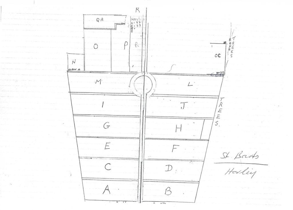
| Location | : | Horley, Reigate and Banstead Borough, England |
| Coordinate | : | 51.1711120, -0.1747610 |
frequently asked questions (FAQ):
-
Where is Parish of Horley's New Churchyard?
Parish of Horley's New Churchyard is located at Church Road Horley, Reigate and Banstead Borough ,Surrey ,England.
-
Parish of Horley's New Churchyard cemetery's updated grave count on graveviews.com?
0 memorials
-
Where are the coordinates of the Parish of Horley's New Churchyard?
Latitude: 51.1711120
Longitude: -0.1747610
Nearby Cemetories:
1. St. Bartholomew's Churchyard
Horley, Reigate and Banstead Borough, England
Coordinate: 51.1698000, -0.1758000
2. St Bartholomew Churchyard
Burstow, Tandridge District, England
Coordinate: 51.1558610, -0.1247750
3. Smallfield Ebenezer Chapel Cemetery
Smallfield, Tandridge District, England
Coordinate: 51.1770230, -0.1151960
4. Charlwood Friends Burial Ground
Charlwood, Mole Valley District, England
Coordinate: 51.1553700, -0.2305800
5. Surrey and Sussex Crematorium
Crawley, Crawley Borough, England
Coordinate: 51.1357000, -0.1469230
6. Sidlow Bridge Emmanuel Churchyard
Sidlow, Reigate and Banstead Borough, England
Coordinate: 51.2077270, -0.1989510
7. St John the Baptist Churchyard
Outwood, Tandridge District, England
Coordinate: 51.1981770, -0.1127510
8. St John the Evangelist Churchyard
Copthorne, Crawley Borough, England
Coordinate: 51.1394100, -0.1175700
9. Friends Meeting House
Ifield, Crawley Borough, England
Coordinate: 51.1263400, -0.2120200
10. St Margaret of Antioch Churchyard
Ifield, Crawley Borough, England
Coordinate: 51.1238700, -0.2194760
11. St. Mary the Virgin Churchyard
Horne, Tandridge District, England
Coordinate: 51.1827330, -0.0886630
12. St John the Baptist Church
Crawley, Crawley Borough, England
Coordinate: 51.1140840, -0.1892240
13. Snell Hatch Cemetery
Crawley, Crawley Borough, England
Coordinate: 51.1164130, -0.2053970
14. Friary Churchyard of St. Francis and St. Anthony
Crawley, Crawley Borough, England
Coordinate: 51.1133670, -0.1875970
15. St. Bartholomew's Churchyard
Leigh, Mole Valley District, England
Coordinate: 51.2085790, -0.2483520
16. Redstone Cemetery
Redhill, Reigate and Banstead Borough, England
Coordinate: 51.2310910, -0.1601330
17. St Nicholas Churchyard
Worth, Mid Sussex District, England
Coordinate: 51.1102870, -0.1415280
18. Reigate Cemetery
Reigate, Reigate and Banstead Borough, England
Coordinate: 51.2353550, -0.1977820
19. Quakers Burial Ground
Reigate, Reigate and Banstead Borough, England
Coordinate: 51.2372600, -0.1936700
20. St Mary Magdalene Churchyard
Reigate, Reigate and Banstead Borough, England
Coordinate: 51.2368540, -0.1972560
21. St Peter Churchyard
Newdigate, Mole Valley District, England
Coordinate: 51.1652200, -0.2884860
22. All Saints Churchyard
Crawley Down, Mid Sussex District, England
Coordinate: 51.1211200, -0.0830650
23. St Peter and St Paul Churchyard
Nutfield, Tandridge District, England
Coordinate: 51.2419780, -0.1258540
24. St. John the Evangelist Churchyard
Blindley Heath, Tandridge District, England
Coordinate: 51.1961510, -0.0536070