| Memorials | : | 5 |
| Location | : | Arnos Vale, Bristol Unitary Authority, England |
| Coordinate | : | 51.4423740, -2.5648680 |
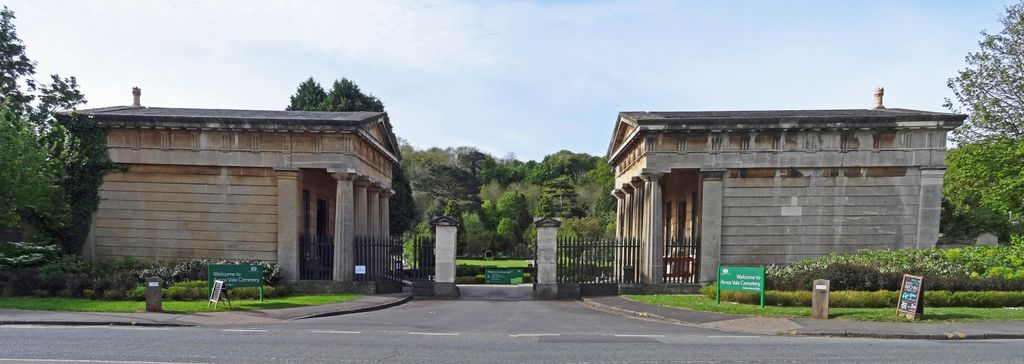
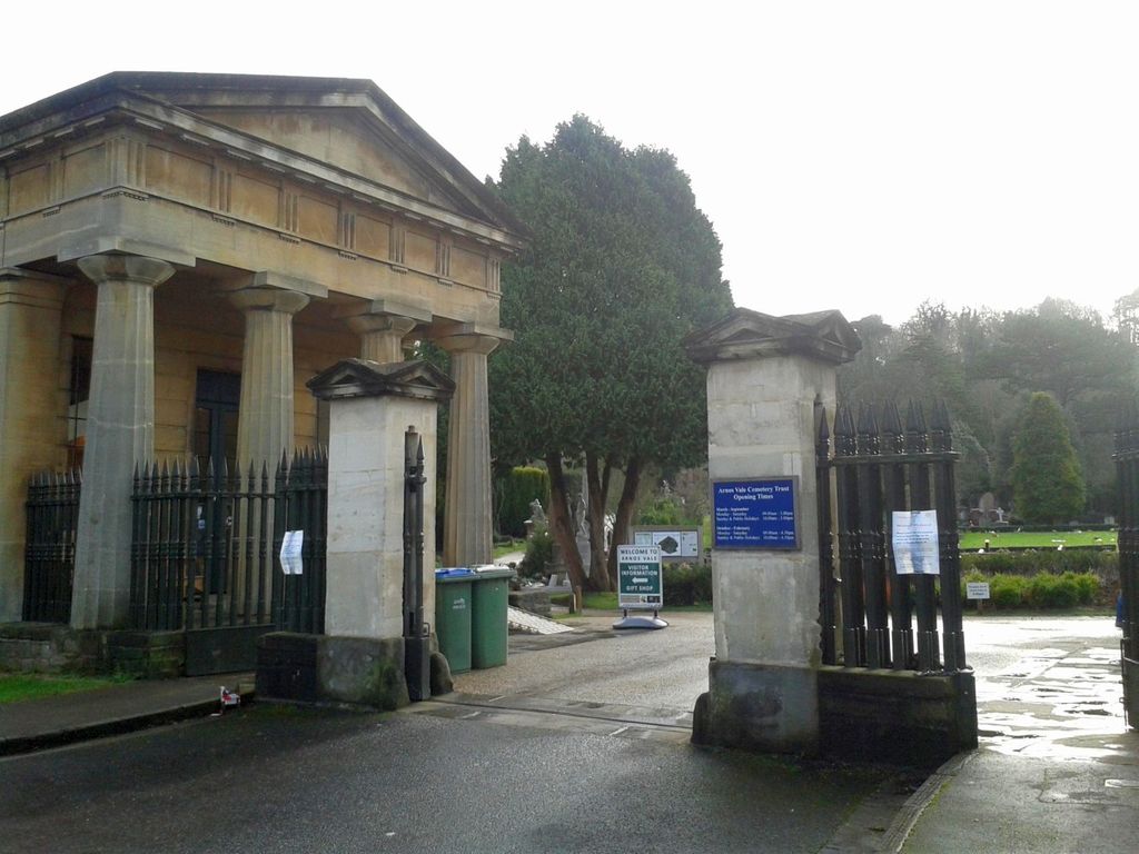
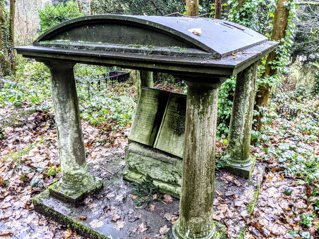
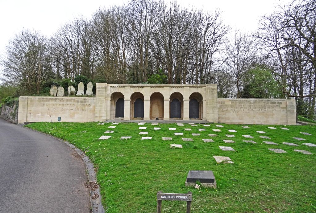
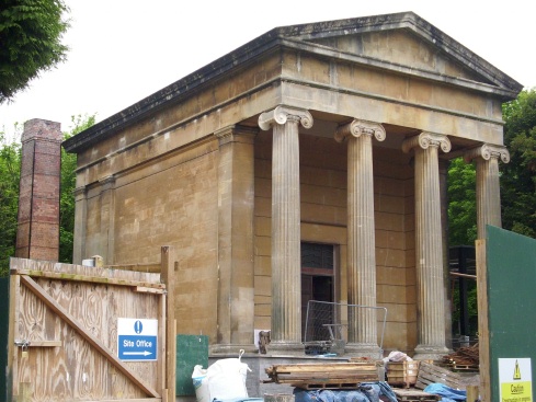
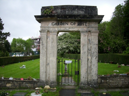
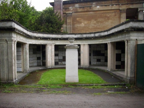
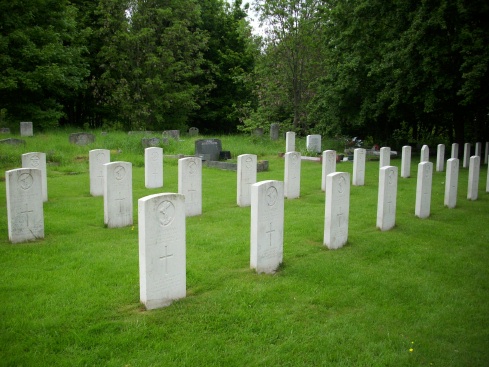
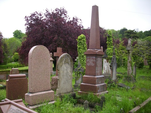
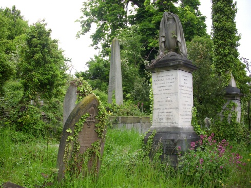
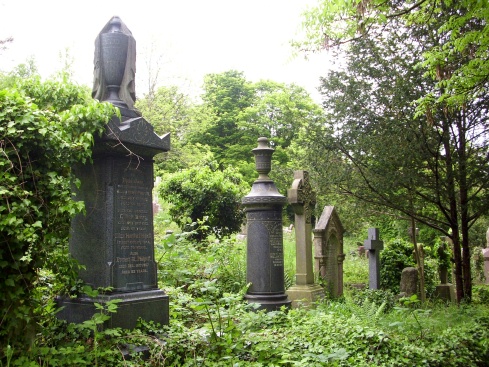
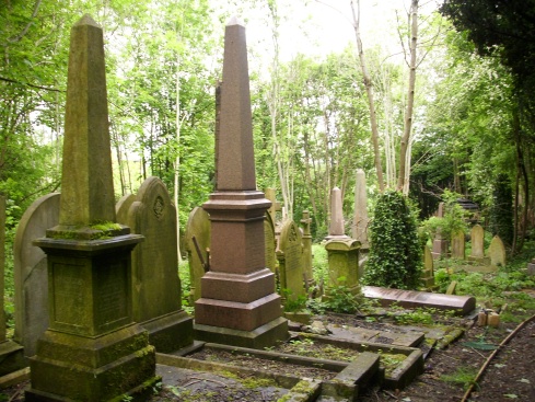
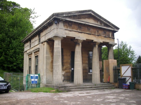
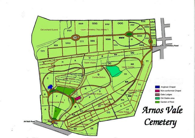
| Description | : | The Bristol General Cemetery Company opened Arnos Vale for burials in 1839. Since then there have been well over 170,000 burials and although it's eventual 45 acres suffered from neglect in the late 20th century, it survives as a working cemetery and it has been wonderfully restored with local community campaigning and support. In 1928 the first crematorium in the South West of England opened for business at Arnos Vale and between then and the closure of the crematorium in the 1990's, an estimated 124,000 cremations took place. The Gardens of rest are still used for scatterings and there are... Read More |
frequently asked questions (FAQ):
-
Where is Arnos Vale Cemetery and Crematorium?
Arnos Vale Cemetery and Crematorium is located at Bath Road, Bristol Arnos Vale, Bristol Unitary Authority ,Bristol , BS4 3EWEngland.
-
Arnos Vale Cemetery and Crematorium cemetery's updated grave count on graveviews.com?
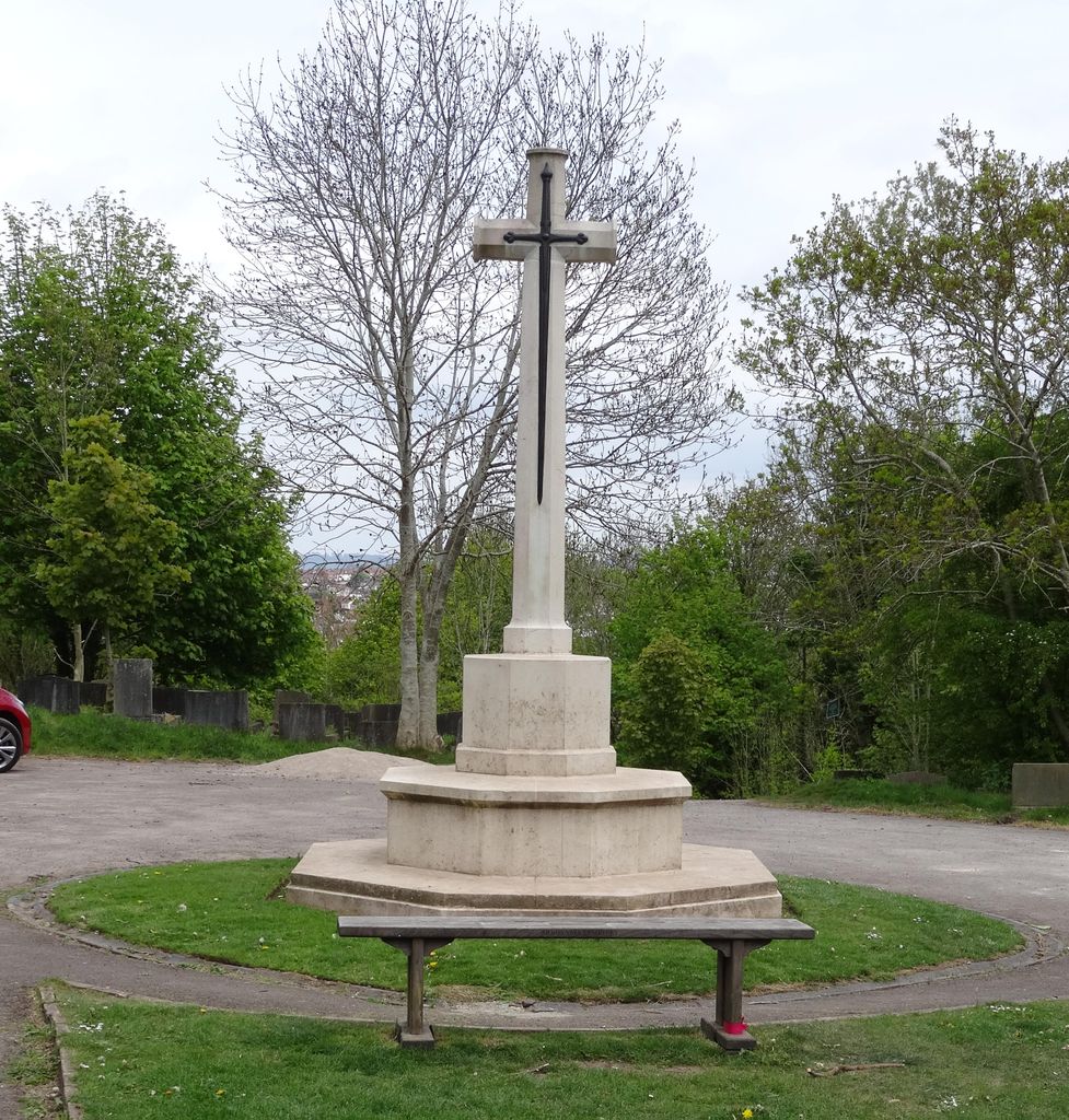
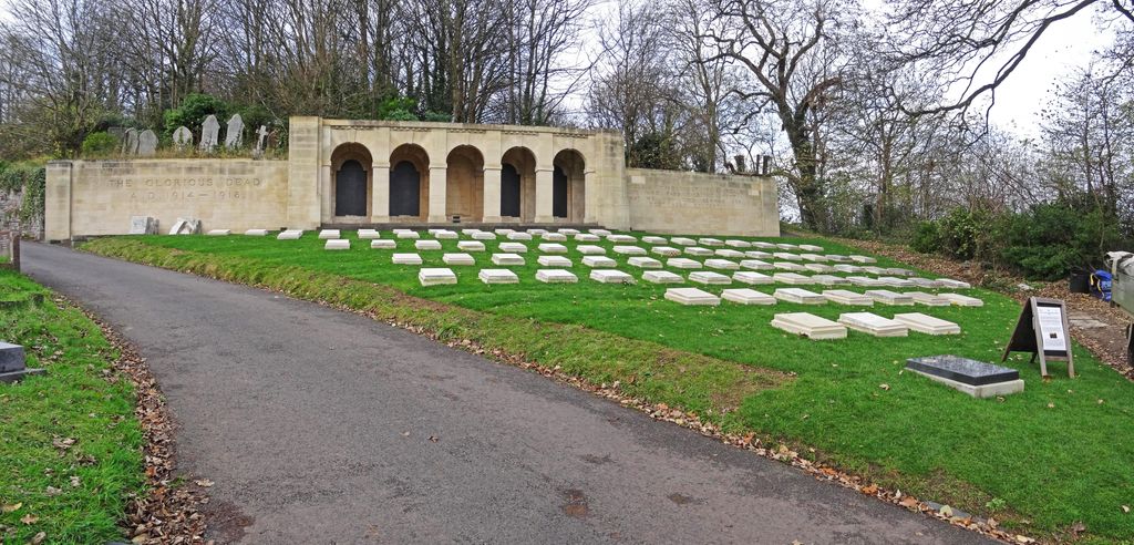
5 memorials
-
Where are the coordinates of the Arnos Vale Cemetery and Crematorium?
Latitude: 51.4423740
Longitude: -2.5648680
Nearby Cemetories:
1. St. Mary Redcliffe Cemetery
Arnos Vale, Bristol Unitary Authority, England
Coordinate: 51.4428370, -2.5646220
2. Holy Souls Catholic Cemetery
Arnos Vale, Bristol Unitary Authority, England
Coordinate: 51.4422800, -2.5639300
3. Barton Hill School Memorial
Barton Hill, Bristol Unitary Authority, England
Coordinate: 51.4544350, -2.5640030
4. St Luke’s Church burial ground
Barton Hill, Bristol Unitary Authority, England
Coordinate: 51.4544500, -2.5639600
5. Barton Road Jewish Cemetery
St Phillips, Bristol Unitary Authority, England
Coordinate: 51.4531400, -2.5779800
6. Brislington Cemetery
Brislington, Bristol Unitary Authority, England
Coordinate: 51.4355480, -2.5438020
7. St Mary the Virgin Churchyard
Redcliffe, Bristol Unitary Authority, England
Coordinate: 51.4482800, -2.5895460
8. Temple Churchyard
Bristol, Bristol Unitary Authority, England
Coordinate: 51.4520010, -2.5868870
9. Temple Church Churchyard
Redcliffe, Bristol Unitary Authority, England
Coordinate: 51.4521160, -2.5867630
10. Holy Trinity Church
St Phillips, Bristol Unitary Authority, England
Coordinate: 51.4580335, -2.5760701
11. Quaker Burial Ground
Redcliffe, Bristol Unitary Authority, England
Coordinate: 51.4486700, -2.5905900
12. St Philip and St Jacob Churchyard
Bristol, Bristol Unitary Authority, England
Coordinate: 51.4545420, -2.5844690
13. Wesleyan Methodist Church
Redfield, Bristol Unitary Authority, England
Coordinate: 51.4589300, -2.5569000
14. Avon View Cemetery
St George, Bristol Unitary Authority, England
Coordinate: 51.4574000, -2.5493680
15. Redcross Street Burial Ground (Defunct)
Bristol Unitary Authority, England
Coordinate: 51.4563073, -2.5833100
16. St. Peter's Churchyard
Bristol, Bristol Unitary Authority, England
Coordinate: 51.4553560, -2.5896930
17. Whitfield's Tabernacle
St Pauls, Bristol Unitary Authority, England
Coordinate: 51.4579500, -2.5860800
18. Black Friars Priory
Bristol, Bristol Unitary Authority, England
Coordinate: 51.4572220, -2.5877780
19. Quakers Friars Burial Ground
Bristol, Bristol Unitary Authority, England
Coordinate: 51.4572220, -2.5877780
20. St Nicholas Churchyard
Bristol, Bristol Unitary Authority, England
Coordinate: 51.4539170, -2.5923050
21. St John the Baptist Church Demolished
Bedminster, Bristol Unitary Authority, England
Coordinate: 51.4400110, -2.5982980
22. Christ Church Churchyard
Bristol, Bristol Unitary Authority, England
Coordinate: 51.4213270, -2.5632460
23. St Stephen's Churchyard
Bristol, Bristol Unitary Authority, England
Coordinate: 51.4535380, -2.5937270
24. St Paul's Churchyard
Bedminster, Bristol Unitary Authority, England
Coordinate: 51.4452800, -2.5989500

