
| Memorials | : | 0 |
| Location | : | Arnos Vale, Bristol Unitary Authority, England |
| Coordinate | : | 51.4422800, -2.5639300 |
frequently asked questions (FAQ):
-
Where is Holy Souls Catholic Cemetery?
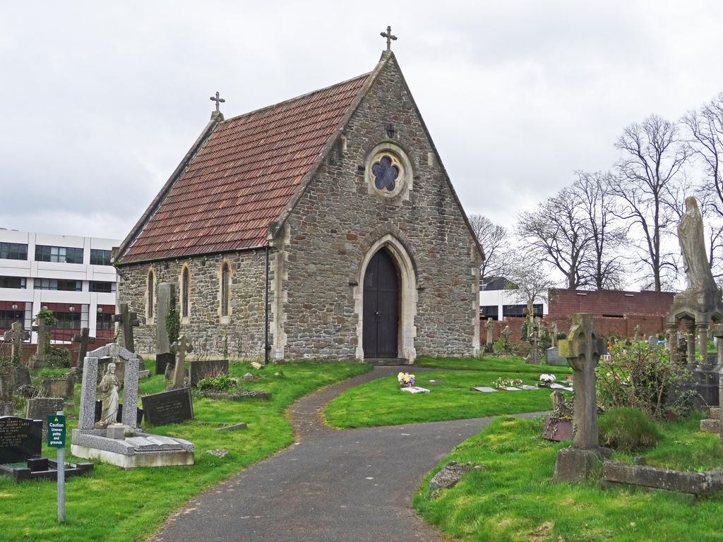
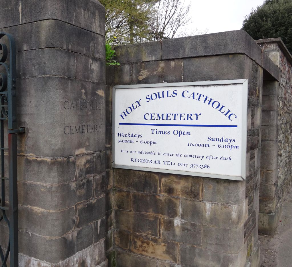
Holy Souls Catholic Cemetery is located at 4 Edward Road Arnos Vale, Bristol Unitary Authority ,Bristol , BS4 3ESEngland.
-
Holy Souls Catholic Cemetery cemetery's updated grave count on graveviews.com?
0 memorials
-
Where are the coordinates of the Holy Souls Catholic Cemetery?
Latitude: 51.4422800
Longitude: -2.5639300


Nearby Cemetories:
1. Arnos Vale Cemetery and Crematorium
Arnos Vale, Bristol Unitary Authority, England
Coordinate: 51.4423740, -2.5648680
2. St. Mary Redcliffe Cemetery
Arnos Vale, Bristol Unitary Authority, England
Coordinate: 51.4428370, -2.5646220
3. Barton Hill School Memorial
Barton Hill, Bristol Unitary Authority, England
Coordinate: 51.4544350, -2.5640030
4. St Luke’s Church burial ground
Barton Hill, Bristol Unitary Authority, England
Coordinate: 51.4544500, -2.5639600
5. Barton Road Jewish Cemetery
St Phillips, Bristol Unitary Authority, England
Coordinate: 51.4531400, -2.5779800
6. Brislington Cemetery
Brislington, Bristol Unitary Authority, England
Coordinate: 51.4355480, -2.5438020
7. St Mary the Virgin Churchyard
Redcliffe, Bristol Unitary Authority, England
Coordinate: 51.4482800, -2.5895460
8. Wesleyan Methodist Church
Redfield, Bristol Unitary Authority, England
Coordinate: 51.4589300, -2.5569000
9. Temple Churchyard
Bristol, Bristol Unitary Authority, England
Coordinate: 51.4520010, -2.5868870
10. Temple Church Churchyard
Redcliffe, Bristol Unitary Authority, England
Coordinate: 51.4521160, -2.5867630
11. Holy Trinity Church
St Phillips, Bristol Unitary Authority, England
Coordinate: 51.4580335, -2.5760701
12. Avon View Cemetery
St George, Bristol Unitary Authority, England
Coordinate: 51.4574000, -2.5493680
13. St Philip and St Jacob Churchyard
Bristol, Bristol Unitary Authority, England
Coordinate: 51.4545420, -2.5844690
14. Quaker Burial Ground
Redcliffe, Bristol Unitary Authority, England
Coordinate: 51.4486700, -2.5905900
15. Redcross Street Burial Ground (Defunct)
Bristol Unitary Authority, England
Coordinate: 51.4563073, -2.5833100
16. St. Peter's Churchyard
Bristol, Bristol Unitary Authority, England
Coordinate: 51.4553560, -2.5896930
17. Whitfield's Tabernacle
St Pauls, Bristol Unitary Authority, England
Coordinate: 51.4579500, -2.5860800
18. Christ Church Churchyard
Bristol, Bristol Unitary Authority, England
Coordinate: 51.4213270, -2.5632460
19. Black Friars Priory
Bristol, Bristol Unitary Authority, England
Coordinate: 51.4572220, -2.5877780
20. Quakers Friars Burial Ground
Bristol, Bristol Unitary Authority, England
Coordinate: 51.4572220, -2.5877780
21. St Nicholas Churchyard
Bristol, Bristol Unitary Authority, England
Coordinate: 51.4539170, -2.5923050
22. St John the Baptist Church Demolished
Bedminster, Bristol Unitary Authority, England
Coordinate: 51.4400110, -2.5982980
23. St Stephen's Churchyard
Bristol, Bristol Unitary Authority, England
Coordinate: 51.4535380, -2.5937270
24. Holy Trinity Church
Bristol, Bristol Unitary Authority, England
Coordinate: 51.4559548, -2.5915587