
| Memorials | : | 0 |
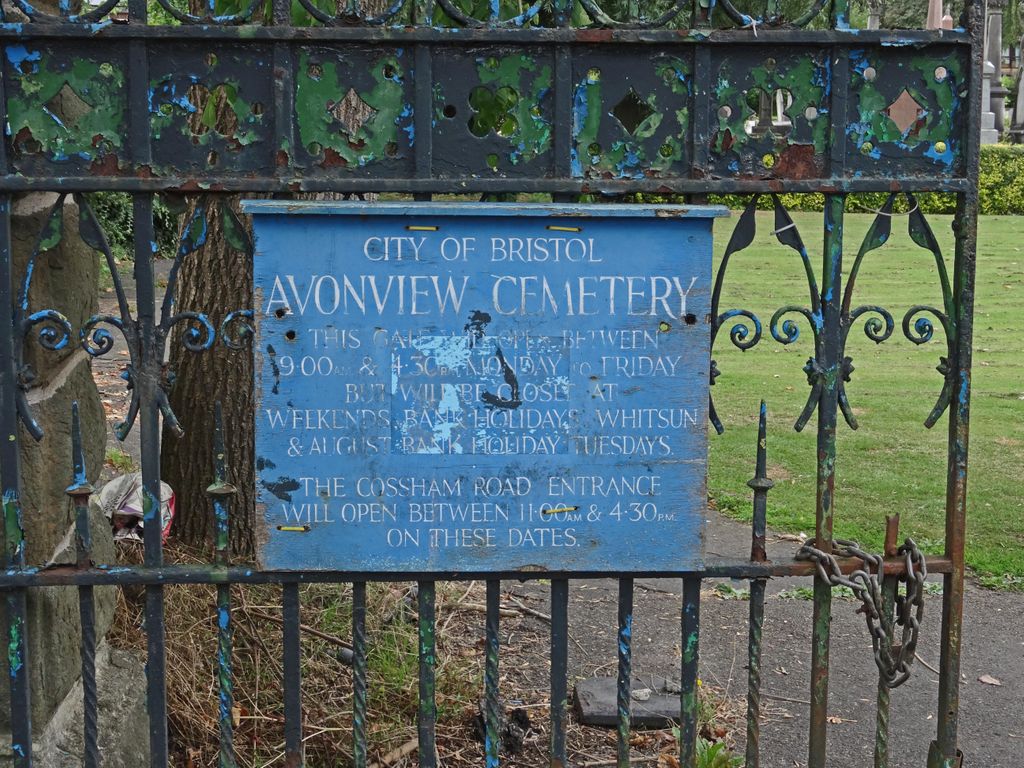
| Location | : | St George, Bristol Unitary Authority, England |
| Coordinate | : | 51.4574000, -2.5493680 |
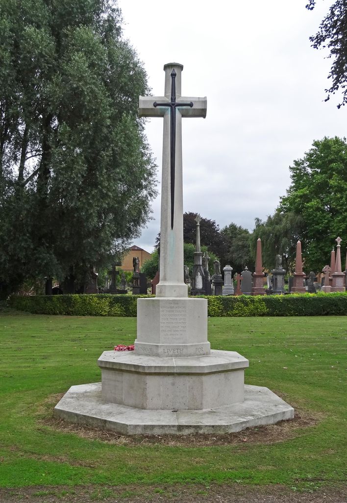
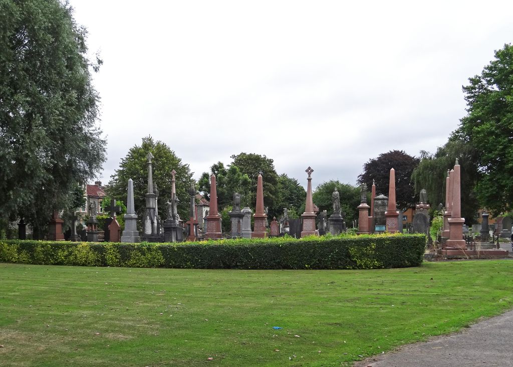
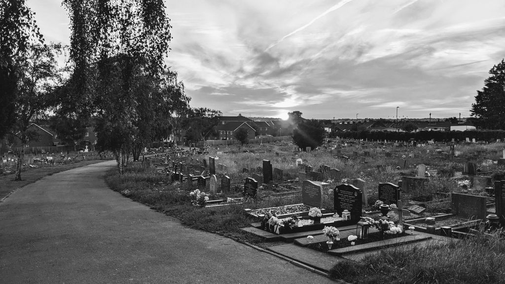
| Description | : | During both wars, there were a number of military hospitals at Bristol and the city was the depot of the Gloucestershire Regiment. During the Second World War there were also a number of Royal Air Force stations and prisoner of war camps in the area. Bristol (Avon View) Cemetery contains 83 First World War burials and 53 from the Second World War, all scattered throughout the cemetery. |
frequently asked questions (FAQ):
-
Where is Avon View Cemetery?
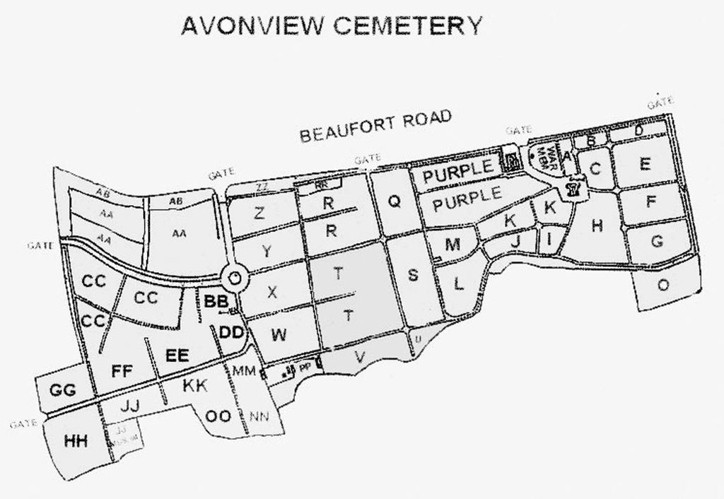
Avon View Cemetery is located at Beaufort Road St George, Bristol Unitary Authority ,Bristol , BS5 8ENEngland.
-
Avon View Cemetery cemetery's updated grave count on graveviews.com?
0 memorials
-
Where are the coordinates of the Avon View Cemetery?
Latitude: 51.4574000
Longitude: -2.5493680
Nearby Cemetories:
1. Wesleyan Methodist Church
Redfield, Bristol Unitary Authority, England
Coordinate: 51.4589300, -2.5569000
2. St Luke’s Church burial ground
Barton Hill, Bristol Unitary Authority, England
Coordinate: 51.4544500, -2.5639600
3. Barton Hill School Memorial
Barton Hill, Bristol Unitary Authority, England
Coordinate: 51.4544350, -2.5640030
4. Greenbank Cemetery
Eastville, Bristol Unitary Authority, England
Coordinate: 51.4683610, -2.5540270
5. Greenbank Masjid
Easton, Bristol Unitary Authority, England
Coordinate: 51.4679410, -2.5578030
6. St Mark Churchyard
Easton, Bristol Unitary Authority, England
Coordinate: 51.4668240, -2.5646860
7. Holy Trinity Church
St Phillips, Bristol Unitary Authority, England
Coordinate: 51.4580335, -2.5760701
8. St. Mary Redcliffe Cemetery
Arnos Vale, Bristol Unitary Authority, England
Coordinate: 51.4428370, -2.5646220
9. Ridgeway Jewish Cemetery
Bristol, Bristol Unitary Authority, England
Coordinate: 51.4749930, -2.5488700
10. Holy Souls Catholic Cemetery
Arnos Vale, Bristol Unitary Authority, England
Coordinate: 51.4422800, -2.5639300
11. Arnos Vale Cemetery and Crematorium
Arnos Vale, Bristol Unitary Authority, England
Coordinate: 51.4423740, -2.5648680
12. St Michael the Archangel Churchyard
Bristol Unitary Authority, England
Coordinate: 51.4619199, -2.5211279
13. Ridgeway Park Cemetery
Bristol, Bristol Unitary Authority, England
Coordinate: 51.4755800, -2.5494800
14. Barton Road Jewish Cemetery
St Phillips, Bristol Unitary Authority, England
Coordinate: 51.4531400, -2.5779800
15. Christ Church Churchyard
Hanham, South Gloucestershire Unitary Authority, England
Coordinate: 51.4484992, -2.5222650
16. Hanham United Reform Church Cemetery
Hanham, South Gloucestershire Unitary Authority, England
Coordinate: 51.4509706, -2.5189809
17. Redcross Street Burial Ground (Defunct)
Bristol Unitary Authority, England
Coordinate: 51.4563073, -2.5833100
18. St Philip and St Jacob Churchyard
Bristol, Bristol Unitary Authority, England
Coordinate: 51.4545420, -2.5844690
19. St Werburgh's Church
Bristol, Bristol Unitary Authority, England
Coordinate: 51.4717464, -2.5763725
20. Brislington Cemetery
Brislington, Bristol Unitary Authority, England
Coordinate: 51.4355480, -2.5438020
21. St Pauls Churchyard
Bristol, Bristol Unitary Authority, England
Coordinate: 51.4611550, -2.5847190
22. Whitfield's Tabernacle
St Pauls, Bristol Unitary Authority, England
Coordinate: 51.4579500, -2.5860800
23. Kingswood Methodist Church Burial Ground
Kingswood, South Gloucestershire Unitary Authority, England
Coordinate: 51.4637200, -2.5134100
24. Holy Trinity Churchyard
Stapleton, Bristol Unitary Authority, England
Coordinate: 51.4802770, -2.5579510