
| Memorials | : | 1 |
| Location | : | Louisville, Jefferson County, USA |
| Coordinate | : | 38.2943910, -85.6404680 |
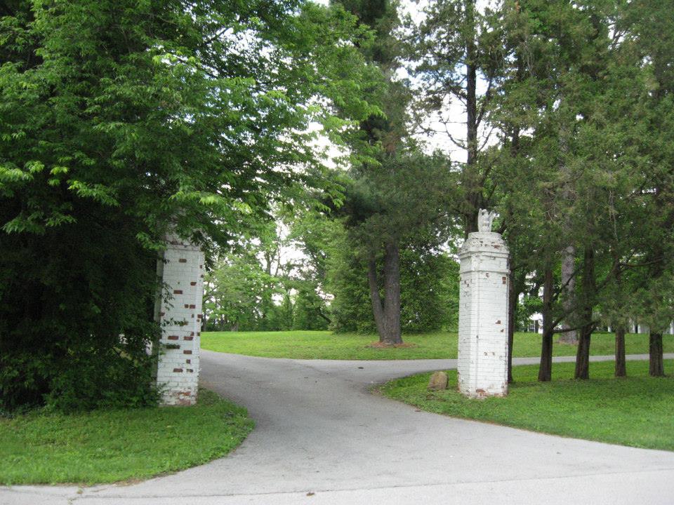
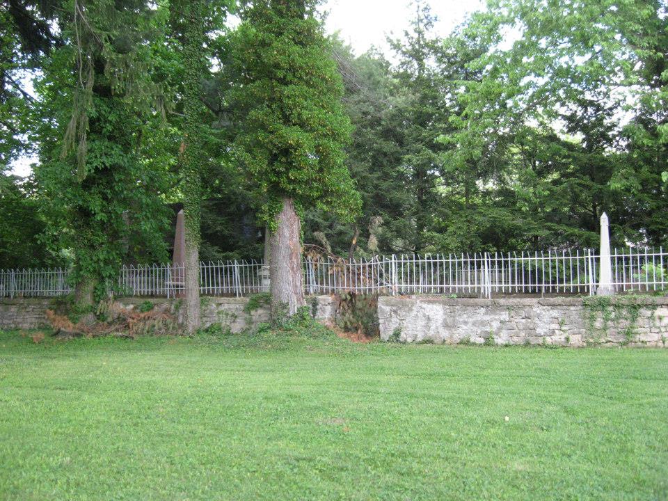
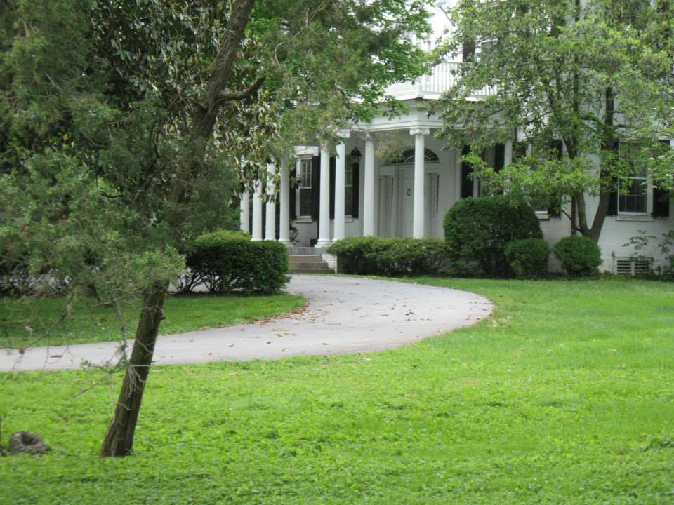
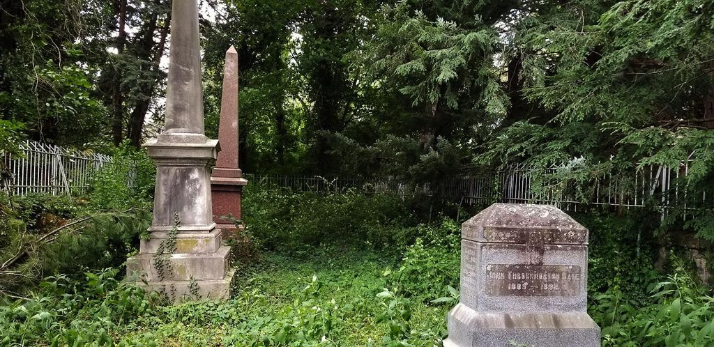
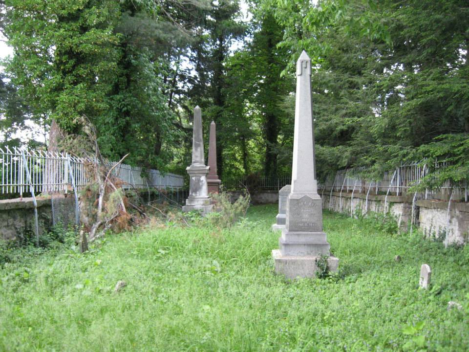
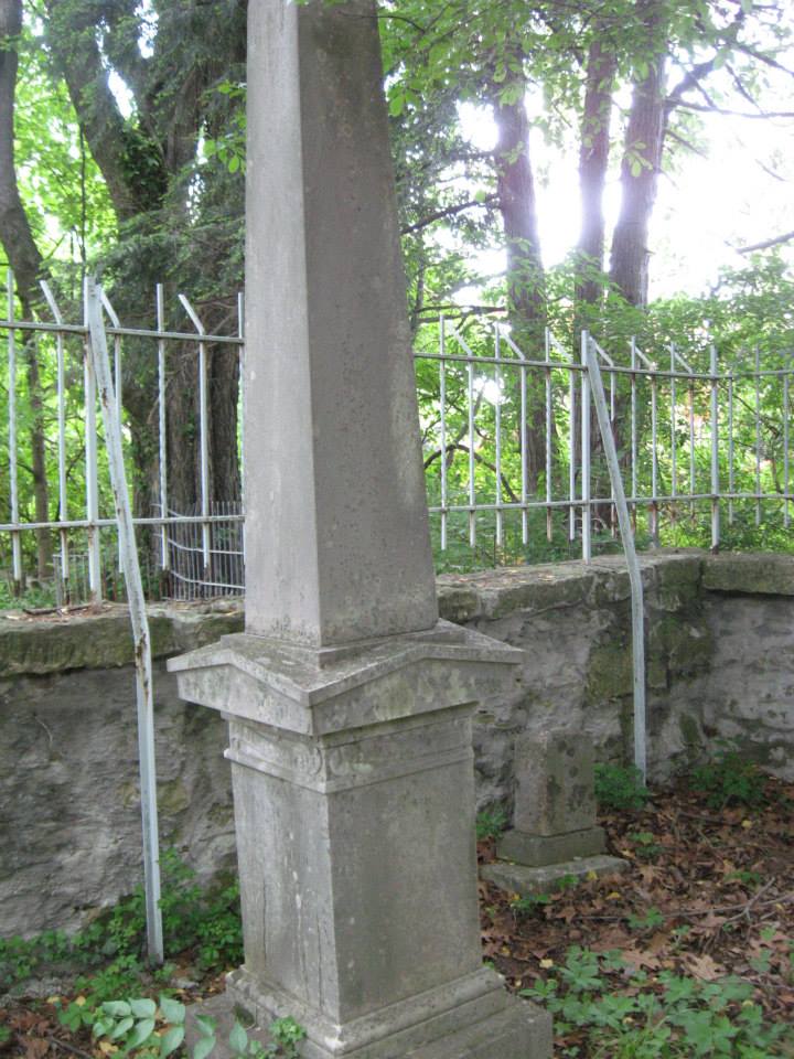
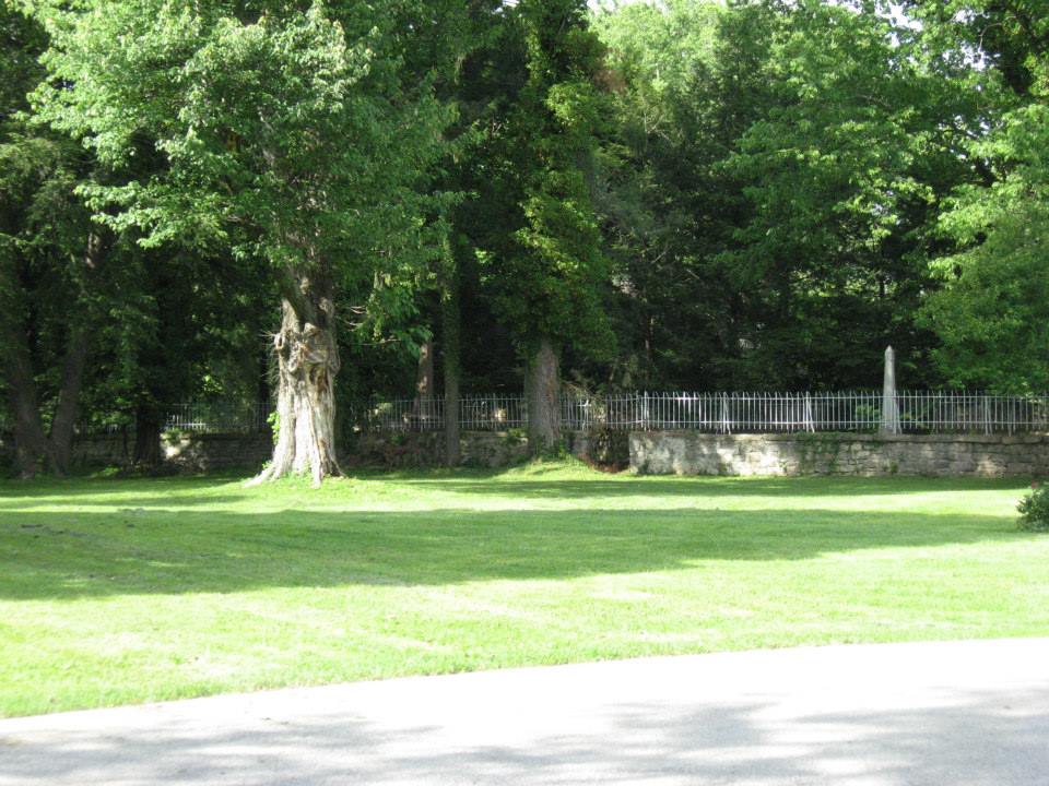
| Description | : | Robert Foster Johnson noted in his Wilderness Road Cemetery book, pub. 1981, that the property now belongs to Mrs. Jacqueline. It is about one mile north of Zachary Taylor Cemetery on hill overlooking Ohio River on spot 100 yds. behind the beautiful cabin home of Mrs. Kirchner. Approx. 25 graves. This is the original Bate Family plot. The owner says it was a land grant of several thousand acres, stretching all the way from Zorn Avenue and the Veteran's Hospital nearly to the mouth of Harrod's Creek. The mansion of around 100 rooms still stands. It is exactly 1/8 mile... Read More |
frequently asked questions (FAQ):
-
Where is Berry Hill Cemetery?
Berry Hill Cemetery is located at 5907-R Burlington Avenue Louisville, Jefferson County ,Kentucky ,USA.
-
Berry Hill Cemetery cemetery's updated grave count on graveviews.com?
1 memorials
-
Where are the coordinates of the Berry Hill Cemetery?
Latitude: 38.2943910
Longitude: -85.6404680
Nearby Cemetories:
1. Herr Cemetery #3
Louisville, Jefferson County, USA
Coordinate: 38.2756430, -85.6391020
2. Christ Church United Methodist Memorial Garden
Louisville, Jefferson County, USA
Coordinate: 38.2740750, -85.6446790
3. Saint Francis in the Fields Memorial Garden
Harrods Creek, Jefferson County, USA
Coordinate: 38.3210520, -85.6248870
4. Murray-Young Cemetery
Lyndon, Jefferson County, USA
Coordinate: 38.2901887, -85.5873743
5. Arterburn Cemetery
Saint Matthews, Jefferson County, USA
Coordinate: 38.2552000, -85.6609900
6. Adams Family Cemetery (Defunct)
Jeffersonville, Clark County, USA
Coordinate: 38.3150300, -85.6887200
7. Hillcrest Cemetery
Utica, Clark County, USA
Coordinate: 38.3391991, -85.6514969
8. Bullitt Family Cemetery
Louisville, Jefferson County, USA
Coordinate: 38.2463450, -85.6135210
9. Saint Thomas Episcopal Church Meditation Garden
Jefferson County, USA
Coordinate: 38.2861100, -85.5743700
10. Smith Family Cemetery
Utica, Clark County, USA
Coordinate: 38.3389000, -85.6764000
11. Ormsby Graveyard
Lyndon, Jefferson County, USA
Coordinate: 38.2653600, -85.5800600
12. Parks Cemetery
Plymouth Village, Jefferson County, USA
Coordinate: 38.2377280, -85.6486690
13. Brown Family Cemetery
Saint Matthews, Jefferson County, USA
Coordinate: 38.2375660, -85.6331750
14. Lentz Heirs Cemetery
Utica, Clark County, USA
Coordinate: 38.3510017, -85.6511002
15. Lentz Family Cemetery
Utica, Clark County, USA
Coordinate: 38.3513780, -85.6510770
16. Espy Cemetery
Clark County, USA
Coordinate: 38.3276863, -85.7010498
17. Floyd-Breckinridge Cemetery
Plymouth Village, Jefferson County, USA
Coordinate: 38.2366982, -85.6489029
18. Steele Cemetery
Goshen, Oldham County, USA
Coordinate: 38.3370560, -85.5886940
19. Burtt Cemetery
Utica, Clark County, USA
Coordinate: 38.3496017, -85.6719971
20. Lawrence Family Cemetery
Hurstbourne, Jefferson County, USA
Coordinate: 38.2515259, -85.5847015
21. Burks Family Cemetery
Saint Matthews, Jefferson County, USA
Coordinate: 38.2318130, -85.6408060
22. Civil War Cemetery #2
Jeffersonville, Clark County, USA
Coordinate: 38.2818400, -85.7206700
23. Civil War Cemetery #3
Jeffersonville, Clark County, USA
Coordinate: 38.2848790, -85.7217790
24. Hackberry Cemetery
Louisville, Jefferson County, USA
Coordinate: 38.2514500, -85.7032170