
| Memorials | : | 102 |
| Location | : | Edenham, South Kesteven District, England |
| Coordinate | : | 52.7836110, -0.4266560 |
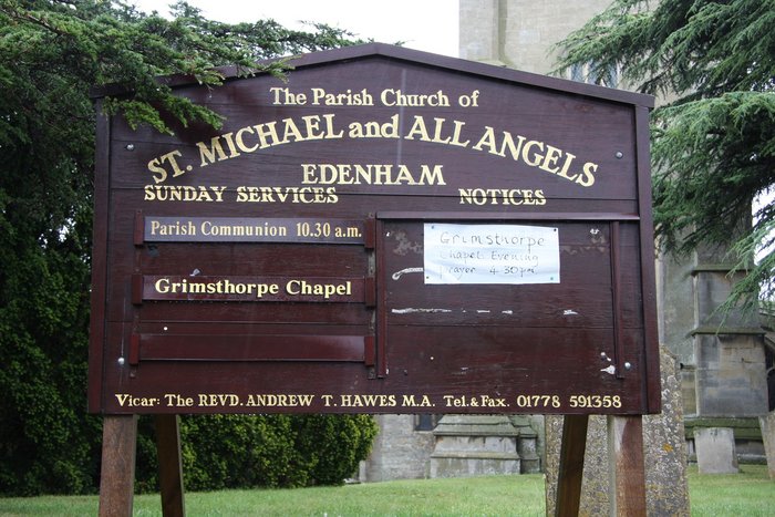
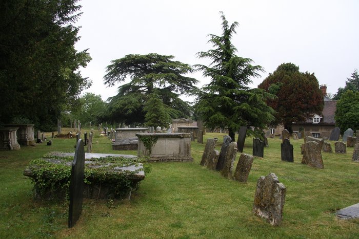
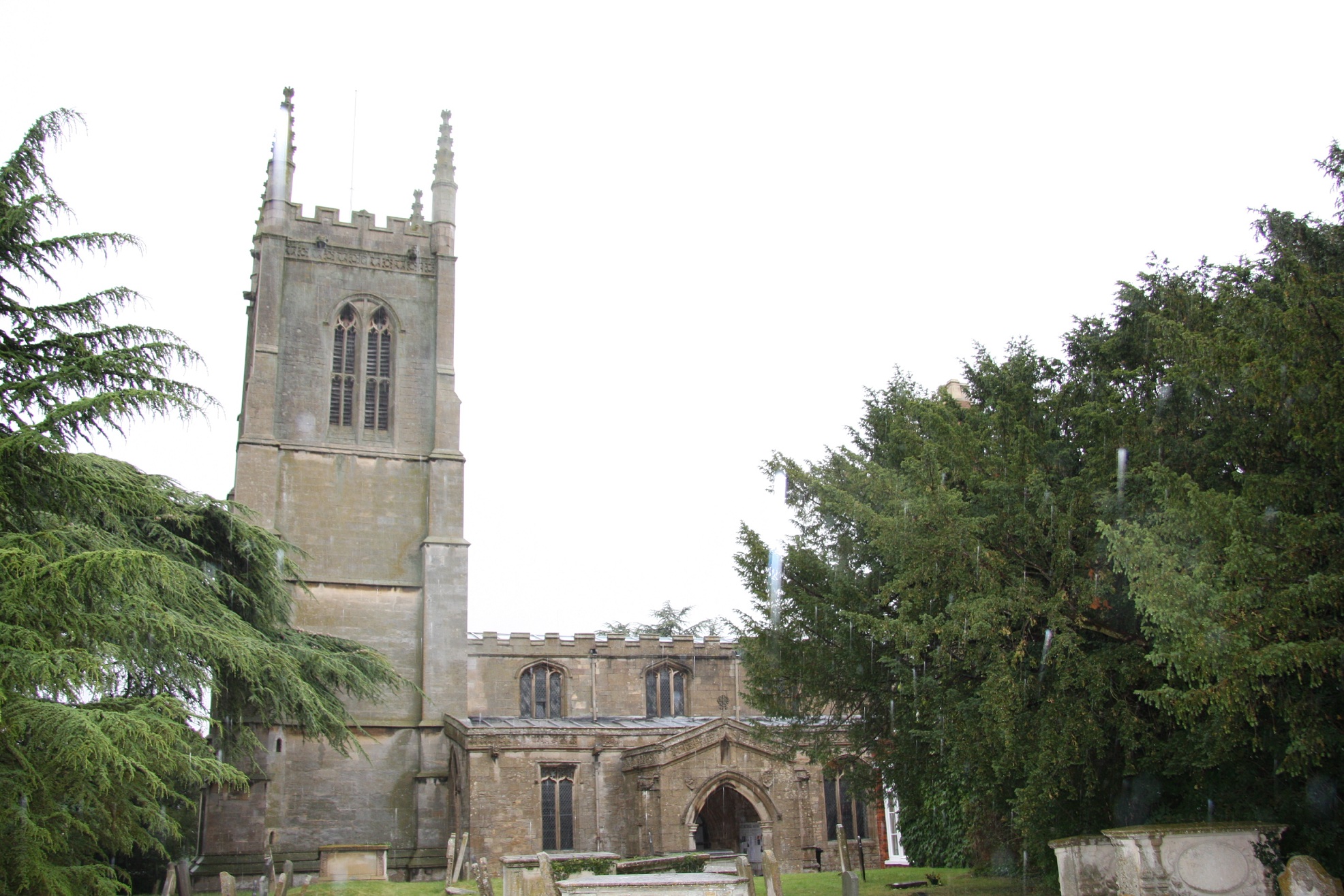
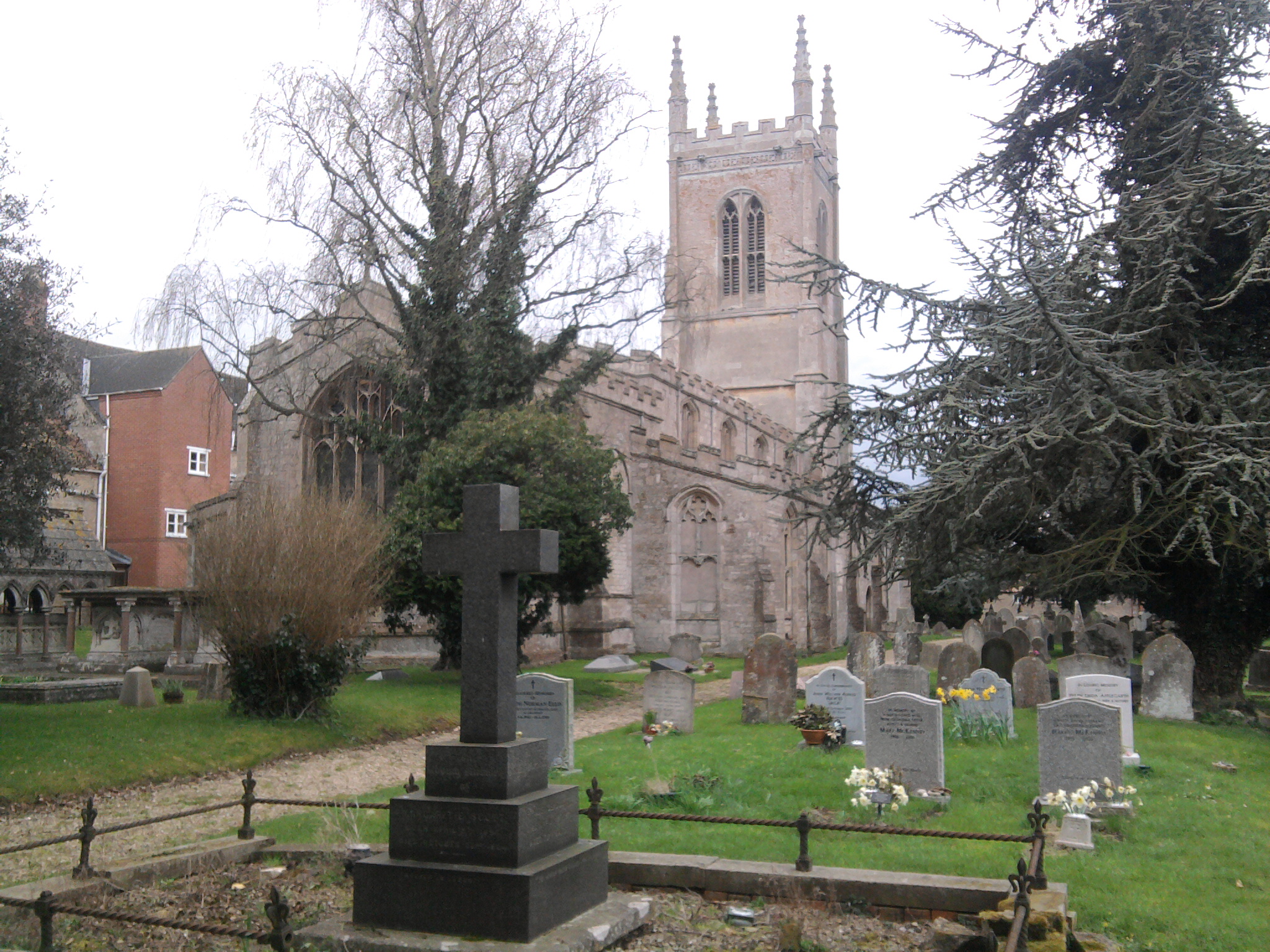
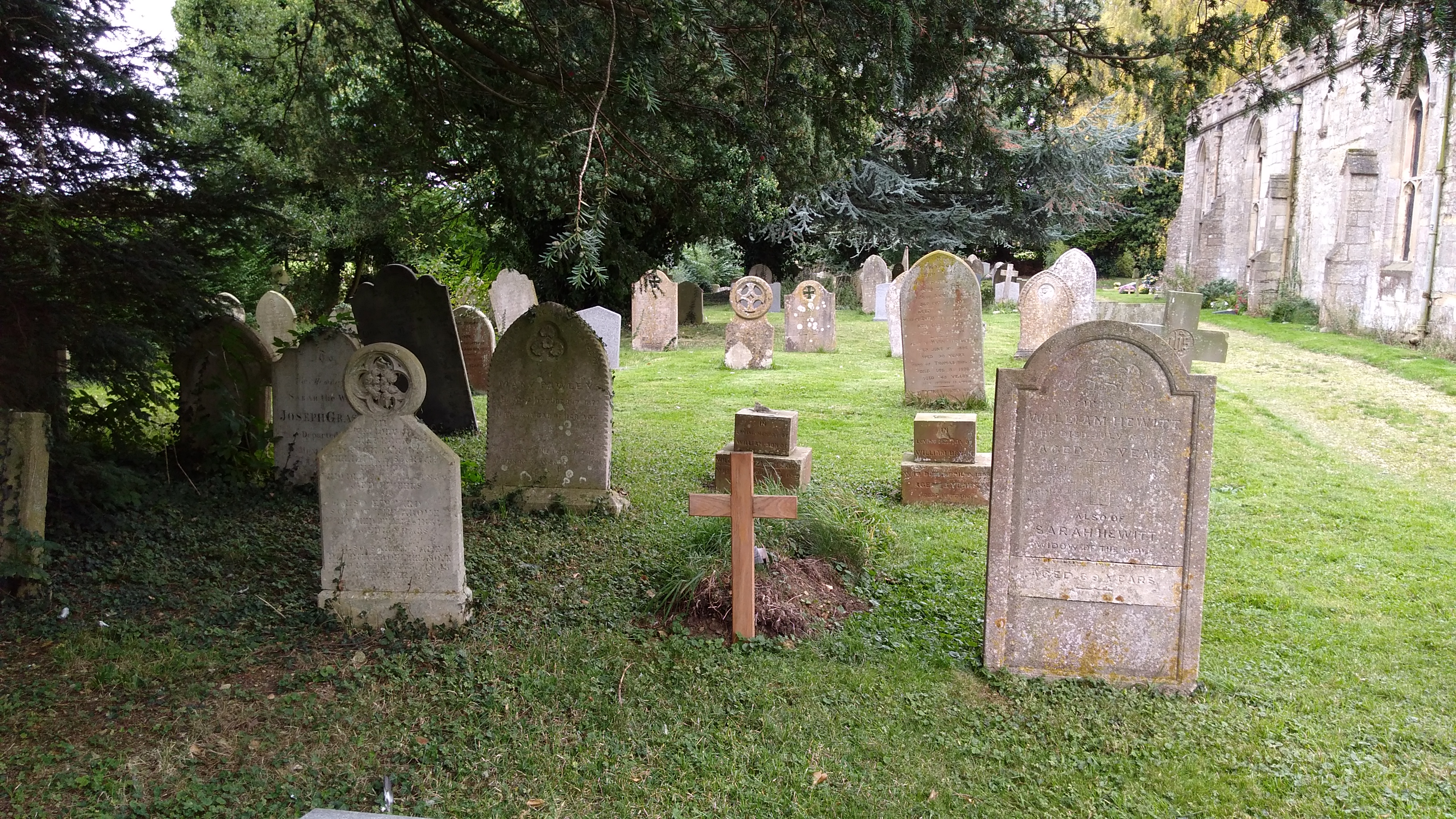
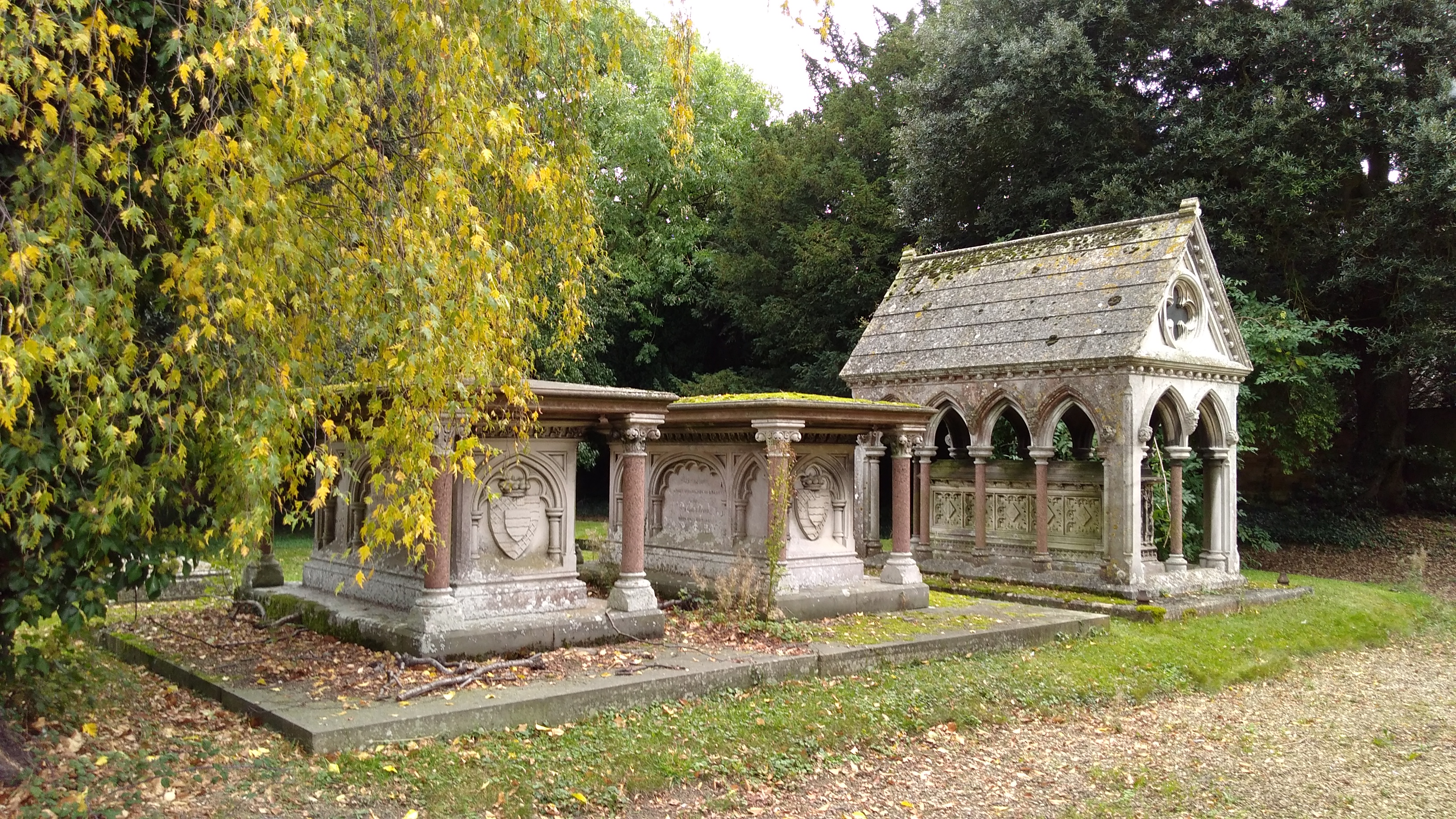
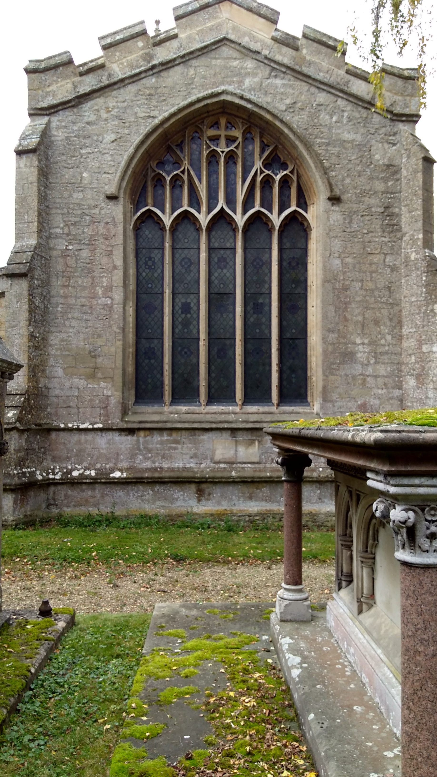
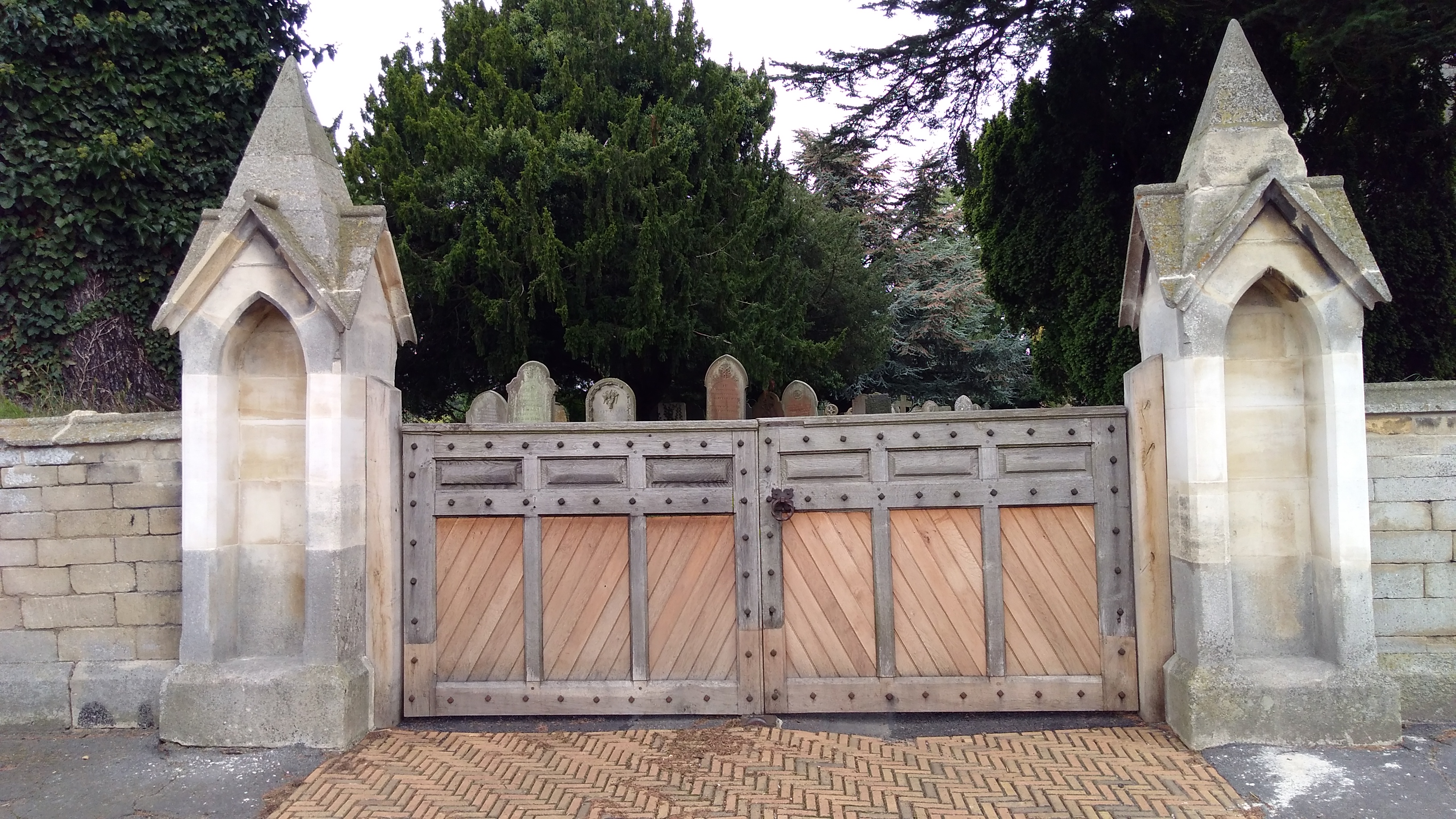
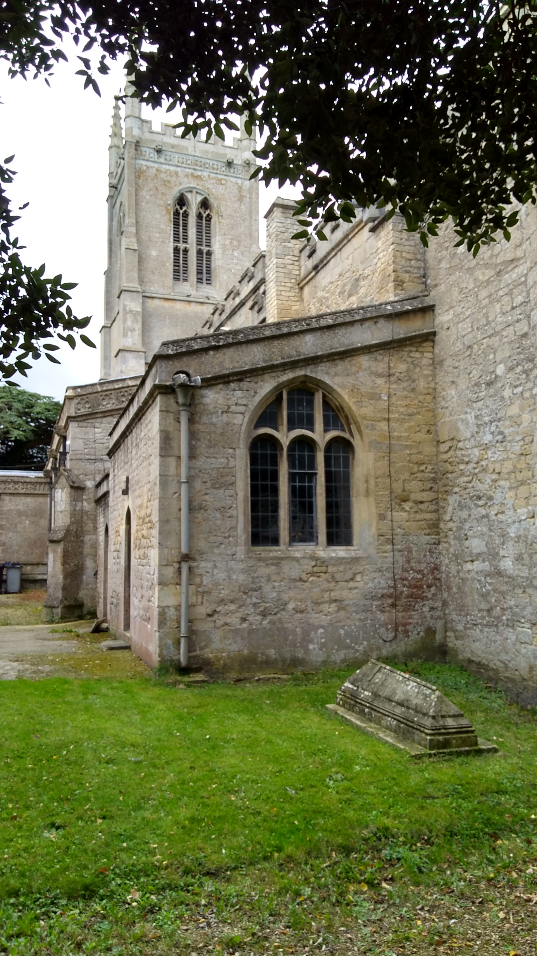
| Description | : | Edenham is a village in Lincolnshire, England situated about three miles north-west of Bourne on the A151. The village is part of the Civil Parish of Edenham Grimsthorpe Elsthorpe & Scottlethorpe Edenham church is noted for its retention of some of the late Anglo-Saxon fabric of its early building. The Saxon church was dedicated to the Holy cross, but the dedication is now to St Michael, and it is also known as St Michael and all the Angels. The church has a magnificent Angel Roof, the beams supported on the back of carved and painted angels. Family monuments were moved there... Read More |
frequently asked questions (FAQ):
-
Where is St Michael Churchyard?
St Michael Churchyard is located at Main Street Edenham, South Kesteven District ,Lincolnshire , PE10 0LSEngland.
-
St Michael Churchyard cemetery's updated grave count on graveviews.com?
102 memorials
-
Where are the coordinates of the St Michael Churchyard?
Latitude: 52.7836110
Longitude: -0.4266560
Nearby Cemetories:
1. Bourne Abbey
Bourne, South Kesteven District, England
Coordinate: 52.7661320, -0.3758389
2. St John the Baptist Churchyard
Morton, South Kesteven District, England
Coordinate: 52.8025100, -0.3724200
3. St Mary Churchyard
Swinstead, South Kesteven District, England
Coordinate: 52.7900380, -0.4909380
4. Bourne Cemetery
Bourne, South Kesteven District, England
Coordinate: 52.7607264, -0.3714663
5. St Peter Churchyard
Creeton, South Kesteven District, England
Coordinate: 52.7669500, -0.4977300
6. St. Andrews Churchyard
Witham on the Hill, South Kesteven District, England
Coordinate: 52.7364500, -0.4420300
7. St Andrew's Churchyard
Haconby, South Kesteven District, England
Coordinate: 52.8135400, -0.3594300
8. St Stephen Churchyard
Careby, South Kesteven District, England
Coordinate: 52.7363500, -0.4823700
9. St Firmin Churchyard
Thurlby, South Kesteven District, England
Coordinate: 52.7375960, -0.3646650
10. St John the Evangelist Churchyard
Corby Glen, South Kesteven District, England
Coordinate: 52.8132500, -0.5157630
11. St Nicholas Churchyard
Swayfield, South Kesteven District, England
Coordinate: 52.7922400, -0.5284400
12. St Andrew's Churchyard
Rippingale, South Kesteven District, England
Coordinate: 52.8366700, -0.3718000
13. Saint Stephen
Carlby, South Kesteven District, England
Coordinate: 52.7125650, -0.4475800
14. St James Churchyard
Castle Bytham, South Kesteven District, England
Coordinate: 52.7537140, -0.5367360
15. St Wilfrid
Holywell, South Kesteven District, England
Coordinate: 52.7329915, -0.5149881
16. St Faith Churchyard
Wilsthorpe, South Kesteven District, England
Coordinate: 52.7095208, -0.3848166
17. St James the Great Churchyard
Aslackby, South Kesteven District, England
Coordinate: 52.8600900, -0.3894200
18. Aslackby Cemetery
Aslackby, South Kesteven District, England
Coordinate: 52.8597838, -0.3855002
19. Baston Cemetery
Baston, South Kesteven District, England
Coordinate: 52.7149917, -0.3531338
20. St John the Baptist Churchyard
Baston, South Kesteven District, England
Coordinate: 52.7149530, -0.3530650
21. St Mary Magdalene Churchyard
Essendine, Rutland Unitary Authority, England
Coordinate: 52.7026000, -0.4489000
22. St Mary Magdalene
Bitchfield, South Kesteven District, England
Coordinate: 52.8441000, -0.5418600
23. St Michael and All Angels Churchyard
Langtoft, South Kesteven District, England
Coordinate: 52.6990300, -0.3389800
24. St Martin Churchyard
Barholm, South Kesteven District, England
Coordinate: 52.6855000, -0.3887600