| Memorials | : | 0 |
| Location | : | Cheslyn Hay, South Staffordshire Borough, England |
| Phone | : | 01902 696111 |
| Coordinate | : | 52.6485291, -2.0300821 |
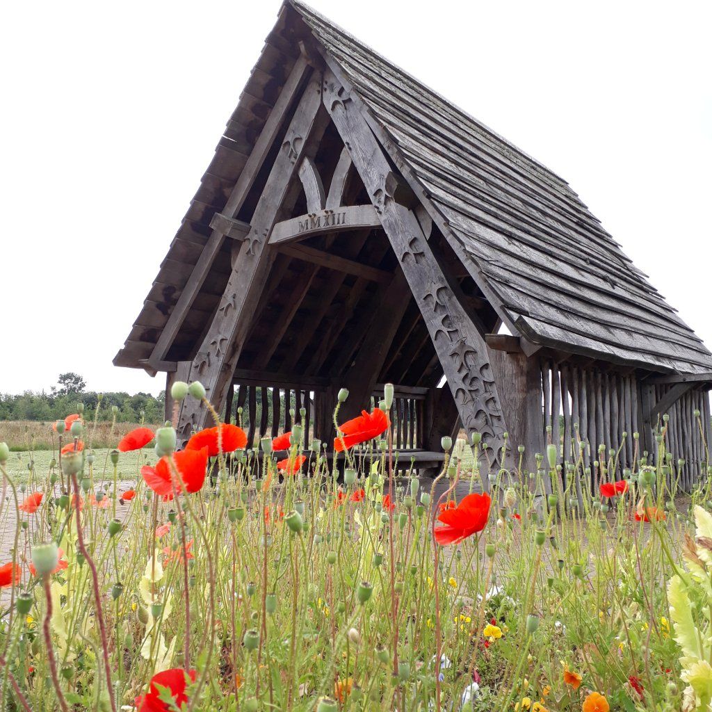
| Description | : | Strawberry Lane Cemetery opened in July 2013. The simple but effective design aims to combine the practical needs of a working cemetery along with conservation and habitat creation. The cemetery is adjacent to the Wyrley and Essington canal, which has Local Nature Reserve (LNR) status and panoramic views of rural Staffordshire can be seen from the site. For those using a Sat-Nav the postcode is WS6 7AU. Cemetery is open: 1 April to 30 September from 9.00 am to 8.00 pm. 1 October to 31 March from 9.00 am to 4.30 pm. PLEASE NOTE: The gates open and... Read More |
frequently asked questions (FAQ):
-
Where is Strawberry Lane Cemetery?
Strawberry Lane Cemetery is located at Strawberry Lane Cheslyn Hay, South Staffordshire Borough ,Staffordshire , WS6 7AUEngland.
-
Strawberry Lane Cemetery cemetery's updated grave count on graveviews.com?
0 memorials
-
Where are the coordinates of the Strawberry Lane Cemetery?
Latitude: 52.6485291
Longitude: -2.0300821
Nearby Cemetories:
1. Cheslyn Hay Cemetery
Cheslyn Hay, South Staffordshire Borough, England
Coordinate: 52.6581170, -2.0431790
2. Great Wyrley Cemetery
Great Wyrley, South Staffordshire Borough, England
Coordinate: 52.6642130, -2.0269380
3. St. Mark's Churchyard
Great Wyrley, South Staffordshire Borough, England
Coordinate: 52.6664250, -2.0231955
4. North Walsall Cemetery
Bloxwich, Metropolitan Borough of Walsall, England
Coordinate: 52.6321680, -2.0151070
5. Bloxwich Cemetery
Bloxwich, Metropolitan Borough of Walsall, England
Coordinate: 52.6188070, -1.9963110
6. All Saints Church Cemetery
Bloxwich, Metropolitan Borough of Walsall, England
Coordinate: 52.6147940, -2.0050330
7. St Mary Roman Catholic Churchyard
Cannock, Cannock Chase District, England
Coordinate: 52.6867620, -2.0283360
8. St. Luke's Churchyard
Cannock, Cannock Chase District, England
Coordinate: 52.6889919, -2.0287352
9. St. Saviour Churchyard
Hatherton, South Staffordshire Borough, England
Coordinate: 52.6841730, -2.0660840
10. Holy Trinity Churchyard Shortheath
Willenhall, Metropolitan Borough of Walsall, England
Coordinate: 52.6047160, -2.0364190
11. Willenhall Lawn Cemetery
Willenhall, Metropolitan Borough of Walsall, England
Coordinate: 52.6001870, -2.0327110
12. St John Churchyard
Heath Hayes, Cannock Chase District, England
Coordinate: 52.6914160, -1.9846280
13. Cannock Cemetery
Cannock, Cannock Chase District, England
Coordinate: 52.7008790, -2.0288950
14. Bushbury Cemetery and Crematorium
Bushbury, Metropolitan Borough of Wolverhampton, England
Coordinate: 52.6247480, -2.1083690
15. Ryecroft Cemetery
Walsall, Metropolitan Borough of Walsall, England
Coordinate: 52.6012820, -1.9752140
16. St. Mary's Churchyard
Bushbury, Metropolitan Borough of Wolverhampton, England
Coordinate: 52.6199160, -2.1130120
17. St. Thomas Churchyard
Wednesfield, Metropolitan Borough of Wolverhampton, England
Coordinate: 52.5997080, -2.0835350
18. St. Anne Churchyard Chasetown
Burntwood, Lichfield District, England
Coordinate: 52.6693850, -1.9381720
19. Our Lady of Lourdes Churchyard
Hednesford, Cannock Chase District, England
Coordinate: 52.7051311, -1.9969935
20. Wednesfield New Burial Ground
Wednesfield, Metropolitan Borough of Wolverhampton, England
Coordinate: 52.6003500, -2.0918900
21. St. Peter's Churchyard
Hednesford, Cannock Chase District, England
Coordinate: 52.7050630, -1.9918330
22. Bentley Cemetery
Willenhall, Metropolitan Borough of Walsall, England
Coordinate: 52.5868880, -2.0299620
23. Wood Street Cemetery
Willenhall, Metropolitan Borough of Walsall, England
Coordinate: 52.5867500, -2.0528900
24. St. Giles Church Cholera Burial Ground
Willenhall, Metropolitan Borough of Coventry, England
Coordinate: 52.5851060, -2.0498580


