
| Memorials | : | 2 |
| Location | : | Florence, Boone County, USA |
| Coordinate | : | 39.0041670, -84.6297230 |
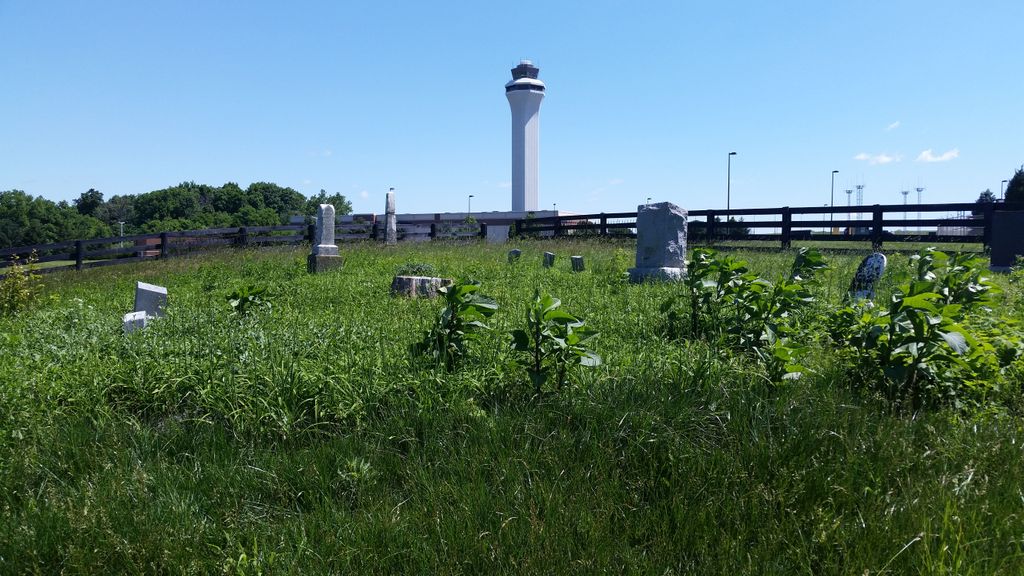
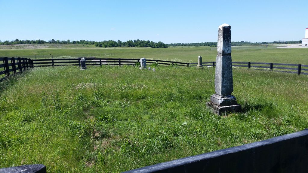
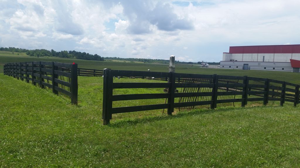
| Description | : | The cemetery is located east of Burlington Pike and west of Price Pike between Girard Street and Sweetbriar Avenue. The Boone County GIS unique ID assigned to this cemetery is 48 (Clutterbuck Cemetery). The cemetery has an index number of 49 (Clutterbuck) on the Boone County Kentucky Cemetery Map published in 2005 by the Boone County Planning Commission in conjunction with Johnson-Wilson Cemetery Stewards Association. The cemetery is identified as Popham in the index and listed as Airport Cemeteries 2. Popham on page 340 of the book “Boone County, Kentucky Cemeteries” by Stephen W. Worrel, M.A. & Anne W. Fitzgerald, B.S.,... Read More |
frequently asked questions (FAQ):
-
Where is Clutterbuck Cemetery?
Clutterbuck Cemetery is located at 7122 Burlington Pike Florence, Boone County ,Kentucky , 41042USA.
-
Clutterbuck Cemetery cemetery's updated grave count on graveviews.com?
2 memorials
-
Where are the coordinates of the Clutterbuck Cemetery?
Latitude: 39.0041670
Longitude: -84.6297230
Nearby Cemetories:
1. Florence Cemetery
Florence, Boone County, USA
Coordinate: 39.0001000, -84.6309800
2. Ashbrook-Cheek Cemetery (Defunct)
Florence, Boone County, USA
Coordinate: 39.0116670, -84.6308350
3. Wilhoit Cemetery
Florence, Boone County, USA
Coordinate: 38.9974070, -84.6187990
4. Carpenter Family Cemetery
Florence, Boone County, USA
Coordinate: 38.9914700, -84.6298610
5. Joshua Zimmerman Cemetery
Florence, Boone County, USA
Coordinate: 39.0074220, -84.6462590
6. Ephriam Tanner Cemetery
Florence, Boone County, USA
Coordinate: 38.9880810, -84.6350260
7. Vaughan-Marquis Cemetery
Florence, Boone County, USA
Coordinate: 39.0120470, -84.6527480
8. Hoffman-Grubbs Cemetery
Florence, Boone County, USA
Coordinate: 38.9841670, -84.6283330
9. Hopeful Lutheran Church Cemetery
Florence, Boone County, USA
Coordinate: 39.0005302, -84.6577225
10. Snyder-Blankenbecker Cemetery
Florence, Boone County, USA
Coordinate: 38.9855560, -84.6458330
11. Saint Pius X Seminary Cemetery
Florence, Boone County, USA
Coordinate: 39.0289460, -84.6280990
12. Stevenson Cemetery (Defunct)
Edgewood, Kenton County, USA
Coordinate: 39.0163320, -84.5980660
13. French Cemetery
Elsmere, Kenton County, USA
Coordinate: 39.0077780, -84.5944500
14. Mary E. Smith Cemetery
Elsmere, Kenton County, USA
Coordinate: 39.0029060, -84.5938560
15. John Stephens Cemetery
Florence, Boone County, USA
Coordinate: 38.9779730, -84.6171670
16. Barlow–Airport Cemetery (Defunct)
Florence, Boone County, USA
Coordinate: 39.0200560, -84.6594120
17. Yager Cemetery
Erlanger, Kenton County, USA
Coordinate: 39.0027780, -84.5933330
18. Daniel Beemon Cemetery
Florence, Boone County, USA
Coordinate: 39.0141670, -84.6641670
19. Margaret Aylor Cemetery
Florence, Boone County, USA
Coordinate: 38.9765250, -84.6447020
20. Holsclaw Cemetery
Florence, Boone County, USA
Coordinate: 38.9802430, -84.6541820
21. Forest Lawn Memorial Park
Erlanger, Kenton County, USA
Coordinate: 39.0163994, -84.5932999
22. Passionist Monastery Cemetery
Erlanger, Kenton County, USA
Coordinate: 39.0350600, -84.6305300
23. Milton Beemon Cemetery
Florence, Boone County, USA
Coordinate: 39.0111110, -84.6700000
24. Zimmerman Cemetery (Defunct)
Florence, Boone County, USA
Coordinate: 38.9825000, -84.6616670