
| Memorials | : | 104 |
| Location | : | Erlanger, Kenton County, USA |
| Phone | : | 859-360-5048 |
| Coordinate | : | 39.0163994, -84.5932999 |
| Description | : | The land was purchased for use as a cemetery in 1935. The first burial occurred in January 1937. The U.S. Geological Survey (USGS) Geographic Names Information System (GNIS) feature ID for the cemetery is 492327 (Forest Lawn Memorial Park). |
frequently asked questions (FAQ):
-
Where is Forest Lawn Memorial Park?
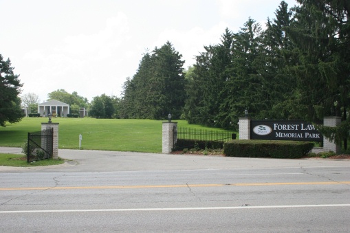
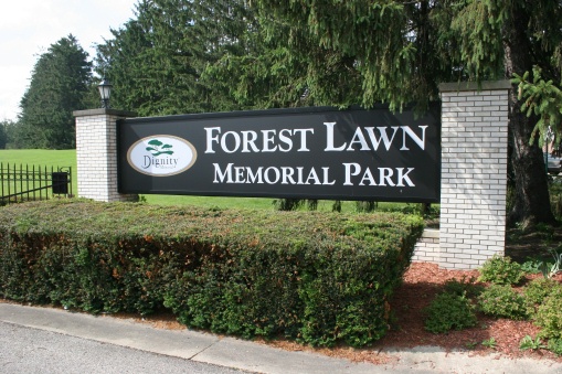
Forest Lawn Memorial Park is located at 3227 Dixie Highway Erlanger, Kenton County ,Kentucky , 41018USA.
-
Forest Lawn Memorial Park cemetery's updated grave count on graveviews.com?
98 memorials
-
Where are the coordinates of the Forest Lawn Memorial Park?
Latitude: 39.0163994
Longitude: -84.5932999
Nearby Cemetories:
1. Stevenson Cemetery (Defunct)
Edgewood, Kenton County, USA
Coordinate: 39.0163320, -84.5980660
2. French Cemetery
Elsmere, Kenton County, USA
Coordinate: 39.0077780, -84.5944500
3. Casey Cemetery
Edgewood, Kenton County, USA
Coordinate: 39.0254170, -84.5865000
4. Dry Creek Baptist Church Cemetery
Edgewood, Kenton County, USA
Coordinate: 39.0183330, -84.5769440
5. Mary E. Smith Cemetery
Elsmere, Kenton County, USA
Coordinate: 39.0029060, -84.5938560
6. Yager Cemetery
Erlanger, Kenton County, USA
Coordinate: 39.0027780, -84.5933330
7. Beechwood Farm Cemetery
Crestview Hills, Kenton County, USA
Coordinate: 39.0304020, -84.5756360
8. Perry Family Burying Ground
Lakeside Park, Kenton County, USA
Coordinate: 39.0333600, -84.5724130
9. Wilhoit Cemetery
Florence, Boone County, USA
Coordinate: 38.9974070, -84.6187990
10. Ashbrook-Cheek Cemetery (Defunct)
Florence, Boone County, USA
Coordinate: 39.0116670, -84.6308350
11. Jarrell Cemetery
Erlanger, Kenton County, USA
Coordinate: 38.9901000, -84.5754870
12. Saint Pius X Seminary Cemetery
Florence, Boone County, USA
Coordinate: 39.0289460, -84.6280990
13. Clutterbuck Cemetery
Florence, Boone County, USA
Coordinate: 39.0041670, -84.6297230
14. Florence Cemetery
Florence, Boone County, USA
Coordinate: 39.0001000, -84.6309800
15. Passionist Monastery Cemetery
Erlanger, Kenton County, USA
Coordinate: 39.0350600, -84.6305300
16. Walton Cemetery
Hebron, Boone County, USA
Coordinate: 39.0456700, -84.6198900
17. Cain Cemetery
Edgewood, Kenton County, USA
Coordinate: 38.9905560, -84.5611110
18. Riggs Cemetery (Defunct)
Crescent Springs, Kenton County, USA
Coordinate: 39.0494440, -84.6138890
19. Carpenter Family Cemetery
Florence, Boone County, USA
Coordinate: 38.9914700, -84.6298610
20. Senour Cemetery
Edgewood, Kenton County, USA
Coordinate: 38.9905320, -84.5563500
21. Tupman Cemetery
Villa Hills, Kenton County, USA
Coordinate: 39.0528600, -84.6153440
22. Highland Pet Cemetery
Fort Mitchell, Kenton County, USA
Coordinate: 39.0384507, -84.5483047
23. Northern Kentucky Police K-9 Memorial
Fort Mitchell, Kenton County, USA
Coordinate: 39.0387149, -84.5476438
24. Joshua Zimmerman Cemetery
Florence, Boone County, USA
Coordinate: 39.0074220, -84.6462590