
| Memorials | : | 0 |
| Location | : | Florence, Boone County, USA |
| Coordinate | : | 38.9974070, -84.6187990 |
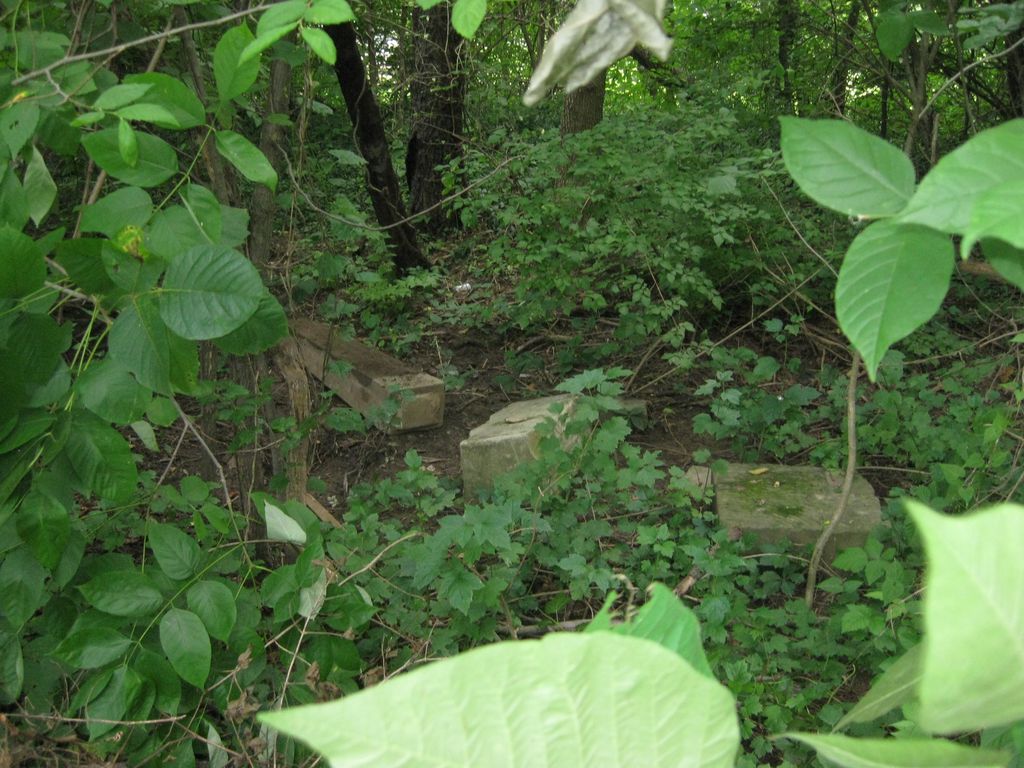
| Description | : | The cemetery is located behind 7296 Banklick Street and 7704 Ravenswood Drive. The Boone County GIS unique ID assigned to this cemetery is 190 (Wilhoit Cemetery). The cemetery has an index number of 191 (Wilhoit) on the Boone County Kentucky Cemetery Map published in 2005 by the Boone County Planning Commission in conjunction with Johnson-Wilson Cemetery Stewards Association. The cemetery is identified as Willhoit in the index and listed as Willhoit Cemetery on page 344 of the book “Boone County, Kentucky Cemeteries” by Stephen W. Worrel, M.A. & Anne W. Fitzgerald, B.S., © 1996. The cemetery is identified as the Willhoit Cemetery – Wilhoit... Read More |
frequently asked questions (FAQ):
-
Where is Wilhoit Cemetery?
Wilhoit Cemetery is located at 7704 Ravenswood Drive Florence, Boone County ,Kentucky , 41042USA.
-
Wilhoit Cemetery cemetery's updated grave count on graveviews.com?
0 memorials
-
Where are the coordinates of the Wilhoit Cemetery?
Latitude: 38.9974070
Longitude: -84.6187990
Nearby Cemetories:
1. Florence Cemetery
Florence, Boone County, USA
Coordinate: 39.0001000, -84.6309800
2. Carpenter Family Cemetery
Florence, Boone County, USA
Coordinate: 38.9914700, -84.6298610
3. Clutterbuck Cemetery
Florence, Boone County, USA
Coordinate: 39.0041670, -84.6297230
4. Hoffman-Grubbs Cemetery
Florence, Boone County, USA
Coordinate: 38.9841670, -84.6283330
5. Ephriam Tanner Cemetery
Florence, Boone County, USA
Coordinate: 38.9880810, -84.6350260
6. Ashbrook-Cheek Cemetery (Defunct)
Florence, Boone County, USA
Coordinate: 39.0116670, -84.6308350
7. John Stephens Cemetery
Florence, Boone County, USA
Coordinate: 38.9779730, -84.6171670
8. Mary E. Smith Cemetery
Elsmere, Kenton County, USA
Coordinate: 39.0029060, -84.5938560
9. Yager Cemetery
Erlanger, Kenton County, USA
Coordinate: 39.0027780, -84.5933330
10. French Cemetery
Elsmere, Kenton County, USA
Coordinate: 39.0077780, -84.5944500
11. Joshua Zimmerman Cemetery
Florence, Boone County, USA
Coordinate: 39.0074220, -84.6462590
12. Snyder-Blankenbecker Cemetery
Florence, Boone County, USA
Coordinate: 38.9855560, -84.6458330
13. Stevenson Cemetery (Defunct)
Edgewood, Kenton County, USA
Coordinate: 39.0163320, -84.5980660
14. Dixon Cemetery
Florence, Boone County, USA
Coordinate: 38.9702780, -84.6152780
15. Forest Lawn Memorial Park
Erlanger, Kenton County, USA
Coordinate: 39.0163994, -84.5932999
16. Margaret Aylor Cemetery
Florence, Boone County, USA
Coordinate: 38.9765250, -84.6447020
17. Stephens Family Cemetery
Erlanger, Kenton County, USA
Coordinate: 38.9684470, -84.6119950
18. Vaughan-Marquis Cemetery
Florence, Boone County, USA
Coordinate: 39.0120470, -84.6527480
19. Hopeful Lutheran Church Cemetery
Florence, Boone County, USA
Coordinate: 39.0005302, -84.6577225
20. Saint Pius X Seminary Cemetery
Florence, Boone County, USA
Coordinate: 39.0289460, -84.6280990
21. Holsclaw Cemetery
Florence, Boone County, USA
Coordinate: 38.9802430, -84.6541820
22. Jarrell Cemetery
Erlanger, Kenton County, USA
Coordinate: 38.9901000, -84.5754870
23. Zimmerman Cemetery (Defunct)
Florence, Boone County, USA
Coordinate: 38.9825000, -84.6616670
24. Casey Cemetery
Edgewood, Kenton County, USA
Coordinate: 39.0254170, -84.5865000