
| Memorials | : | 0 |
| Location | : | Freedom, Carroll County, USA |
| Coordinate | : | 43.8316670, -71.0080560 |
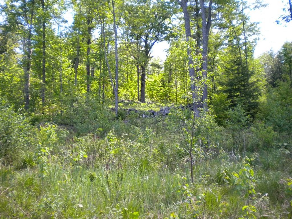
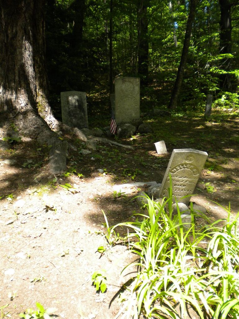
| Description | : | Also known as the Benjamin Frank Harmon Yard. Directions: start at the fountain in Freedom Town Square. Proceed down the Old Portland Road six tenths of a mile to Scarboro Road on the left. Take this road for one and five tenth miles, and on the left near the road will be this cemetery. Directions and inscriptions courtesy of Dotty Brooks, author of Cemetery Records of Freedom New Hampshire. New Hampshire Old Graveyard Association database cemetery code F06-005 |
frequently asked questions (FAQ):
-
Where is Foss Cemetery?
Foss Cemetery is located at Scarboro Road Freedom, Carroll County ,New Hampshire , 03836USA.
-
Foss Cemetery cemetery's updated grave count on graveviews.com?
0 memorials
-
Where are the coordinates of the Foss Cemetery?
Latitude: 43.8316670
Longitude: -71.0080560
Nearby Cemetories:
1. Meserve and McDaniel Cemetery
Freedom, Carroll County, USA
Coordinate: 43.8272220, -71.0130560
2. Fowler Cemetery
Freedom, Carroll County, USA
Coordinate: 43.8205900, -71.0207400
3. Brooks Cemetery
Freedom, Carroll County, USA
Coordinate: 43.8505900, -71.0066900
4. Sargent Cemetery
Freedom, Carroll County, USA
Coordinate: 43.8489000, -70.9943000
5. Roberts Cemetery
Porter, Oxford County, USA
Coordinate: 43.8465200, -70.9853400
6. Swett Hill Cemetery
Freedom, Carroll County, USA
Coordinate: 43.8547000, -71.0183000
7. Sargent Cemetery
Porter, Oxford County, USA
Coordinate: 43.8487483, -70.9842183
8. Moses-Young Cemetery
Freedom, Carroll County, USA
Coordinate: 43.8504800, -71.0317500
9. Lakeview Cemetery
Freedom, Carroll County, USA
Coordinate: 43.8107400, -71.0282500
10. Towle Cemetery
Freedom, Carroll County, USA
Coordinate: 43.8136000, -71.0336000
11. Prospect Cemetery
Freedom, Carroll County, USA
Coordinate: 43.8147000, -71.0357000
12. Watson Hill Cemetery
Freedom, Carroll County, USA
Coordinate: 43.8361000, -71.0486000
13. Andrews Hill Cemetery
Freedom, Carroll County, USA
Coordinate: 43.8173000, -71.0444000
14. Emery Cemetery
Porter, Oxford County, USA
Coordinate: 43.8410988, -70.9677963
15. Raffy-Foote Cemetery
Porter, Oxford County, USA
Coordinate: 43.8447400, -70.9697000
16. Hubbard Cemetery
Porter, Oxford County, USA
Coordinate: 43.8228000, -70.9653000
17. Day-Stanley Cemetery
Porter, Oxford County, USA
Coordinate: 43.8457000, -70.9680300
18. Drew Cemetery
Freedom, Carroll County, USA
Coordinate: 43.8607000, -71.0327000
19. Philbrick Cemetery
Porter, Oxford County, USA
Coordinate: 43.8136100, -70.9623200
20. Wilkinson Cemetery
Eaton, Carroll County, USA
Coordinate: 43.8663900, -71.0331800
21. Smart Cemetery
Freedom, Carroll County, USA
Coordinate: 43.8598700, -71.0483200
22. Allard Cemetery
Freedom, Carroll County, USA
Coordinate: 43.8599600, -71.0485000
23. Thurston and Burnham Cemetery
Freedom, Carroll County, USA
Coordinate: 43.8394000, -71.0636000
24. Cushing Corner Cemetery
Freedom, Carroll County, USA
Coordinate: 43.8239990, -71.0647550