
| Memorials | : | 0 |
| Location | : | Freedom, Carroll County, USA |
| Coordinate | : | 43.8598700, -71.0483200 |
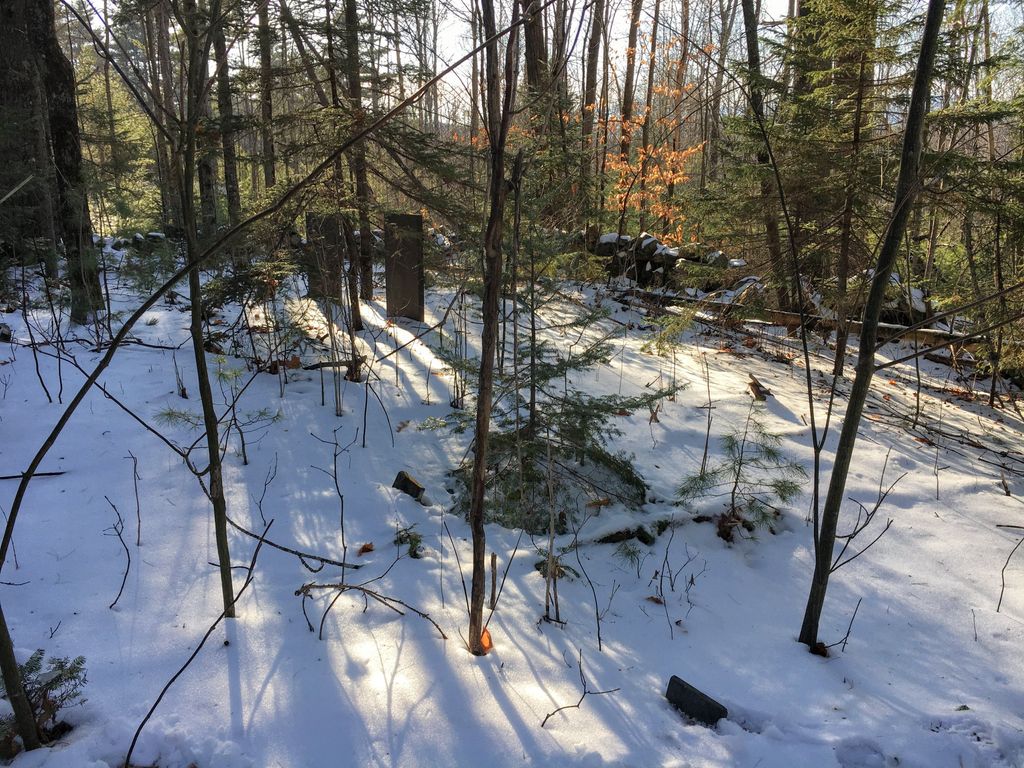
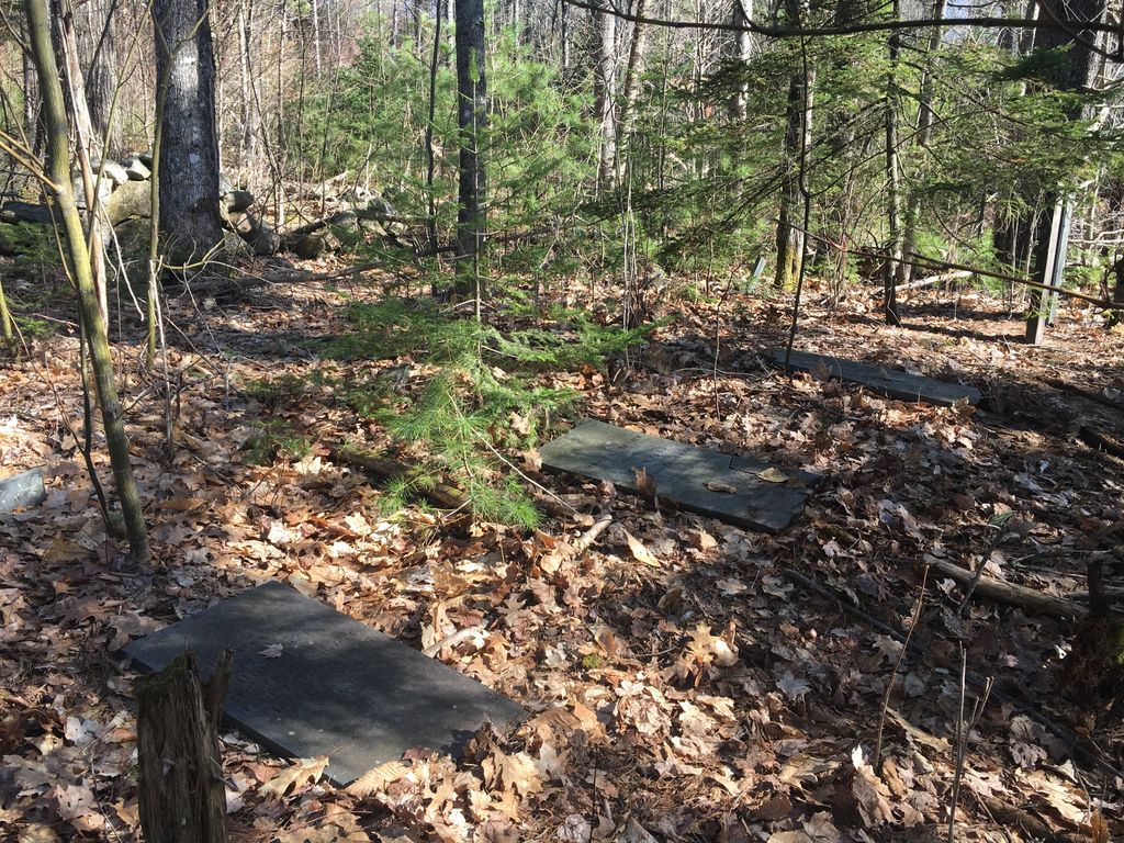
| Description | : | (While this cemetery is technically in Freedom, the trail that leads to the cemetery starts in Eaton.) From its intersection with Young's Hill Road, drive west 0.55 miles on Cold Brook Road/Towle Hill Road to a conservation entrance on the left (south) side. Follow the skidder trail 200 yards southeast. Two stone-walled cemeteries are straight ahead when the road turns to the left (east). Smart Cemetery is on the left (east). |
frequently asked questions (FAQ):
-
Where is Smart Cemetery?
Smart Cemetery is located at Freedom, Carroll County ,New Hampshire ,USA.
-
Smart Cemetery cemetery's updated grave count on graveviews.com?
0 memorials
-
Where are the coordinates of the Smart Cemetery?
Latitude: 43.8598700
Longitude: -71.0483200
Nearby Cemetories:
1. Allard Cemetery
Freedom, Carroll County, USA
Coordinate: 43.8599600, -71.0485000
2. Drew Cemetery
Freedom, Carroll County, USA
Coordinate: 43.8607000, -71.0327000
3. Currier-Wilkinson Cemetery
Eaton, Carroll County, USA
Coordinate: 43.8708500, -71.0433400
4. Allen Cemetery
Eaton, Carroll County, USA
Coordinate: 43.8698200, -71.0591800
5. Wilkinson Cemetery
Eaton, Carroll County, USA
Coordinate: 43.8663900, -71.0331800
6. Moses-Young Cemetery
Freedom, Carroll County, USA
Coordinate: 43.8504800, -71.0317500
7. Thurston Cemetery
Eaton Center, Carroll County, USA
Coordinate: 43.8690000, -71.0658000
8. Eaton Old White Meeting House Cemetery
Eaton Center, Carroll County, USA
Coordinate: 43.8582000, -71.0760000
9. Jenness-Leavitt Cemetery
Eaton, Carroll County, USA
Coordinate: 43.8804900, -71.0565000
10. Swett Hill Cemetery
Freedom, Carroll County, USA
Coordinate: 43.8547000, -71.0183000
11. Thurston and Burnham Cemetery
Freedom, Carroll County, USA
Coordinate: 43.8394000, -71.0636000
12. Watson Hill Cemetery
Freedom, Carroll County, USA
Coordinate: 43.8361000, -71.0486000
13. Durgin Cemetery
Eaton Center, Carroll County, USA
Coordinate: 43.8700000, -71.0816670
14. Thurston Cemetery
Freedom, Carroll County, USA
Coordinate: 43.8423200, -71.0753800
15. Brooks Cemetery
Eaton, Carroll County, USA
Coordinate: 43.8860600, -71.0409300
16. Merrow-Gannett Cemetery
Eaton Center, Carroll County, USA
Coordinate: 43.8745200, -71.0153300
17. Brooks Cemetery
Freedom, Carroll County, USA
Coordinate: 43.8505900, -71.0066900
18. Fernald Cemetery
Eaton, Carroll County, USA
Coordinate: 43.8825600, -71.0159200
19. Smith Burial Ground
Freedom, Carroll County, USA
Coordinate: 43.8466670, -71.0927780
20. Cushing Corner Cemetery
Freedom, Carroll County, USA
Coordinate: 43.8239990, -71.0647550
21. Elwell Cemetery
Eaton, Carroll County, USA
Coordinate: 43.8905200, -71.0819300
22. Ward-Stuart Cemetery
Eaton, Carroll County, USA
Coordinate: 43.8995300, -71.0391100
23. Sargent Cemetery
Freedom, Carroll County, USA
Coordinate: 43.8489000, -70.9943000
24. Foss Cemetery
Freedom, Carroll County, USA
Coordinate: 43.8316670, -71.0080560