
| Memorials | : | 1 |
| Location | : | Eaton Center, Carroll County, USA |
| Coordinate | : | 43.8700000, -71.0816670 |
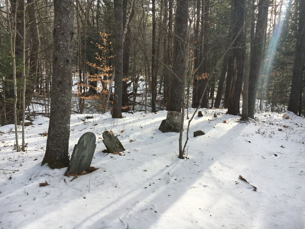
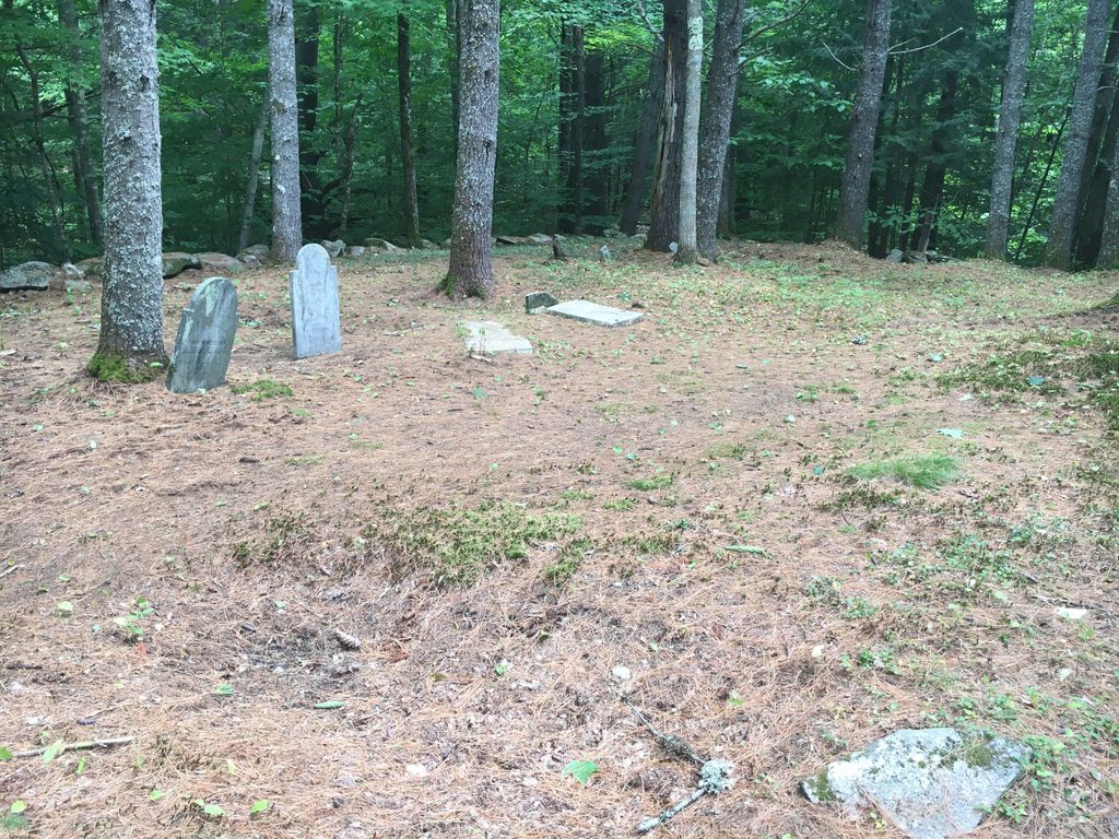
| Description | : | From its intersection with Towle Hill Road, drive north on Sunset Beach Road 0.35 miles. The stone-walled cemetery is 200 feet to the west. Note: This route is a gated ski trail in the winter. |
frequently asked questions (FAQ):
-
Where is Durgin Cemetery?
Durgin Cemetery is located at Sunset Beach Road Eaton Center, Carroll County ,New Hampshire , 03849USA.
-
Durgin Cemetery cemetery's updated grave count on graveviews.com?
1 memorials
-
Where are the coordinates of the Durgin Cemetery?
Latitude: 43.8700000
Longitude: -71.0816670
Nearby Cemetories:
1. Thurston Cemetery
Eaton Center, Carroll County, USA
Coordinate: 43.8690000, -71.0658000
2. Eaton Old White Meeting House Cemetery
Eaton Center, Carroll County, USA
Coordinate: 43.8582000, -71.0760000
3. Allen Cemetery
Eaton, Carroll County, USA
Coordinate: 43.8698200, -71.0591800
4. Elwell Cemetery
Eaton, Carroll County, USA
Coordinate: 43.8905200, -71.0819300
5. Jenness-Leavitt Cemetery
Eaton, Carroll County, USA
Coordinate: 43.8804900, -71.0565000
6. Ammi Kennett Cemetery
Madison, Carroll County, USA
Coordinate: 43.8774330, -71.1101670
7. Smith Burial Ground
Freedom, Carroll County, USA
Coordinate: 43.8466670, -71.0927780
8. Allard Cemetery
Freedom, Carroll County, USA
Coordinate: 43.8599600, -71.0485000
9. Smart Cemetery
Freedom, Carroll County, USA
Coordinate: 43.8598700, -71.0483200
10. Palmer Cemetery
Eaton, Carroll County, USA
Coordinate: 43.8973200, -71.0803000
11. Currier-Wilkinson Cemetery
Eaton, Carroll County, USA
Coordinate: 43.8708500, -71.0433400
12. Thurston Cemetery
Freedom, Carroll County, USA
Coordinate: 43.8423200, -71.0753800
13. Thurston and Burnham Cemetery
Freedom, Carroll County, USA
Coordinate: 43.8394000, -71.0636000
14. Brooks Cemetery
Eaton, Carroll County, USA
Coordinate: 43.8860600, -71.0409300
15. Wilkinson Cemetery
Eaton, Carroll County, USA
Coordinate: 43.8663900, -71.0331800
16. Drew Cemetery
Freedom, Carroll County, USA
Coordinate: 43.8607000, -71.0327000
17. Drew-Kenneson Cemetery
Eaton Center, Carroll County, USA
Coordinate: 43.9038890, -71.0572220
18. Kennett Cemetery
Madison, Carroll County, USA
Coordinate: 43.8759830, -71.1340170
19. Eaton Center Cemetery
Eaton Center, Carroll County, USA
Coordinate: 43.9087000, -71.0801000
20. Glines Hill Cemetery
Eaton, Carroll County, USA
Coordinate: 43.9105500, -71.0889300
21. Moses-Young Cemetery
Freedom, Carroll County, USA
Coordinate: 43.8504800, -71.0317500
22. Watson Hill Cemetery
Freedom, Carroll County, USA
Coordinate: 43.8361000, -71.0486000
23. Sawyer-Drew Cemetery
Eaton Center, Carroll County, USA
Coordinate: 43.9022200, -71.0453300
24. Ward-Stuart Cemetery
Eaton, Carroll County, USA
Coordinate: 43.8995300, -71.0391100