
| Memorials | : | 3 |
| Location | : | Eaton, Carroll County, USA |
| Website | : | brownfieldcemeteries.com/allen-cemetery/ |
| Coordinate | : | 43.8698200, -71.0591800 |
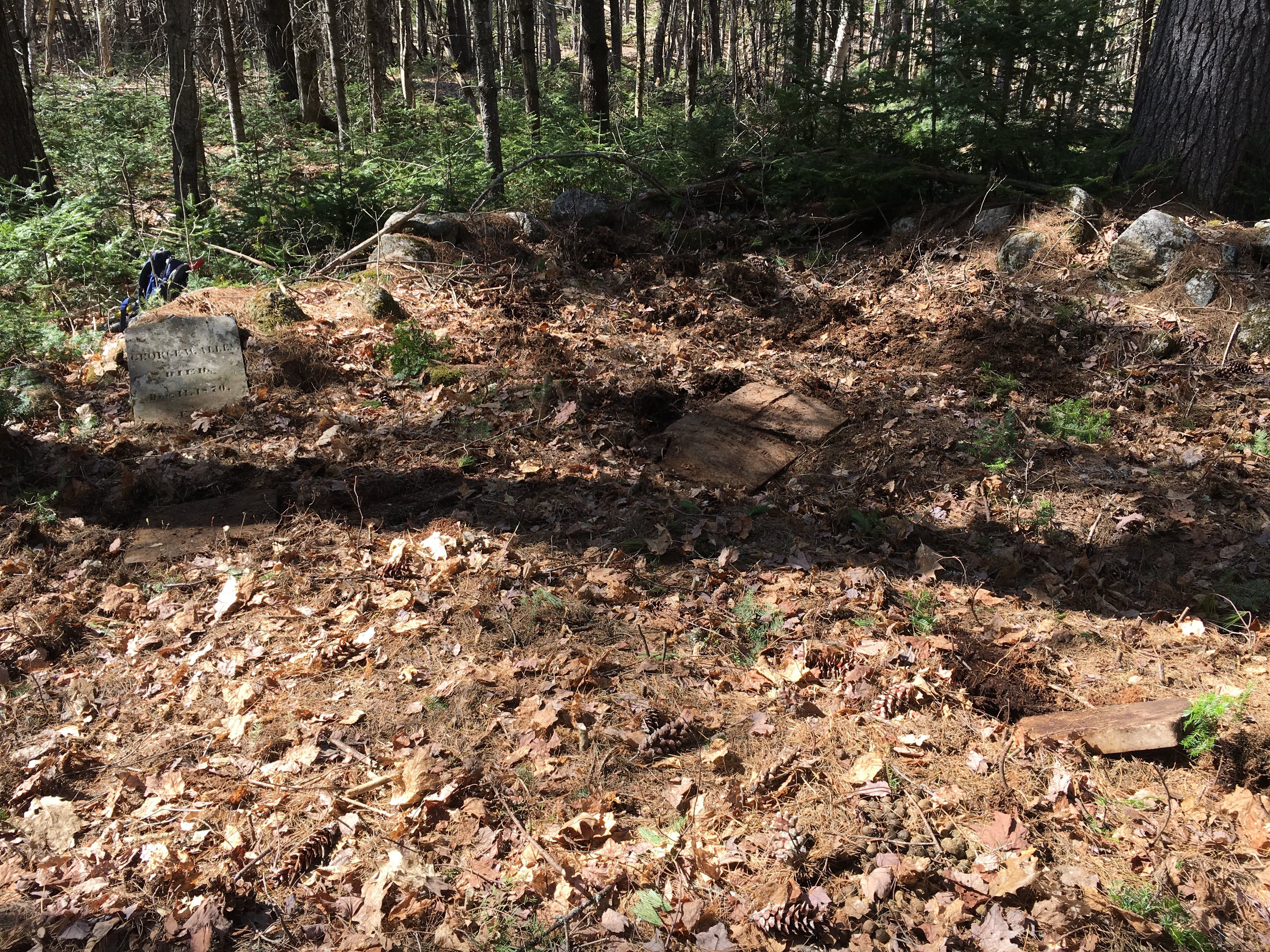
| Description | : | The historic Job Allard house is on the north side of the intersection of Towle Hill Road and Hampton Lane. An old road leaves Towle Hill Road on the left (west) side of the barn. Follow this old road north 0.2 miles to a log bridge over Stony Brook. Continue north on the old road 0.37 miles until a cellar hole on the left (west) side. The small stone-walled cemetery is 100 yards northeast from the cellar. |
frequently asked questions (FAQ):
-
Where is Allen Cemetery?
Allen Cemetery is located at Eaton, Carroll County ,New Hampshire ,USA.
-
Allen Cemetery cemetery's updated grave count on graveviews.com?
3 memorials
-
Where are the coordinates of the Allen Cemetery?
Latitude: 43.8698200
Longitude: -71.0591800
Nearby Cemetories:
1. Thurston Cemetery
Eaton Center, Carroll County, USA
Coordinate: 43.8690000, -71.0658000
2. Jenness-Leavitt Cemetery
Eaton, Carroll County, USA
Coordinate: 43.8804900, -71.0565000
3. Currier-Wilkinson Cemetery
Eaton, Carroll County, USA
Coordinate: 43.8708500, -71.0433400
4. Allard Cemetery
Freedom, Carroll County, USA
Coordinate: 43.8599600, -71.0485000
5. Smart Cemetery
Freedom, Carroll County, USA
Coordinate: 43.8598700, -71.0483200
6. Durgin Cemetery
Eaton Center, Carroll County, USA
Coordinate: 43.8700000, -71.0816670
7. Eaton Old White Meeting House Cemetery
Eaton Center, Carroll County, USA
Coordinate: 43.8582000, -71.0760000
8. Wilkinson Cemetery
Eaton, Carroll County, USA
Coordinate: 43.8663900, -71.0331800
9. Brooks Cemetery
Eaton, Carroll County, USA
Coordinate: 43.8860600, -71.0409300
10. Drew Cemetery
Freedom, Carroll County, USA
Coordinate: 43.8607000, -71.0327000
11. Elwell Cemetery
Eaton, Carroll County, USA
Coordinate: 43.8905200, -71.0819300
12. Moses-Young Cemetery
Freedom, Carroll County, USA
Coordinate: 43.8504800, -71.0317500
13. Thurston Cemetery
Freedom, Carroll County, USA
Coordinate: 43.8423200, -71.0753800
14. Thurston and Burnham Cemetery
Freedom, Carroll County, USA
Coordinate: 43.8394000, -71.0636000
15. Palmer Cemetery
Eaton, Carroll County, USA
Coordinate: 43.8973200, -71.0803000
16. Merrow-Gannett Cemetery
Eaton Center, Carroll County, USA
Coordinate: 43.8745200, -71.0153300
17. Ward-Stuart Cemetery
Eaton, Carroll County, USA
Coordinate: 43.8995300, -71.0391100
18. Swett Hill Cemetery
Freedom, Carroll County, USA
Coordinate: 43.8547000, -71.0183000
19. Smith Burial Ground
Freedom, Carroll County, USA
Coordinate: 43.8466670, -71.0927780
20. Fernald Cemetery
Eaton, Carroll County, USA
Coordinate: 43.8825600, -71.0159200
21. Sawyer-Drew Cemetery
Eaton Center, Carroll County, USA
Coordinate: 43.9022200, -71.0453300
22. Drew-Kenneson Cemetery
Eaton Center, Carroll County, USA
Coordinate: 43.9038890, -71.0572220
23. Flood Cemetery
Eaton Center, Carroll County, USA
Coordinate: 43.8988890, -71.0333330
24. Watson Hill Cemetery
Freedom, Carroll County, USA
Coordinate: 43.8361000, -71.0486000