
| Memorials | : | 0 |
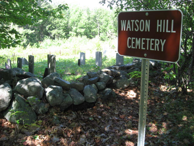
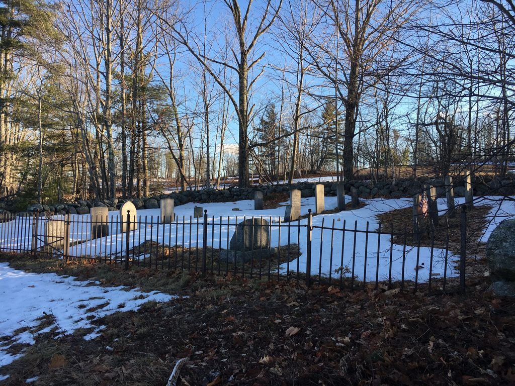
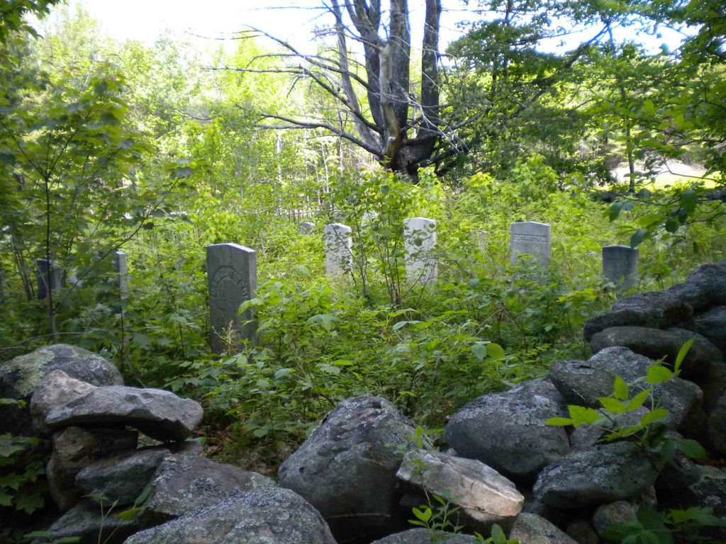
| Location | : | Freedom, Carroll County, USA |
| Coordinate | : | 43.8361000, -71.0486000 |
frequently asked questions (FAQ):
-
Where is Watson Hill Cemetery?
Watson Hill Cemetery is located at Freedom, Carroll County ,New Hampshire ,USA.
-
Watson Hill Cemetery cemetery's updated grave count on graveviews.com?
0 memorials
-
Where are the coordinates of the Watson Hill Cemetery?
Latitude: 43.8361000
Longitude: -71.0486000
Nearby Cemetories:
1. Thurston and Burnham Cemetery
Freedom, Carroll County, USA
Coordinate: 43.8394000, -71.0636000
2. Cushing Corner Cemetery
Freedom, Carroll County, USA
Coordinate: 43.8239990, -71.0647550
3. Moses-Young Cemetery
Freedom, Carroll County, USA
Coordinate: 43.8504800, -71.0317500
4. Andrews Hill Cemetery
Freedom, Carroll County, USA
Coordinate: 43.8173000, -71.0444000
5. Thurston Cemetery
Freedom, Carroll County, USA
Coordinate: 43.8423200, -71.0753800
6. Prospect Cemetery
Freedom, Carroll County, USA
Coordinate: 43.8147000, -71.0357000
7. Smart Cemetery
Freedom, Carroll County, USA
Coordinate: 43.8598700, -71.0483200
8. Allard Cemetery
Freedom, Carroll County, USA
Coordinate: 43.8599600, -71.0485000
9. Towle Cemetery
Freedom, Carroll County, USA
Coordinate: 43.8136000, -71.0336000
10. Fowler Cemetery
Freedom, Carroll County, USA
Coordinate: 43.8205900, -71.0207400
11. Meserve and McDaniel Cemetery
Freedom, Carroll County, USA
Coordinate: 43.8272220, -71.0130560
12. Drew Cemetery
Freedom, Carroll County, USA
Coordinate: 43.8607000, -71.0327000
13. Swett Hill Cemetery
Freedom, Carroll County, USA
Coordinate: 43.8547000, -71.0183000
14. Judkins Cemetery
Freedom, Carroll County, USA
Coordinate: 43.8107600, -71.0673800
15. Lakeview Cemetery
Freedom, Carroll County, USA
Coordinate: 43.8107400, -71.0282500
16. Foss Cemetery
Freedom, Carroll County, USA
Coordinate: 43.8316670, -71.0080560
17. Eaton Old White Meeting House Cemetery
Eaton Center, Carroll County, USA
Coordinate: 43.8582000, -71.0760000
18. Wilkinson Cemetery
Eaton, Carroll County, USA
Coordinate: 43.8663900, -71.0331800
19. Brooks Cemetery
Freedom, Carroll County, USA
Coordinate: 43.8505900, -71.0066900
20. Smith Burial Ground
Freedom, Carroll County, USA
Coordinate: 43.8466670, -71.0927780
21. Allen Cemetery
Eaton, Carroll County, USA
Coordinate: 43.8698200, -71.0591800
22. Currier-Wilkinson Cemetery
Eaton, Carroll County, USA
Coordinate: 43.8708500, -71.0433400
23. Thurston Cemetery
Eaton Center, Carroll County, USA
Coordinate: 43.8690000, -71.0658000
24. Parsons Cemetery
Freedom, Carroll County, USA
Coordinate: 43.7996830, -71.0583040