
| Memorials | : | 0 |
| Location | : | Darden, Henderson County, USA |
| Coordinate | : | 35.6435210, -88.1928930 |
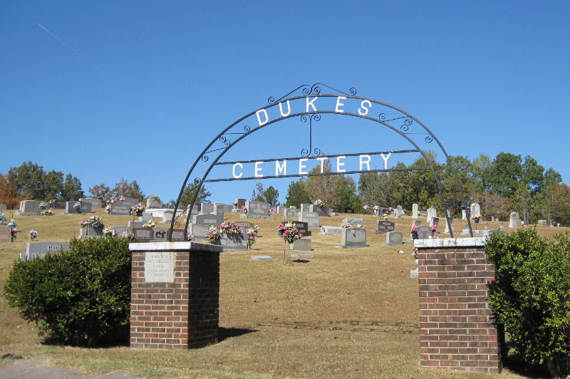
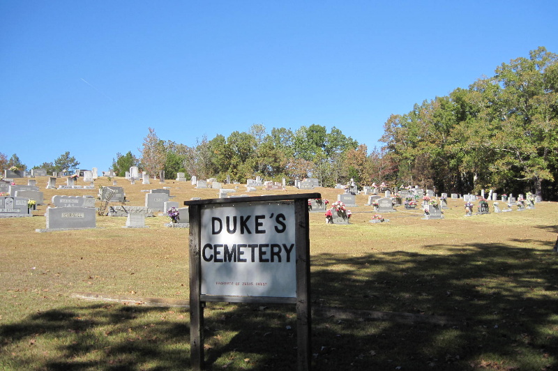
| Description | : | Mt. Ararant Rd. near Airport, west of Parsons. This cemetery is located on Mt. Ararat Road about a half mile north of U.S. 421 on the eastern edge of Henderson County. It appears to be the oldest cemetery in the area, probably dating to the 1820s. Oldest readable death date is 1835. There are several dozen unmarked and fieldstone-marked graves here, though fewer in 2003 than in 1991. There seem to be few recent graves without markers. |
frequently asked questions (FAQ):
-
Where is Dukes Cemetery?
Dukes Cemetery is located at 360 Mt Ararat Darden, Henderson County ,Tennessee ,USA.
-
Dukes Cemetery cemetery's updated grave count on graveviews.com?
0 memorials
-
Where are the coordinates of the Dukes Cemetery?
Latitude: 35.6435210
Longitude: -88.1928930
Nearby Cemetories:
1. Keen Cemetery
Parsons, Decatur County, USA
Coordinate: 35.6459090, -88.1715020
2. Myracle Family Cemetery
Parsons, Decatur County, USA
Coordinate: 35.6234610, -88.1776630
3. Darden Cemetery
Darden, Henderson County, USA
Coordinate: 35.6388910, -88.2244260
4. Barnett Cemetery
Parsons, Decatur County, USA
Coordinate: 35.6377790, -88.1581500
5. Hayes Cemetery
Darden, Henderson County, USA
Coordinate: 35.6702050, -88.2136140
6. Bear Creek Church Cemetery
Parsons, Decatur County, USA
Coordinate: 35.6491130, -88.1481300
7. Corinth Church Cemetery
Darden, Henderson County, USA
Coordinate: 35.6585850, -88.2381060
8. Graves Cemetery
Parsons, Decatur County, USA
Coordinate: 35.6274740, -88.1421470
9. New Hope Baptist Church Cemetery
Decaturville, Decatur County, USA
Coordinate: 35.5992640, -88.1768180
10. Mount Ararat Cemetery
Darden, Henderson County, USA
Coordinate: 35.6907997, -88.2031021
11. Rosson Cemetery
Parsons, Decatur County, USA
Coordinate: 35.6243920, -88.1377210
12. Newsom Family Cemetery
Henderson County, USA
Coordinate: 35.5948410, -88.2104270
13. Derryberry Cemetery
Darden, Henderson County, USA
Coordinate: 35.6898520, -88.2218400
14. Union Church Cemetery
Chesterfield, Henderson County, USA
Coordinate: 35.6336500, -88.2573400
15. Camp Ground Cemetery
Decaturville, Decatur County, USA
Coordinate: 35.5955700, -88.1625440
16. Duke Memorial Cemetery
Henderson County, USA
Coordinate: 35.6863590, -88.2364690
17. Gabbard Cemetery
Parsons, Decatur County, USA
Coordinate: 35.6875340, -88.1507260
18. Presley Cemetery
Darden, Henderson County, USA
Coordinate: 35.5928120, -88.2259270
19. Crowell Chapel Cemetery
Henderson County, USA
Coordinate: 35.5952860, -88.2318640
20. Evans Cemetery
Henderson County, USA
Coordinate: 35.6977997, -88.2172012
21. Hays Cemetery
Bible Hill, Decatur County, USA
Coordinate: 35.6914070, -88.1505910
22. Parsons Cemetery
Parsons, Decatur County, USA
Coordinate: 35.6472200, -88.1205000
23. Hill Cemetery
Parsons, Decatur County, USA
Coordinate: 35.6914190, -88.1505980
24. Herndon Cemetery
Parsons, Decatur County, USA
Coordinate: 35.6181970, -88.1255280