
| Memorials | : | 63 |
| Location | : | Parsons, Decatur County, USA |
| Coordinate | : | 35.6491130, -88.1481300 |
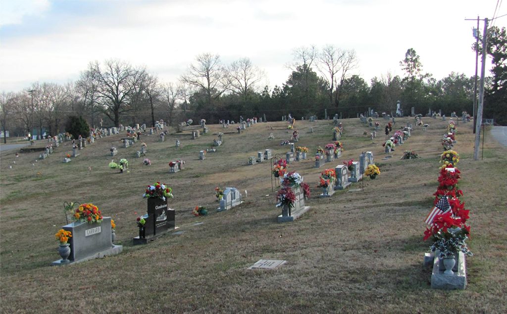
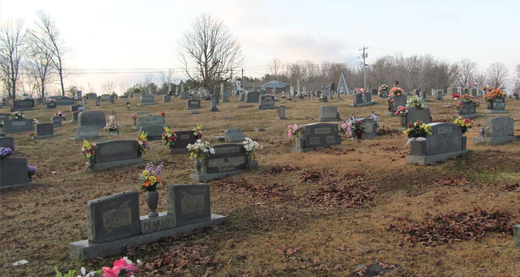
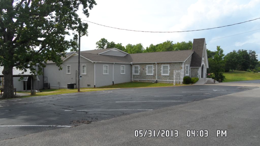
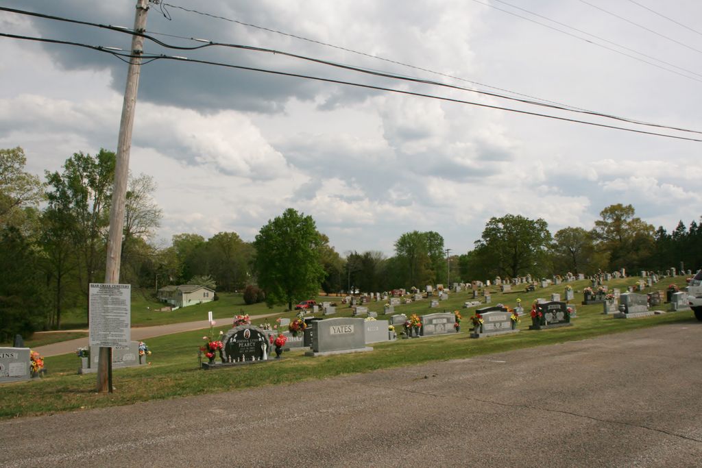
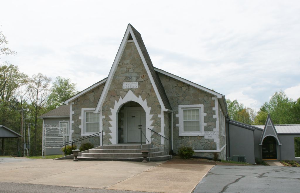
| Description | : | From the intersection of Main St./TN-412 & Tenn. Ave./US-641, in Parson, travel west on Main St./TN-412 for 0.7 mi.; turning north (right) onto Old Lexington Hwy., going 0.5 mi. west, turning north (right) onto Bear Creek Access, going 200 ft. to the cemetery on the east (right) side of the road, across from the Bear Creek Baptist Church. The church moved to its present site in 1902, but the cemetery is about 25 years older. There are few unmarked graves, primarily because footstones from late nineteenth century-early twentieth century markers were moved and used to mark otherwise unmarked graves.... Read More |
frequently asked questions (FAQ):
-
Where is Bear Creek Church Cemetery?
Bear Creek Church Cemetery is located at 61 Bear Creek Access Parsons, Decatur County ,Tennessee ,USA.
-
Bear Creek Church Cemetery cemetery's updated grave count on graveviews.com?
61 memorials
-
Where are the coordinates of the Bear Creek Church Cemetery?
Latitude: 35.6491130
Longitude: -88.1481300
Nearby Cemetories:
1. Barnett Cemetery
Parsons, Decatur County, USA
Coordinate: 35.6377790, -88.1581500
2. Keen Cemetery
Parsons, Decatur County, USA
Coordinate: 35.6459090, -88.1715020
3. Graves Cemetery
Parsons, Decatur County, USA
Coordinate: 35.6274740, -88.1421470
4. Parsons Cemetery
Parsons, Decatur County, USA
Coordinate: 35.6472200, -88.1205000
5. Rosson Cemetery
Parsons, Decatur County, USA
Coordinate: 35.6243920, -88.1377210
6. Clay Cemetery
Parsons, Decatur County, USA
Coordinate: 35.6375510, -88.1126050
7. Myracle Family Cemetery
Parsons, Decatur County, USA
Coordinate: 35.6234610, -88.1776630
8. Mount Tabor Church Cemetery
Parsons, Decatur County, USA
Coordinate: 35.6242020, -88.1169180
9. Herndon Cemetery
Parsons, Decatur County, USA
Coordinate: 35.6181970, -88.1255280
10. Dukes Cemetery
Darden, Henderson County, USA
Coordinate: 35.6435210, -88.1928930
11. Southside Church Cemetery
Parsons, Decatur County, USA
Coordinate: 35.6282030, -88.1103900
12. Gabbard Cemetery
Parsons, Decatur County, USA
Coordinate: 35.6875340, -88.1507260
13. Stills Cemetery
Parsons, Decatur County, USA
Coordinate: 35.6848660, -88.1269820
14. McMurry Cemetery
Parsons, Decatur County, USA
Coordinate: 35.6864650, -88.1294860
15. Cross Roads Church Cemetery
Parsons, Decatur County, USA
Coordinate: 35.6814030, -88.1150360
16. Hays Cemetery
Bible Hill, Decatur County, USA
Coordinate: 35.6914070, -88.1505910
17. Hill Cemetery
Parsons, Decatur County, USA
Coordinate: 35.6914190, -88.1505980
18. Houston Cemetery
Parsons, Decatur County, USA
Coordinate: 35.6171810, -88.1125870
19. Decatur County Memorial Gardens
Parsons, Decatur County, USA
Coordinate: 35.6838580, -88.1127480
20. Iron Hill Church Cemetery
Parsons, Decatur County, USA
Coordinate: 35.6638920, -88.0932450
21. Apostolic Church of Jesus Christ Cemetery
Parsons, Decatur County, USA
Coordinate: 35.6871480, -88.1106520
22. White Cemetery
Decatur County, USA
Coordinate: 35.6068993, -88.1110992
23. Houston Cemetery
Decatur County, USA
Coordinate: 35.6268997, -88.0888977
24. Bible Hill Church Cemetery
Parsons, Decatur County, USA
Coordinate: 35.7025880, -88.1425340